Acadia National Park in Maine is a great place to visit!
**Author’s note: Just a word of warning, as this is a National Park, no dogs are allowed on any trails (exceptions for Service Animals). They are only permitted in the campgrounds and parking lots.**
Mount Desert Island, Bar Harbor and “the Quiet Side” of Acadia National Park
Acadia is a beautiful park that takes up the majority of Mount Desert Island, on Maine’s coast. Thanks to the waterways that are found near it, this island is a bit oddly shaped.
If you’re a visual person, like me, this map may make the directions I use throughout the rest of the post more clear. 😇
The main island is composed of two halves. The eastern half contains Bar Harbor and the majority of the touristy sites–this side is far busier. It definitely offers the most options in way of shops, lodging and food choices, though. Also, many of the tours leave from here, but the amount of traffic and people can get a little crazy.
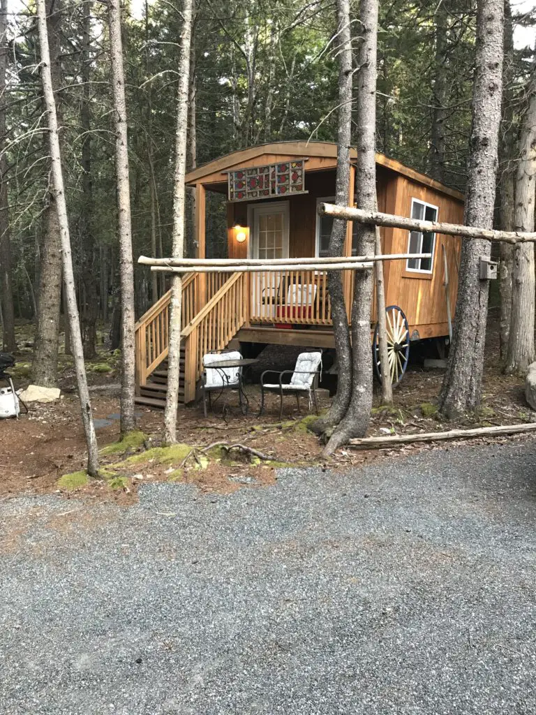
The western half of the island lives up to its nickname as “the Quiet Side of Acadia” as it is far less commercialized and therefore, FAR quieter than the other areas on the island. This is where we rented our “tiny house” Air B&B for the week, and we enjoyed staying here (we live in one of the least populated states in the country, we’re more into wildlife than people 😛). If you’re seeking a more relaxing stay, I recommend staying here, or the even more remote Schoodic Peninsula.
A pass is required to access basically any of the park sites. These are available easily online, but only at a few places on-site (the park gates and the Visitor’s Center). So if you don’t get a pass online, one of your first priorities after arriving here should be to acquire one.
Also, parking can be quite a challenge. The outdoor store, L.L. Bean, has been generous enough to pay for the site’s public shuttles, that run throughout the park and much of the island, making them free for visitors. Bikes can be transported on these, as well.
Acadia was a bit of a different experience for us. The national parks out west, that we’ve become accustomed to, are frequently located in the middle of nowhere. They are also usually surrounded by other public lands (such as BLM land, National Forests, etc.) Also, most national park boundaries surround one big chunk of land. I had anticipated that Acadia would fit these characteristics, as well.
Acadia National Park surprised me though. It is comprised of individual segments of land that are surrounded by residential, privately-owned properties. Much of the park land was donated to the National Park Service by the famous, Rockefeller family, many years ago.
While most of it is found on Mount Desert Island, some also sits on the nearby Schoodic Peninsula (on the mainland) as well as on several islands that are situated a short distance off the coast. The park’s more residential location means it offers easier access to civilization (lodging, restaurants, and shops) but it also poses a bit of a challenge for parking and viewing some of the natural areas as you have to skirt the privately-owned land.
The Best Things to Do at Acadia National Park:
This park has been on the Trekkers’ “to-do” list for a while now. See below for some of the highlights we most enjoyed from our visit…
The Best Sunrise and Sunset spots at Acadia:
Due to the park’s location on the east coast of the US, it is set up much better for viewing sunrises rather than sunsets. This is mainly due to the open ocean being primarily toward the east, while to the west there are forested hills and mountains.
However, if you prefer sunsets, or you want to view both (OR you are lazy, like the Trekkers, and you don’t want to get up at 4 am–or earlier–to go watch the sunrise 😉) I’ll give you some opportune places to catch a nice sunset.
Seal Cove: We didn’t find this site till one of our last nights on the island, but it’s a fine place to watch the sunset (and its easy to reach too). This location is on the southwest corner, of the western half, of Mount Desert Island. This area is a quiet, peaceful place to watch the sunset, and during low tide, it provides a rocky beach to clamber around on.
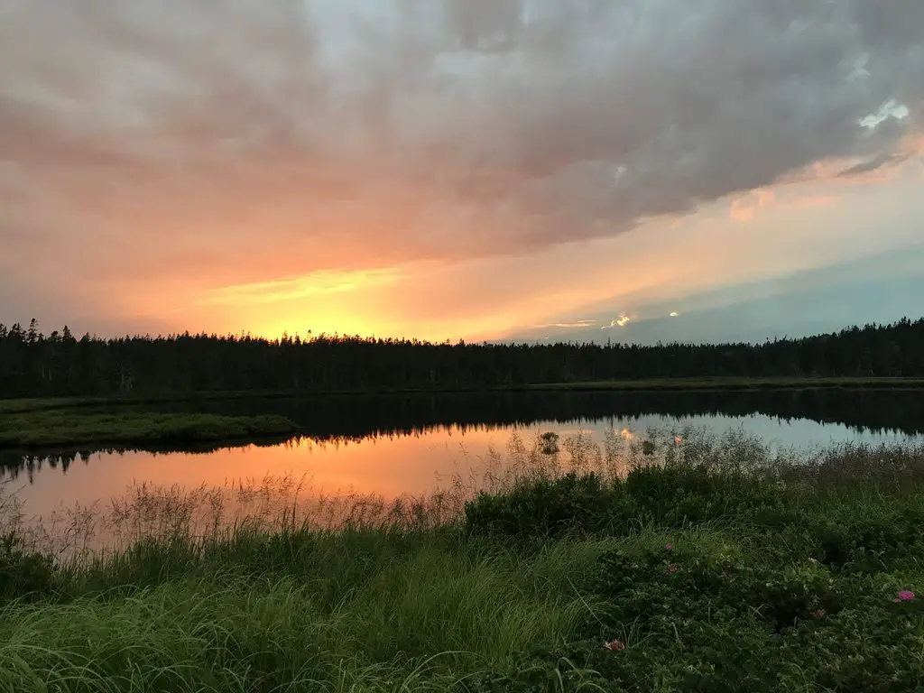
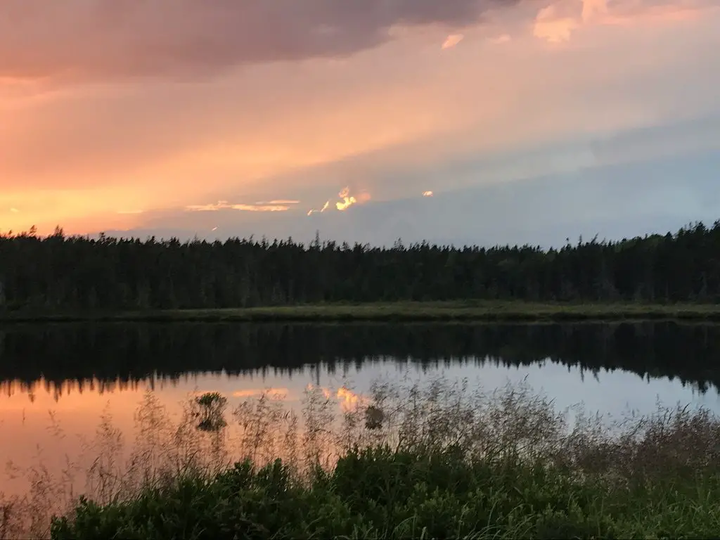
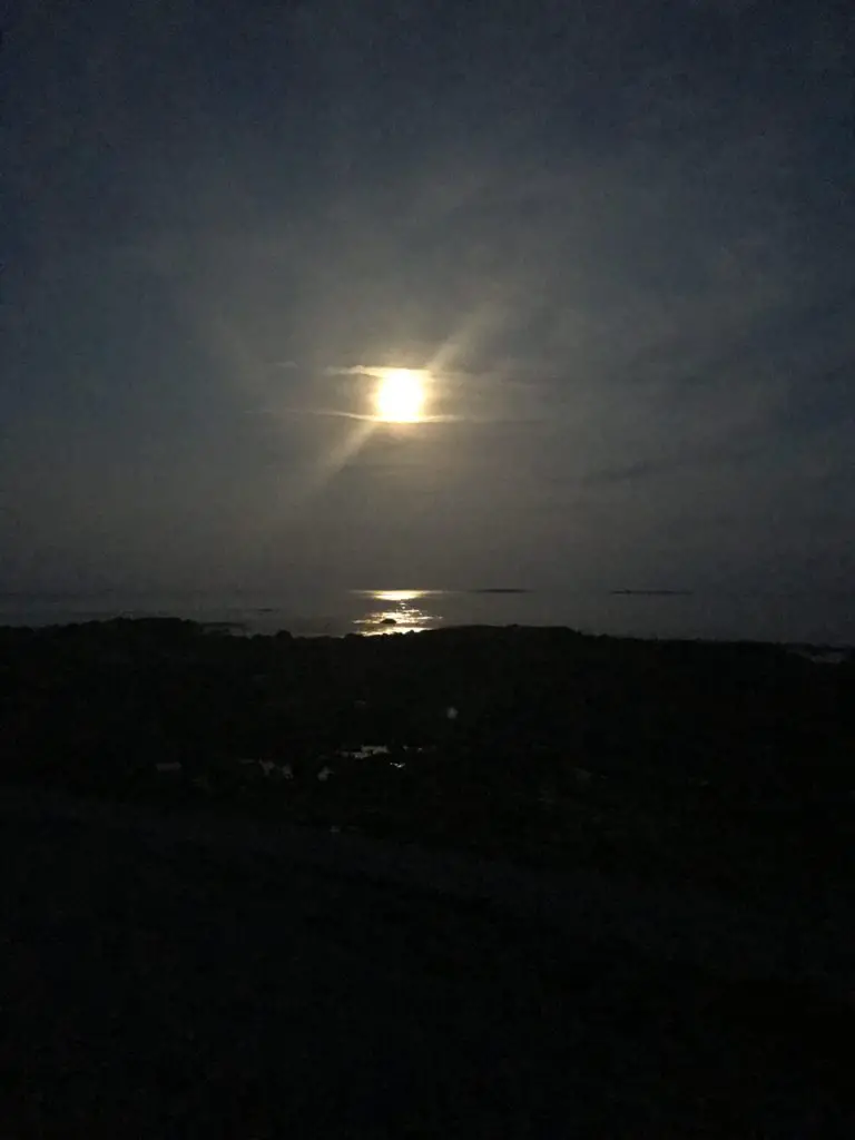
The parking area for the salt marsh, near Seawall: We saw a GORGEOUS sunset here, over the salt marsh, to the west. The setting sun outlined thunderheads far in the distance. This site makes for a fine place to watch the moonrise over the ocean to the east (or the sunrise, if you’re an early bird). Based on the activities of other visitors that we saw there, this is also a prime spot for clamming during low-tide. No matter the reason you’re stopping here to visit, be sure to bring the mosquito spray! This site is found on the southeast corner of the western, “Quiet Side” of the island.
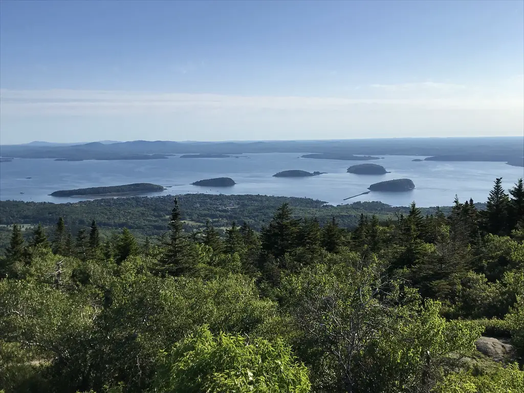
Cadillac Mountain: This is the highest point on the island and in the park. On clear days, it allows for FANTASTIC views of the nearby mountains, and, of course, the Atlantic Ocean and the islands that dot its bays. Sunrise is the busiest time to visit this locale, though the Blue Hill Overlook, found shortly before you reach the summit, would make for a fine place to view the sunset as it faces west. This site can be reached off the Park Loop Road on the eastern half of the island.
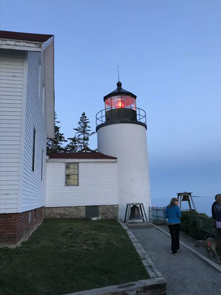
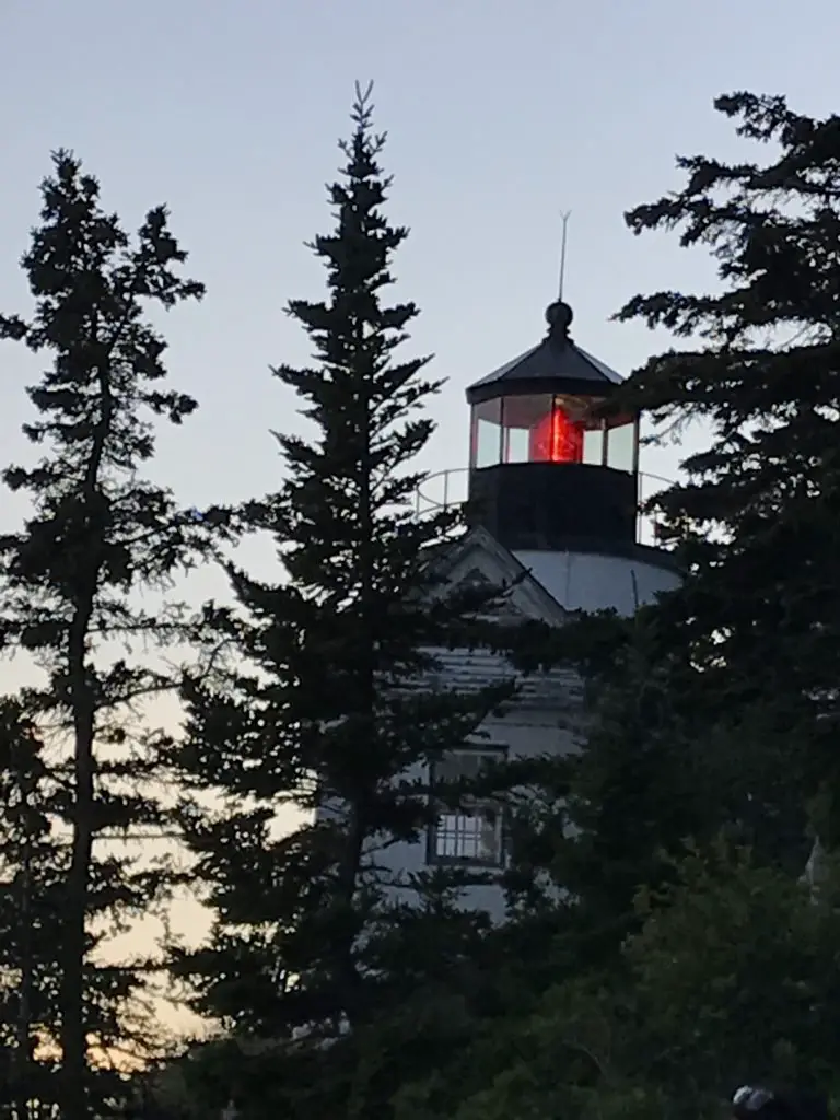
Bass Harbor Lighthouse: It’s difficult to really see the sunset from here as it faces roughly south and there are hills that block your view to the west. However, the way the setting sun makes the sky glow, and the way that frames the lighthouse against the rocky shoreline is quite lovely. This site is found on the southern tip of the “Quiet Side” of the island, south of Southwest Harbor.
Acadia’s Lighthouses
With it’s unique location directly on the coast of Maine, Acadia offers many cool lighthouses to visit!
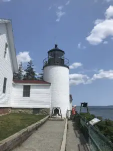
Bass Harbor Lighthouse: This is the only lighthouse in Acadia that can be easily reached and viewed by car. It’s also a regularly photographed spot (for good reason.) It’s manned by the Coast Guard now, so you can’t actually go up it, but you can walk to its base. There is a short, hiking trail that leads to the rocks on the light’s opposite side, that is nice as well–this is also the viewpoint for sunrise/sunset!
Bear Island Lighthouse: This is one of the only other lighthouses near Acadia that can be viewed from shore/by car, and it takes work. We ended up with a bit of a quest to find it, but we managed, eventually!
Based on the light’s location on the map, we knew it should be visible from the shore. So, for several evenings, we drove around trying to catch a glimpse of it. Alas, all those pesky trees that grow on the East Coast (and some of the privately-owned, residential land) made it difficult. 😉 We DID finally find it though (without trespassing I might add 😉).
**If you’d like to set out on your own quest to search for it yourself, be my guest. If, however, you’d like directions on how to find it, scroll to the bottom of this post and I’ll leave them there.**
If you visit Acadia National Park and enjoy lighthouses as we do, I highly recommend taking a lighthouse boat tour. Almost all of the structures reside on nearby islands, and some are open for touring, at certain times of the year. I didn’t realize just how many islands are included within the park’s boundaries (and scattered around the nearby waterways). This means many of the lights can really only be viewed from the water.
Hiking Trails around Acadia:
There are numerous hikes available at Acadia, ranging from short to lengthy and easy to difficult. Below are the ones we enjoyed:
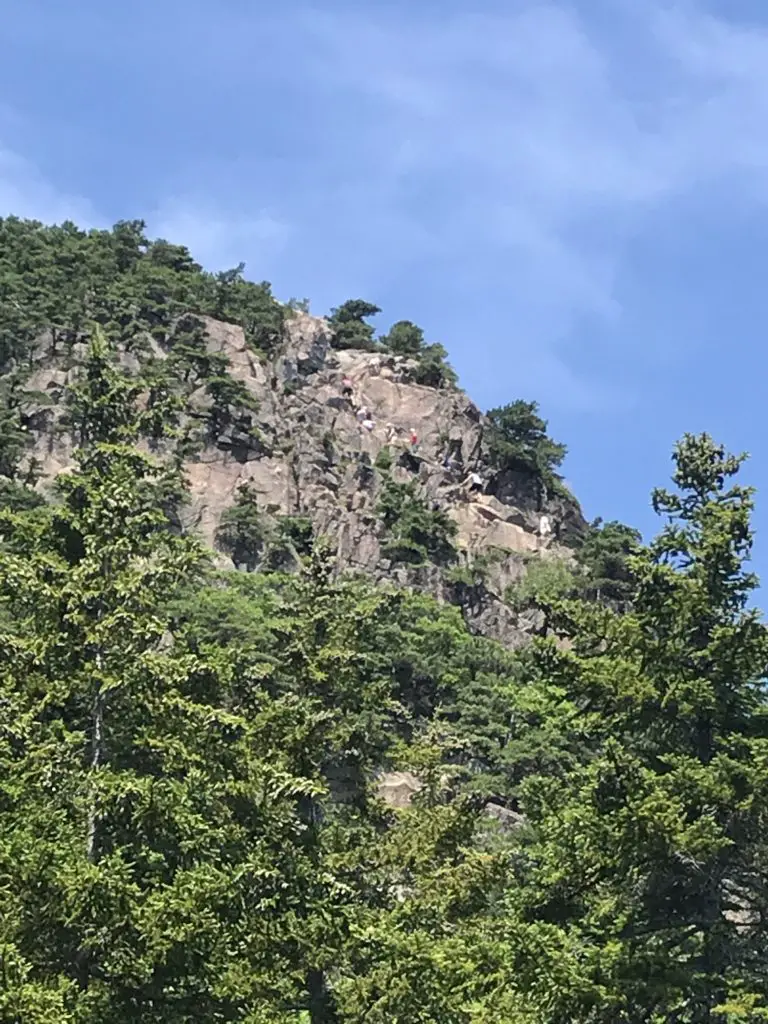
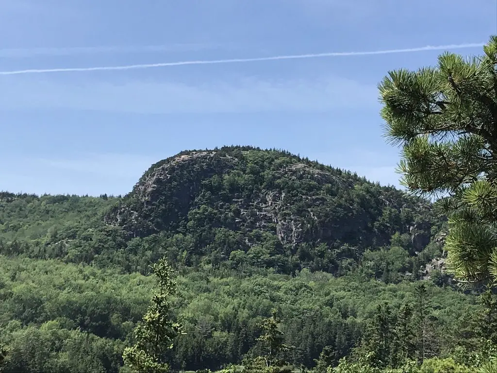
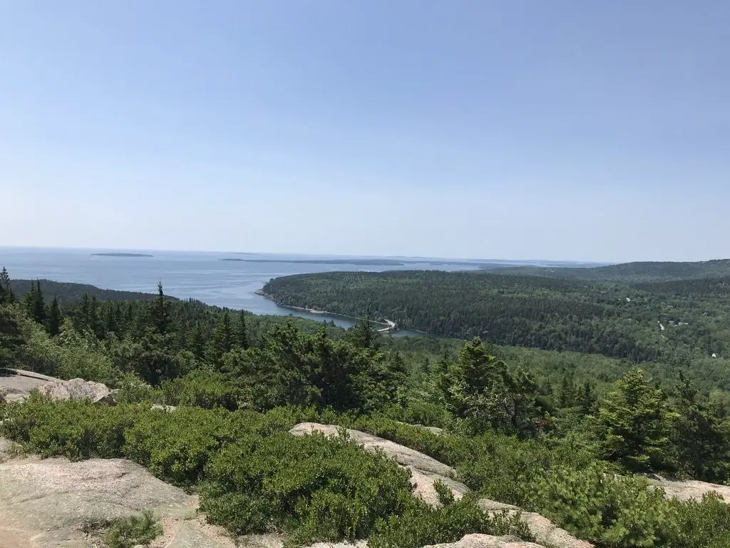
The Beehive/Bowl/Gorham Mountain Trails: The Beehive Trail is an AWESOME hike! This was on my “must-do” list while visiting Acadia. This trail is the little brother to the infamous “Precipice Trail”. Now THAT ONE looks scary. It was actually closed when we were there (and is for much of each summer) due to it being a nesting area for peregrine falcons.
We knew this going in, and I was fine with it. I don’t know that my fear of heights would allow me to complete this scramble up the side of a mountain.
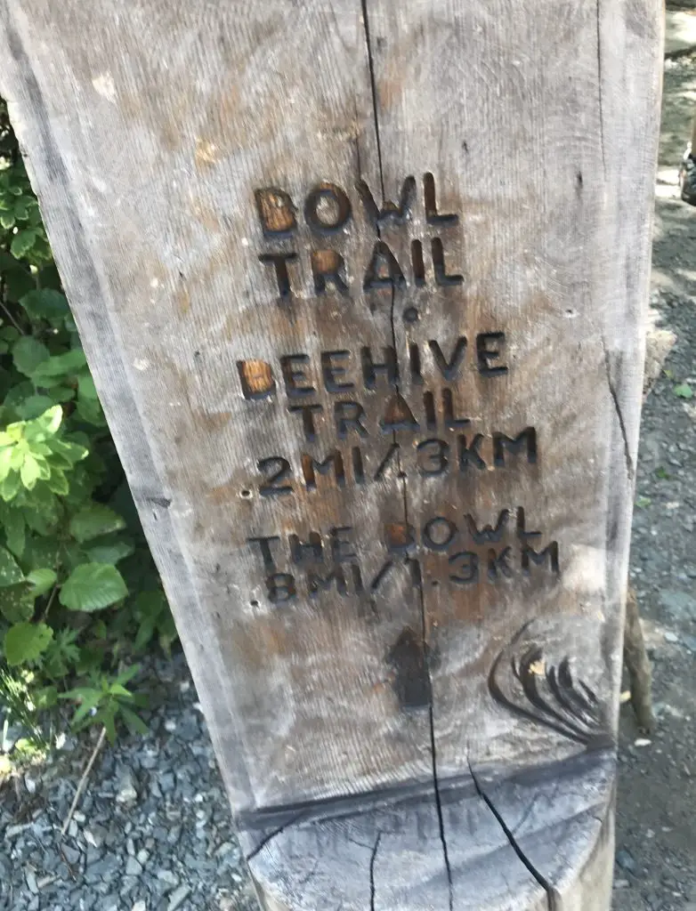
All of these trailheads can be accessed via the Park Loop Road on the eastern side of Mount Desert Island, south of Bar Harbor.
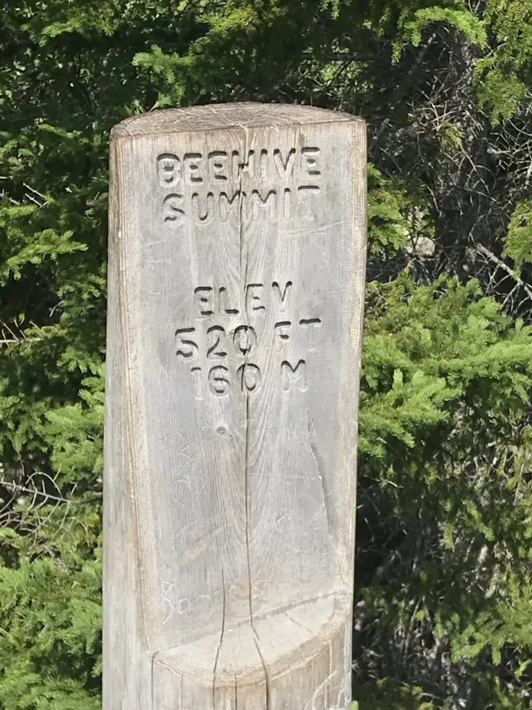
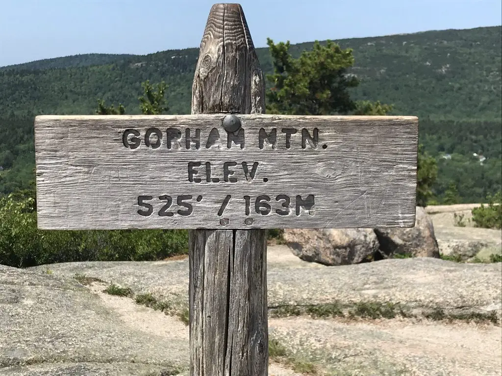
We also combined the Bowl and Gorham Mountain Trails into this hike, as they all connect. We had intended to make a loop of it by including the Cadillac Cliffs Path, and then take the Ocean Path back to the parking area, but I was starting to have my usual struggles with the heat, so we cut it a bit short.
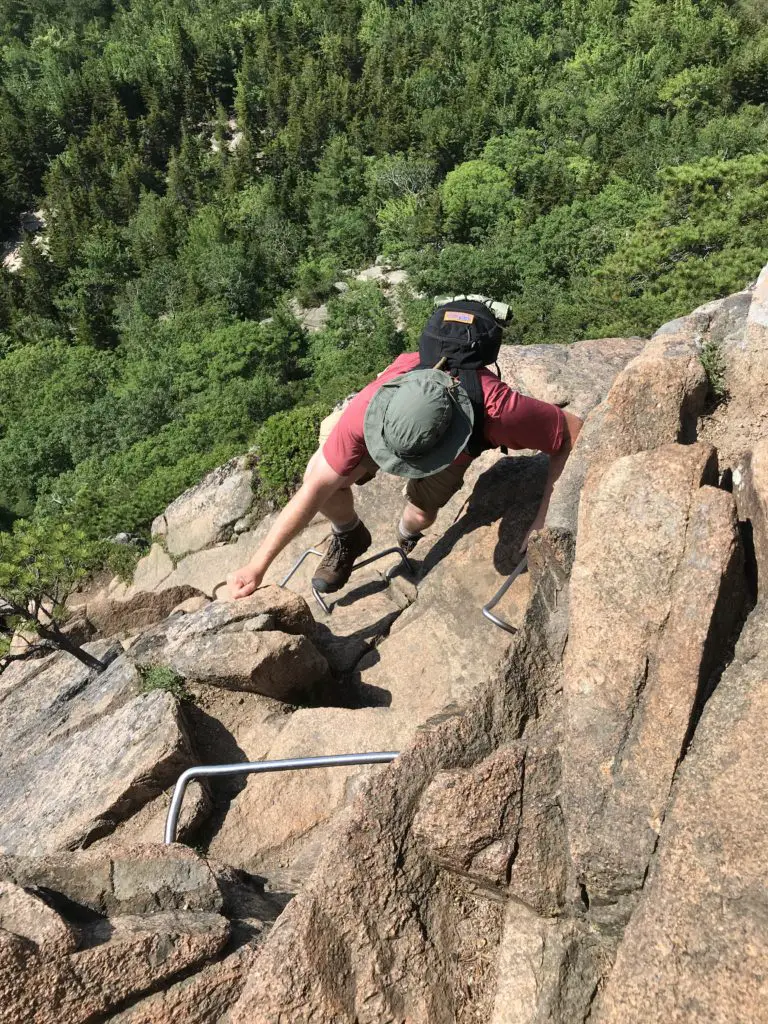
All of these trails were of moderate length. The Bowl and Gorham Mountain Trails were moderately strenuous. The Beehive Trail was quite strenuous (though mercifully short) as you basically scramble up the side of the mountain, free-climbing over boulders and using iron rungs that have been strategically placed throughout the route.
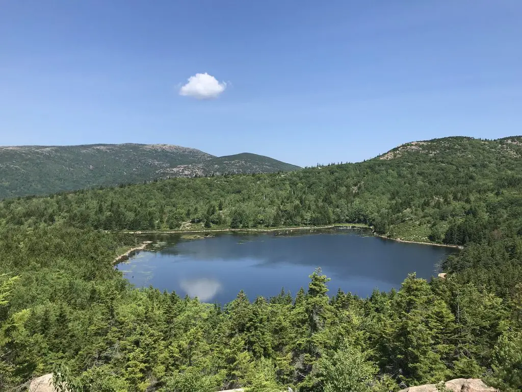
The picture below looks pretty terrifying, but it actually wasn’t that bad. Trust me, I don’t like heights, but there was only one brief moment when I became uncomfortable (and it can be crossed in just a few steps). The views from the top are INCREDIBLE though, and make the trek worth it! If you’re hot, you can loop around and take a dip in the refreshing Bowl in the valley below!
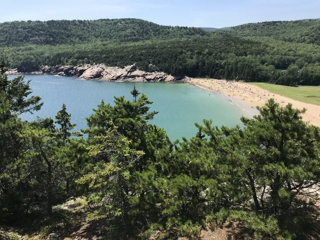
Great Head Trail: Because we chose to cut the above route short, we were able to enjoy a good portion of this trail that is found in the forest, just to the west of Sand Beach. Sand Beach can be reached from the same parking area as the Beehive/Bowl trailheads. This was really convenient as we were able to park the car once and hike for most of the day (just make sure to get there early!)
Wonderland Trail and Ship Harbor Trail:
The Wonderland and Ship Harbor Trails are accessed via Route 102A, on the western side of the island, south of Southwest Harbor.
These hikes were short, easy and VERY enjoyable. Due to their location on “the Quiet Side” of the island, they were much less busy than other areas of the park.
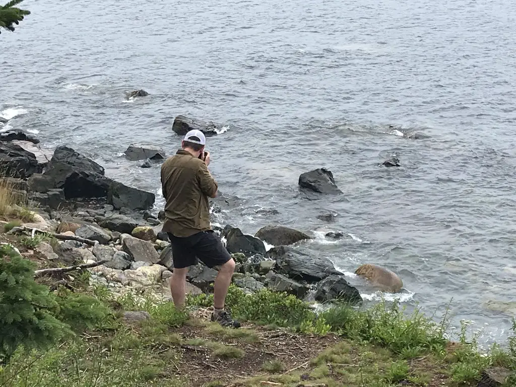
Mr. Trekker thought the photography opportunities they offered were comparable to ones we found in many of the more well-traveled sections of the park, as well.
These routes take you down to the shore where you can walk the rocks and view the organisms living in the tide pools (at low tide).
Other Fun Things to do at Acadia National Park:
Thunder Hole: So this place is pretty awesome…when the winds and tide are strong. When the conditions are right…the wind forces the waves into a small cave on the shore, which then, in turn, forces air out of the cave creating a crashing sound that reverberates off the nearby rocks!
Click here to see its full potential! (Take note, when we visited this site we were standing on the walkway you see at the bottom of the video, and others were standing on the rocks at the top of the frame. 😮–the trail is closed during this type of bad weather.)
When conditions aren’t right…it’s still cool, but not quite the draw it could be. Fortunately, we were blessed with pretty nice weather throughout our trip. Unfortunately, nice weather doesn’t bode well to experience the full effect of this location. When we were there it was more like “gurgle hole”. 😂
Carriage Roads: This is another activity I’d put on our “must-do” list if we return to the park in the future. These gravel roads snake throughout the forests of the interior of the island. Bike rentals are available, though you still need to figure out how to get the bike to the trails. (I’d recommend bringing your own. We considered it, but decided not to drag our bikes on a 5000+ mile road trip for one day of biking. 😛)
These trails were used by the Rockefeller family for their carriages when they owned the land–hence their name. There are also some carriage rides still available through the stables on the island, where your carriage is pulled by beautiful draft horses!
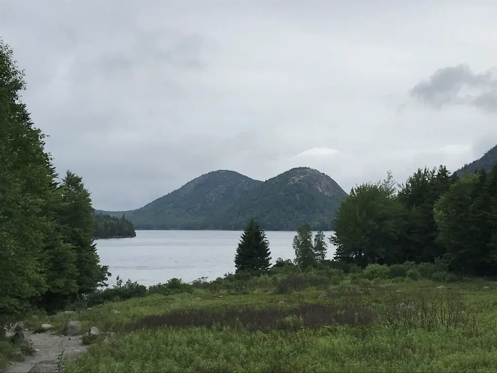
Jordan Pond/”The Bubbles”: As I mentioned in a previous post, Jordan Pond is again a place where they use the word “pond” when “lake” would make a much better descriptor. 😂 Several carriage roads start from here. There’s also a restaurant and store in the historic building that was the original farmhouse built on this site.
There is a decent hiking trail that circles the lake. We only did a portion of it (the easy part that was on a boardwalk). The other half appeared to be more rugged. I don’t think it had much elevation gain, just a lot of rocks to clamber over.
We met a lady later in the day, who had actually slipped off some rocks on the harder section and fell in the lake 😮 (she was fine).
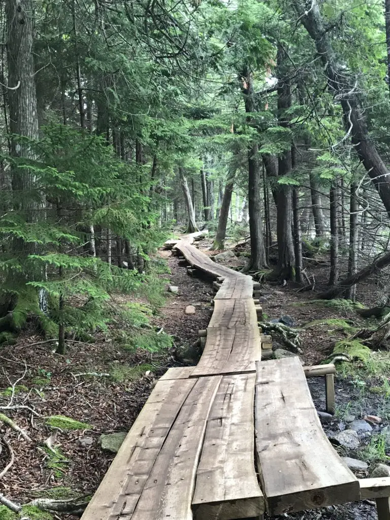
The boardwalk portion is basically completely flat and offers fine views of the lake, the nearby building and “The Bubbles”–I’m not sure who gave this name to these twin mountains. They looked like something more PG-13 rated to me but…to each their own. 😱
Cadillac Mountain: We actually chose NOT to hike Cadillac Mountain on this trip. This was for several reasons:
–We only had a few days at Acadia and we can hike mountains whenever we want, but we CAN’T visit the beach too often. So, we chose to spend most of our time there.
–Also, aspiring hikers should be aware that much of Cadillac Mountain trail has little shade, so it can be quite hot in the summer months. (This was another reason we chose to skip it, as heat and I don’t get along. 😝)
We did make the easy drive to the summit on multiple occasions. Sunrise is a busy time here, for obvious reasons, so if you’re choosing to go then I suggest you plan to leave early. It’s beautiful at any time of day though, so long as the weather is clear.
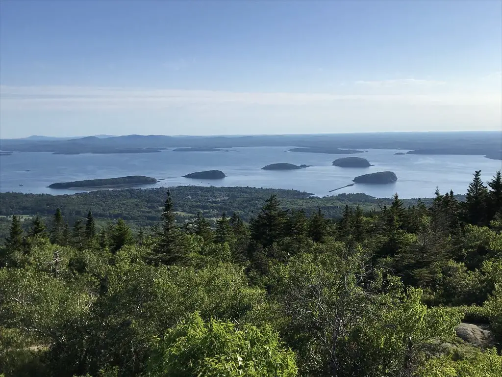
The Park Loop Road: This road basically “loops” around the outer boundaries of the park (hence the name). It features numerous pull offs where scenic views can be enjoyed, as well as plenty of recreational sites. There are several picturesque bridges along its length that reminded us of the ones we saw in Virginia on the Blue Ridge Parkway.
Wildlife: We were told there are bears and moose on the Schoodic Peninsula portion of the park, on the mainland. Other than that, the majority of exotic wildlife that Acadia offers is sea life. (This would have been a cool sight as we don’t usually see these types of critters at the landlocked national parks we frequent in the Western US!)
We didn’t see many sea creatures, but this is likely due to the fact that we didn’t venture out on the water. There are whale watch tours that depart from near the park. I’ve also heard stories of people who go on sea kayaking tours where seals and dolphins are known to come close and curiously inspect the watercraft.
As we only had a few days here, we chose not to do these, but if we return for a future visit, they’ll definitely be on our “to-do” list. If you visit the park, I would encourage you to seek these out as you may see some unique wildlife not always available at other parks.
LOBSTER!!!
I got to enjoy my first lobster on this trip (and my first New England lobster roll!) I liked it!
I got a “classic” roll, with the lobster already shelled for you and warmed with butter, on a buttered, toasted roll. It was easy and delicious! After watching many of our seat-mates struggling to crack through the shells of their dinner, I was happy to go the easy route.
We enjoyed our meal at Beal’s Lobster Pier in Southwest Harbor. This place is NOT fancy (and I mean that in a good way). It was the PERFECT place for us to enjoy our first lobster experience, though.
It’s basically a walk-up counter, and then your number is called and you get your food. You enjoy it outside, or on a screened-in porch, all on picnic tables. We absolutely LOVED it!
If you’re looking for something more up-scale, there’s plenty of options for those as well, but the Trekkers are a casual bunch. 😛

We really enjoyed this trip! Our goal was to travel as few interstates as possible once we reached “northern New England”, and we felt like we were fairly successful at that.
I’ve mentioned before how much I enjoy taking the slower backroads (and by this, I mean anything from two-lane, US highways to dirt, county and forest roads). We’re already planning another trip to that area in the next few years, to more fully explore the Adirondacks and Finger Lakes regions of New York, as well as more of Vermont and New Hampshire. On that trip, we’ll map out “backroads” more before we go, with the goal being to avoid interstates as much as possible once we reach New York!
I hope you enjoyed my review of Acadia. It definitely has some unique characteristics as far as national parks are concerned. We enjoyed visiting it, and would certainly consider another trip. While we love living in the Black Hills, we both miss easier access to the ocean (especially Mr. Trekker). Neither of us is really a “beach bum”, but exploring the rugged, rocky shores of Maine is right up our alley!
A few more pics from the trip:

**SPOILER ALERT!!!**
OK, if you want to know how to find the Bear Island lighthouse, you can spot it, flashing at night, from a public parking lot off of Norwood Road, east of Southwest Harbor. Good luck on your quest! I don’t actually know if it’s visible from there in the daylight, we didn’t get over there at that time of day. If anyone knows of other places to view the lighthouse from public land, let me know in the comments!
Did you enjoy this post? Pin it!
Like what you read here today? Please feel free to leave a comment, like or share this post! Add your email at the bottom of the page, or the sidebar to the right, to be notified when a new post is published. By signing up for the email list, you will also receive a free copy of the Tranquil Trekker’s Top 10 Tips of Trekking Do’s and Don’ts!
You can also follow the blog on social media by clicking the links below!
Another true “Quiet Side” of Acadia is the Schoodic Peninsula of Acadia. We camped there for years when our kids were little and loved this part of Acadia NP. Amazing natural beauty and downeast charm.
That’s definitely true. We didn’t have time to get to that area but it’s on our list for the next time we visit. I’ve heard it’s beautiful! Thanks for commenting!
I will forever be a New Englander, but I have only visited Acadia in the summer. While I loved being on the ocean, I don’t think I would ever do summer there again. It’s just too busy! You make a good point about the quiet side, though. Maybe that’s a solution I should think about. What I would really love to do is visit Acadia in the winter. The carriage roads are all great for cross-country skiing (so I hear) and dogs are allowed on them too.
Also, I love your little Airbnb. It’s so cute!
I’d love to do Acadia in the winter, preferably as a Nor’easter is moving in so we can see Thunder Hole in all its glory! 😉
The tiny house was cute, but it was definitely tiny! 😝
I agree about Acadia feeling different than the parks out west. We rented a cottage on a few acres with its own waterfront to get a more secluded feel. Bar Harbor is a cool town though, and Acadia is beautiful, especially in the fall! I loved seeing the Bass Harbor lighthouse too.
I’d love to visit in the off-season and see Thunder Hole when a Nor’easter is blowing in!