
**Author’s note: Just a word of warning, as this is a federal, National Monument, no dogs are allowed on any trails (exceptions for Service Animals). They are only permitted in the campgrounds and parking lots.**
The Trekkers spent our 15th wedding anniversary trip in Grand Junction, Colorado hanging out at the Colorado National Monument! Funnily enough, for our 10 year anniversary we had visited Dinosaur National Monument which sits about two hours to the north. You can read about that adventure here and here.
Grand Junction/the Grand Valley:
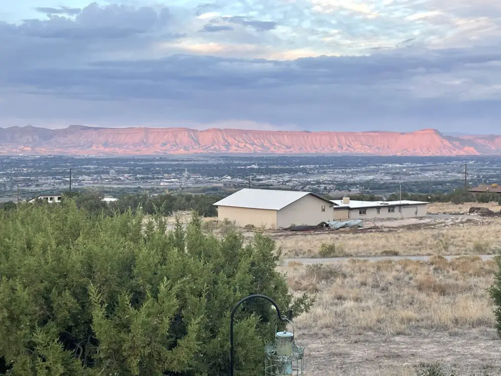
The Colorado National Monument is found in the Grand Valley, which is located in far, western Colorado, only about 30 miles from the border with Utah. The Grand Valley is comprised of a number of small towns including Fruita, Palisade, and the much larger city of Grand Junction. This is the true, drier, more desert-like, western slope of the Rocky Mountain state.
While Grand Junction proper is smaller than Rapid City, the entire Grand Valley area is actually larger than Rapid so the end result was it felt busier/more crowded driving through town.
The streets in Grand Junction are hella weird! I’ve never experienced anything like it! You may have 25 1/2 street or 35 3/4. We even saw a 7/8 street once! What the heck does that even mean?! How do you have 7/8 of a street?! I was SO CONFUSED! 🥴
Hiking at Colorado National Monument:
There are a number of awesome hiking trails throughout Colorado National Monument. Many are short and relatively easy day hikes while others are lengthy and challenging hikes through some of the canyons. The few we enjoyed are outlined below:
Please note there is basically NO SHADE on most of the trails throughout the Monument. Also, you ARE in Colorado so even the “easier” trails sit at around one mile in elevation.
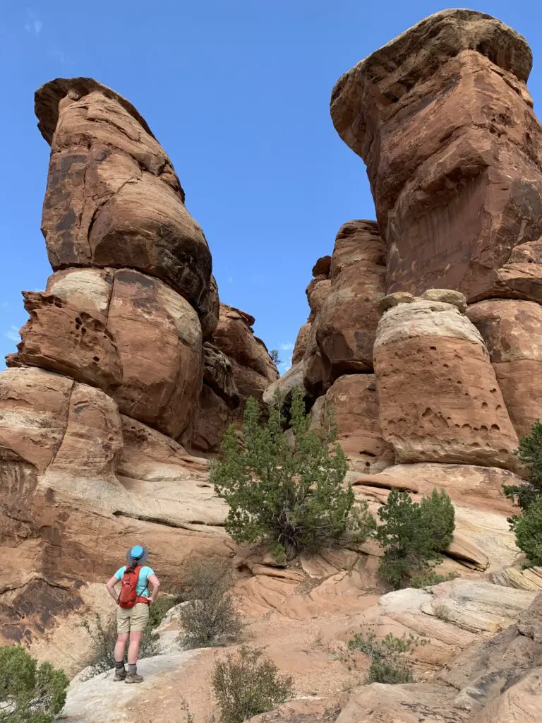
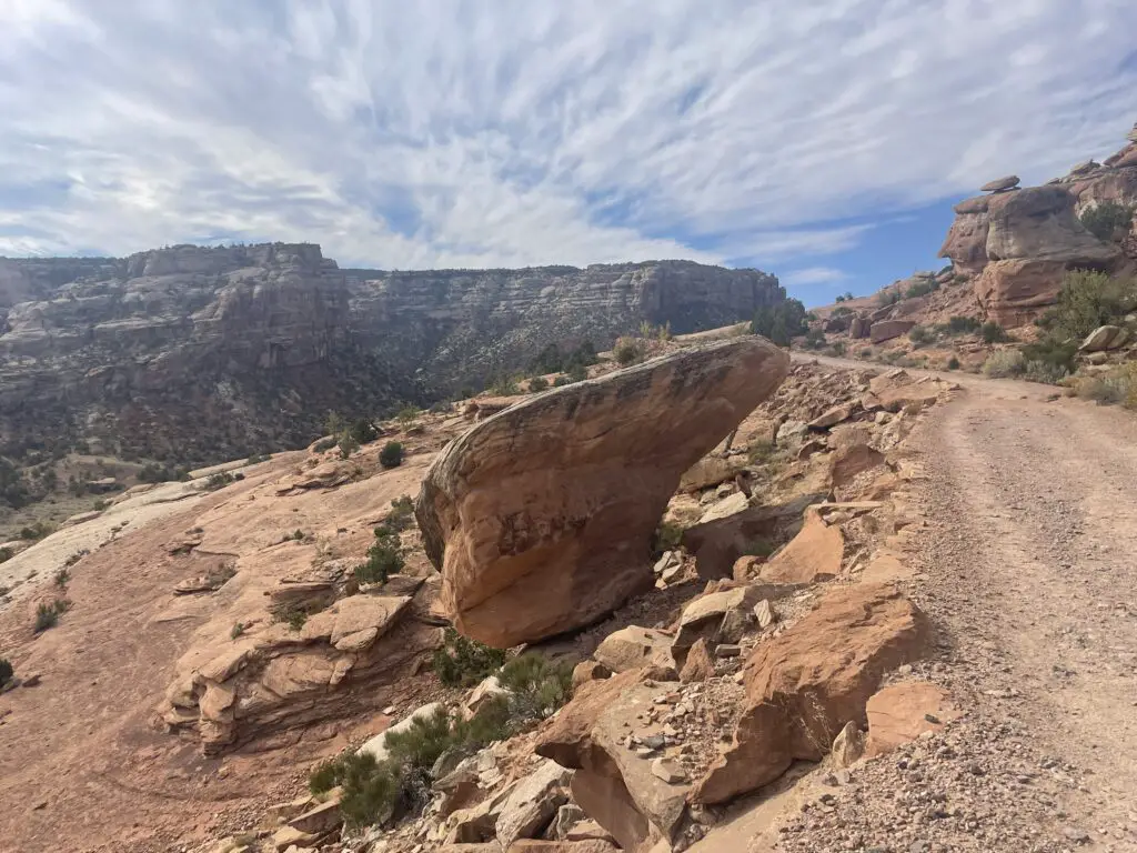
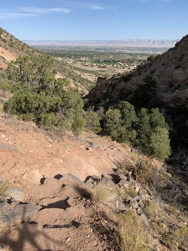
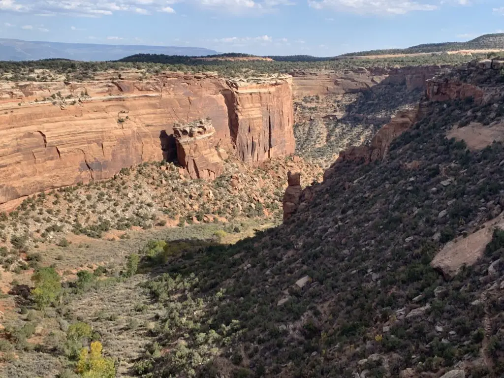
Devils Kitchen:
The Devils Kitchen trailhead is the first one you come to when you enter the park on Monument Road (from the Grand Junction side). It is less than a mile in each direction and is a simple, out and back hike.
It is fairly well-marked and largely flat as it traverses a canyon floor. Shortly before you reach the actual rock formations there is some scrambling required and the signage isn’t great. Basically just keep aiming for the rocks like what are shown in the picture below (there really isn’t anywhere else to go. 😊)
Devils Kitchen is basically just a small, rock circle made of rock spires. It’s pretty and pretty cool! This trail is family friendly for anyone who can handle basic walking/hiking and a little clambering. This is definitely a great trail for kids who want to scramble!

Serpents Trail:
Assuming you can find parking, you can do the Serpents Trail and Devils Kitchen the same day. The trailheads are directly across the road from each other–there is also a nice picnic area to enjoy here!
The Serpents Trail is about two miles one-way. It does connect with Monument Road again about three miles further down the road.
Serpents Trail was the original, dirt road that brought visitors into the Monument. It is now closed to vehicles and serves only as a hiking trail. It gets it’s name from the many switchbacks that the trail uses to “snake” it’s way up the side of the hill.
This trail is not overly difficult as you’re basically just walking on a gravel road. Depending on which direction you choose you will often be walking “up” the entire route.
Liberty Cap (the short–difficult–way!) with return on Corkscrew Trail:
This trail is on plenty of maps but it’s a little confusing to reach. To make it easier I’m going to quote the directions from the park website to reach the trailhead from the eastern side of the park–you can find this info on the Monument’s website here. (Note: this trailhead takes you to the quick, difficult, pretty portion of the trail! It begins near the Grand Junction entrance.)
“From the east entrance, proceed north on Monument Road 0.6 miles (1.0 km); turn left on South Camp Road; drive 2.6 miles (4.2 km) to its junction with South Broadway; turn left and go 0.5 miles (0.8 km); turn left onto Wildwood Drive and go 0.5 miles (0.8 km). Watch closely for a brown trailhead sign on the right at what appears to be a driveway; turn down this road to the trailhead…”
This trail made for a great loop! There are many different options to complete this trail section:
–Liberty Cap up, Corkscrew down
–Corkscrew up, Liberty Cap down
–Just take one of these two trails both up and down
We opted to take Liberty Cap up and Corkscrew down, partially because we hadn’t seen the Corkscrew trail yet, partially because we like loops and not returning the same way we started (already saw that part of the trail!) and also because Corkscrew is listed as “moderate” on the trail map while Liberty Cap is listed as “difficult”. Due to this, we figured Corkscrew would be less steep for the descent–we were right and I would agree with these difficulty designations.
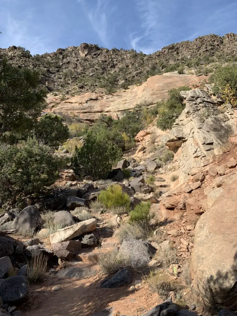
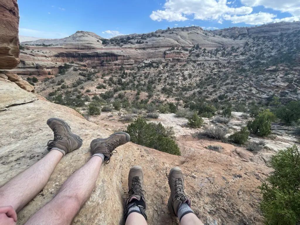
This is actually a lengthy trail if you do the whole thing. If you want to access the other trailhead it can be found on the western side of the park about halfway along Rim Rock drive. The majority of that route from the west is fairly easy and traverses a canyon within the central part of the Monument. The fun part then comes at the very end of the trail. (This is the beginning of the trail if you start where we did from the trailhead on the eastern side of the park near Grand Junction). If you want to hike it the way we did, the actual route is fairly short though you gain over 2000 feet in elevation in less than three miles! (it’s steep folks…but VERY fun!)
I wouldn’t recommend taking Corkscrew up because it’s a lengthy slog through soul-crushing switchbacks with NO SHADE. There is also a lot of black rock on this portion of the trail that will absorb/radiate the sun’s heat on hot days–and there are a lot of hot, sunny days in Grand Junction!
I also wouldn’t recommend taking Liberty Cap down if the trail is at all wet/snowy/icy/slippy-in-any-way. Not that it can’t be done, but there are a number of steep sections where you may end up crab-crawling your way down on a good day. In wet/slippy conditions this could become dangerous very quickly.
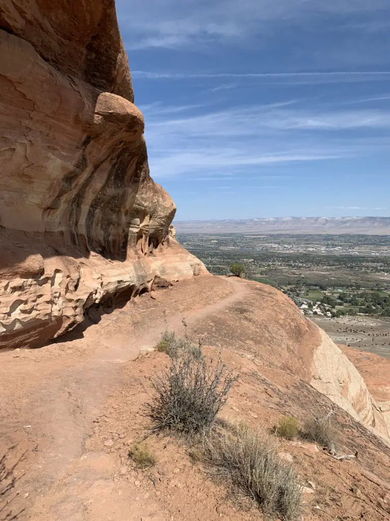
Please note: along with being steep this trail includes a number of steep drop-offs. My acrophobia was definitely triggered (but I made it!–and the view at the top is ABSOLUTELY worth it!)
This trail was especially momentous for me as it just so happened we hiked it exactly 10 months to the day after I had major abdominal surgery! It was completely reasonable that I had recovered enough to complete this hike in that amount of time. However, knowing where I was 10 months ago–when I needed hard-core, pain meds just to be comfortable enough to get out of bed to walk to the bathroom–and here, 10 months later, I was able to scramble on all fours; stretch, bend, twist and even crab-crawl my way down steep sections of trail and feel AMAZING doing it–this was such a feeling of accomplishment!
Also, not having any pain, heartburn or needing to desperately pee on the trail for the first time in years 🤣 (especially hiking a trail this difficult) reminded me of the new lease on life I had now that surgery was behind me! Turns out my doctors’ promises were right, I really am a new woman! 😁
Colorado is one of my favorite places to visit. Click here for more posts on this awesome state!
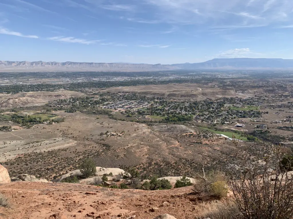
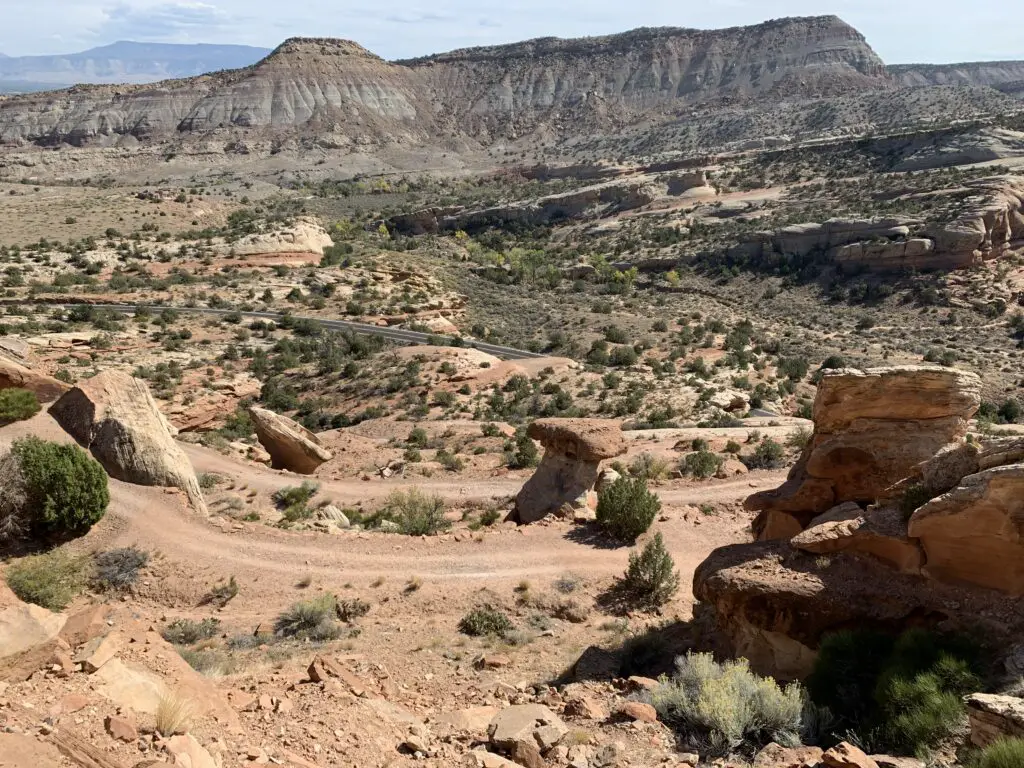
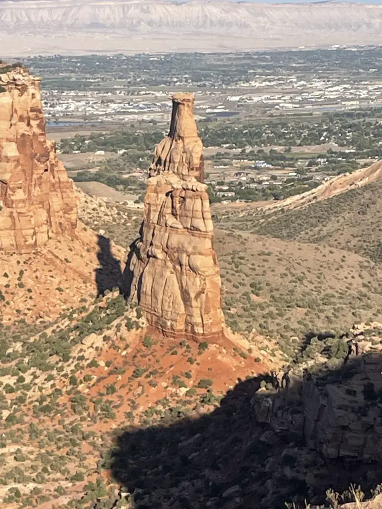
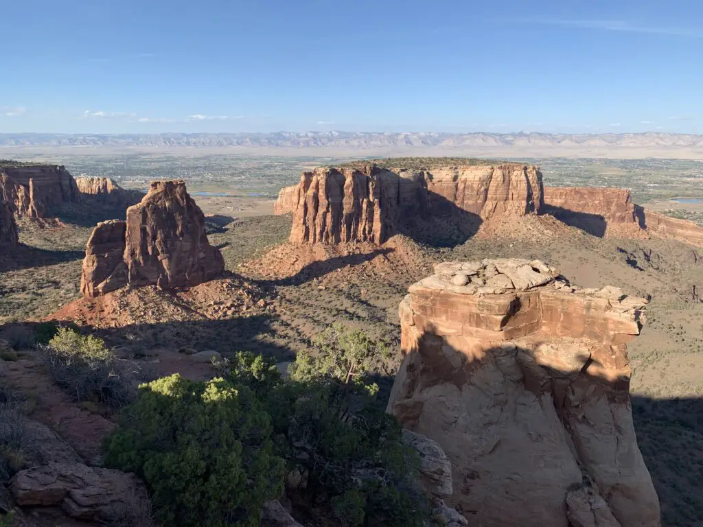
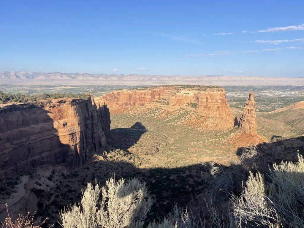
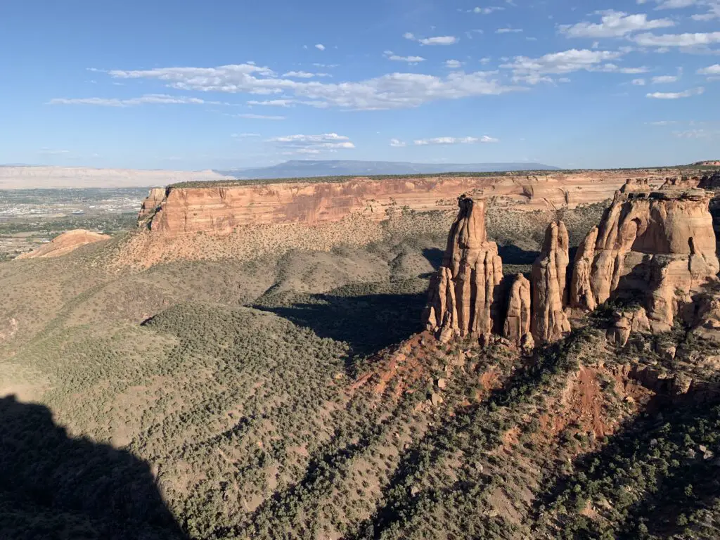
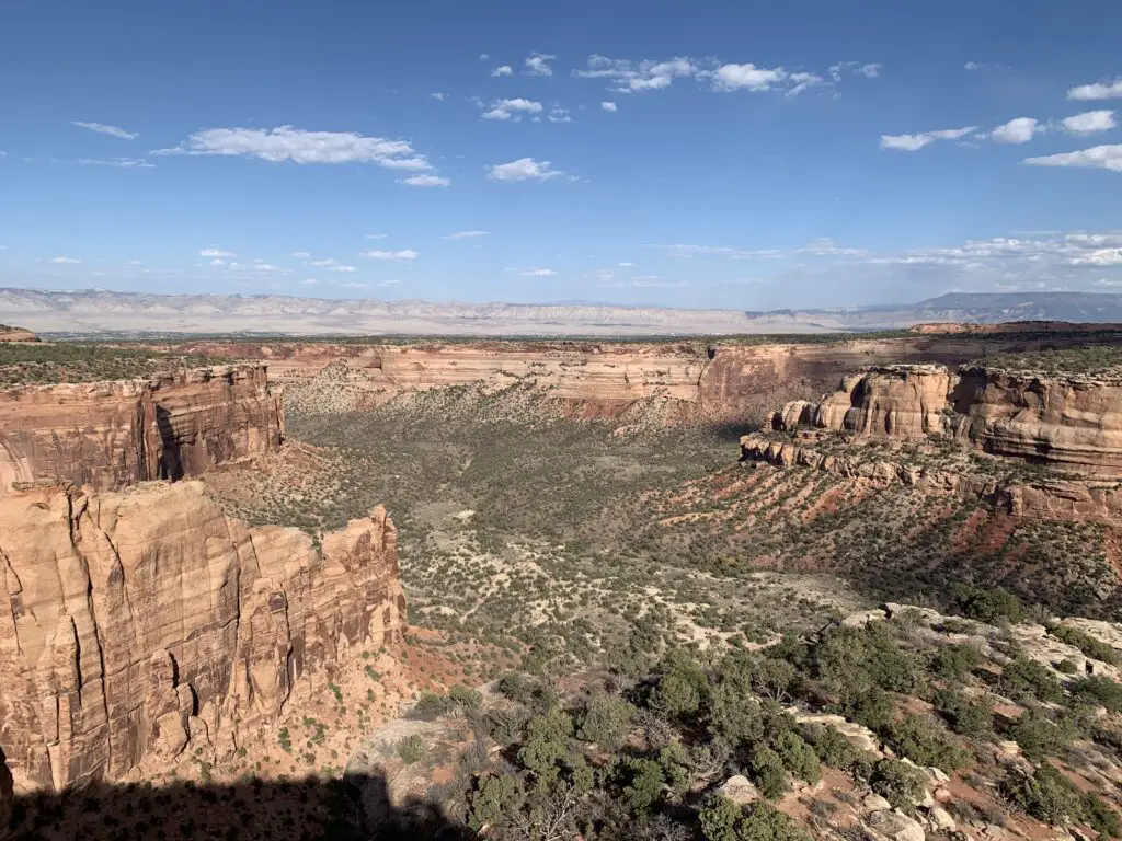
Rimrock Drive:
Rimrock drive is the main road through the park. It’s paved and an easy drive throughout. It offers INCREDIBLE views of the canyons/rock formations that make up the park. Numerous pull-offs are spread along the length of the route and there is a Visitor Center near the west entrance (the Fruita side). Numerous opportunities for hiking are also available off the road. The park also offers some camping options.
 The road Broadway runs through several of the towns in Grand Valley and connects the two ends of Rimrock Drive between Fruita and Grand Junction. This road, along with the Rimrock route, make for a great loop drive!
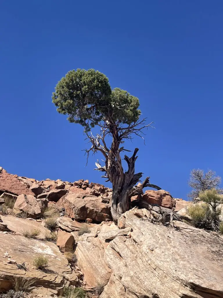
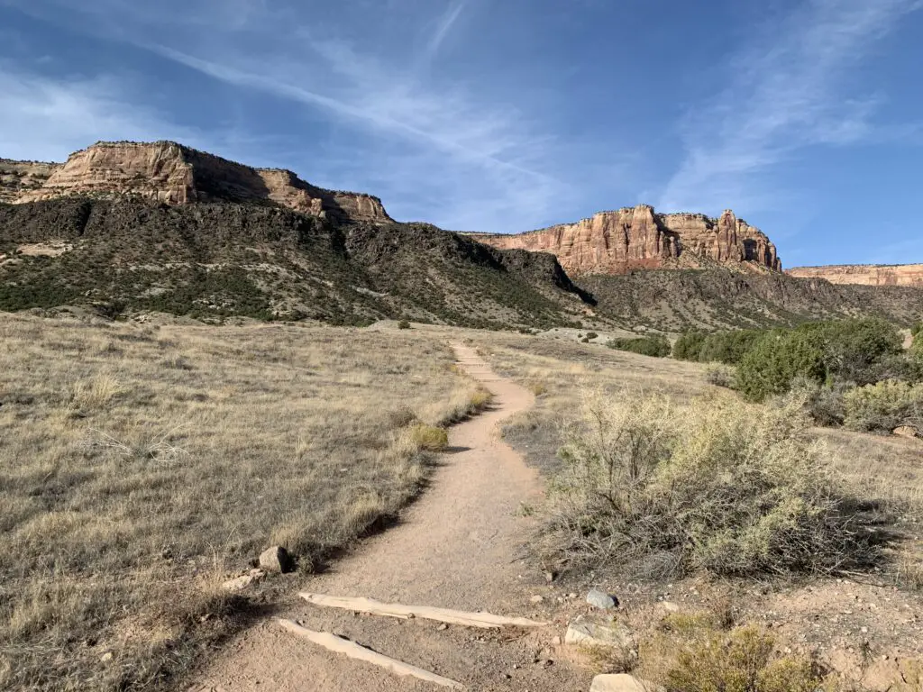
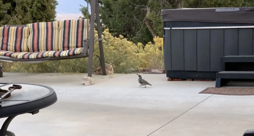
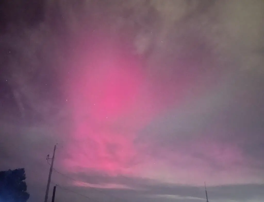
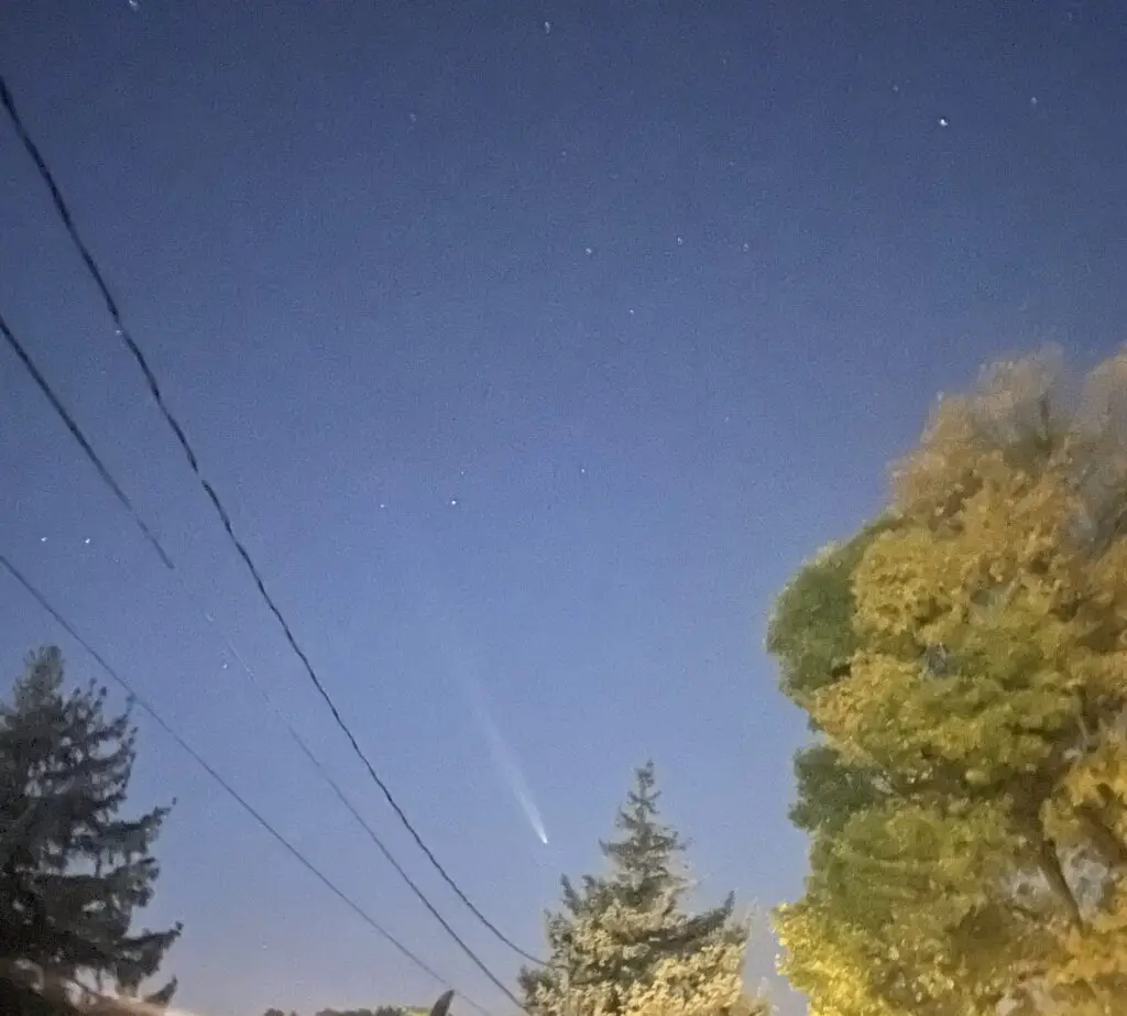
Some other pics from our trip!
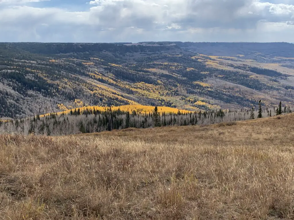
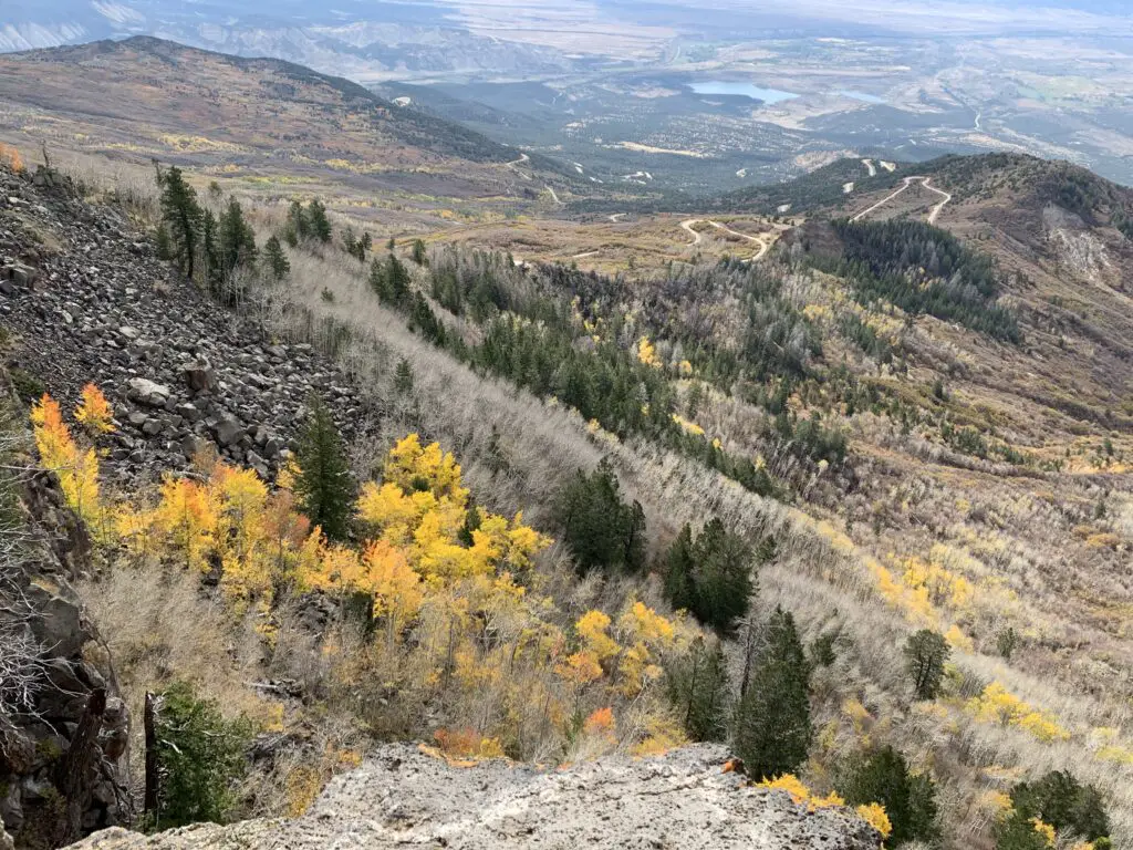
We first visited Grand Mesa on our Southwestern Road Trip in 2017–we couldn’t do much because I was recovering from a TERRIBLE flu that I had caught on the trip and it was still so early in the summer much of the park had snow. Then we returned in summer of 2018 for our Colorado Road Trip and were able to enjoy a lot more hiking. It was fun to come back in fall of 2024 and see it again in a different season and from another perspective!
If you’re looking for a fun and beautiful place to visit, check out the Colorado National Monument on Colorado’s Western Slope!
Have you visited the Colorado National Monument? Tell me about your experience in the comments!
Did you enjoy this post? Pin it!
Like what you read here today? Please feel free to leave a comment, like, or share this post! Add your email at the bottom of the page, or the sidebar to the right, to be notified when a new post is published. By signing up for the email list, you will also receive a free copy of the Tranquil Trekker’s Top 10 Tips of Trekking Do’s and Don’ts!