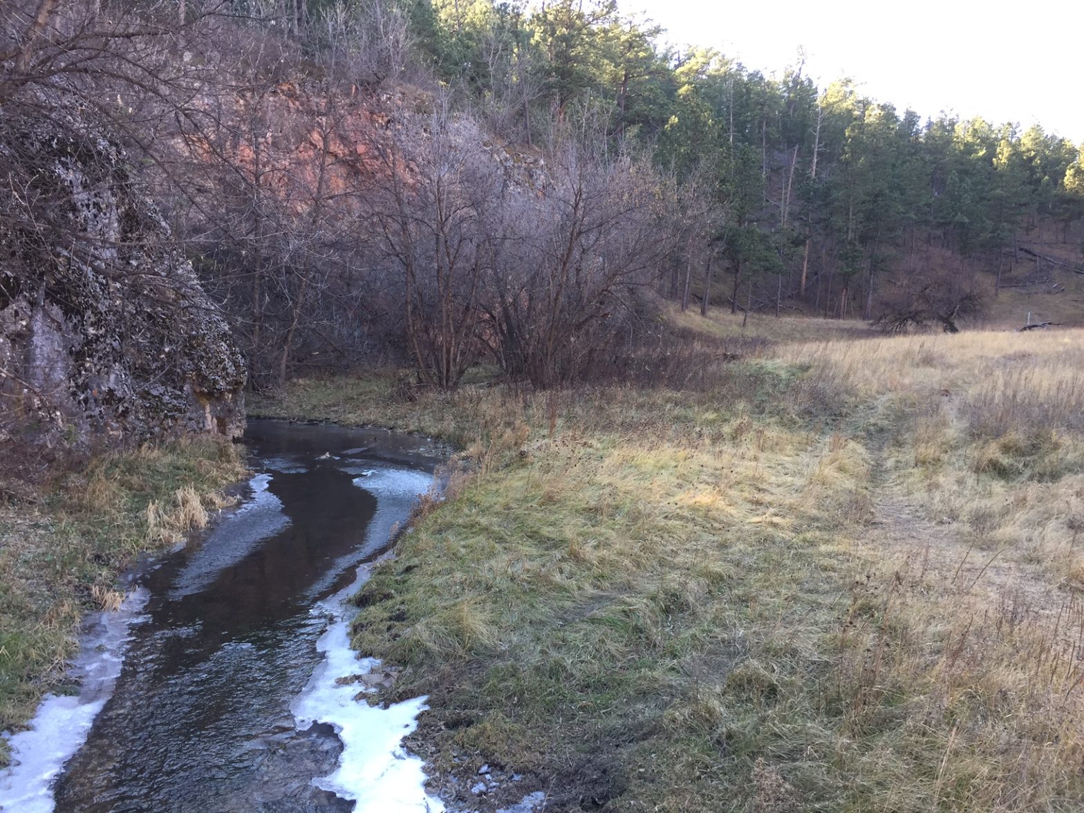
**Author’s note: Just a word of warning, as this is a National Park, no dogs are allowed on any trails (exceptions for Service Animals). They are only permitted in the campgrounds and parking lots.**
Wind Cave National Park, located near Hot Springs, South Dakota, is best known for the sites it offers below-ground. However, it also provides plenty of opportunities for hiking above-ground, as well!
Hiking trails at Wind Cave National Park
There are several trails found throughout Wind Cave National Park and countless route combinations and loops can be made depending on how long of a hike you are interested in. These include the Rankin Ridge Trail, and one of our favorites, a loop formed by the Lookout Point Trail.
It includes a short skirt where the Sanctuary/Centennial Trails run together and then continues on to the final portion of the hike which is solely comprised of the Centennial Trail. This is all located in the southern portion of the park.
Where is the trailhead for the Lookout Point Trail?
The trailhead we use for this hike (the Norbeck Trailhead) also marks the southern terminus of the 111-mile Centennial Trail. This route traverses the spine of the Black Hills.
The Lookout Point trailhead can be found off Route 87 in Wind Cave National Park. There are numerous ways to reach it but we usually take SD 79 south out of Rapid City, to US 18 west heading to Hot Springs. We then take US 385 north out of Hot Springs until it connects with Route 87 north.
To return to Rapid City you can retrace your steps, or if you’re interested in a longer, more scenic route, you can choose from a variety of options north through Wind Cave, Custer State Park, and the Black Hills. Have I mentioned a map is helpful when adventuring in the Hills? 😉
What You Will See on the Lookout Point Trail
The Lookout Point loop can be completed in either direction though we prefer starting on the Lookout Point Trail (the climbs going this direction are less steep). The hike starts off along a small creek and then almost immediately takes you up a steep hill (fortunately the climb is of relatively short duration and once you reach the ridge above, the terrain is fairly flat for some time).
The correct route through this area isn’t always clear due to NUMEROUS game trails left by the many four-legged critters traveling to the creek for water, so be very watchful so as not to lose the path. The signage on the trail is decent but (even with previous experience) we’ve ended up following well-worn buffalo paths instead of the actual trail. Luckily, we were able to recognize our error early on and quickly correct it.
Once you jump on the Sanctuary Trail portion of the loop (about halfway through), the ecosystem makes a clear change as you descend from the open grassland of the prairie into a forested canyon. The descent is rather steep so take care not to slip on loose scree (or if ice is present).
See if you can spot an unusual item in the Black Hills, cedar trees! They appear to favor this protected, damper area.
This portion of the trail is also characterized by the rock cliffs towering far overhead.
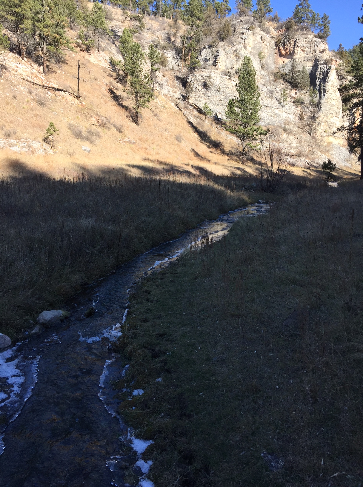
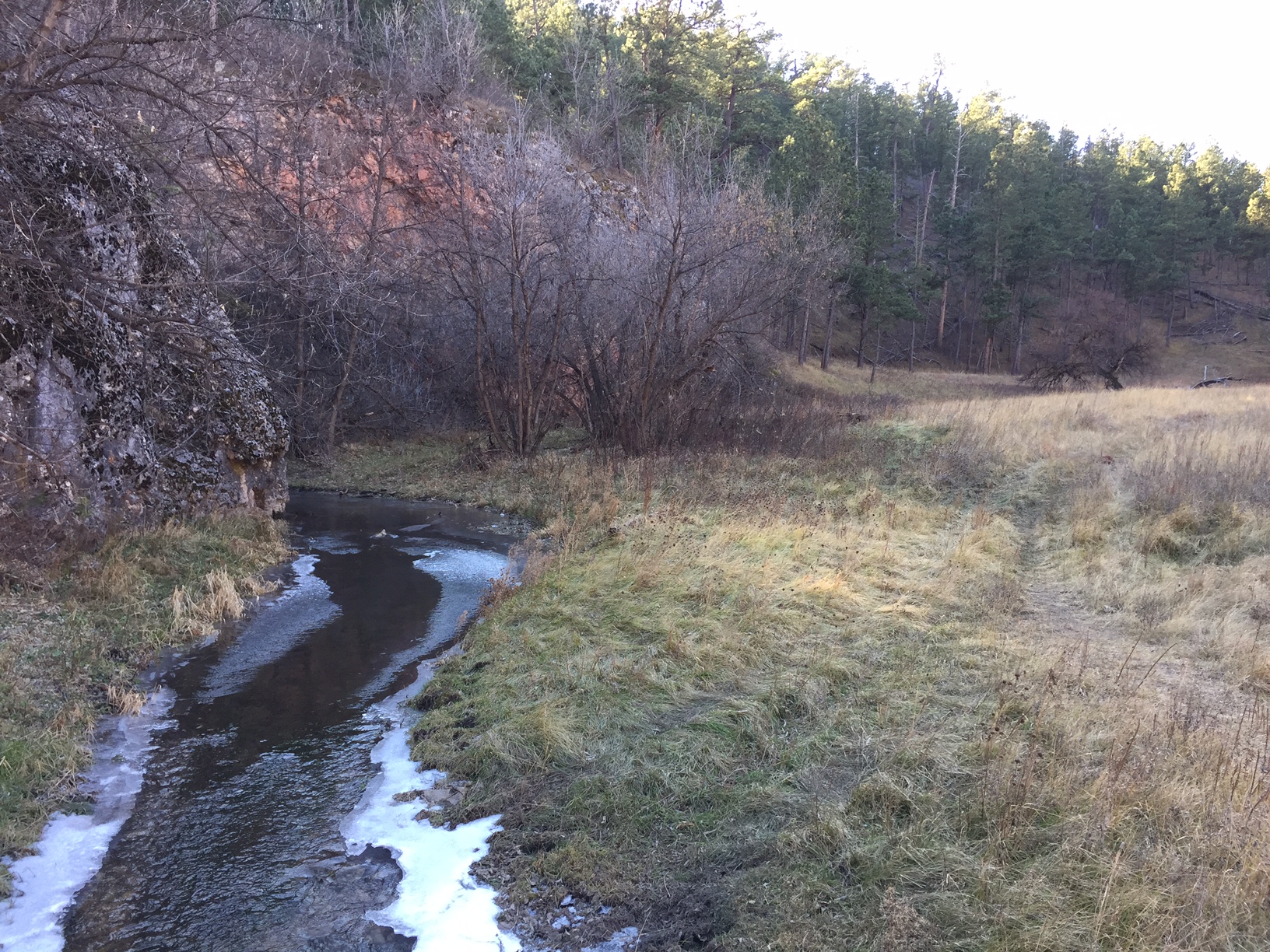
The bottom of the canyon consists of a long, narrow meadow. When you reach the floor of the canyon, be sure to turn left onto the Centennial Trail to keep to the loop (a right turn will put you on the Highland Creek Trail).
There are several prime lunch spots along the creek and watch for remnants of the ungulates (deer and elk) whose bones are scattered throughout this area (whether they met their demise by flood or they were drug here by fanged animals, we will never know).
Follow the canyon and its babbling creek for about two miles until you emerge dramatically into an open meadow. A portion of the Centennial Trail will soon break off on an uphill branch to the right, while you will continue straight along the creek and eventually the trail will curve to the left. It then ascends one final rise which brings you back to the trailhead.
Wildlife on the Lookout Point Trail
Be sure to keep VERY ALERT for buffalo in this area. They are numerous and we see them every time we hike in this park. It is rare that we don’t have to alter our route to skirt a buffalo (or 30). They seem to favor the same trails the humans use so be prepared to go off-trail and give them a wide berth.
Fortunately, this area is highly visible, open prairie so even if you have to go well off-trail you’re usually able to keep at least one trail marker in sight. It’s always advisable to bring a topographical trail map and compass when hiking these areas (or anywhere, really) to assist you in maintaining your direction if you need to go off-trail.
Always remember, if the animal is reacting to you (acting agitated in any way, huffing, stomping its feet, etc.) you are TOO CLOSE and should move away (calmly and slowly) as soon as possible. As long as the animal’s space is respected there are rarely any altercations but it should always be remembered that these are wild (not to mention LARGE) animals and they may react aggressively if they feel threatened (this is especially true in the spring when calves are present).
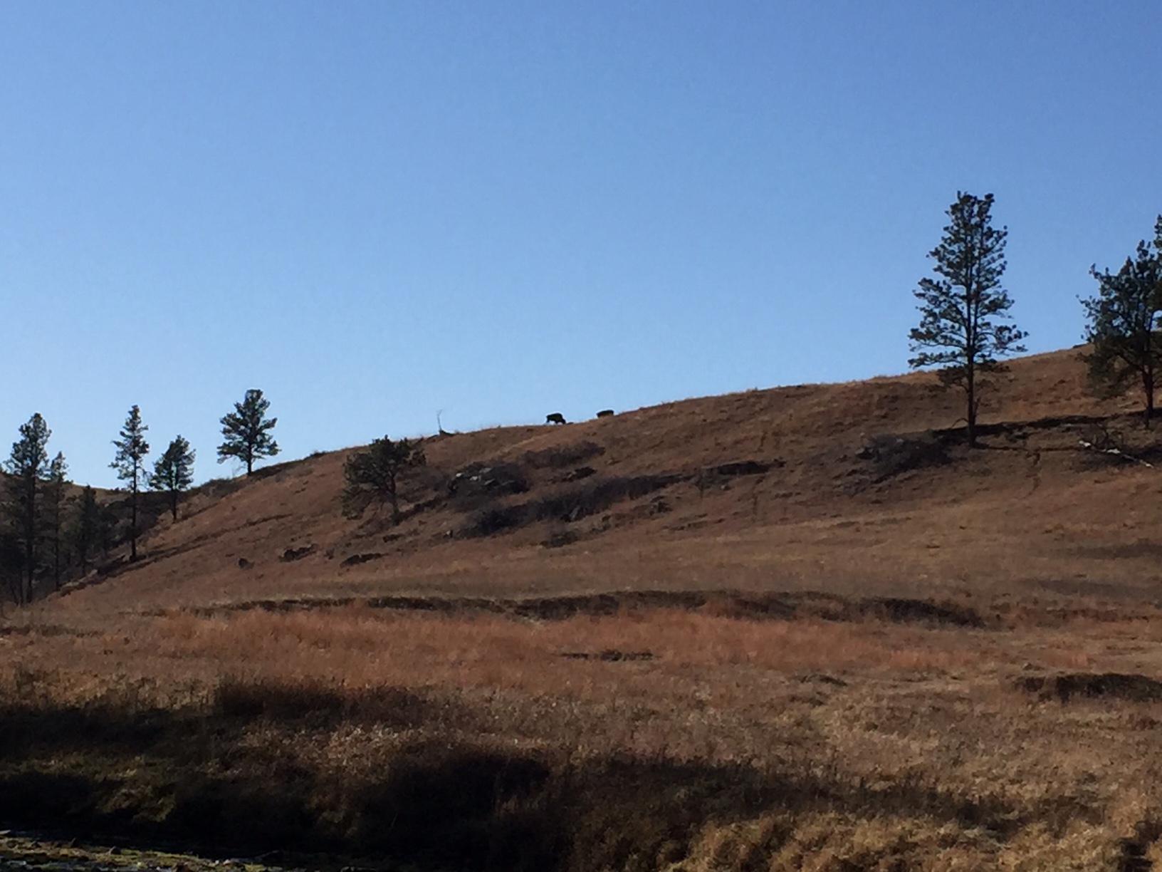
On this day’s hike the buffalo we saw didn’t even bother to get up and stop chewing their cud as they watched us wander by. We have had buffalo turn to follow our every step until we’re out of sight when calves were present (and we were intentionally skirting them at the time). We’re also often scolded by prairie dogs for “invading” their area when altering our course away from the buffalo.
This brings up another safety point, give the prairie dogs space too. According to the Forest Service, their fleas carry plague (yes, as in the Black Plague) which can be passed to you if you get too close and are bitten by said flea. Also, the animals may bite if they feel threatened, though they aren’t usually aggressive. In addition, rattlesnakes and black widow spiders favor abandoned prairie dog holes (not to mention these holes offer a prime opportunity to twist an ankle if you aren’t careful) so it’s best to treat these “prairie dog towns” with respect, as well.
Be sure to keep a sharp eye out for coyote, elk, and deer in this area as this is prime viewing territory for that type of wildlife. Be careful to also watch trail signs at junctions in these locales as there are several intersections and it is easy to get on the wrong trail.
To Conclude
This entire loop can be completed in about three hours (dependent on your skill level, speed, and how many sightseeing breaks you choose to take). The trail is relatively easy with only short, moderate-difficulty climbs and is around five miles in distance for the entire loop. This area is also lower in altitude than many areas in the Hills and may be easier for the “Lowlanders” to handle. 😉 In the summer, be prepared for unrelenting heat and little shade on the prairie section (though the ever-present prairie wind will offer some respite).
So, when visiting Wind Cave, don’t let the amazing sights below ground deter you from enjoying the numerous opportunities available above ground as well!
Have you hiked in Wind Cave? Tell me about your experience in the comments!
Did you enjoy this post? Pin it!
Like what you read here today? Please feel free to leave a comment, like or share this post! Add your email at the bottom of the page, or the sidebar to the right, to be notified when a new post is published. By signing up for the email list, you will also receive a free copy of the Tranquil Trekker’s Top 10 Tips of Trekking Do’s and Don’ts!
You can also follow the blog on social media by clicking the links below!
