For another great, Black Hills hike check out a loop that can be made of the Dakota Point, Centennial, and Flume trails near Spring Creek and Sheridan Lake.
It’s funny because we’ve done each of these hikes several times in the past, we just haven’t ever combined them (mostly because water levels on the creek were high or footbridges were out).
The entire loop is between three to four miles in total length.
Where is the Dakota Point Trailhead?
We started and ended our loop at the Dakota Point Trailhead which is located off of Sheridan Lake Road. Dakota Point Road branches off of Sheridan Lake Road and gives access to both the trail and the lake. You will find it about 13 miles west of the Sheridan Lake Road/Catron Boulevard intersection on the southwest side of Rapid City.
This is another, somewhat obscure trailhead found off Sheridan Lake Road, but at least this one has a sign! At certain times, it could be difficult to reach (especially with a regular passenger car) due to mud or snow, as the road to it is not usually plowed (though it is heavily used throughout the year).
What is the Centennial/Dakota Point Loop Hike like?
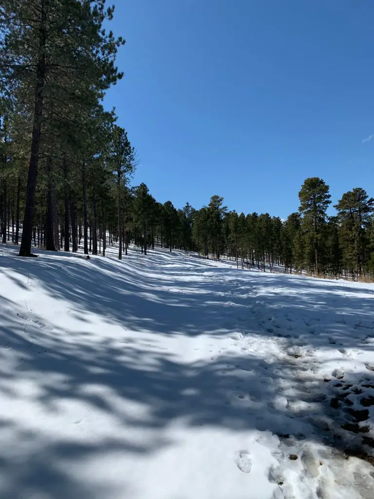
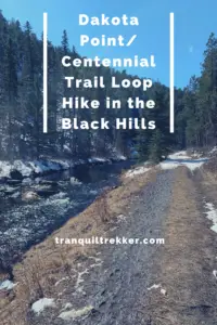
The first portion of this trail is fairly easy. You will follow a rolling route up and down some shorter hills. The majority of it follows old forest roads that are wide, and fairly well-graded. In a few spots the trek reverts back to more of a regular trail, but even these are fairly easy to navigate.
You should be aware, while you can navigate this loop from either direction, both arms basically wander down the side of the hill towards the creek and lake. This means on the return trip, you will be facing a moderately strenuous, uphill climb, regardless of which direction you choose.
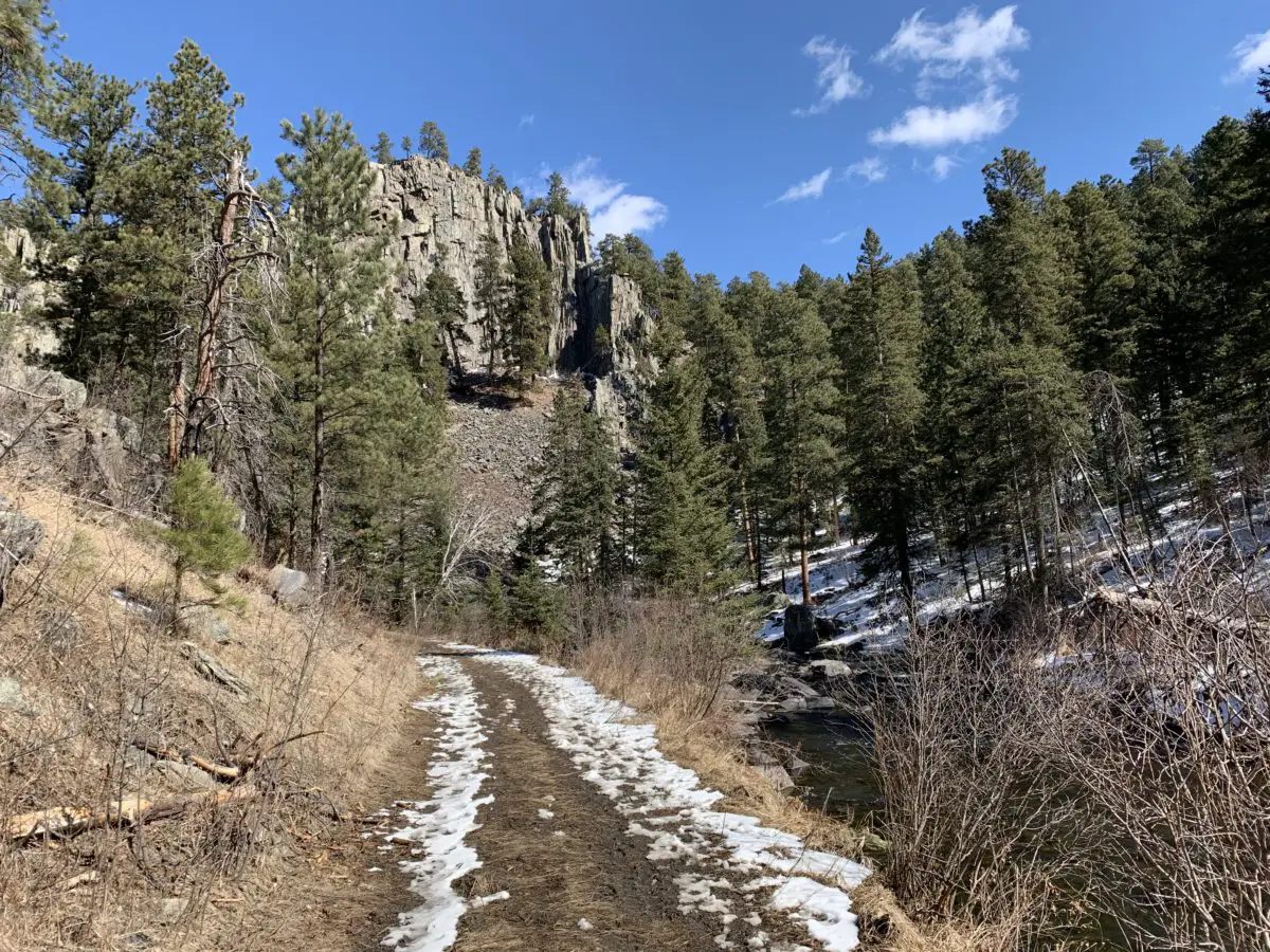
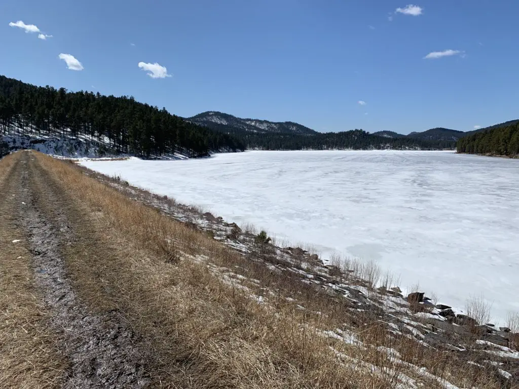
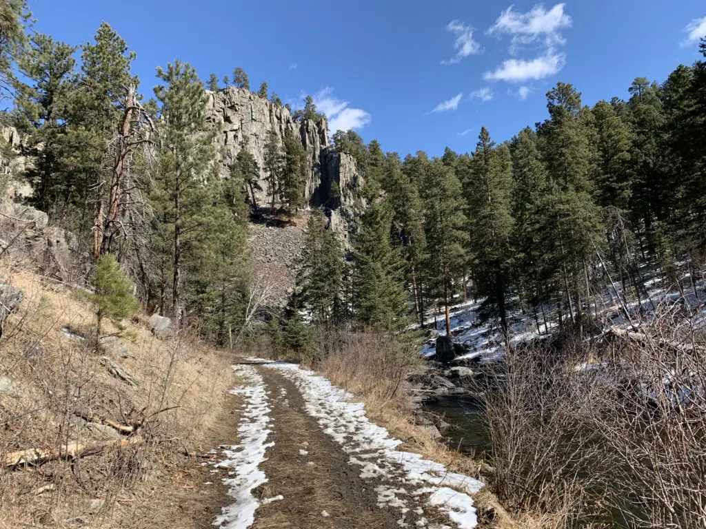
The Dakota Point trail leads you to the dam on Sheridan Lake. This route is very heavily used, especially in the summer. About 1/2 mile into this trail, you’ll come to a fork. If you take the right fork, you’ll continue on the shorter route to Dakota Point. If you take the left fork (which we did) you’ll join the Centennial Trail that runs almost the entire length of the Black Hills.
You’ll follow the Centennial Trail for about a mile, traipsing downhill the majority of the time–sometimes steeply–until you join up with the Flume Trail coming from the Spring Creek Trailhead. If you turn left, you’ll go to the Spring Creek Trailhead, if you turn right, you’ll eventually end up at the Sheridan Lake dam.
There are a number of other trails that break off from the dam that join the Flume Trail, in places, and traverse around Sheridan Lake. There is also a loop of the Flume Trail that you can join. As you can see there are many choices for hiking in this area!
Once you cross the Sheridan Lake dam, you will climb the lovely, stone steps, to a picturesque view of the backside of the lake. You can then continue back to the Dakota Point Trail and make the long climb back to the trailhead.
Footbridges on the Flume Trail, Black Hills
Once you reach the Flume Trail, be prepared for multiple creek crossings. There are usually footbridges that allow you to cross with little effort but be warned, they can be a bit intimidating. They are literally, basically just wide railroad ties that span the creek.
There are no handrails on the bridges. You aren’t that high above the water (though it would probably still hurt to fall) but this can cause an intimidating trip across the bridge if you’re afraid of heights. Also, if more than one person is on the bridge at a time, they tend to bounce a little which is even more unnerving.
Often you can cross the creek on foot (unless the water is overly high) but this can be a COLD trip when the weather is cool. Also, every few years, these footbridges tend to wash out when the creek floods. 😝
To Conclude
This is a great trail loop! It isn’t overly long though it is moderately-strenuous. This would be a perfect option for a family hike and it is located close to town so it’s easy to reach. Why not check it out the next time you’re looking for a weekend hike in the Black Hills?
Have you tried any of these trails or done the entire loop? What was your experience? Tell me about it in the comments!
Did you enjoy this post? Pin it!
Like what you read here today? Please feel free to leave a comment, like or share this post! Add your email at the bottom of the page, or the sidebar to the right, to be notified when a new post is published. By signing up for the email list, you will also receive a free copy of the Tranquil Trekker’s Top 10 Tips of Trekking Do’s and Don’ts!
You can also follow the blog on social media by clicking the links below!