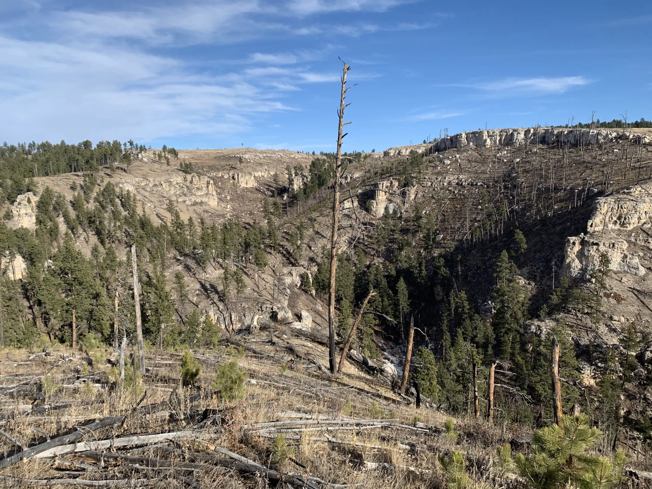
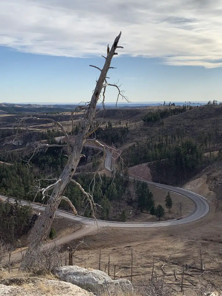
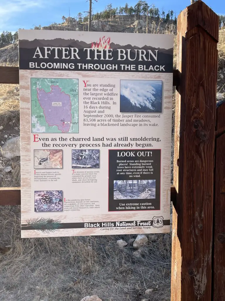
The Hell Canyon Trail is found in a very scenic portion of the southern Black Hills. It was once quite forested until it was decimated by the Jasper Fire in 2000 which was one of the worst fires on record, in the Black Hills. You can still see remnants of this damage (though they have begun reseeding this area, so hopefully it will be returned to the forest in a few years).
Funnily enough, the canyon was named BEFORE it was ravaged by the fire. The ruins of that event do make it look a bit like a hellscape though! 😮
Where is the Hell Canyon Trailhead?
The Hell Canyon trailhead is located in far southwestern South Dakota pretty much in the middle of nowhere. 😉 It is situated 25 miles east of Newcastle, Wyoming, or a little more than 10 miles east of the Wyoming state line. It is also less than 15 miles west of Custer, South Dakota, basically a mile west of Jewell Cave, on US 16, on the north side of the road.
A word of caution: if you just put “Hell Canyon” into your GPS it may try to take you to a remote spot south of the highway. This area is beautiful, but these roads can turn into 4WD roads VERY quickly and easily, especially in snowy or muddy conditions.
You can certainly enjoy driving in this area but do so with caution and at your own risk. The actual Hell Canyon trailhead can be reached by any vehicle as it is just off of US 16. No 4WD required!
What is the Hell Canyon trail like?
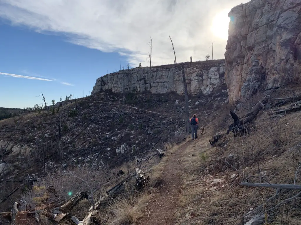
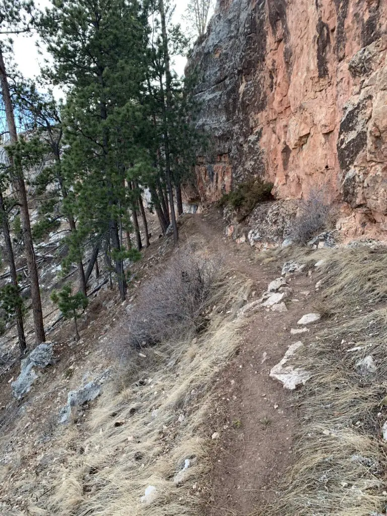
Hell Canyon is a loop trail that is about 5.5 miles long and really only covers a small portion of land. The right side, or eastern branch, of the trail traverses the floor of the actual canyon while the left side, or western branch, is found on the canyon rim. In many places, you can see the lower portion of the trail from the upper portion.
You can really take the loop in either direction. During the warmer months, the Trekkers prefer to go counterclockwise, starting with the climb to the top of the canyon wall. This gets the only moderately-difficult portion of the trail out of the way early. This area also has little to no shade, due to the Jasper Fire, so depending on what time you set out, it may be best to try to do this section during the coolest portion of your hike.
![]()
![]()
![]()
The exception to this is if you’re attempting the hike during the colder months and you WANT the sun. Also, the portion at the back of the canyon that descends the forested part of the canyon wall can become INCREDIBLY icy during the cooler times of the year. We made the mistake of descending this way once and had to pretty much do the entire thing by crab-crawling and sliding on our backsides to keep from careening over the cliff edge (and this was WITH YakTrax traction devices on! 😮 )
What Will You See on the Hell Canyon Trail?
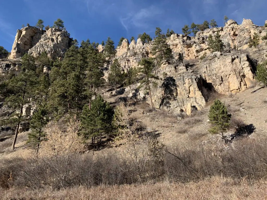
You will see a variety of ecosystems on the hike. The canyon floor itself is forested and quite green and lush, with a creek running through it. The upper canyon rim consists of dry, arid grassland. This is the portion that was hit by the fire.
On the backside of the canyon (the north end), at around the halfway point through the loop, you will see the ruins of an old CCC camp. There is also evidence of an old, paved road in this area, as well as some root cellars and small, cement foundations leftover from the camp days.
There are a few places along the canyon rim that can feel a little sketchy to people who are afraid of heights. As long as you are careful there isn’t a lot of danger on this portion of the trail, but it can be disorienting as you’re basically just staring down a scree slope.
If you’re looking for a fun, moderately challenging hike that isn’t very busy, check out the Hell Canyon trail!
Have you hiked at Hell Canyon? Tell me what you thought of the trail in the comments!
Did you enjoy this post? Pin it!
Like what you read here today? Please feel free to leave a comment, like or share this post! Add your email at the bottom of the page, or the sidebar to the right, to be notified when a new post is published. By signing up for the email list, you will also receive a free copy of the Tranquil Trekker’s Top 10 Tips of Trekking Do’s and Don’ts!
You can also follow the blog on social media by clicking the links below!