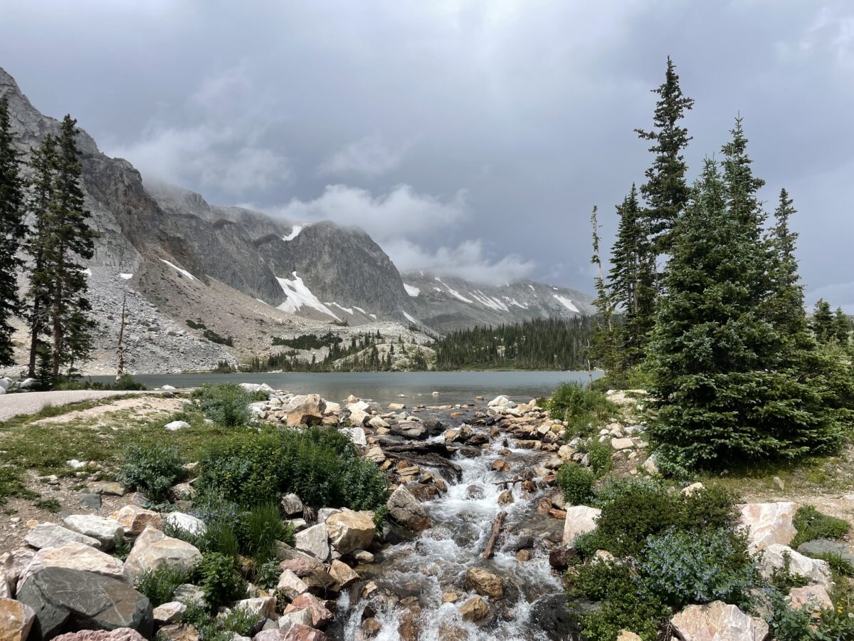
The Medicine Bow mountains (also called “the Snowy Range”) are found in the far, southeastern corner of Wyoming. They are beautiful and unique! This is an area that is pretty secluded and not very commercialized. It also isn’t as well-known as many of it’s Rocky Mountain brothers to the south and west so it isn’t as crowded! This is kind of a hidden gem in the region if you’re looking for beautiful sights, great hiking and fewer crowds! (For fewer crowds I also recommend numerous trails in the Bighorn mountains. Click here for info on those or see more of the links below!)
Where are the Medicine Bows?
The Medicine Bows are a small area of mountains that run from north-central Colorado (near Rocky Mountain National Park) into south-central Wyoming (near Laramie).
These mountains are also called “the Snowys”. Why? Well, because they are usually VERY snowy! 😉 But seriously, every time we have visited this area in late July or early August there was still always at least some snow on some of the peaks.
The Wyoming portion of the range is what most people think of as the Medicine Bows. Here they are divided into three main areas: the Sierra Madres to the west, the Snowy Range (the Snowys) in the middle, and the Laramie Peak area to the east. We have always focused on the Snowys…
The Snowy Range reminded us of Colorado! This area felt a lot like the around Walden, Colorado, and State Forest State Park which makes sense as it’s the same National Forest. Also, less than 100 miles separates the two…we also enjoy the “singing” hummingbirds in the Snowys that we’ve noticed in Colorado before…
Ryan Park Campground
There are multiple Forest Service campgrounds in the Snowy Range. We usually choose Ryan Park as it is lower than many of the other campgrounds in the Snowys (at “only” around 8,000 feet rather than 10,000 feet.) This proves an obvious benefit as it is usually slightly warmer (especially at night) and may have less rain (but it’s still FAR cooler than the lower elevations of the surrounding plains!)
To be clear, Ryan Park is still a Forest Service campground so it is rustic…
I’ve mentioned before that we REALLY enjoy US Forest Service campgrounds as they usually offer more secluded campsites and more rustic locations. Forest Services campgrounds are perfect for tent camping though most can accommodate RVs, as well (at least in some sites). Just be aware of what you’re getting into as most Forest Service campgrounds only offer:
-
-
- potable water–at least in-season
- decent campsites with fire grates and picnic tables (Always check local regulations to see if there are any current fire bans in place!)
- …and that’s about it! 😀 Forest Service campgrounds also usually only offer vault toilets. (And, let’s be honest, a vault toilet is still just a hole in the ground that you pee in 😉 but, the bathrooms at Ryan Park Campground have always been some of the cleanest and nicest-smelling outhouses we’ve ever been to! 😉)
-
**I should do a post sometime about decent vault toilets we’ve visited around the country. Note: Yellowstone National Park and State Forest State Park, in Colorado, sport some of the NASTIEST! 🤥**
Another thing to note is that unfortunately, there isn’t much shade at any of the Snowy Range campgrounds. Sadly, this area has been hit BADLY by beetle kill in recent years. The Forest Service has done a good job of cleaning up all the dead trees near campgrounds, which is incredibly important for safety, it just means most of them are fairly bare of trees now. 😕 This does equate to lovely views of the night sky and sunsets/sunrises though!
Hiking in the Snowy Range
We found some great hiking trails in the Snowys!
Medicine Bow Peak Trail (to the saddle)
We hiked from the Sugarloaf trailhead near Lewis Lake. This is one of the shortest routes to Medicine Bow Peak. This portion of the trail is largely family-friendly and doesn’t get too difficult (until after you reach a saddle that is less than a mile from the peak.)
If you’re thinking about trying that last mile, just know that it is incredibly steep and rocky with loose, potentially slippy rock and it is exposed on a shelf-like trail. You can read more about it here!
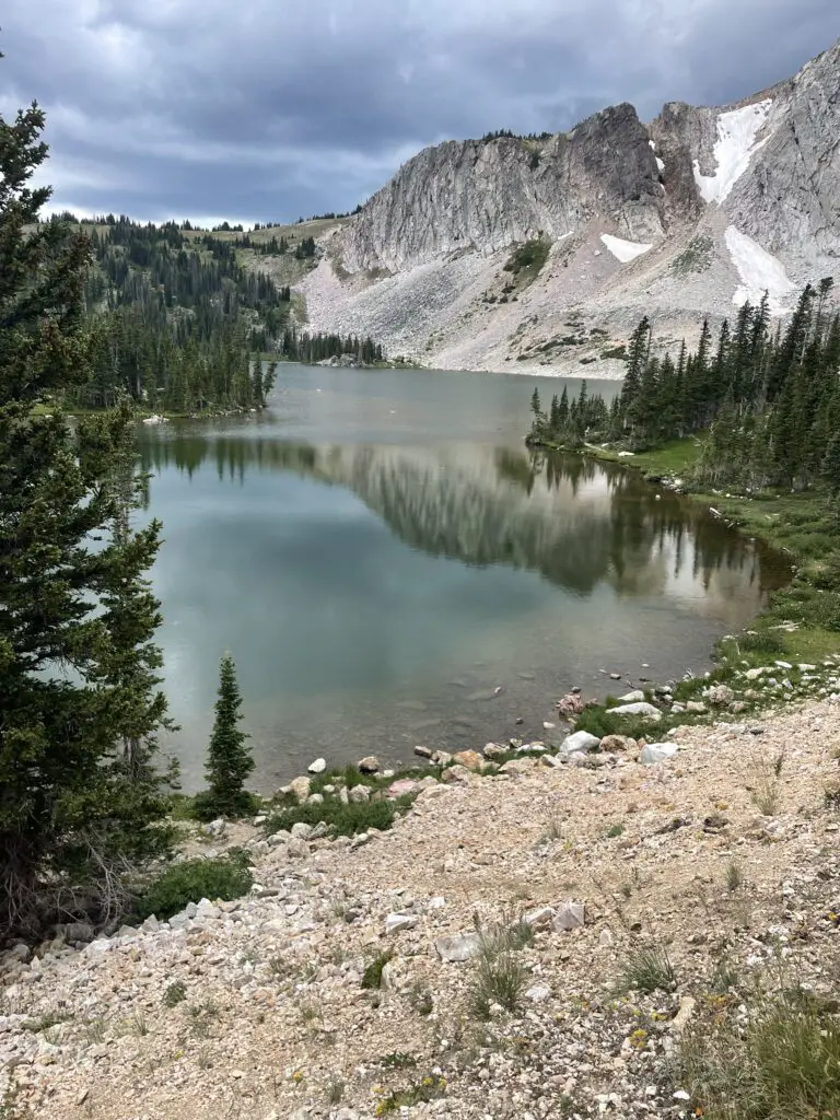
In addition to the Sugarloaf Trailhead, there are multiple trailheads you can use to access Medicine Bow Peak. The longest (but relatively easiest) is from Lake Marie. You can also access the trail from Mirror Lake and Brooklyn Lake, though these routes require a longer trek and combining multiple trails.
Is Medicine Bow Peak Trail (to the saddle) Hard?
The trail from Lewis Lake is only about three miles long. It also only gains about 300 feet in elevation to the saddle. (The remainder of the hike to the Peak it gains more than 1000 feet in elevation in less than a mile!) The biggest challenge with the hike to the saddle is the altitude. You’re above 10,000 feet for the entire hike!
Be aware that due to how high you are you’re above tree line for the entire route so there is NO SHADE! This can also cause the trail to become INCREDIBLY slick in the rain, mist or snow–and note, snow and ice lasts LATE into the season and comes EARLY in the High Country. It can snow at any time of the year up here and thanks to monsoonal moisture, it has rained on us every single trip we’ve taken to the Snowys! Also, there is absolutely NO PROTECTION from lightning up here during the violent summer thunderstorms that frequently occur. (Thunderstorms are common in the afternoons in late summer, during Monsoon season. You do NOT want to get caught exposed, above treeline during a lightning storm!)
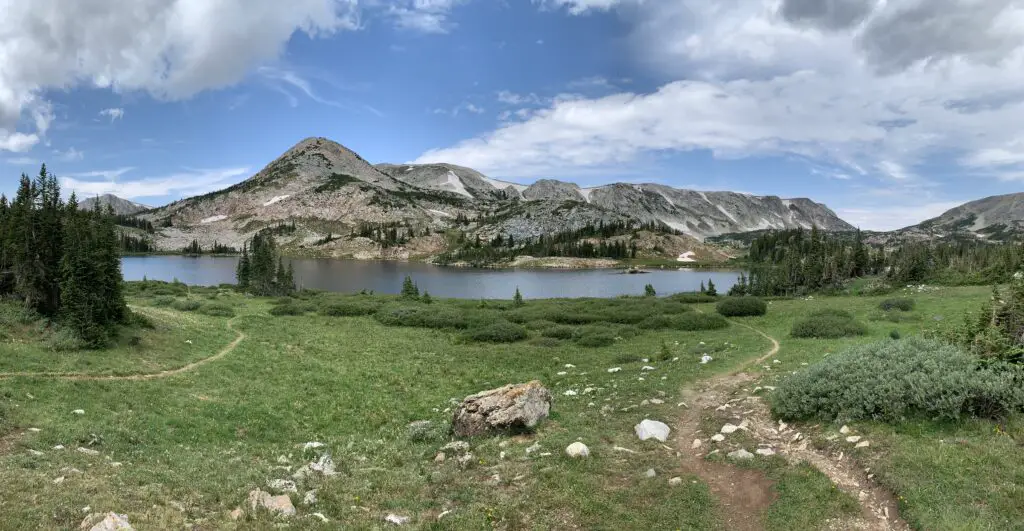
At the saddle the trail from Lewis Lake also meets up with the other end of the Medicine Bow trail that comes up from Lake Marie.
This trail is LOVELY! You hike along the spine of the Snowy Range getting amazing views of the local lakes, the nearby mountains, and the surrounding landscape. At one point we could make out eight separate, small lakes spreading out behind us!
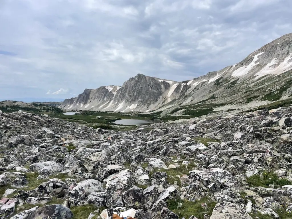
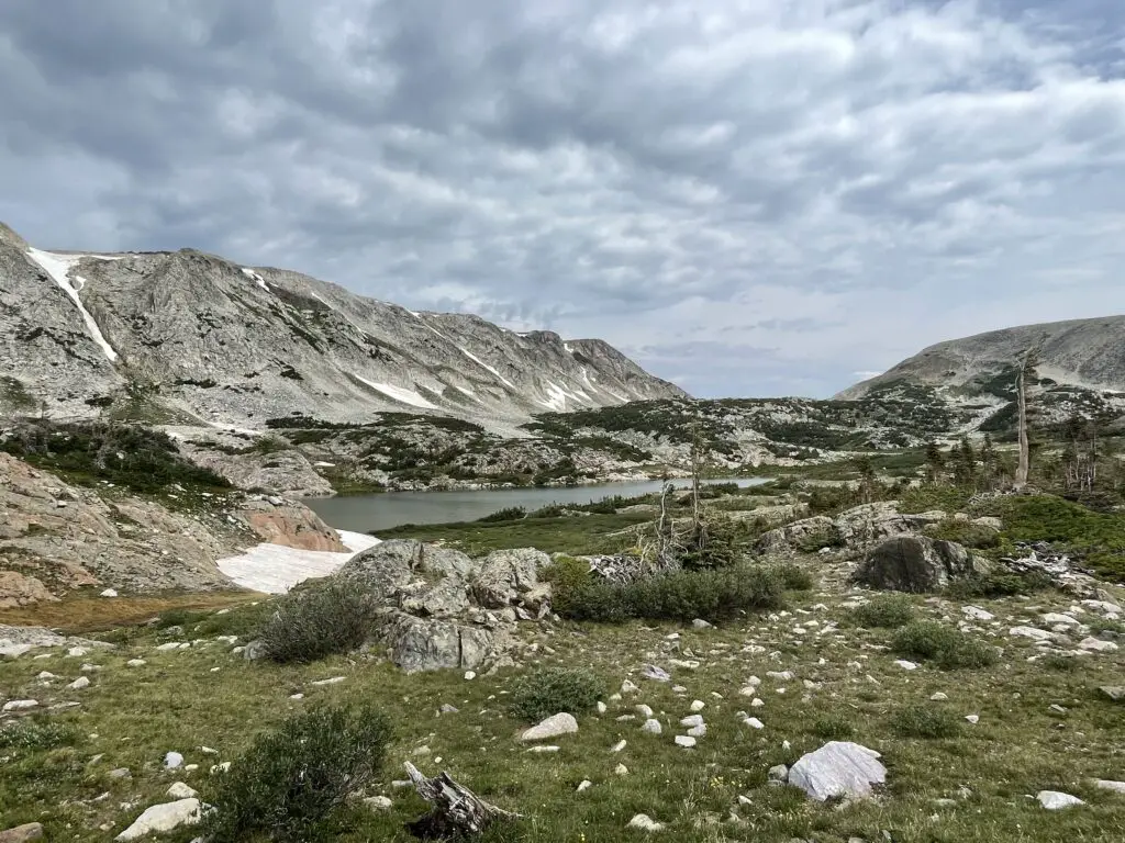
I would rate the early portion of the trail (to the saddle) as moderate for sure. It isn’t overly difficult or long–we saw several families with young children. It is a bit rocky and there is some scrambling required in a few, short areas.
The most difficult part about this trail is just that it’s incredibly exposed and high (as I said before, entirely over 10,000 feet). There are no steep drop-offs directly from the trail though, so as long as you are a fairly capable hiker, you take it slow and you respect the conditions, you should do okay.
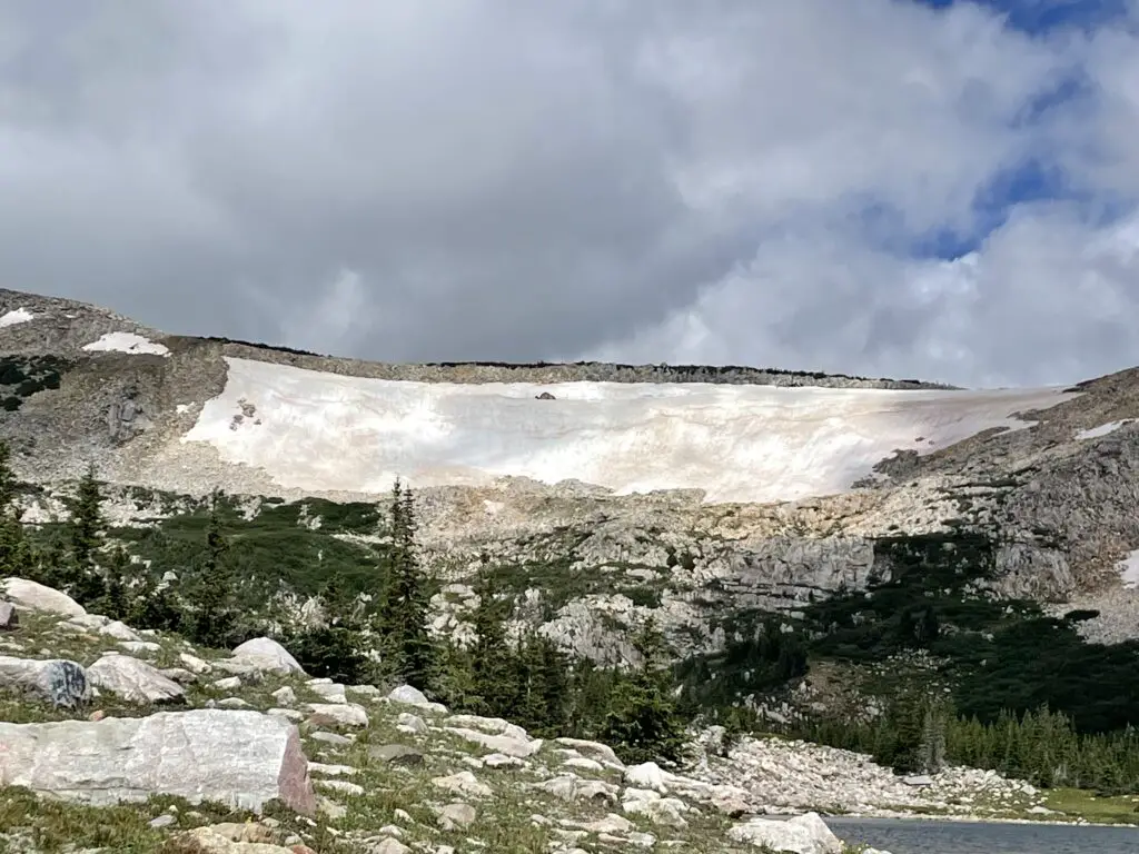
Though we’ve never had to navigate any actual snow in late July/early August, there were always still some snowfields along the trail.
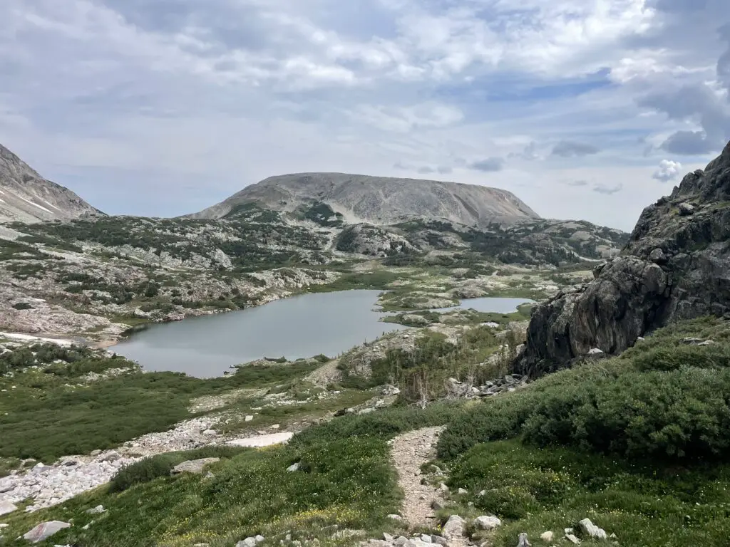
Dogs on Medicine Bow Peak Trail
Dogs are fine for the hike up from Lake Marie or from Lewis Lake to the saddle (also on the trails mentioned below). These are all largely just general, easy-to-moderate hikes. We’ve taken Puppers on most of these trails! After the saddle though I would NOT recommend dogs at MedBow Peak. They are allowed and some can make it up (one beat us to the top!) but others we saw seemed to be anxious and one owner reported needing to carry her dog part of the way (and she was a younger pup).
Lost Glacier Lakes Trail to Lost Lake
Lost Glacier Lakes trailhead is found on the east side of the Snowys. It starts from Brooklyn Lake and heads west. The route to Lost Lake is about six miles in total length (out and back).
From Lost Lake, the trail continues on to where it meets up with the Medicine Bow Peak trail at Lewis Lake and the Sugarloaf Trailhead (see above). The entire Lost Glacier Lakes Trail from Brooklyn Lake to Lewis Lake is a little over eight miles (in one direction).
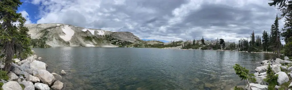
Lost Lake was SO BEAUTIFUL! It reminded me of Lake Helen in the Bighorns!
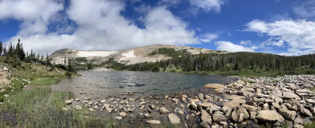
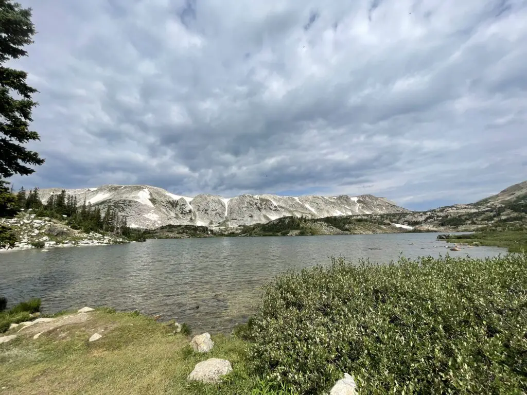
Is Lost Lakes Trail Hard?
The Lost Glacier Lake Trail is a lot of fun! It offers very little elevation gain and is mostly a wide, dirt path throughout. Be watchful for the occasional tree root and rock, but there is very little scrambling required. This is a kid (and dog)-friendly trail! (Just remember the entire trail is still above 8,000 feet!) This trail is also below tree line so there is a lot more shade (and it’s much less exposed) than what you’ll find on the Medicine Bow Peak Trail.
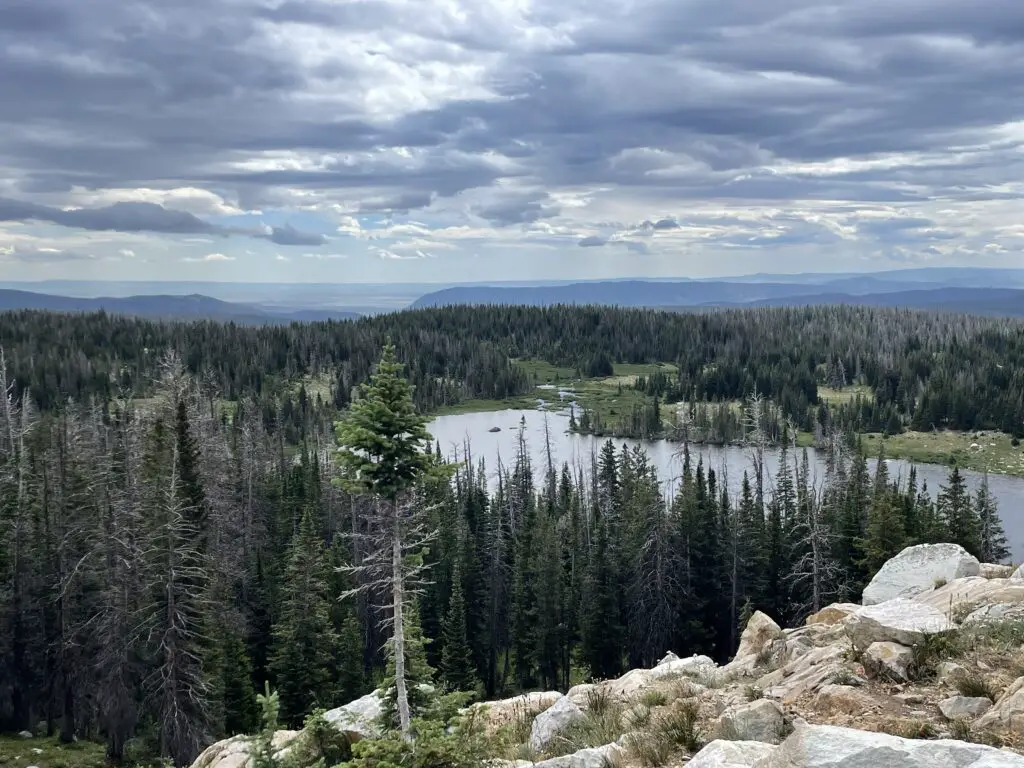
We really enjoyed this trail! It offered nice views of the lower lakes and plains of eastern Wyoming. On clear days you can also spot some of the high peaks of the Rockies down in Colorado.
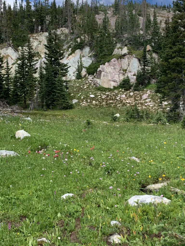
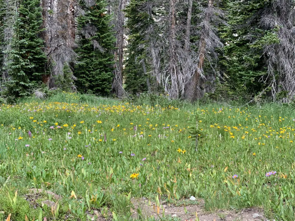
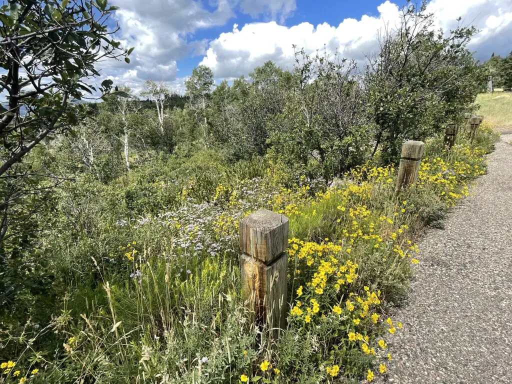
Below are some pictures of the wildflowers we saw on the Lost Glacier Lakes Trail. The pictures don’t do the colors justice, of course. The flowers were absolutely BEAU-tiful!
Camping in the rain!
As I mentioned earlier, we always seem to travel to the Snowys during Monsoon Season and we’ve been rained on EVERY time we visit there. That’s okay though, part of “roughing it” in the wild is dealing with whatever weather Mother Nature decides to throw at you! A few tips on tent camping in the rain…
—If you’re camping with your spouse, marry someone who you can belly-laugh with rather than yell at! 😍
–Spend money on a NICE tent (I recommend the REI brand) with a rainfly that covers the entire tent and reaches almost to the ground. Our tent stayed completely dry inside!
—-Along with that, make sure nothing important is touching the walls of the tent (clothes, bedding, etc.) I can’t explain it but there is this phenomenon where if the tent is wet outside the water stays outside as long as nothing touches it from the inside. If something does touch it, that thing gets wet and the water seems to start seeping inside the tent.
This is probably some weird phenomenon of physics, but since I’ve never taken a physics class I can’t tell you any more about it. 😇 Ask Mr. Trekker, he used to teach a physics class! 😂
Scenic Byways!
We also drove several scenic byways in the Snowy Range! (Note: both of these routes are closed in the winter–they’re really only open May through November–and this is weather-dependent).
Snowy Range Scenic Byway
The Snowy Range Scenic Byway is Wyoming Route 130 that travels east-to-west through the Snowys portion of the Medicine Bow mountains. It runs from the Encampment/Saratoga areas in the west to Centennial, Wyoming in the east.
There are several nice pullouts along the Byway. Some of our favorites were:
Libby Flats: an open, meadow area in the higher elevations of the Snowys. It offers an observation tower and spectacular views of the surrounding countryside. We also saw a bunch of marmots here!
Lake Marie: a VERY pretty stop on the western side of the Byway. It offers a nice boardwalk and paved walking path that connects to the Mirror Lake picnic area just to the east. Other hiking trails break off from here, as well (from this lake starts the easiest–though not the shortest or fastest) trail to Medicine Bow Peak.
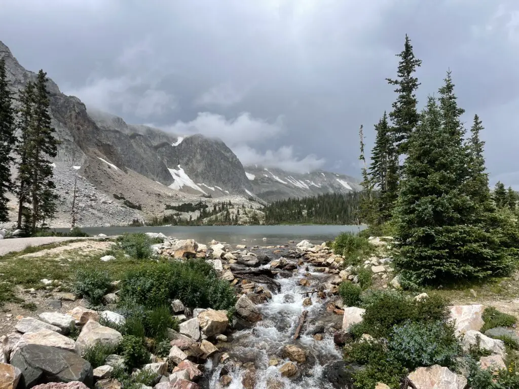
The Continental Divide! –Battle Pass Byway
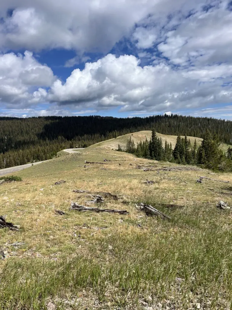
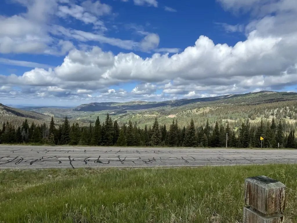
Battle Pass Byway is Wyoming Route 70 that travels east-to-west through the Sierra Madre portion of the Medicine Bow mountains. It runs from Baggs, Wyoming in the west to Encampment in the east and it crosses the Continental Divide.
So, if you’re looking for a great place to hike and camp that’s just across the border from the crowded trails in Colorado, check out the Snowys!
Have you spent time in the Snowy Range? Tell me about your experience in the comments!
Like what you read here today? Please feel free to leave a comment, like or share this post! You can also follow the blog on social media by clicking the links below!