Hiking Black Elk Peak, Trail #9: the Easy Way!

In this post, I detail the main route up Black Elk Peak in the Black Hills.


Black Elk Peak trail (Trail #9) is one of the most popular hikes in the entire Black Hills.  It summits Black Elk Peak, which is the tallest peak in the Hills (at over 7000 feet in elevation) and it is also the tallest mountain in the entire country east of the Rockies!

In this post, I am reviewing the route that traverses the south side of the mountain.  This is the easiest way up Black Elk Peak.  You can also attempt Trail #9 from the north.  For a review of that trail, which is only lightly traveled and is FAR more strenuous than the southern route (in my opinion it is one of the hardest trails in the entire Black Hills) click here.  

Where is the Black Elk Peak Trailhead?

The trailhead is located within Custer State Park.  It is adjacent to the picturesque Sylvan Lake.  You can reach it from the east side of the main parking lot at the lake, which is found just off of Route 87.

When is the best time of year to hike the Black Elk Peak Trail?

You can hike this trail any time of the year (weather-permitting that Route 87 is open so you can get to the trailhead).  Always remember that because this is the highest portion of the Black Hills, it tends to get more snow than the surrounding areas and that snow tends to stick around longer.

Also, this trail is VERY popular, even in the winter months, so the snow on it gets packed into very slippery ice.  At a bare minimum, traction devices such as Yaktrax are a MUST during the snowy months.

As with the majority of Custer State Park, you can take dogs on this trail.  Please keep them leashed though.  Unlike many other trails in the Black Hills, you should expect to have A LOT of company on your hike, at least during the busy season. 

Black Elk Peak is the new name for Harney Peak

Black Elk Peak is located within the Harney range.   The name of the mountain was changed from Harney Peak just a few years ago so many signs and maps still carry the old name.  The new name honors Black Elk, a Lakota, Holy Man who died in 1950.  The wilderness area that the peak is located within was named after him, as well.

*If you’re interested in learning more about this great man and the rich, Lakota culture, check out the book Black Elk Speaks by John Neihardt.  Neihardt wrote this biography after interviewing Black Elk near the end of his life. 

The Holy Man had an incredibly rich life filled with diverse experiences.  These ranged from growing up in a nomadic tribe on the South Dakota Plains to traveling the world with the Wild Bill Hickok Wild West show!  Black Elk was even at the Battle of Little Bighorn where General Custer was killed.  In the book, he discusses how everything changed when “the yellow metal that makes white men crazy”–-his name for gold–was found in the Black Hills.

What is the Black Elk Peak trail like?

The trail is quite wide and graded, with very little rock-scrambling required (until you get to the summit).  Due to this, I would give it a rating of Moderate.

The only things that make this trail difficult are the length (it’s over seven miles long, out-and-back, and can easily take 4 – 5 hours to complete) and it sits at a high altitude.  Throughout the entire hike you never drop below 6000 feet, so expect to feel the lower oxygen levels present at this higher elevation.  You will get out of breath and tired more quickly and you may feel dizzy (or like your head is “swimming”.)

The summit can be a little daunting.  As with much of the rest of the Black Hills this area is left primarily to nature.  There are very few fences or barriers between you and the cliff edges that surround the summit of the mountain.  If you are responsible you can very safely enjoy this site.  Just be watchful with small children and pets.

All that being said, this trail is family-friendly as long as you know your limits and take your time.  I would recommend hiking boots (or at least sturdy shoes) for this hike but I’ve seen people do it in simple sneakers and even flip-flops or sandals. 😮
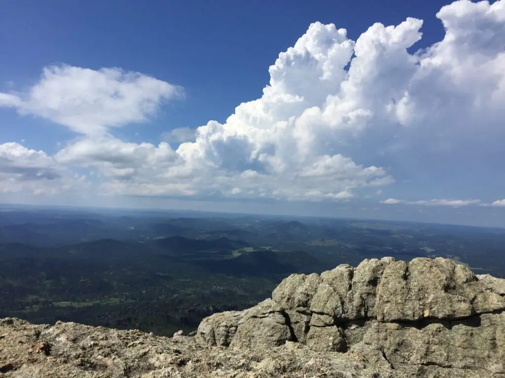
A grey, rocky cliff in the foreground overlooking tree-covered mountains and plains stretching to the horizon far below, all under puffy, white clouds in a blue sky.
It’s a long way down!

The other concern here is the weather.  It can change incredibly quickly.  It can also be drastically different here than the lower elevations in the rest of the park or the surrounding countryside.  The peak is solely made of granite rock, there are no trees for shade or protection.

While the hike does meander through the Black Hills National Forest, this portion of it was decimated by the pine beetle epidemic just a few years ago so there are many areas that were left bare of trees. So don’t expect a lot of shade to hide you from the sun in the summer. 

There is also little protection from the wind.  If a thunderstorm pops up while you’re on the mountain (which can frequently be expected during the afternoon in the summer months) you should immediately trek back down the trail and get to an area with more trees and protection!

What will you see on the Black Elk Peak Trail?

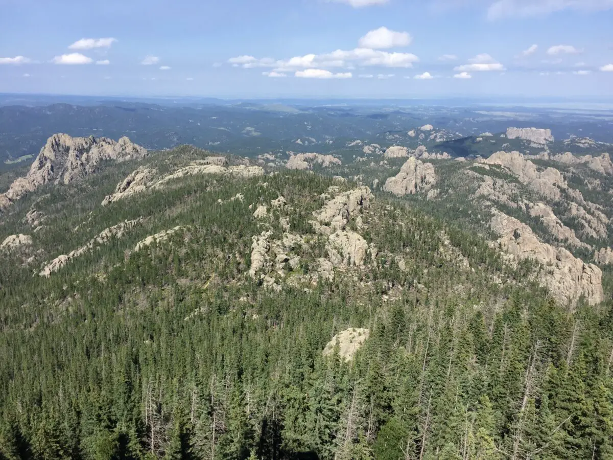
The panorama that greets you at the summit is unrivaled anywhere in the Black Hills (you’re taller than everything else so there is nothing to block your view! )  We are talking a 360-degree vista of the entirety of Custer State Park, the town of Custer to the south, Rapid City to the north, and the plains that spread to the east of town!  On clear days you may also be able to spot the Badlands, which is almost 100 miles to the east (bring your binoculars!)
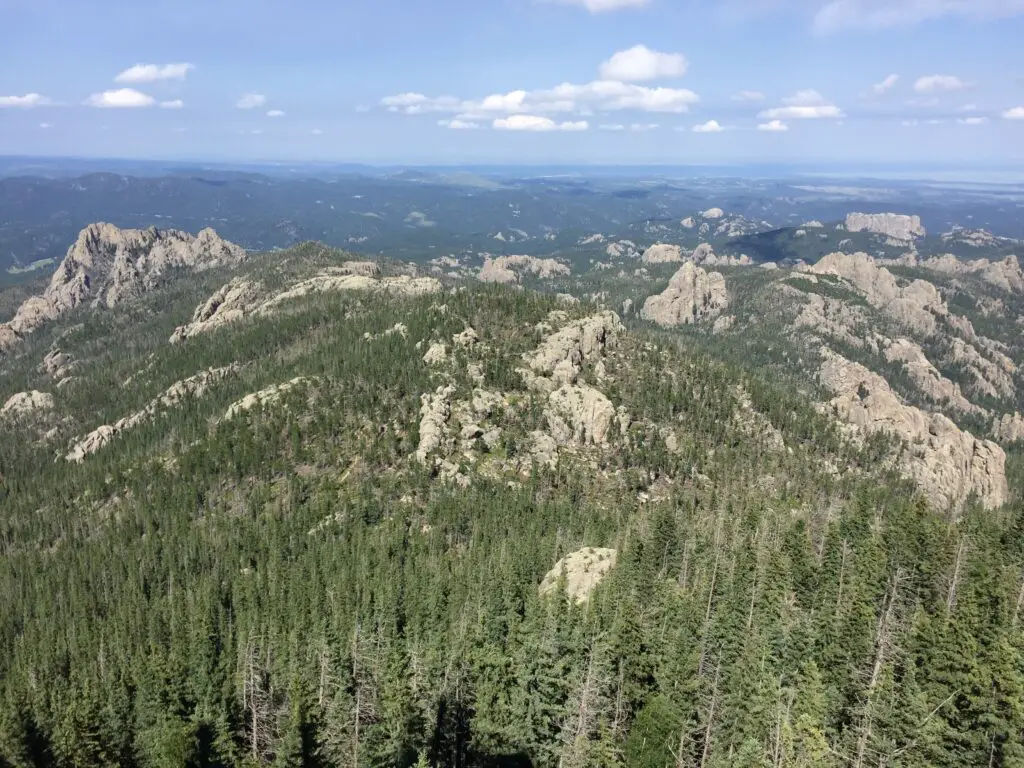
View from above overlooking an expanse of grey, rocky mountains covered in green pine trees. Lower mountains covered in trees and plains stretch to the horizon, all under a blue sky with puffy, white clouds.
The view from 7000+ feet high!

Much like the rest of the park, this route is the perfect place to see the wide variety of flora (plants) and fauna (critters) that call Custer State Park home.  These include mountain goats, bighorn sheep, deer (both whitetail and mule), elk, chipmunks, and the squirrels who will chatter at you along the way.  There are also coyotes, mountain lions, and bobcats, though you are less likely to see these shy animals. 

Harney Fire Tower

There is an incredibly picturesque fire tower at the top of the peak and to my knowledge, it still bears Harney’s name.  It was built in the 1930s and rumor has it the infamous burrows that can be spotted in other portions of the park are descendants of the pack animals who were used when the fire tower was in service.  The tower is no longer in operation, but it is still maintained and can be climbed!  For more info on the tower, click here!
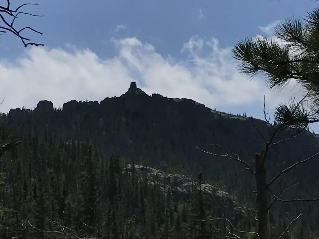
View from below: dark silhouette of a rocky, castle-like fire tower on top of a rocky, tree-covered mountain.
First glimpse of the Harney Fire Tower!

This trail is not “easy” but it is quite doable for almost any able-bodied hiker.  Plan to spend an entire day at Sylvan Lake and hiking the Black Elk Peak trail, it is most definitely worth that much time!  Enjoy the trail, appreciate the summit and the splendid beauty of the Black Hills that surround you.  This is a fun trek with incredible views and I would encourage anyone who has even the slightest interest in hiking to try it out!  You’ll be glad you did!

Have you enjoyed the “easy” hike up Black Elk Peak? Tell me about your experience in the comments! 


Did you enjoy this post?  Pin it!

View from above overlooking an expanse of grey, rocky mountains covered in green pine trees. Lower mountains covered in trees and plains stretch to the horizon, all under a blue sky with puffy, white clouds. Pin reads, "Hiking Black Elk Peak Trail #9: the Easy Way."


Like what you read here today?  Please feel free to leave a comment, like or share this post!  Add your email at the bottom of the page, or the sidebar to the right, to be notified when a new post is published.  By signing up for the email list, you will also receive a free copy of the Tranquil Trekker’s Top 10 Tips of Trekking Do’s and Don’ts!

You can also follow the blog on social media by clicking the links below!
Facebook

Twitter

Instagram

Pinterest

Grizzly Bear Creek Trail in the Black Hills

In this post, I review the Grizzly Bear Creek Trail which is located in the Black Elk Wilderness near Custer State Park!


I’ve mentioned before how much I enjoy hiking in the Harney Range and the Black Elk Wilderness area of the Black Hills.  Well, the Grizzly Bear Creek Trail is one of my favorite routes in that locale.

Because this trail is located in the wilderness area, it isn’t maintained as much as the surrounding national forest.  There isn’t a lot of logging here and ranchers aren’t able to use this land to graze their herds, so you don’t have to worry about the “leavings” of cows.  There also aren’t any people living nearby.  Therefore, it’s really just left to Mother Nature.  It’s natural, beautiful, and rugged.

What will you see on the Grizzly Bear Creek Trail?

This path is interesting because it doesn’t really “go” anywhere, per se.  It’s really just a connector trail that meanders through the lower-lying areas of the Black Elk Wilderness.

This trail isn’t one of the more popular ones in the Black Hills so it’s rarely busy, no matter the time of year.  It also tends to be VERY pretty, as it traverses canyons and valleys.  A bubbling creek also accompanies you along much of the route’s length, which makes a pleasant accompaniment to your hike.  It usually has water in it which can be rare in this part of the country (many local waterways dry up at certain times of the year).

The constant presence of water means this is a more verdant part of the Hills in regards to foliage and it’s a beautiful and colorful area to visit during the fall.  This is also one of the easier trails found locally, with just simple, rolling hills to challenge you.  In addition to the lovely foliage, you will also be treated to views of the towering spires and imposing rock walls created by the granite the Black Hills is known for.

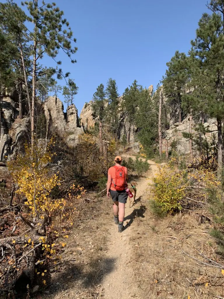
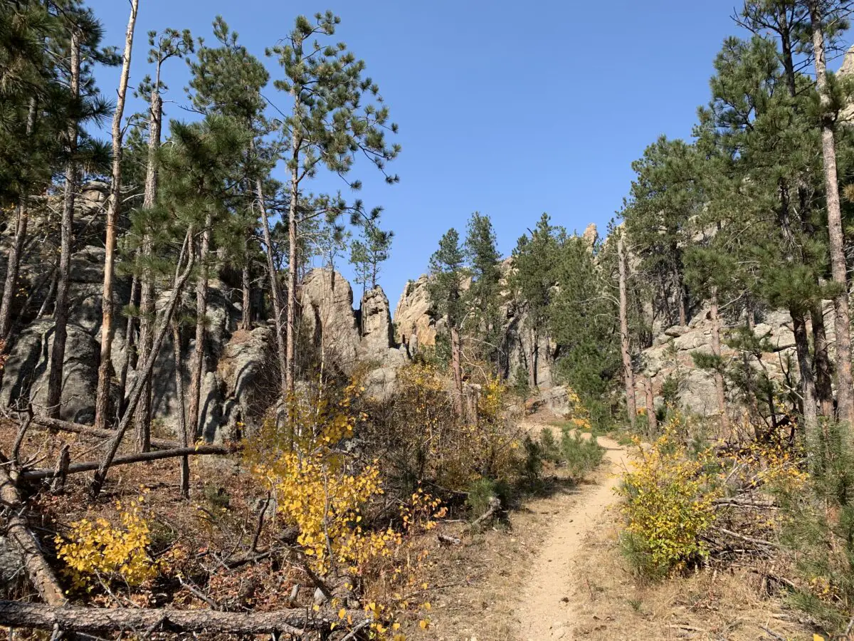
Rear view of a woman and dog walking on a dirt path that meanders through green, pine trees, yellow-leafed plants and rock towers, all under a clear, blue sky.
Puppers and I enjoying the trail!
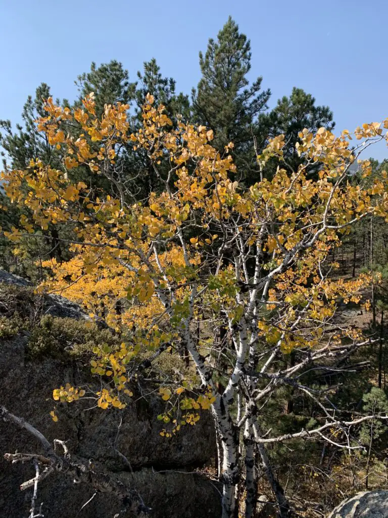
Yellow leaves on a tree with green, pine trees behind it
The aspen trees were lovely!

Where is the Grizzly Bear Creek Trail?

The Grizzly Bear Creek Trail does have a trailhead of its own.  You will find it off of Forest Road 345 after it branches off of State Route 87 (also called the Needles Highway) in the northern portion of Custer State Park.  As it is a connector trail you can also access it from a number of other routes in the Black Elk Wilderness, including the Black Elk Peak Trail (formerly the Harney Trail), the Centennial, the Horsethief Lake, and the Norbeck Trails.

How long is the Grizzly Bear Creek Trail?

The trail is about 13 miles in total length.  If you just want to hike portions of the route, you can do out-and-back treks, or you can connect this path with several other trails in the local area to make a variety of loops.  These can be shorter, day hikes or longer, multi-day backpacking trips.  All of them make for a great way to see the rugged beauty of the higher elevations of the central Black Hills.

Related posts:  Great Hikes in the Black Elk Wilderness; Black Hills Blackberry Trail, near Mt. Rushmore

When is the best time of year to hike the Grizzly Bear Creek Trail?

While the Grizzly Bear Creek trail can be enjoyed at any time of the year, the warmer months are a better time to access it.  It would be beautiful in the winter, though it would be difficult to get to the trailhead as neither the forest road nor the Needles Highway is maintained during the snowy season.  As this is one of the highest elevation areas in the Black Hills, you should also expect to encounter, potentially, feet of snow throughout much of the winter.

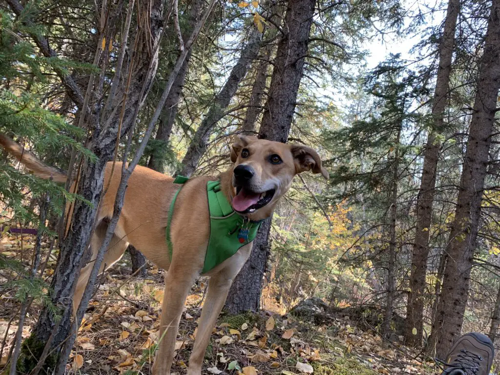
A dog pants while standing in the forest on dirt and downed, brown leaves.
This trail is Puppers approved!

Because you are so close to the creek for much of the trail’s route, there are also a number of water crossings along its length.  You should be prepared for this and have either waterproof shoes or footwear you don’t mind getting wet.

Some of the crossings have rocks you can hop across, though the availability of these will depend on the depth of the water, which can vary greatly throughout the year.  These stones can also become mossy and slippery so you should use them with caution.

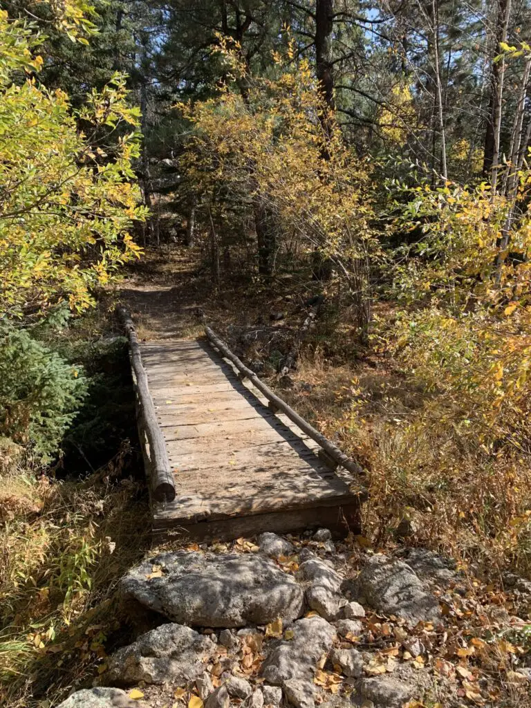
A wooden footbridge crosses a small, dry creek, surrounded by fall-colored trees and leaves in the woods.
A bridge across the creek!

If you’re looking for a less-traveled but beautiful hike in the Black Hills, check out the Grizzly Bear Creek Trail!

Have you ever hiked this trail?  What did you think?  Tell me about it in the comments!


Did you enjoy reading this post?  Pin it!

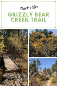
3 pictures: 1) A wooden footbridge crosses a small, dry creek, surrounded by fall-colored trees and leaves in the woods; 2) Yellow leaves on a tree with green, pine trees behind it; 3) A dirt path that meanders through green, pine trees, yellow-leafed plants and rock towers, all under a clear, blue sky. Pin reads, "Black Hills Grizzly Bear Creek Trail"


Like what you read here today?  Please feel free to leave a comment, like or share this post!  Add your email at the bottom of the page, or the sidebar to the right, to be notified when a new post is published.  By signing up for the email list, you will also receive a free copy of the Tranquil Trekker’s Top 10 Tips of Trekking Do’s and Don’ts!

You can also follow the blog on social media by clicking the links below!
Facebook

Twitter

Instagram

Pinterest

Black Hills Blackberry Trail, near Mt. Rushmore

In this post, I review the Blackberry Trail in the Black Elk Wilderness!


The Blackberry Trail is a great hike into the Black Elk Wilderness.  This trail is fairly unknown, which is ironic because it sits directly across from one of the biggest tourist spots in the Black Hills, Mount Rushmore!

Where is the Blackberry Trail in the Black Hills?

The Blackberry trailhead is found in an old gravel parking area (that is sometimes roped off) directly across the road from Mt. Rushmore.

If the gravel parking area is roped off, you can actually park in the Mt. Rushmore parking deck. (This means you will have to pay the parking fee at the site. It used to be that once you bought a pass it was good for a year.  Now it’s only good for the day. 😛–Insert rant here, from Mr. Trekker, about the evil, automated kiosks they installed to replace humans 😂.)

We had interesting weather the day we trekked this trail, typical of spring in the Black Hills.  It was windy, with precipitation varying between light rain, heavy snow showers, and pelting mini-ice balls!  This was all mixed in with blue sky and warm sun, and we experienced all of these conditions within about 30 minutes of each other! 😛

Bring Extra Clothes when Hiking

As we were navigating the route, Mr. Trekker proved why you always bring extra supplies along, especially a change of socks!  You never know when you’re going to slip off a mossy rock and fall knee-deep into a swollen creek!

(I can’t make fun of him too much, he was actually trying to find an easy way across so he could then help me across. 😳  Of course, if he had listened to his wife and taken the route I suggested in the first place…😉.)

The water level seemed much higher than usual, as many of these creeks are just suggestions in drier times.  With the recent snowmelt and wet conditions of spring, the local waters were definitely running higher than normal.

What you’ll see on the Blackberry Trail

This is an absolutely GORGEOUS trail!  While it does climb the majority of the way, the route undulates through the hills and beautiful canyons that are common in the Black Hills National Forest.  There were a few lengthy, steep spots, but for the most part, they didn’t become overbearing.  The first half mile or so of the trail actually runs downhill. (You know what that means for the return trip!  Everyone loves a good, uphill climb to finish! 😛)

We did an out-and-back trek, taking the Blackberry Trail south to where it meets up with the Centennial Trail (just in the last few years, this portion of the route earned the classification of a National Recreation Trail.)  Then we took the Centennial Trail south, to its junction with the Grizzly Bear Creek Trail, which I discuss in this post.

I’m not sure why it’s called Grizzly Bear Creek. There may be been grizzlies in this area at one time, but that was MANY years ago (we’re talking centuries. 😛)

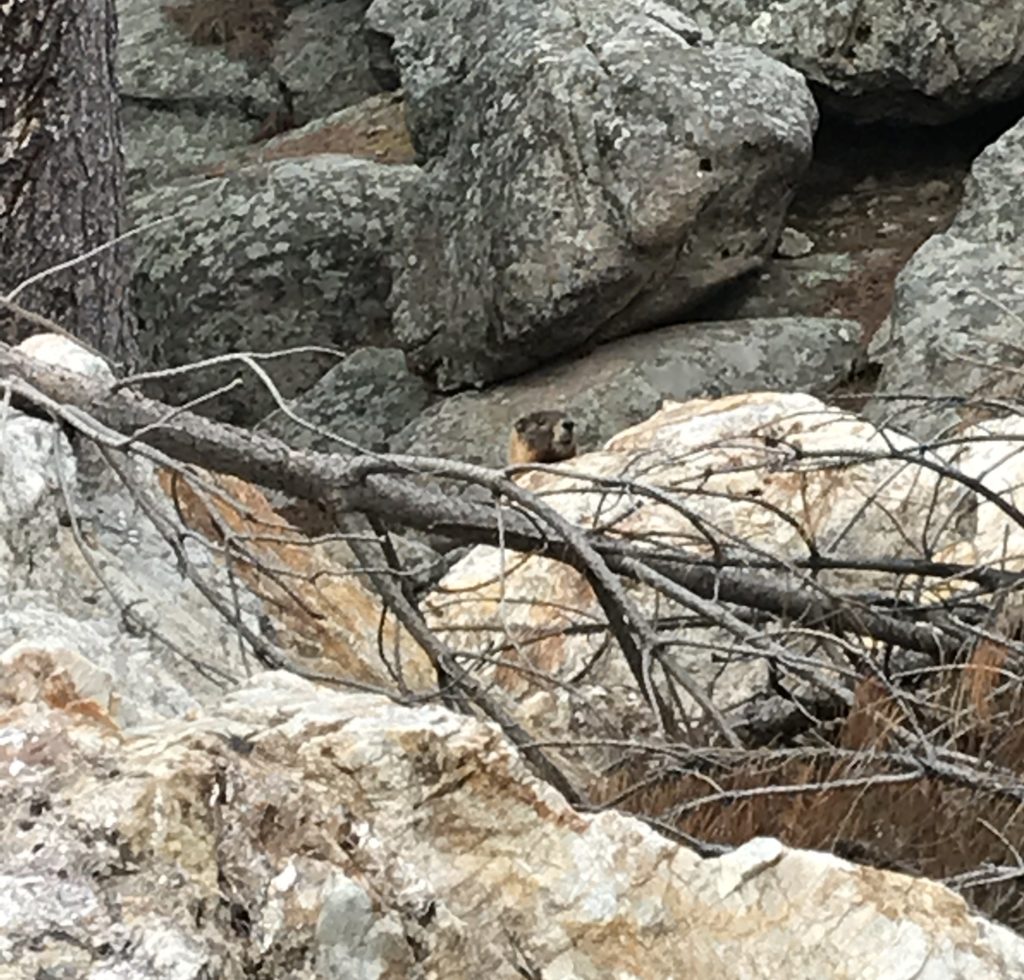
A portion of the way, the path runs along with Grizzly Bear Creek, which helps to make it so picturesque.  There were numerous water crossings and very few bridges throughout the trek.  Again, in drier times of the year, this may not be an issue, but I would recommend wearing either waterproof hiking boots or sandals you don’t mind getting wet if you’re planning to tackle this hike.  Also, be on the lookout for mountain goats and marmots, as they tend to frequent this area!

A marmot peaks it's head over some boulders
Marmot!
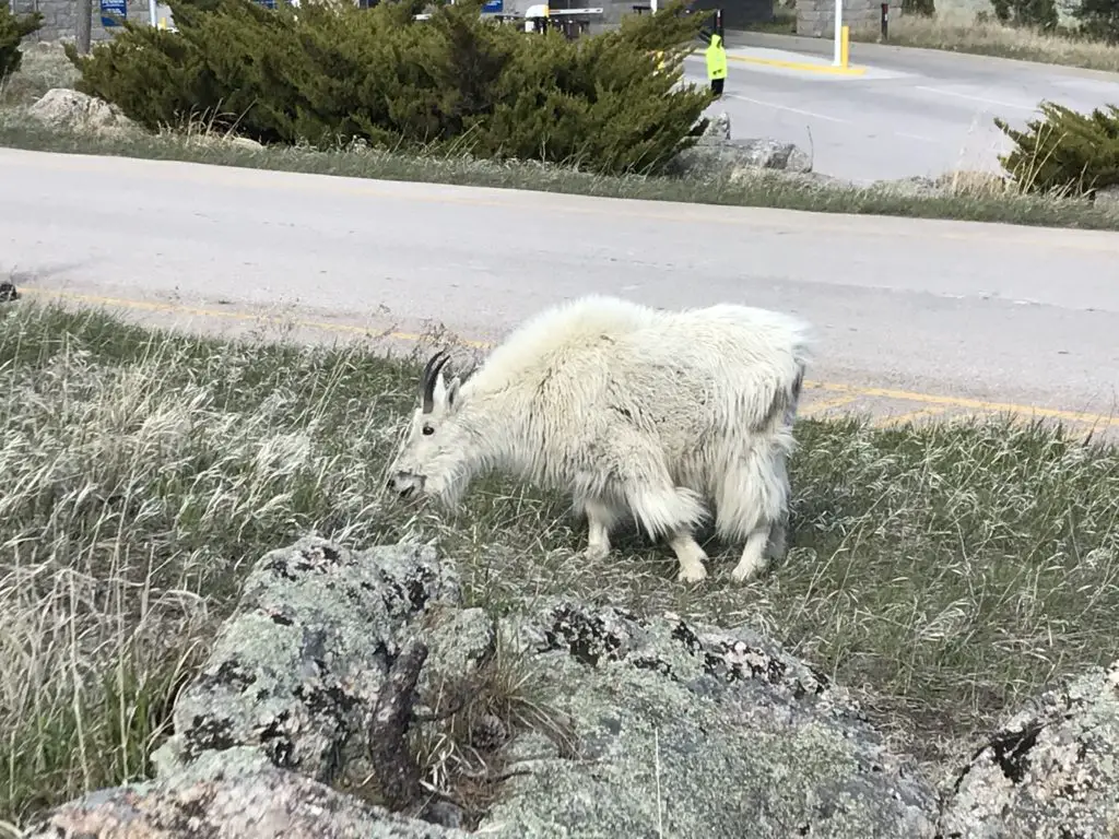
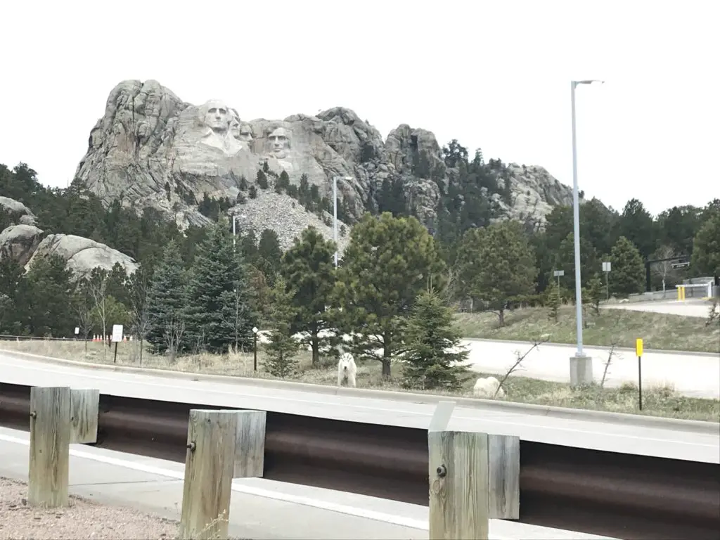
Mountain goal eating grass on the side of the road
You see these guys A LOT at Mt. Rushmore!
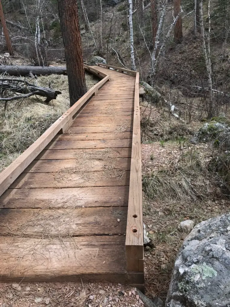
A boardwalk traverses the forest floor
One of the only bridges we encountered. It was quite picturesque!

How Long is the Blackberry Trail?

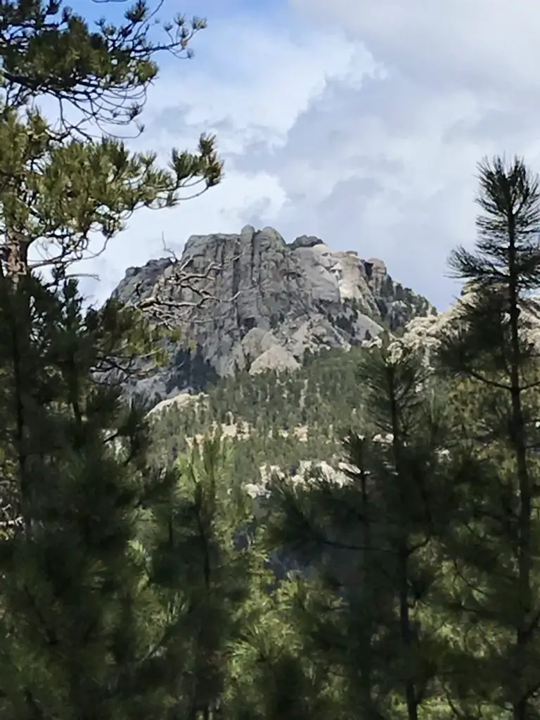
This route was about eight miles, out-and-back.  Not a bad day’s hike for us, though you could easily make it shorter or longer, to suit your tastes. Depending on how adventurous you are, this is a great area for backpacking, as it would allow you more time to fully explore the various trails that wander through the Black Elk Wilderness Area.  One other unique thing about this trail is that it offers cool views of Mt. Rushmore along the way!

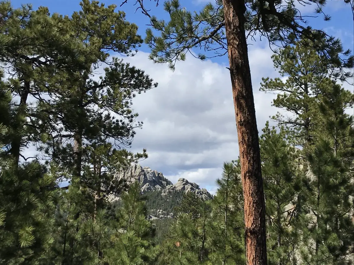
Mt. Rushmore as seen through a break in the trees

Harney Range in the Black Hills National Forest

I know I’ve mentioned it in the past, but I LOVE hiking in the Harney Range.  The granite mounds and spires that are frequently found throughout the area give the region its own, unique flair.  The Ponderosa Pines that grow here allow a lot of light through their branches.  Also, the drier conditions (usually) found in the Hills lend themselves to little or no undergrowth on the forest floor. This means, even in the midst of the forest, you can actually see for quite a distance.

This is pretty unique compared to many forests we’ve visited.  Some areas of Colorado and Wyoming are similar, but these definitely contrast with forests that you find in many other parts of the country.  Most of those are comprised of dark, foreboding woods with trees so thick it’s hard to see between them.  Even in North Carolina, with the almost-tropical plants and ferns that covered the forest floor, it was easy to lose the trail.

There are all sorts of trails winding around the Black Elk Wilderness.  These aren’t the big trails that all the tourists hear about throughout the Wilderness Area and Custer State Park, though many of these do connect with the better-known trails, such as Black Elk Peak Trail, Trail #9 (formerly the Harney Trail) or the Cathedral Spires/Little Devil’s Tower Trails.

But if you’re looking for a nice, afternoon jaunt through the woods on a warm day, these are perfect.  Because they aren’t as well known, they tend to be far less crowded.  They aren’t overly difficult either.  I would give the majority of these side trails a moderate rating, with some strenuous spots.  They are sometimes single-track, rather than wide and graded, and you do have to watch for roots and rocks that you may need to clamber over or around.  But there aren’t any large, rocky areas that need to be navigated.

More pics from our day on the Blackberry Trail!

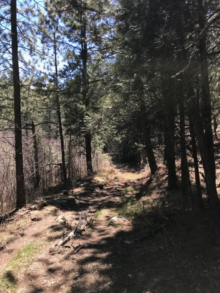
A dirt hiking trail forms a tunnel between the trees
I LOVE “tunnels”!
Mountain goats on the side of the road with Mt. Rushmore in the background
Our “Greeter” at Mt. Rushmore!

So the next time you’re looking for an interesting hike in the Black Hills, consider one of the lesser-known trails in the Black Elk Wilderness like the Blackberry Trail.  You may be surprised how much you enjoy these hidden gems!

Have you enjoyed this trail or do you have any questions on how to reach it?  Feel free to leave your experiences or any questions in the comments!


Did you enjoy this post?  Pin it!

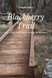
A boardwalk in the woods with the title "Blackberry Trail"

Like what you read here today?  Please feel free to leave a comment, like or share this post!  Add your email at the bottom of the page, or the sidebar to the right, to be notified when a new post is published.  By signing up for the email list, you will also receive a free copy of the Tranquil Trekker’s Top 10 Tips of Trekking Do’s and Don’ts!

You can also follow the blog on social media by clicking the links below!
Facebook

Twitter

Instagram

Pinterest