Black Elk Peak trail (Trail #9) is one of the most popular hikes in the entire Black Hills. It summits Black Elk Peak, which is the tallest peak in the Hills (at over 7000 feet in elevation) and it is also the tallest mountain in the entire country east of the Rockies!
In this post, I am reviewing the route that traverses the south side of the mountain. This is the easiest way up Black Elk Peak. You can also attempt Trail #9 from the north. For a review of that trail, which is only lightly traveled and is FAR more strenuous than the southern route (in my opinion it is one of the hardest trails in the entire Black Hills) click here.
Where is the Black Elk Peak Trailhead?
The trailhead is located within Custer State Park. It is adjacent to the picturesque Sylvan Lake. You can reach it from the east side of the main parking lot at the lake, which is found just off of Route 87.
When is the best time of year to hike the Black Elk Peak Trail?
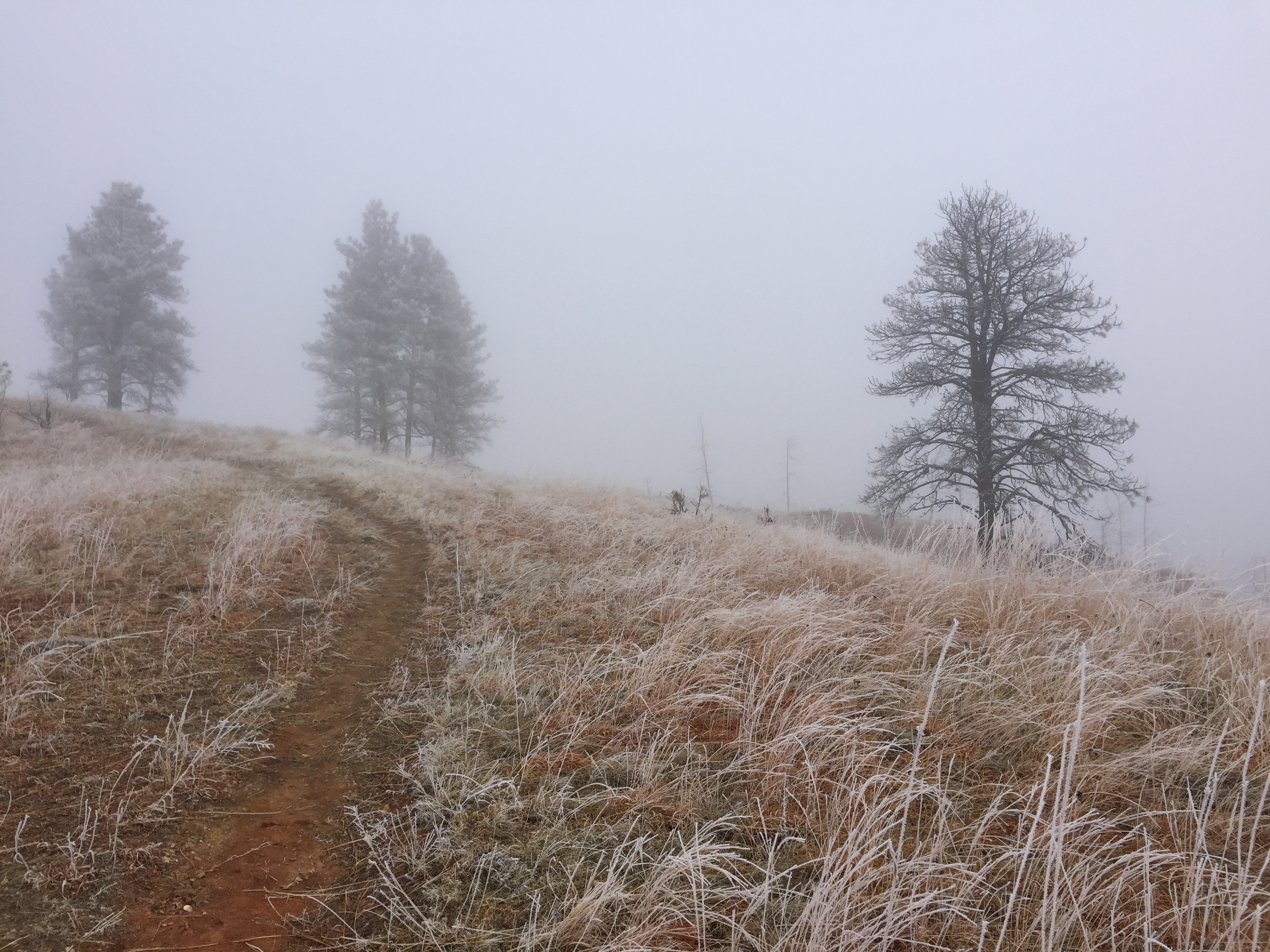
You can hike this trail any time of the year (weather-permitting that Route 87 is open so you can get to the trailhead). Always remember that because this is the highest portion of the Black Hills, it tends to get more snow than the surrounding areas and that snow tends to stick around longer.
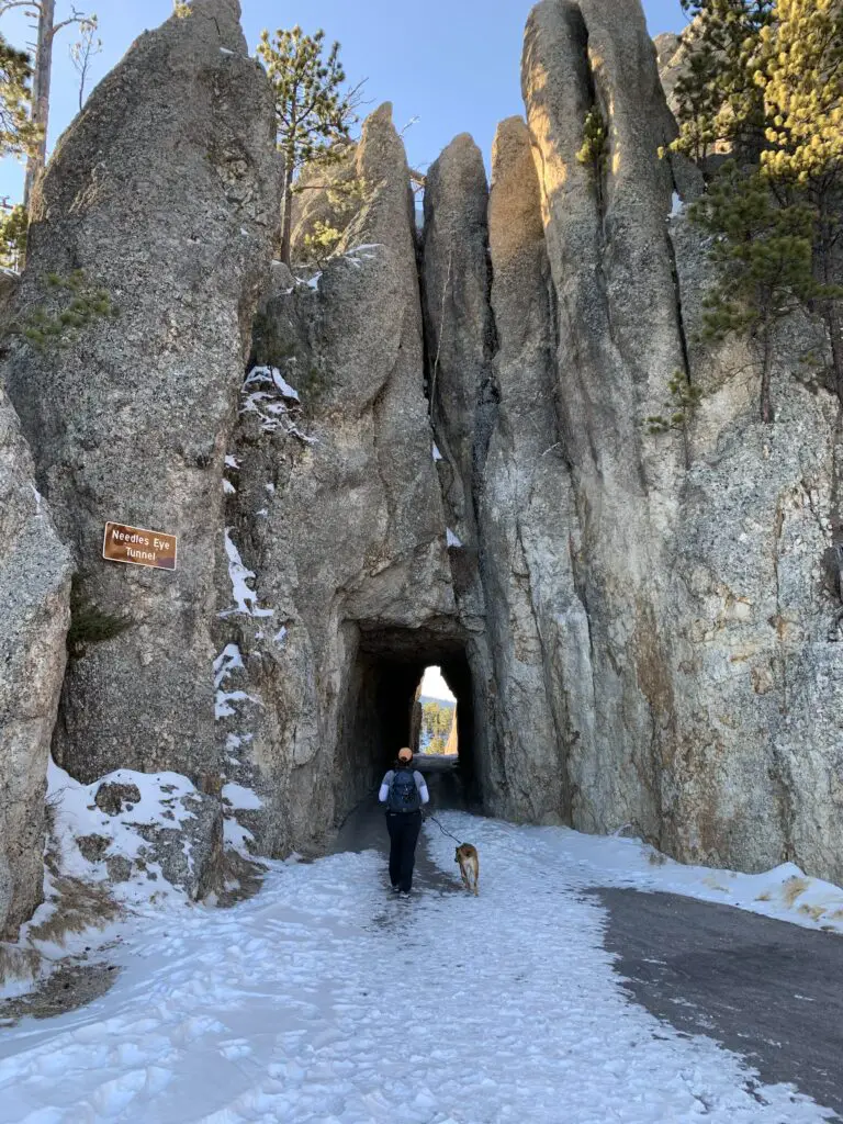
Also, this trail is VERY popular, even in the winter months, so the snow on it gets packed into very slippery ice. At a bare minimum, traction devices such as Yaktrax are a MUST during the snowy months.
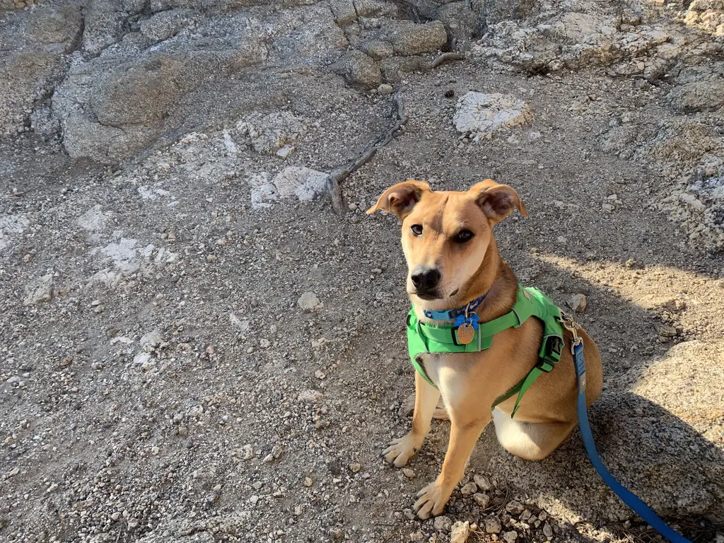
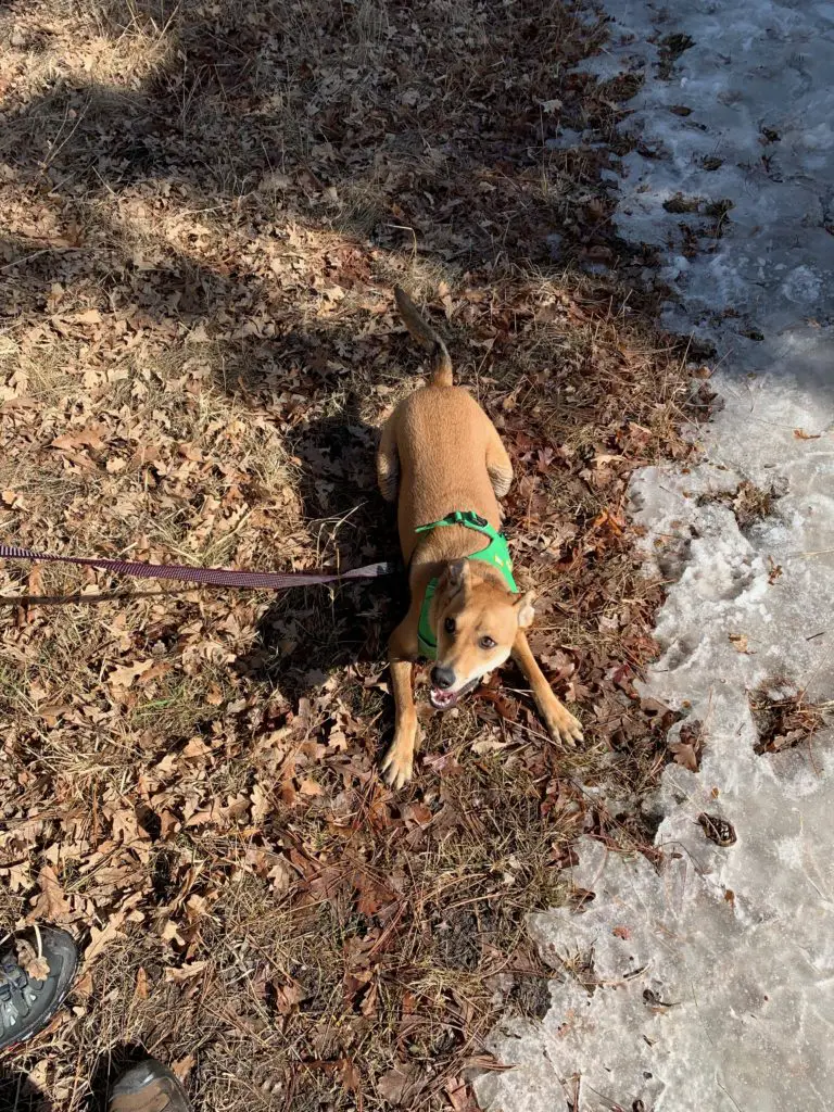
As with the majority of Custer State Park, you can take dogs on this trail. Please keep them leashed though. Unlike many other trails in the Black Hills, you should expect to have A LOT of company on your hike, at least during the busy season.
Black Elk Peak is the new name for Harney Peak
Black Elk Peak is located within the Harney range. The name of the mountain was changed from Harney Peak just a few years ago so many signs and maps still carry the old name. The new name honors Black Elk, a Lakota, Holy Man who died in 1950. The wilderness area that the peak is located within was named after him, as well.
*If you’re interested in learning more about this great man and the rich, Lakota culture, check out the book Black Elk Speaks by John Neihardt. Neihardt wrote this biography after interviewing Black Elk near the end of his life.
The Holy Man had an incredibly rich life filled with diverse experiences. These ranged from growing up in a nomadic tribe on the South Dakota Plains to traveling the world with the Wild Bill Hickok Wild West show! Black Elk was even at the Battle of Little Bighorn where General Custer was killed. In the book, he discusses how everything changed when “the yellow metal that makes white men crazy”–-his name for gold–was found in the Black Hills.
What is the Black Elk Peak trail like?
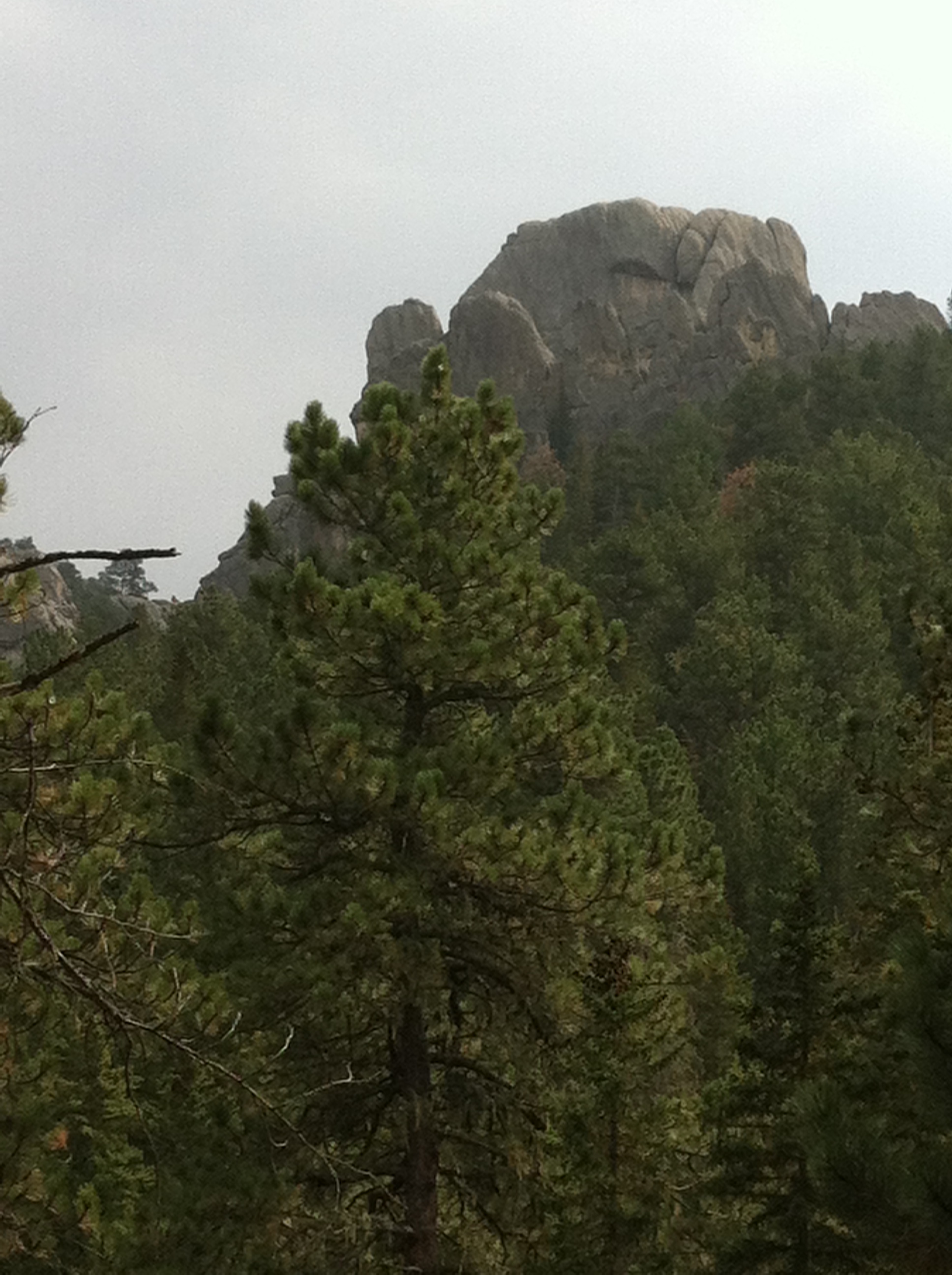
The trail is quite wide and graded, with very little rock-scrambling required (until you get to the summit). Due to this, I would give it a rating of Moderate.
The only things that make this trail difficult are the length (it’s over seven miles long, out-and-back, and can easily take 4 – 5 hours to complete) and it sits at a high altitude. Throughout the entire hike you never drop below 6000 feet, so expect to feel the lower oxygen levels present at this higher elevation. You will get out of breath and tired more quickly and you may feel dizzy (or like your head is “swimming”.)
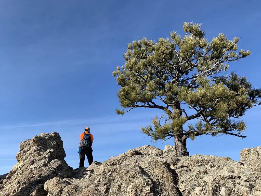
The summit can be a little daunting. As with much of the rest of the Black Hills this area is left primarily to nature. There are very few fences or barriers between you and the cliff edges that surround the summit of the mountain. If you are responsible you can very safely enjoy this site. Just be watchful with small children and pets.
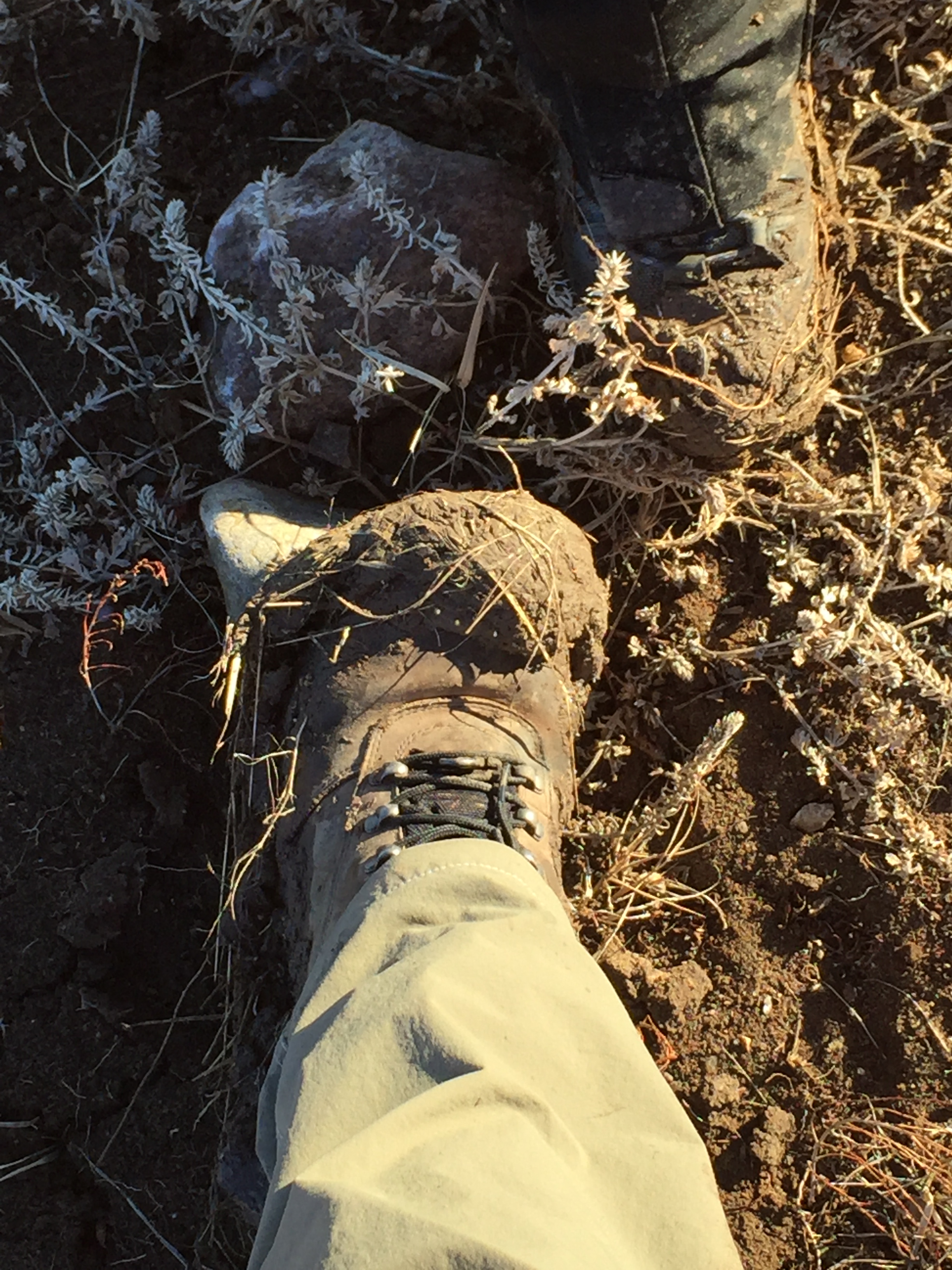
All that being said, this trail is family-friendly as long as you know your limits and take your time. I would recommend hiking boots (or at least sturdy shoes) for this hike but I’ve seen people do it in simple sneakers and even flip-flops or sandals. 😮
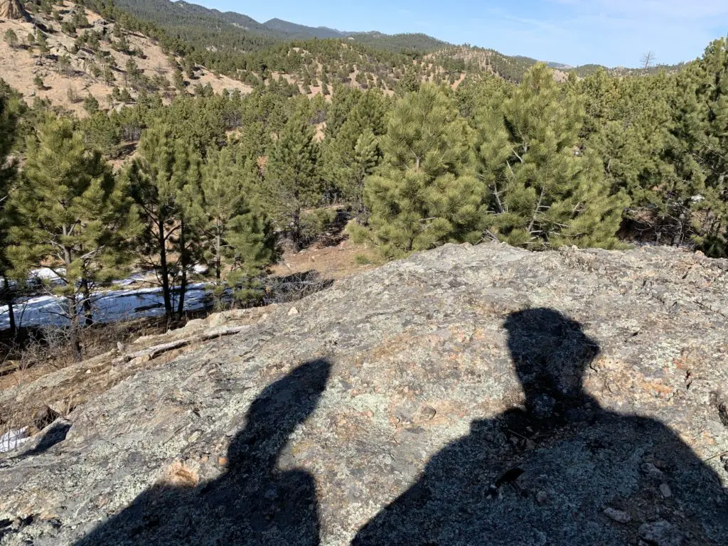
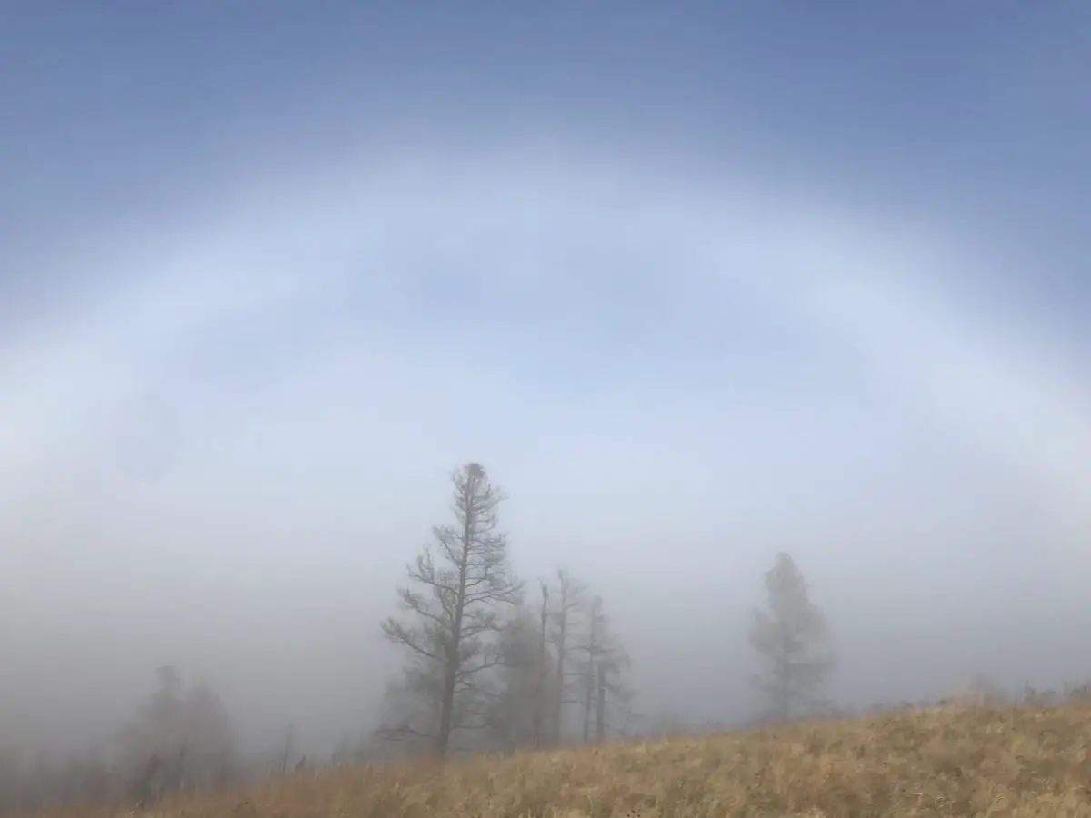
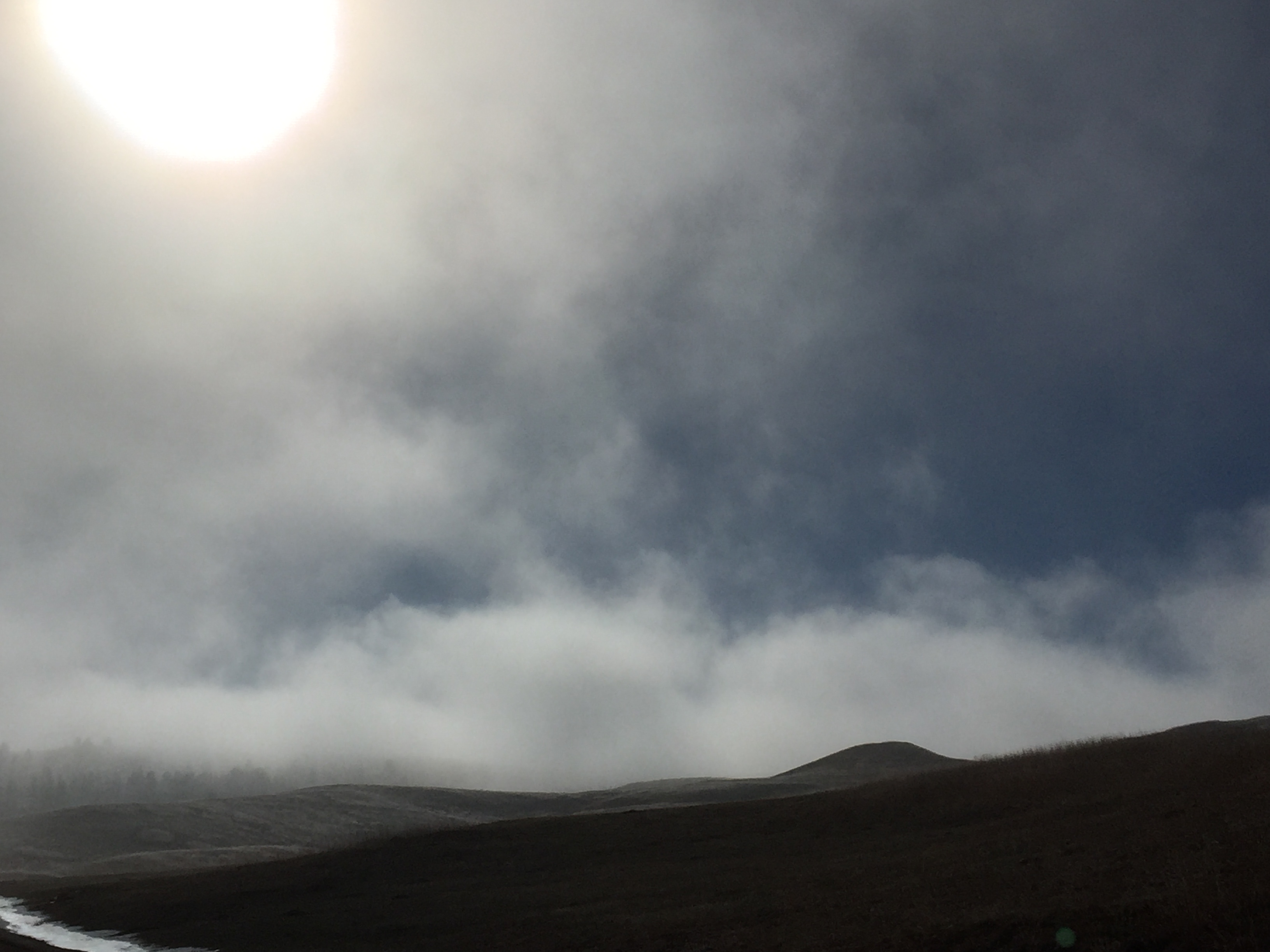
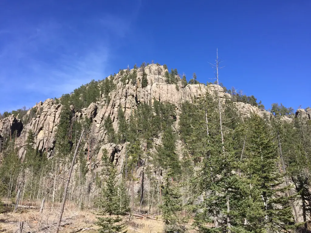
The other concern here is the weather. It can change incredibly quickly. It can also be drastically different here than the lower elevations in the rest of the park or the surrounding countryside. The peak is solely made of granite rock, there are no trees for shade or protection.
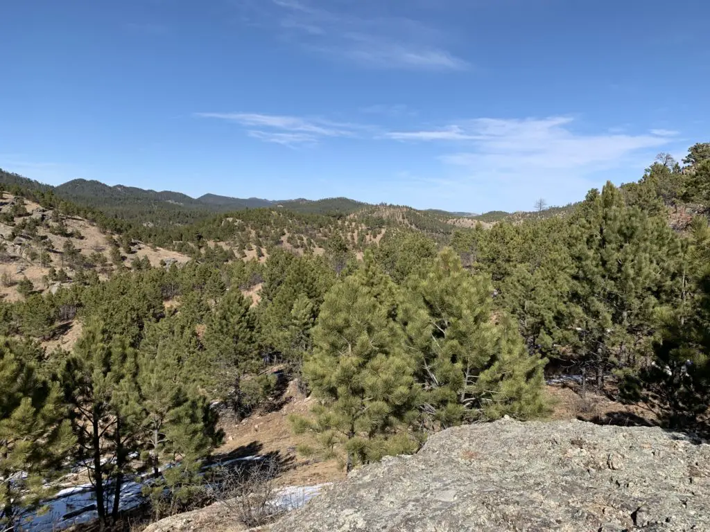
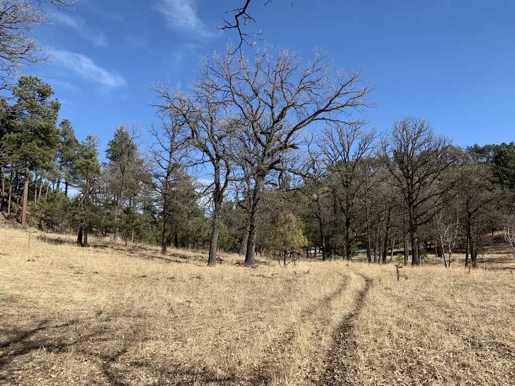
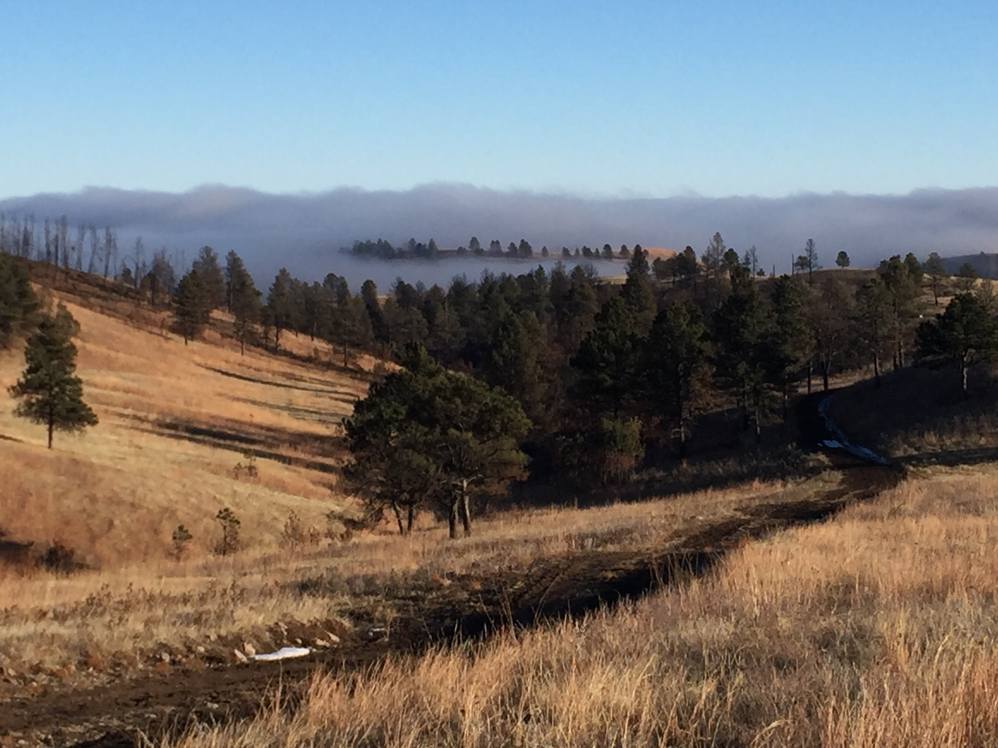
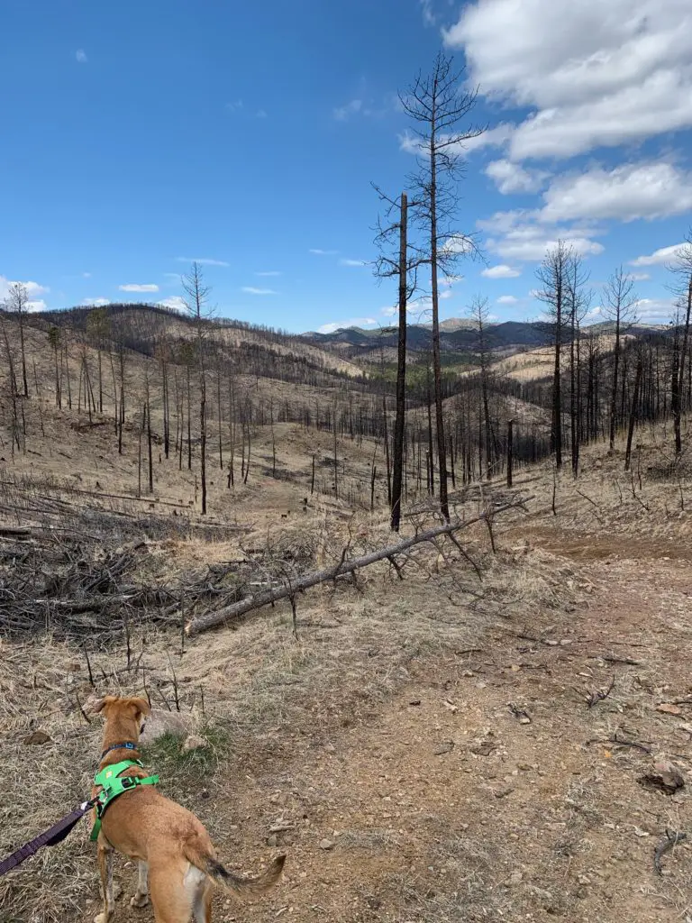
While the hike does meander through the Black Hills National Forest, this portion of it was decimated by the pine beetle epidemic just a few years ago so there are many areas that were left bare of trees. So don’t expect a lot of shade to hide you from the sun in the summer.
There is also little protection from the wind. If a thunderstorm pops up while you’re on the mountain (which can frequently be expected during the afternoon in the summer months) you should immediately trek back down the trail and get to an area with more trees and protection!
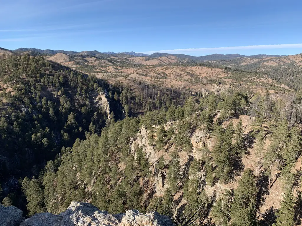
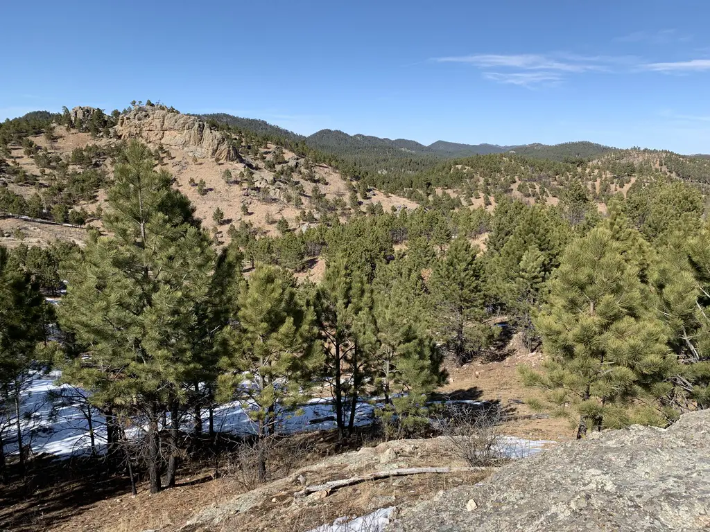
What will you see on the Black Elk Peak Trail?
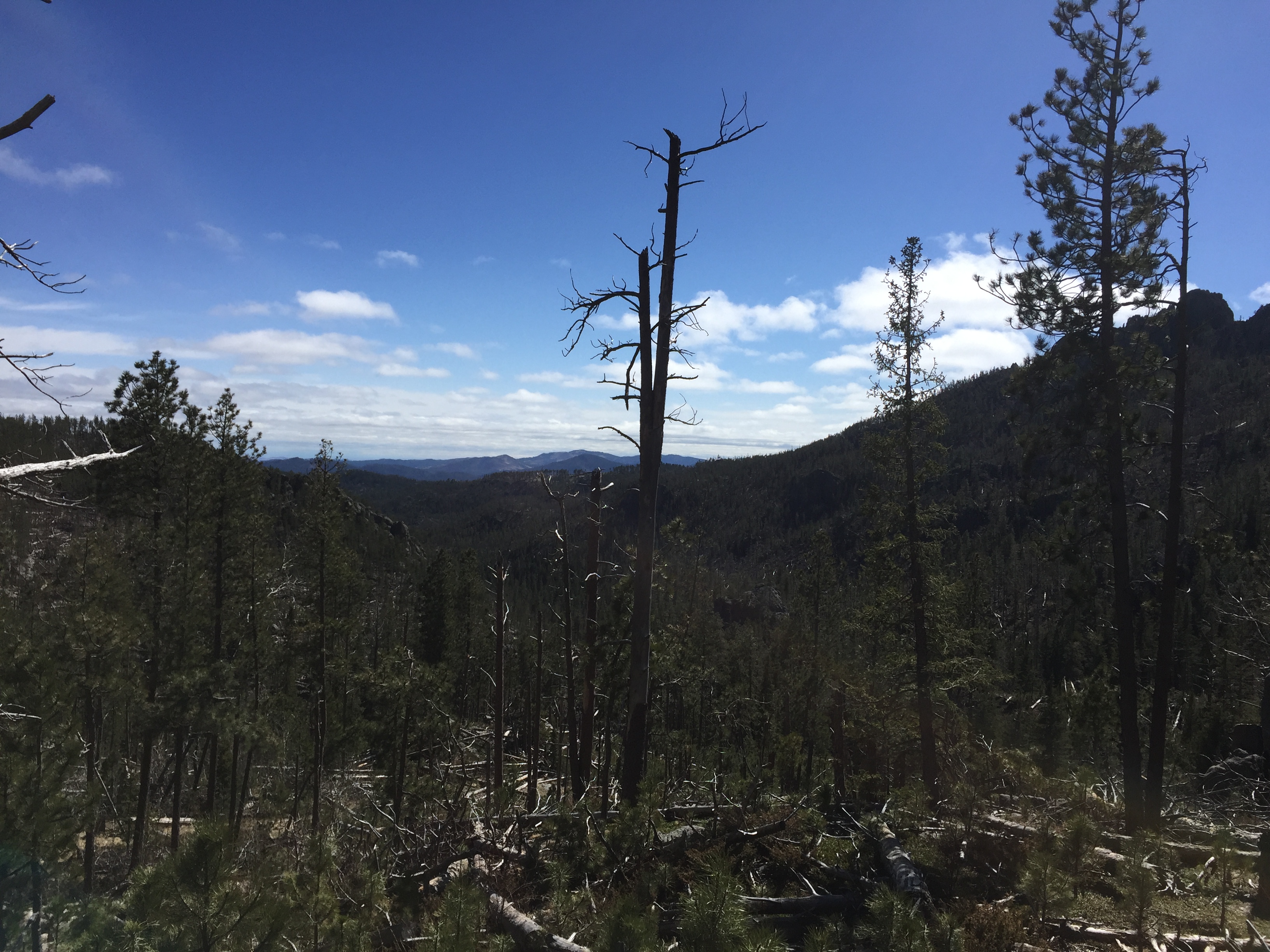
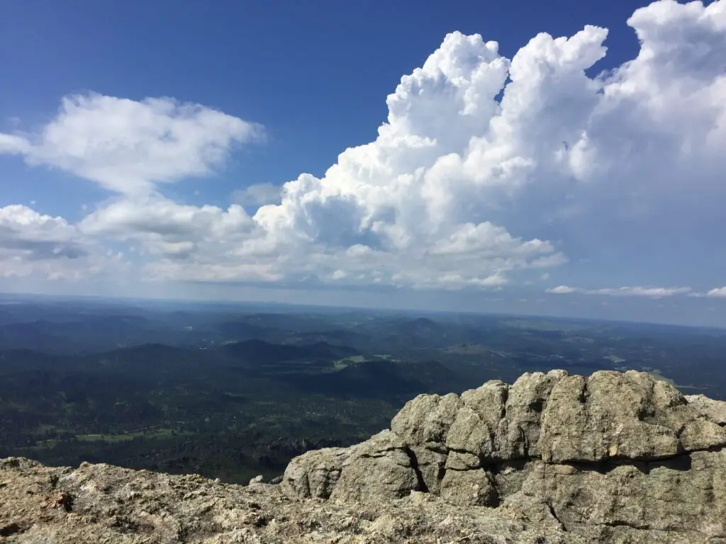
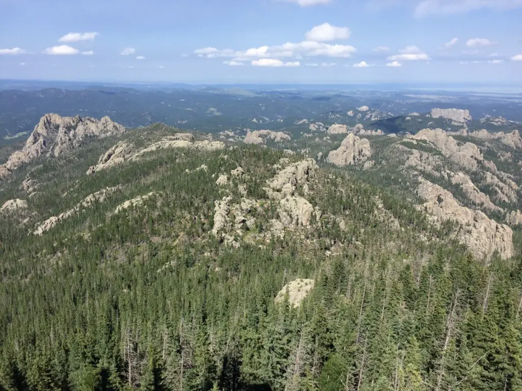
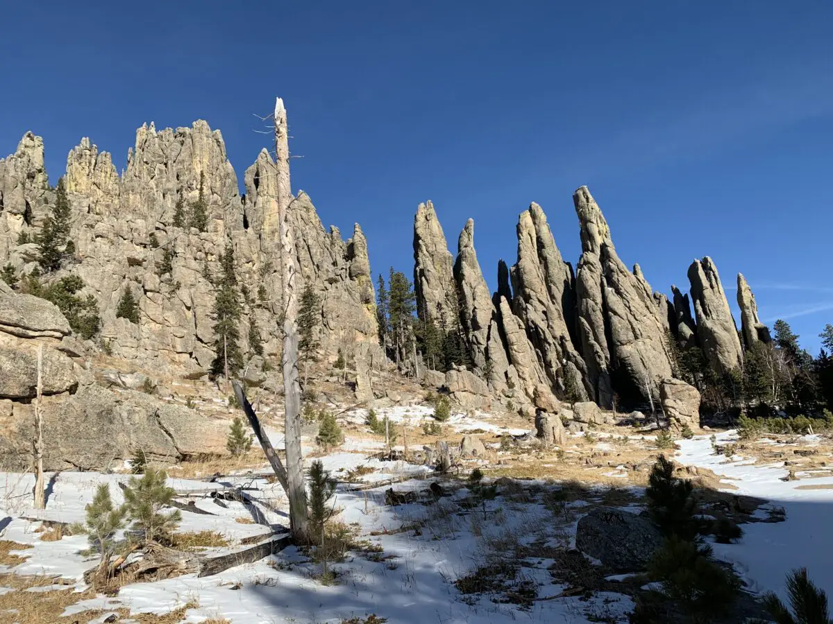
The panorama that greets you at the summit is unrivaled anywhere in the Black Hills (you’re taller than everything else so there is nothing to block your view! ) We are talking a 360-degree vista of the entirety of Custer State Park, the town of Custer to the south, Rapid City to the north, and the plains that spread to the east of town! On clear days you may also be able to spot the Badlands, which is almost 100 miles to the east (bring your binoculars!)
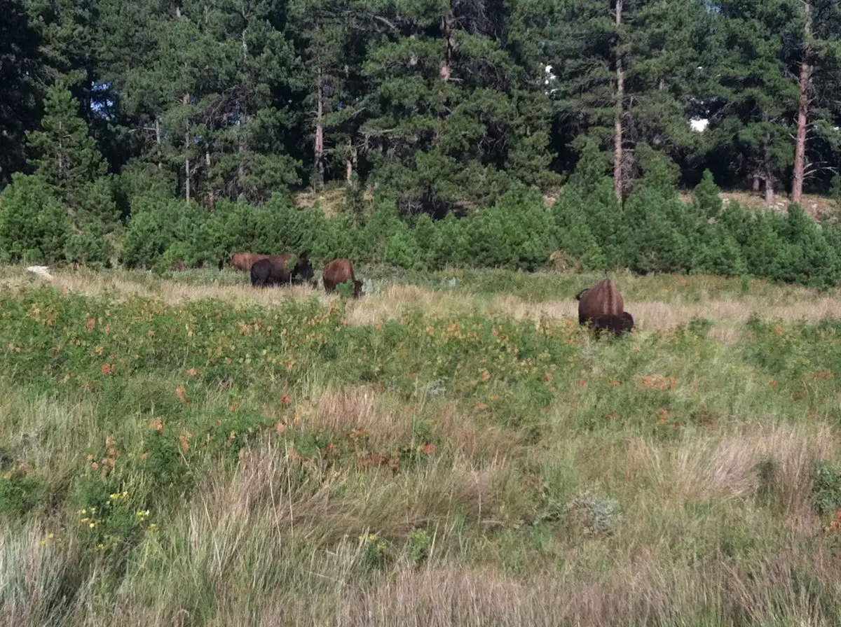
Much like the rest of the park, this route is the perfect place to see the wide variety of flora (plants) and fauna (critters) that call Custer State Park home. These include mountain goats, bighorn sheep, deer (both whitetail and mule), elk, chipmunks, and the squirrels who will chatter at you along the way. There are also coyotes, mountain lions, and bobcats, though you are less likely to see these shy animals.
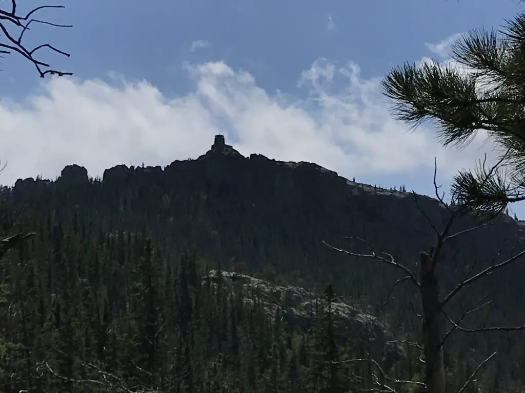
Harney Fire Tower
There is an incredibly picturesque fire tower at the top of the peak and to my knowledge, it still bears Harney’s name. It was built in the 1930s and rumor has it the infamous burrows that can be spotted in other portions of the park are descendants of the pack animals who were used when the fire tower was in service. The tower is no longer in operation, but it is still maintained and can be climbed! For more info on the tower, click here!
This trail is not “easy” but it is quite doable for almost any able-bodied hiker. Plan to spend an entire day at Sylvan Lake and hiking the Black Elk Peak trail, it is most definitely worth that much time! Enjoy the trail, appreciate the summit and the splendid beauty of the Black Hills that surround you. This is a fun trek with incredible views and I would encourage anyone who has even the slightest interest in hiking to try it out! You’ll be glad you did!
Have you enjoyed the “easy” hike up Black Elk Peak? Tell me about your experience in the comments!
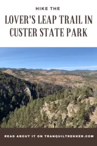
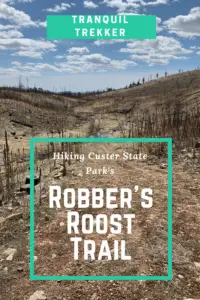
Did you enjoy this post? Pin it!
Like what you read here today? Please feel free to leave a comment, like or share this post! Add your email at the bottom of the page, or the sidebar to the right, to be notified when a new post is published. By signing up for the email list, you will also receive a free copy of the Tranquil Trekker’s Top 10 Tips of Trekking Do’s and Don’ts!
You can also follow the blog on social media by clicking the links below!
 This is found just past the turnoff for Sylvan Lake. (C

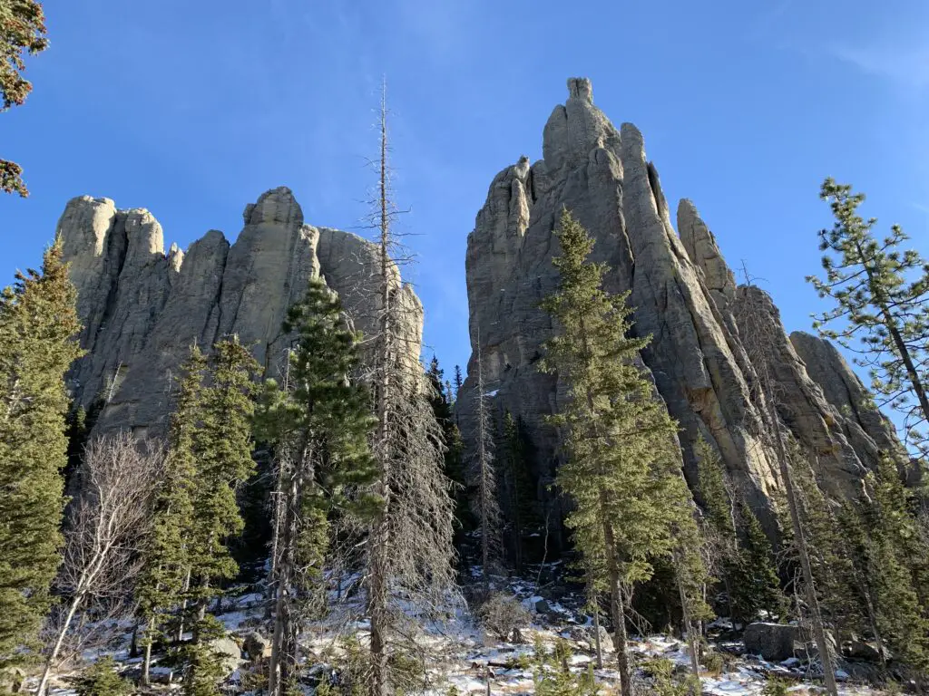
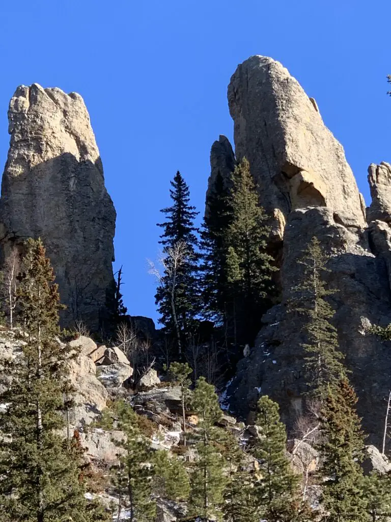
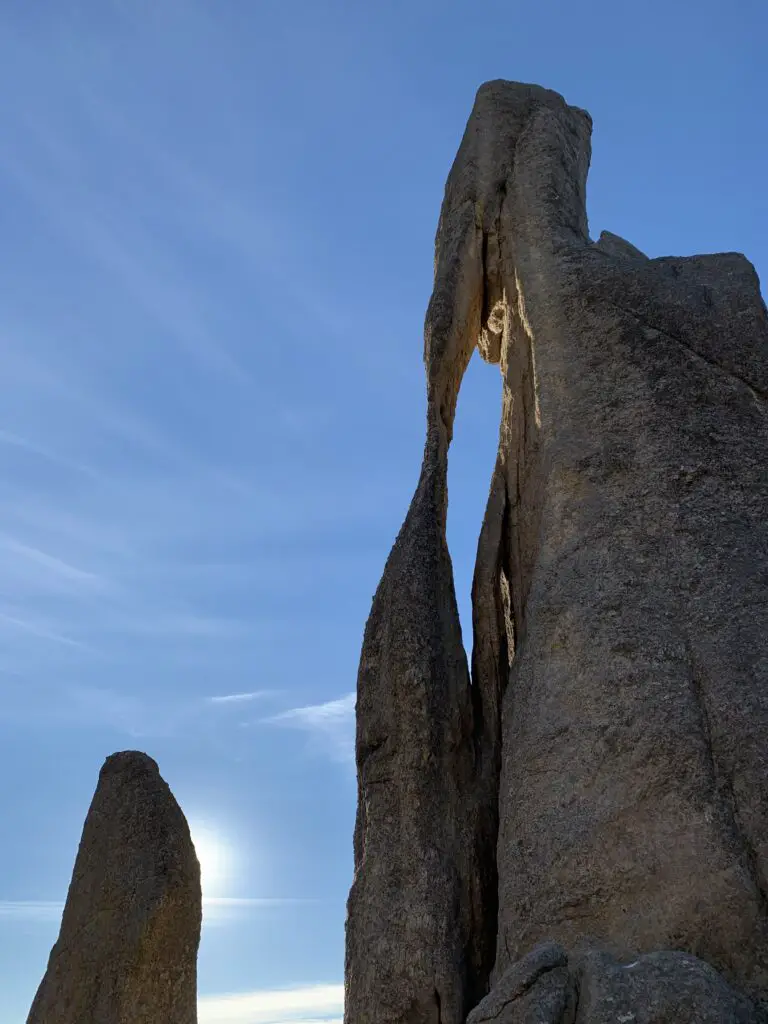
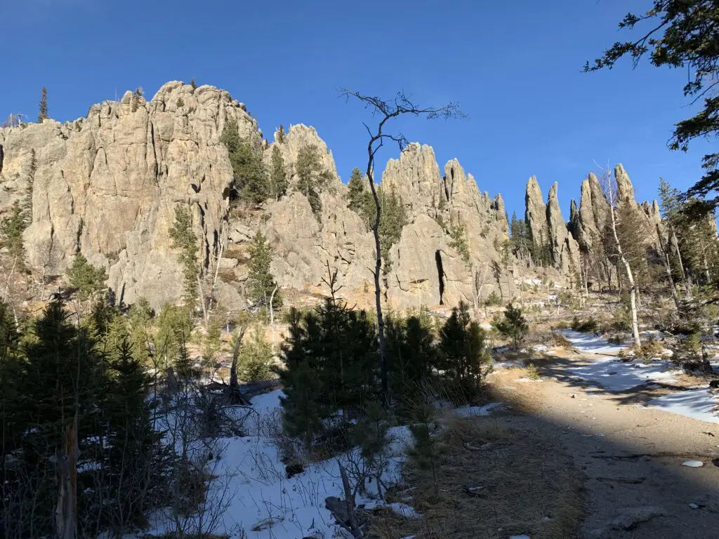 Needles Highway