While there are many great hikes in Custer State Park, one of my favorites is an awesome loop trail that connects the Cathedral Spires to the Little Devils Tower Trails and incorporates a portion of the Needles Highway.
You can do this loop any time of the year, but I suggest extreme caution if you try it in the summer. It includes either a lengthy overlanding stretch which requires scrambling over steep, unmarked terrain, or it means you have to walk along the narrow, CROWDED Needles Highway.
Where are the Little Devils Tower and Cathedral Spires trailheads?
You can reach both of these trails from the Sylvan Lake area, which is found off Route 87 in Custer State Park. Both are accessible throughout the year (weather permitting) though you can’t drive directly to the trailheads during the winter months. (You can access them via a spur trail from Sylvan Lake or other connector trails in the local area.) See below for directions to both trailheads:
Little Devils Tower Trailhead
 This is found just past the turnoff for Sylvan Lake. (Continue on Route 87 a little less than a mile south of the turnoff for the lake. You will see a sign for the trailhead on your left and will make a left-hand turn into the parking lot.)
You can’t reach this trailhead by car in the winter months as the road is closed in that area. In this case, you can access the Little Devils Tower trail via an easy spur trail that is located on the western corner of the main Sylvan Lake parking area.
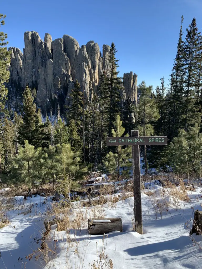
Cathedral Spires Trailhead
This trailhead can be found less than one mile south of the Needle Overlook on the Needles Highway (Route 87). (Note, this is south of the turnoff for Sylvan Lake.)
Extreme caution should be practiced in this area. The parking lot is small and is located at a bend in an extremely curvy and narrow portion of the Needles Highway. It is necessary to cross the road to reach the trailhead and in the summer this area is frequently crowded with traffic. The curves and rock walls can greatly reduce a driver’s visibility and cars are sometimes parked incorrectly, as well, further exacerbating the problem.
As the Needles Highway is closed in the winter, that time of year you can only access this trail by car if you do it via a connector trail (such as the Little Devils Tower trail).
What will you see on the Cathedral Spires/Little Devils Tower/Needles Highway loop?
The loop can be completed in any direction, or you can hike each section individually. The Trekkers find it easier to start at either Sylvan Lake and take the spur to the Little Devils Tower Trail or to just drive to that trailhead directly.
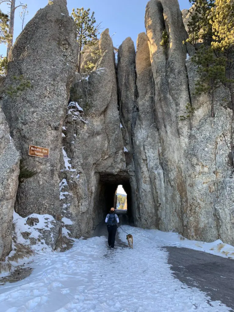
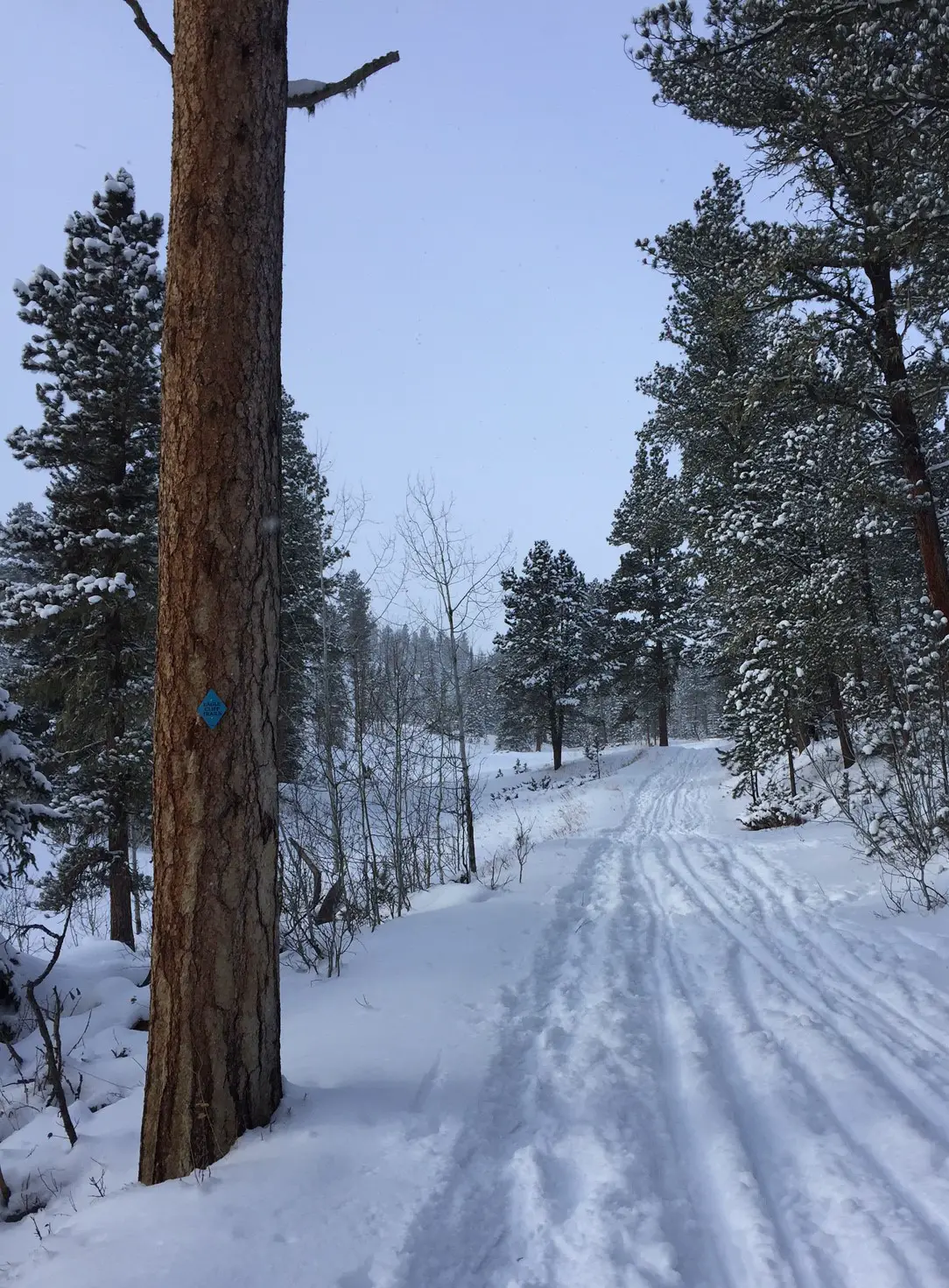
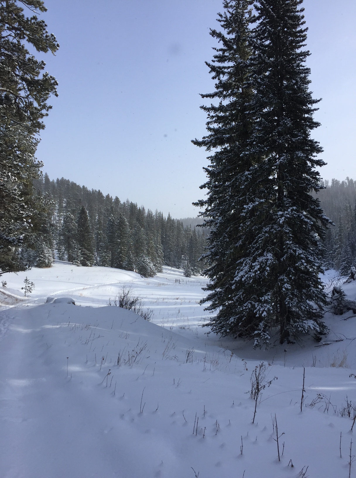
This route is especially enjoyable during the winter months (roughly November through April depending on the weather) because the Needles Highway is closed to all vehicles during that time. You can still hike/bike/snowshoe/ski it though! It’s so cool to be able to slowly and calmly enjoy this route, and all the beautiful views it offers, in peace.
No offense tourists, we love you guys! It’s just that during the busy, warm months, all the bustling of cars, busses, and motorcycles makes us miss our quiet, peaceful Hills. 😇
See below for a description of each trail:
Little Devils Tower Trail
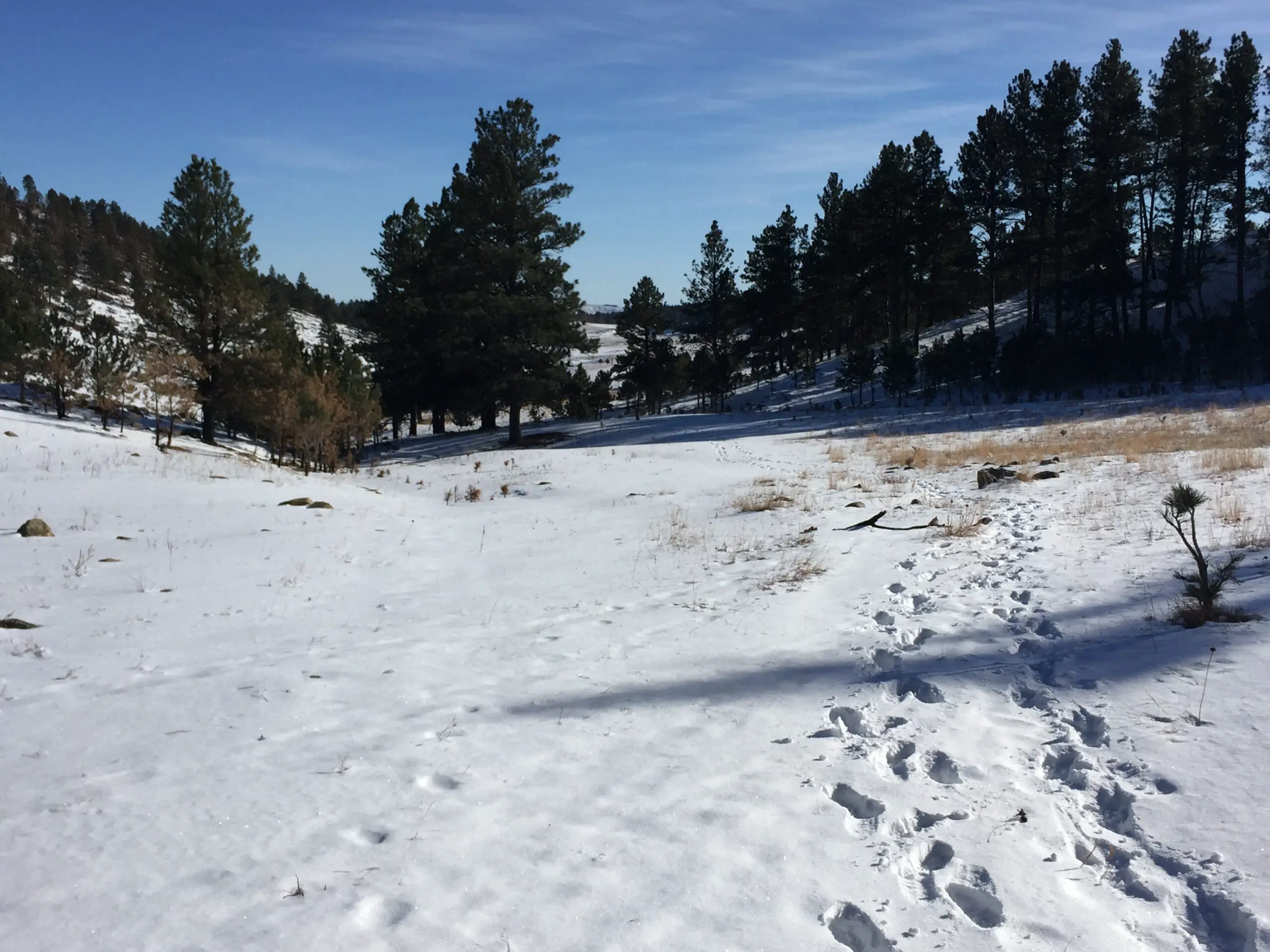
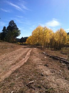
This trail is around two miles long, in each direction. It is fairly wide and smooth and isn’t overly difficult (it does ascend the entire way out but the grade is low).
If you know where to look, the fabled Poet’s Table can also be found in this area. If you want a few hints on how to find it, click here.
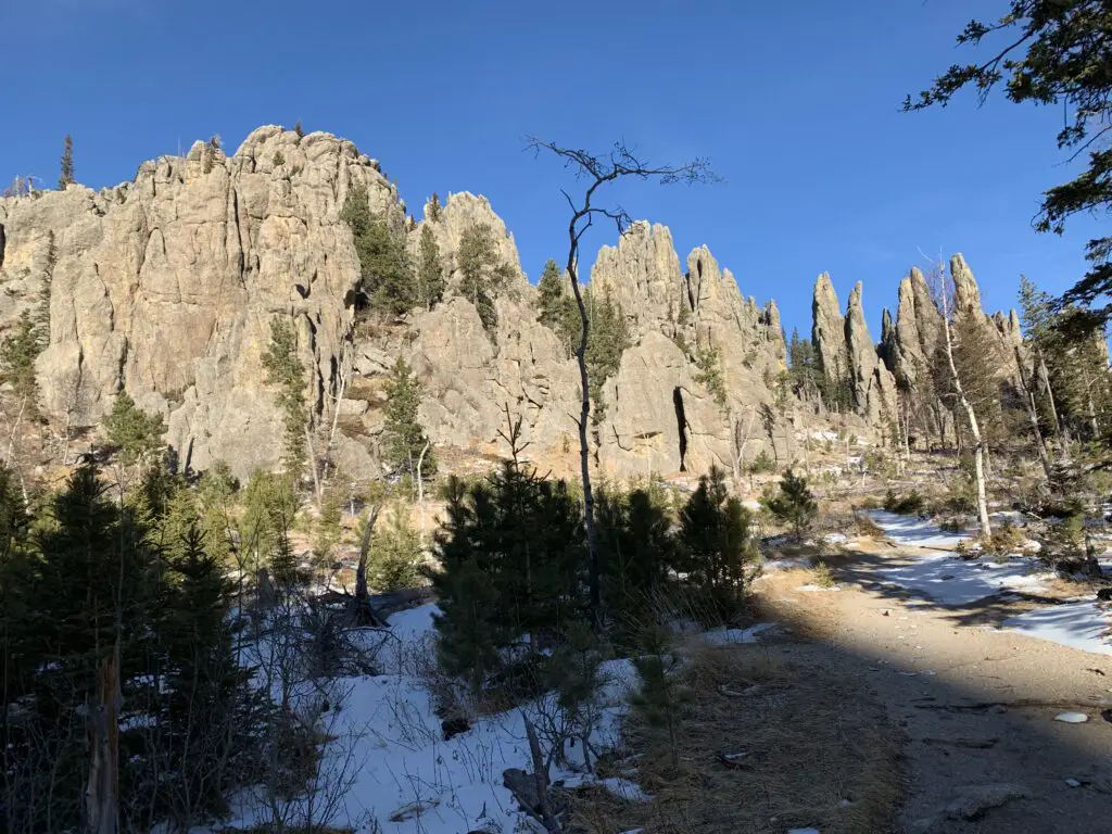
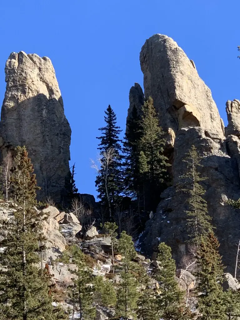
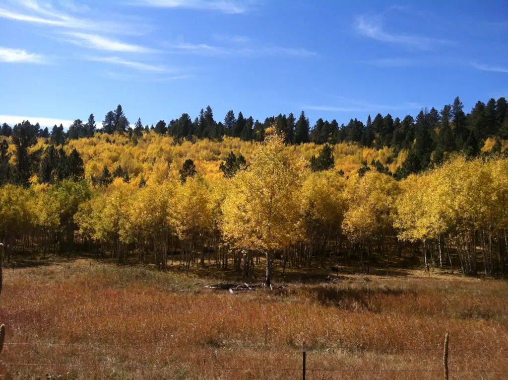
Near the summit, the last several hundred feet does require scrambling over large, steep boulders. There are some absolutely gorgeous vistas on this trail, and from the summit, you can get great views of the Cathedral Spires…

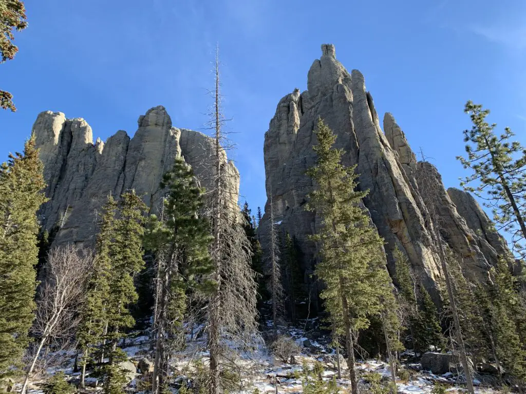
Cathedral Spires Trail
You can reach this trail directly from the Little Devils Tower Trail or from the Cathedral Spires Trailhead on Needles Highway (if it’s open). The actual Cathedral Spires trail is about one-and-a-half miles in each direction. Be aware that it IS steep though. A little clambering/bouldering is even required if coming directly from the trailhead. Returning to the trailhead from the Spires is easier though some hopping down rocks is still required. (So while accessing the Spires from Sylvan Lake takes longer, it’s also easier!
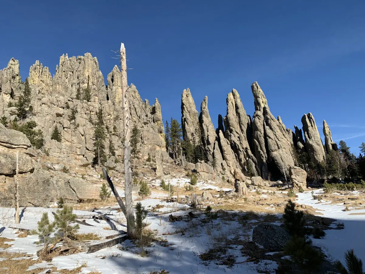
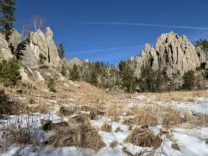
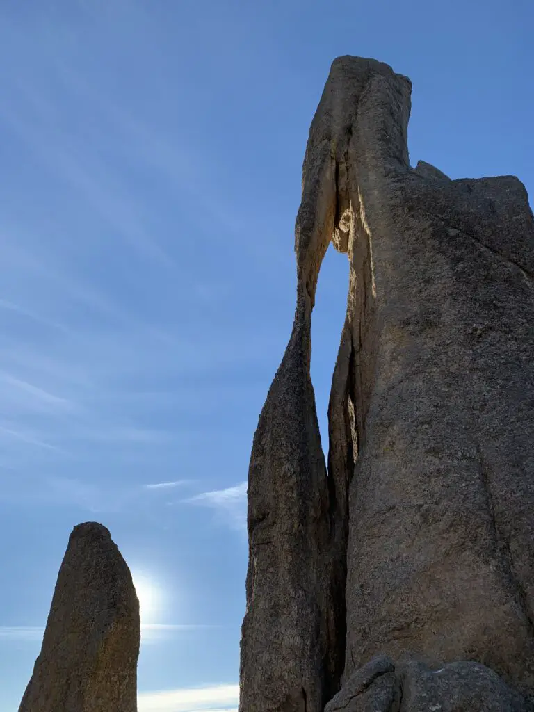
At the terminus of the trail, you will find yourself in an amphitheater. It is surrounded on three sides by rock spires that reach to the heavens as they tower overhead. Sounds reverberate off the rock causing a cacophony of noise. This is a prime area to stop for a quick lunch break and it is especially haunting in the fog when it creates a spooky, almost fairy-tale-like scene.
 Needles Highway
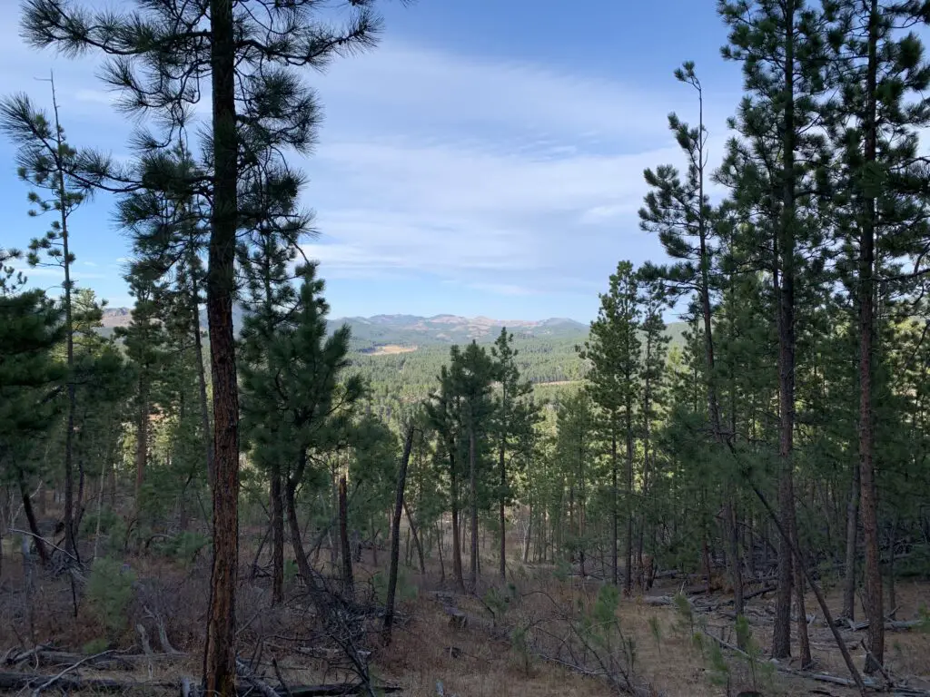
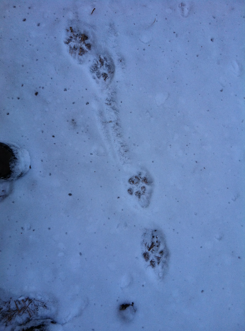
This connector section of the trail offers incredible views of Custer State Park and the town of Custer that sits directly to the south of the park. On clear days you can also see the plains that stretch to the east and south. It is truly a beautiful area! Watch for mountain goats here too as they favor the rocky, granite crags that this part of the state is known for.
The entire loop is around 9ish miles in total length so it’s a little long. However, there isn’t a lot of elevation gain as you’re already at one of the highest points in the Hills and the routes themselves aren’t too difficult. I would rate this as a moderate hike.
So, if you’re looking for a fun and scenic way to see well-known parts of Custer State Park, check out this loop trail made from the Little Devils Tower and Cathedral Spires trails, and the Needles Highway!
Have you hiked these trails? Tell me about your experience in the comments!
Did you enjoy this post? Pin it!
Like what you read here today? Please feel free to leave a comment, like or share this post! Add your email at the bottom of the page, or the sidebar to the right, to be notified when a new post is published. By signing up for the email list, you will also receive a free copy of the Tranquil Trekker’s Top 10 Tips of Trekking Do’s and Don’ts!
You can also follow the blog on social media by clicking the links below!
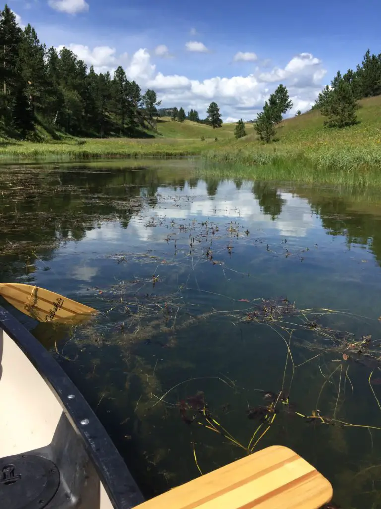
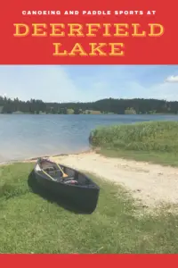
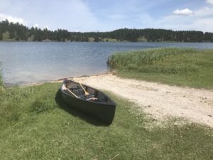 Deerfield Lake is one of the Trekkers’ favorite spots for canoeing in the Black Hills (another is
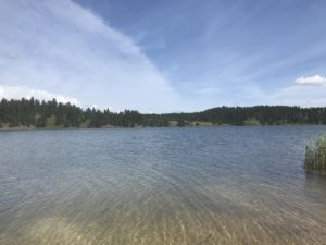
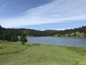 There is a hiking trail, that circumvents the lake, which is also good for cross-country skiing and snowshoeing in the colder months. There are several campgrounds available around the lake, as well. You should be aware these are National Forest campgrounds,
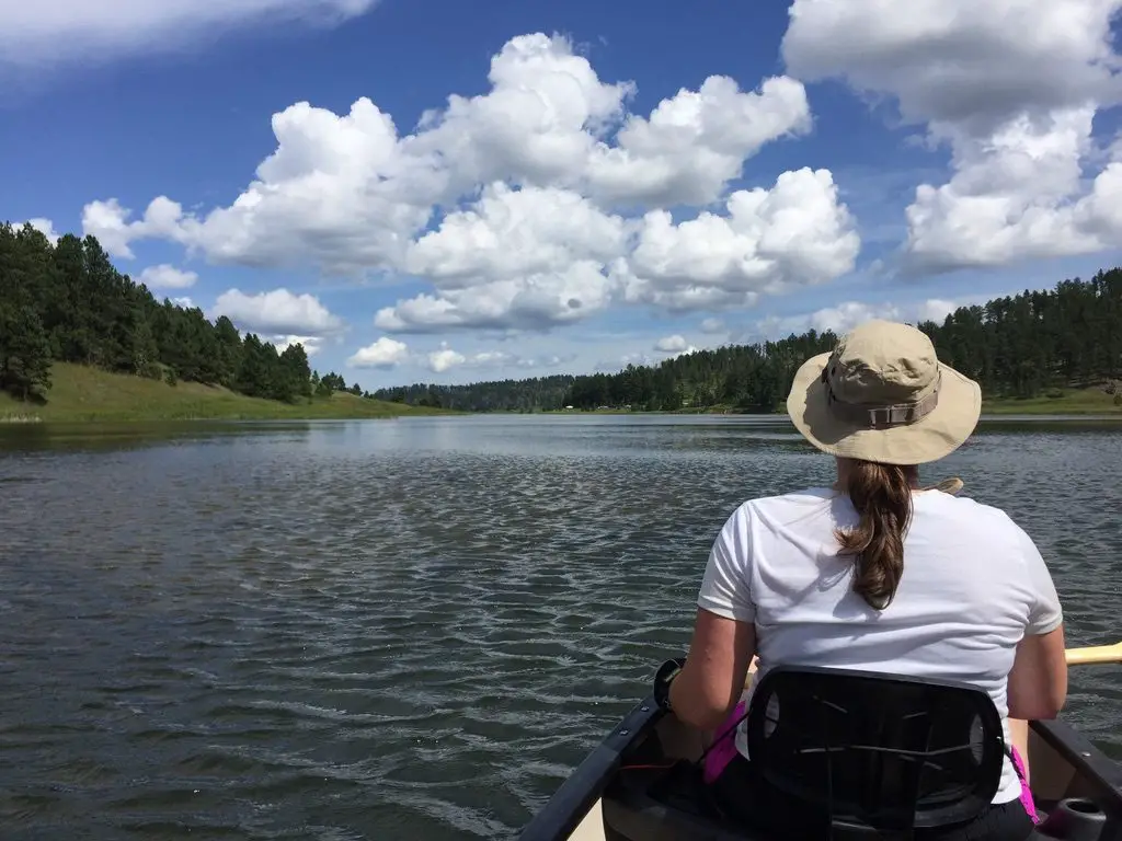


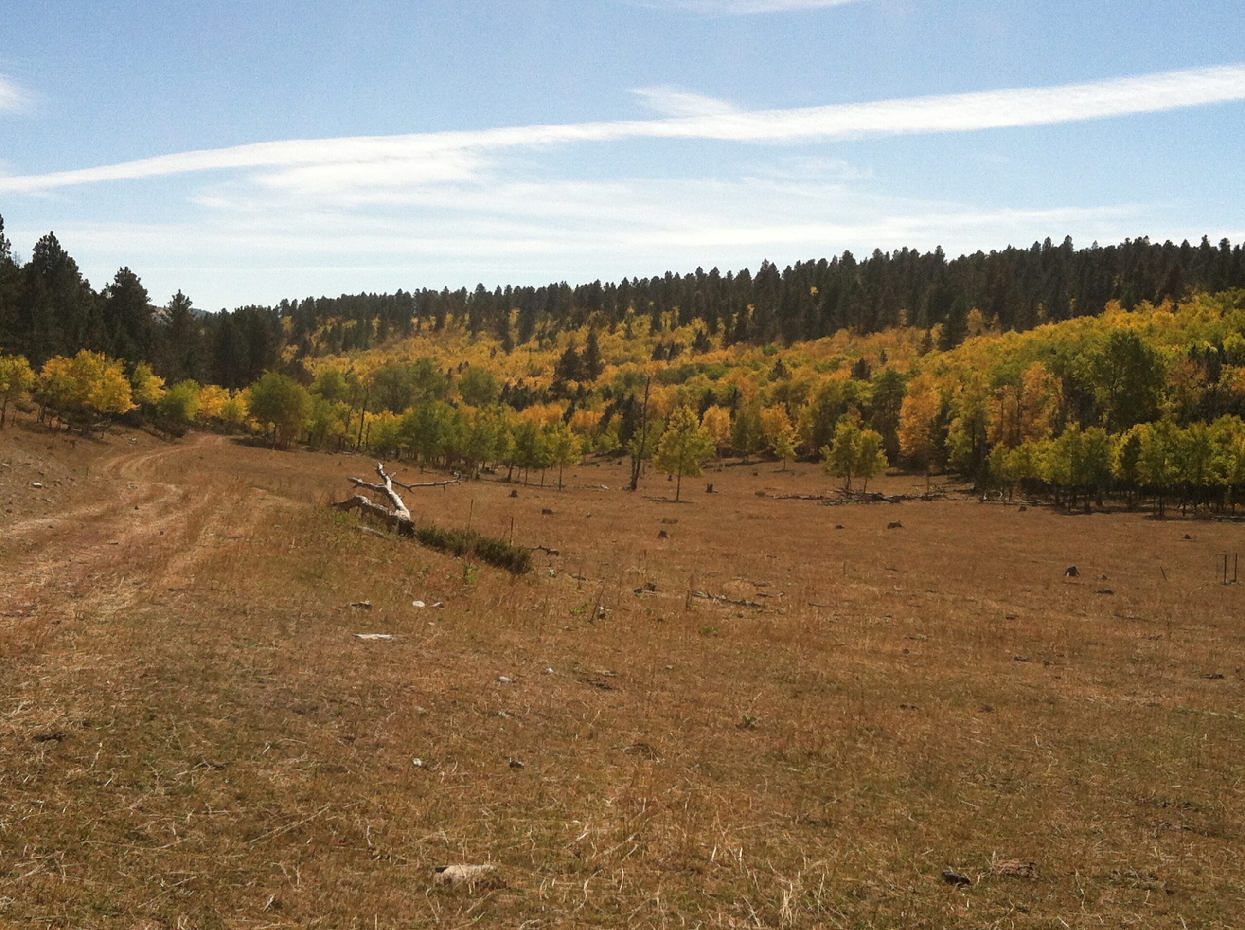
 For beginners, I strongly recommend starting with the initial Loop A. It’s a short, groomed trail that just goes in a small circle around a meadow/forested area near the front of the Big Hill trail network. It’s fairly flat with only a few short rises and dips and doesn’t offer much opportunity for falls (though, full disclosure, I have fallen here 😝).