Author’s Note: I’ve touched on this subject before, but I feel it is VERY important so I decided it deserved its own post. My opinion is a little controversial, but I don’t care. Multiple situations we’ve encountered on the trail have fortified this belief…
SOLO HIKING IS VERY RISKY!
I know some people don’t like to hear this but stick with me here. Some of us have an independent streak that is so strong it can, unfortunately, outweigh our common sense at times. 😇
I’m not trying to tell people what to do, obviously, at the end of the day, we’re all adults and we have to make the final decision for ourselves on what is best for us. Only we can determine what risks we’re willing to take regarding our own personal safety. I’m just trying to weave a cautionary tale.
Getting Stuck When Adventuring Alone
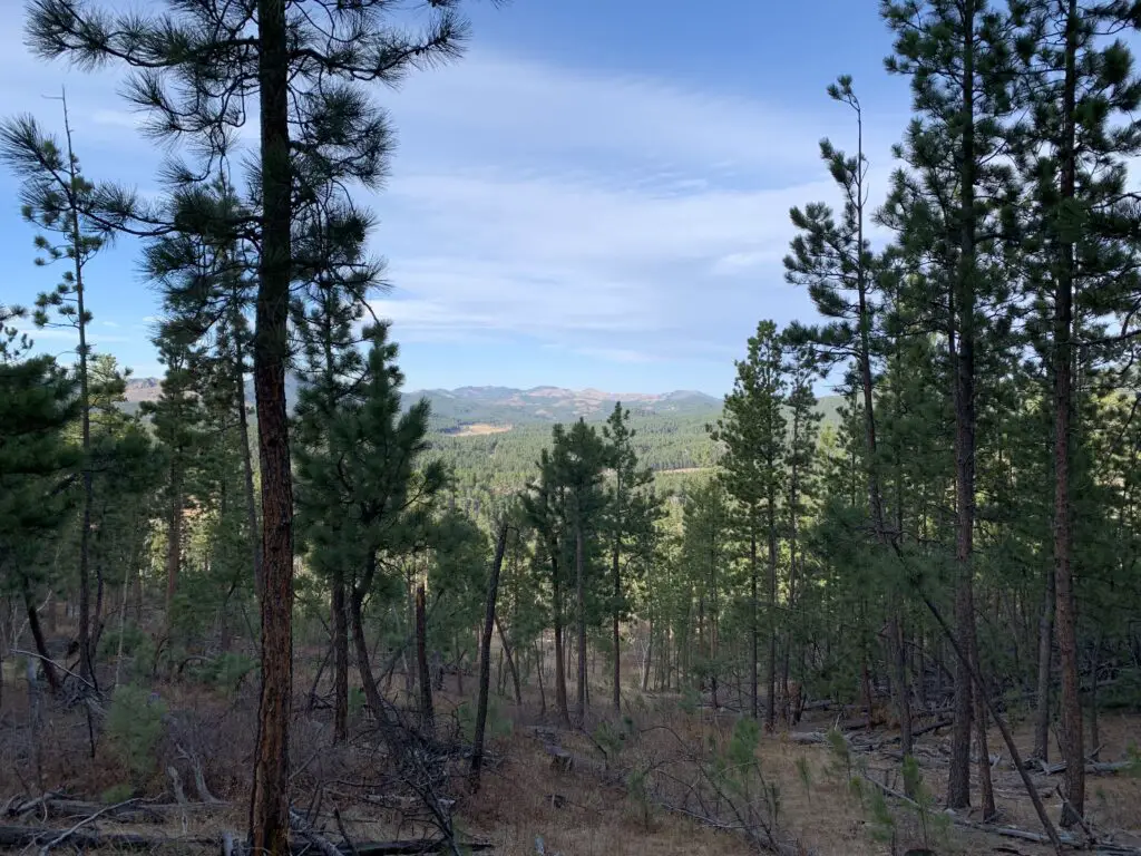
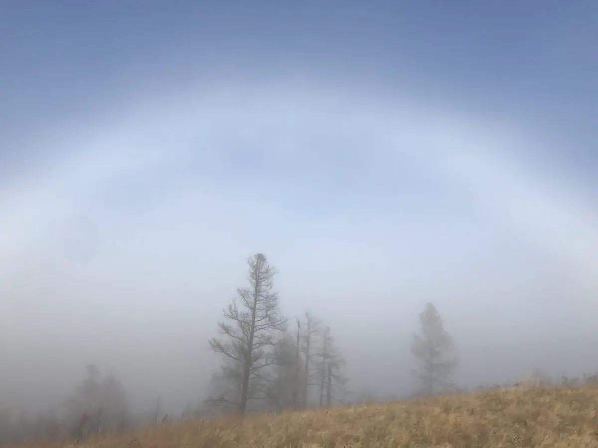
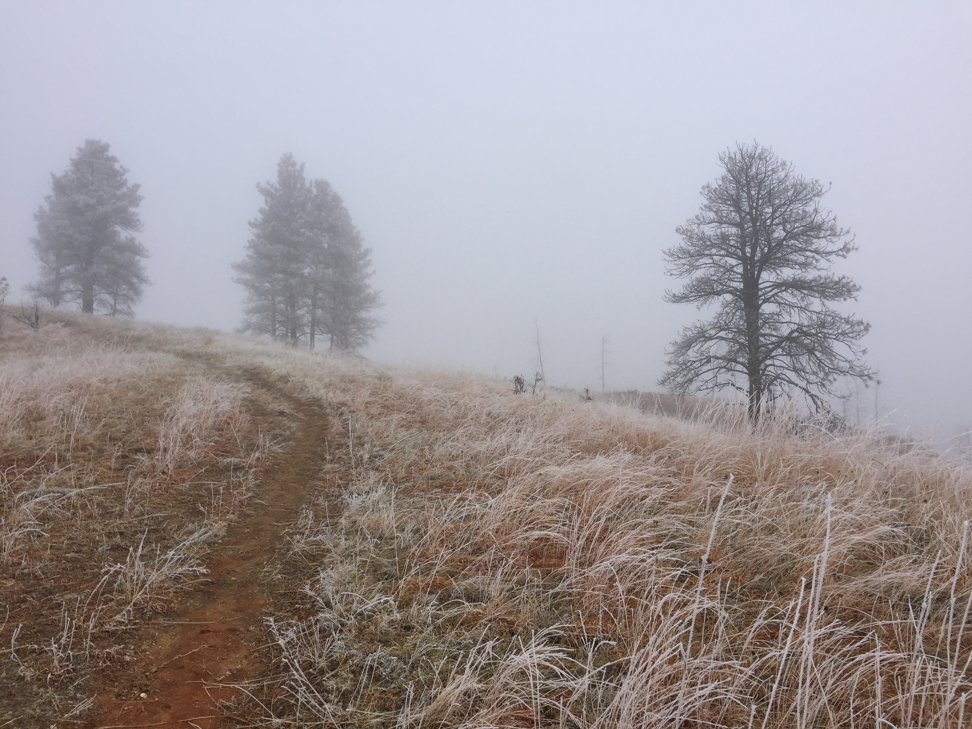
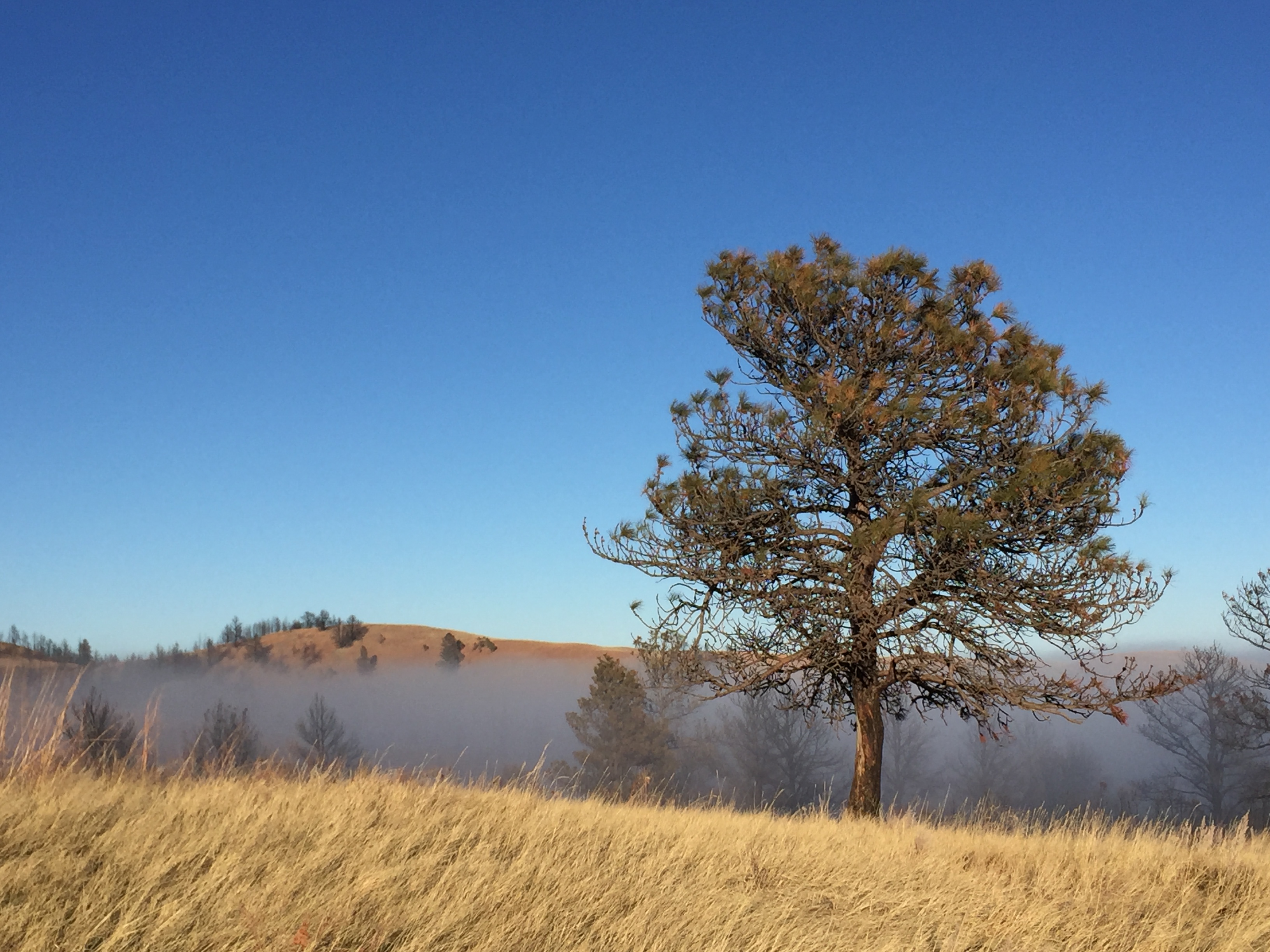
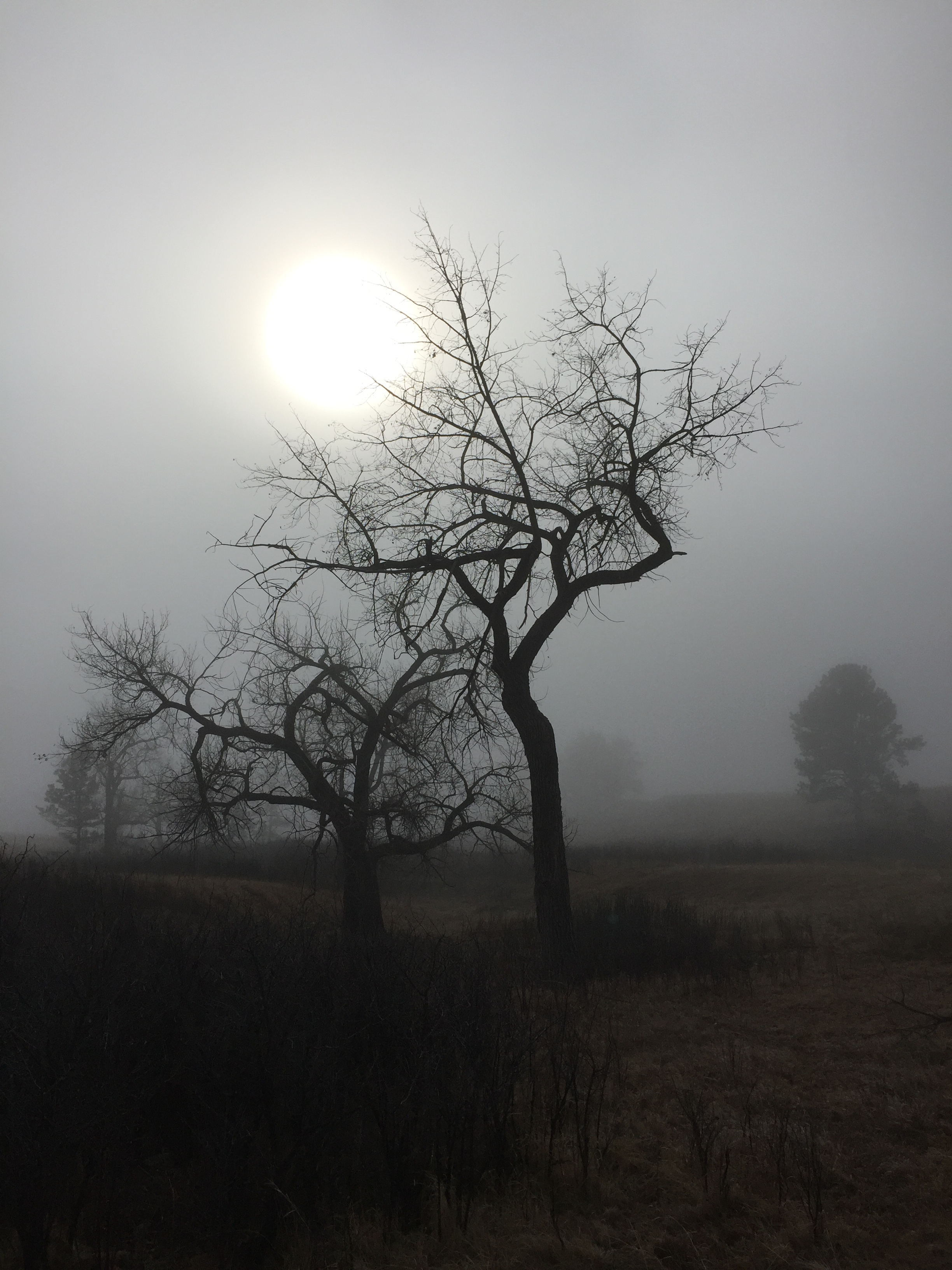
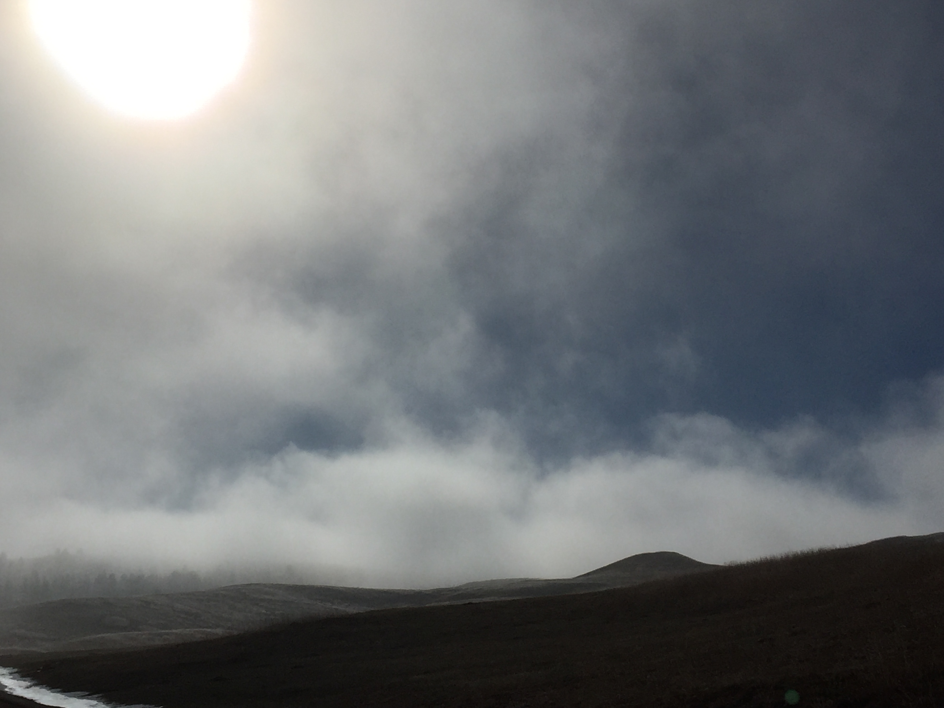
Several winters past we were snowshoeing in the Big Hill area on a warm, March day. (That portion of the Black Hills had received another foot of snow from a blizzard earlier in the week.) We were hiking a new portion of the Big Hill recreation area, where new, fat bike and snowshoe trails had been added, that we weren’t very familiar with. Unfortunately, due to its newness, the maps for these trails were a little unclear and not well signed (or if they were signed, the info was buried under several feet of snow). 😝
Accidents Can Happen FAST in the Wild…
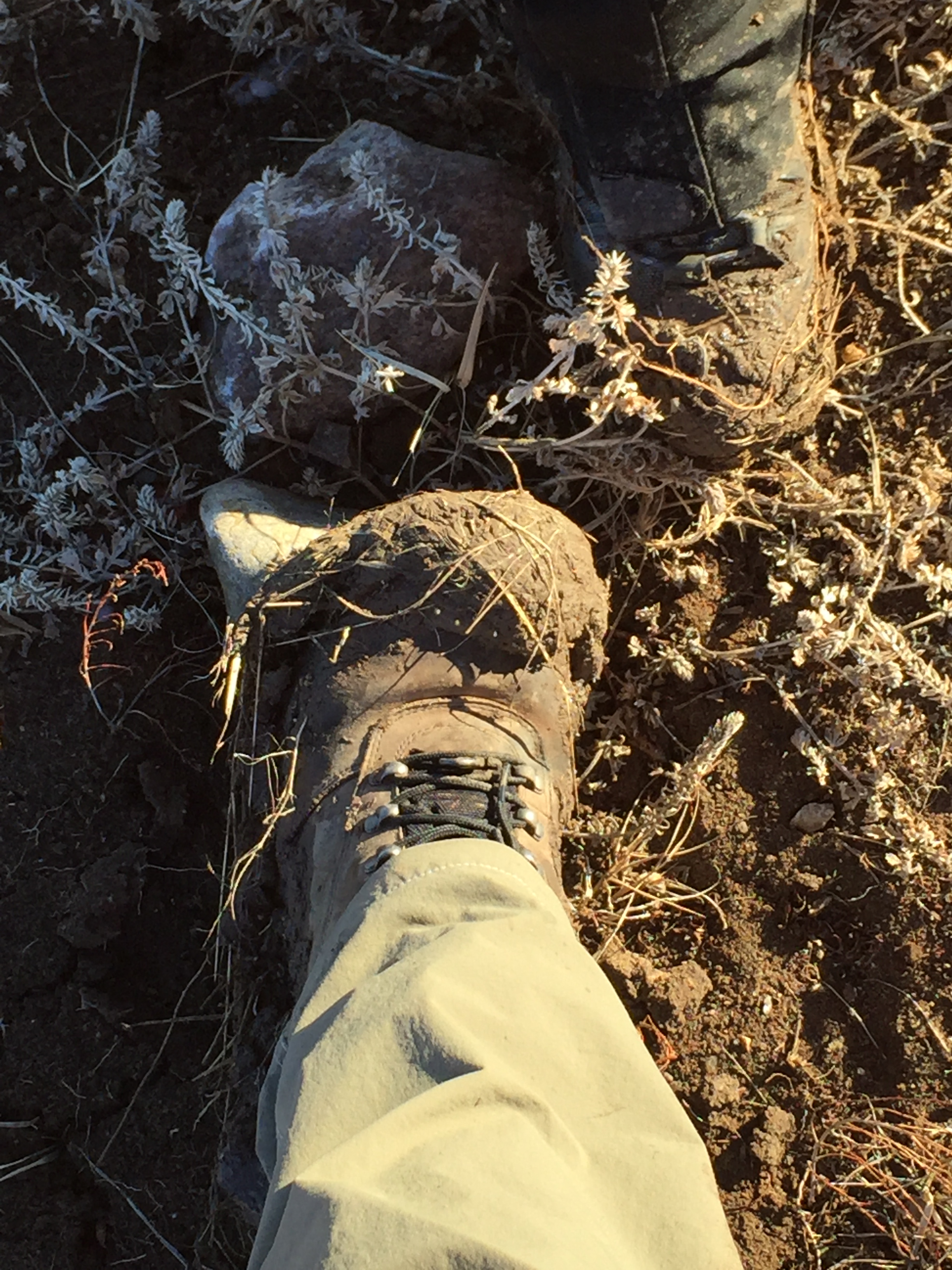
We were maneuvering down a gulley, (which may or may not contain a creek bed in warmer months). We thought we might be on-trail, but couldn’t really tell. (You are allowed to venture off-trail in these portions of the national forest, especially in the snow, and we knew our general location, so we were just having fun and exploring). Mr. Trekker had taken the lead and was cutting trail, I was following almost exactly in his footsteps. He took two steps, I took two steps…and my right leg immediately sunk into hip-deep snow.
Normally, this isn’t too big of a deal. It can be difficult to get out, but you just have to work at it. This time, my leg was stuck fast. I could move it around, but my ankle and foot refused to budge. It was in the 40s and sunny that day, so the snow was heavy, wet, and easily packable. (This was one of those days where large ice-balls gather on the bottoms of your snowshoes as you walk. I had sunk to almost knee-depth a short time earlier, and had a little trouble getting out as my snowshoe had created almost a vacuum in the snow.)
So, we weren’t too concerned. We began digging…and digging…and digging…
We finally dug far enough to reach my knee (we learned something from this event…snowshoes make good shovels! 😳) and I kept trying to loosen my foot but to no avail. This was getting a little ridiculous! Also, after several minutes half-buried in the white stuff, any part of my body that was touching the snow was starting to get cold! 🥶
We kept digging and about the time we reached my shin we hit something hard…very hard. We couldn’t tell what it was, other than we wouldn’t be able to move it and my snowshoe was lodged UNDER it. We couldn’t reach my foot–it was enclosed in my hiking boot which was firmly lashed to my snowshoe…and we couldn’t reach the bindings on the snowshoe to free the boot…
…at this point, my claustrophobia started to set in. I DO NOT like being stuck. It makes me feel like I’m suffocating. I had images of sinking into this hole and being smothered by all the *&%$# snow! 😝
I wasn’t too worried about being stuck forever because we knew what we needed to do, and I knew I wasn’t injured…but you start getting a little panicked when the adrenaline from the fight-or-flight instinct kicks in, and that can easily override rational thought. Fortunately, Mr. Trekker, with his IRRITATING AS HELL 😉😉 sense of calm was there to help keep my panic–mostly–at bay. 😝
You May Have to Wait a Long Time for an Outdoor Rescue
It was becoming clear that we’d have to tamp down the snow around where I was stuck to have any hope of getting me out, as every scoop we removed immediately filled in with more snow from other parts of the drift (it was almost like digging in sand). So, Mr. Trekker set about using his snowshoes to make a base around me.
By now I was starting to get uncomfortable. I was getting covered in snow that was blowing back on me from what we were scooping out of the hole. Also, the cold from the snow I was leaning on was conducting through my thin, hiking pants. Fortunately, we had supplies. (Another safety rule, ALWAYS bring extra supplies, even on nice days when you’re venturing onto trails and areas you’re familiar with. You NEVER KNOW when you will need them!)
I had the windbreaker/top layer of my winter coat with me (which is waterproof). I put that on to shield me from the snow blowback. We also always carry a small, 20-year-old rainfly from the first, $30 Walmart tent we ever purchased. (We usually use it as a base to sit on for lunch). Today, it provided a much-needed, extra layer between the cold snow and my tush so I could sit–fairly comfortably–while Mr. Trekker worked to free me.
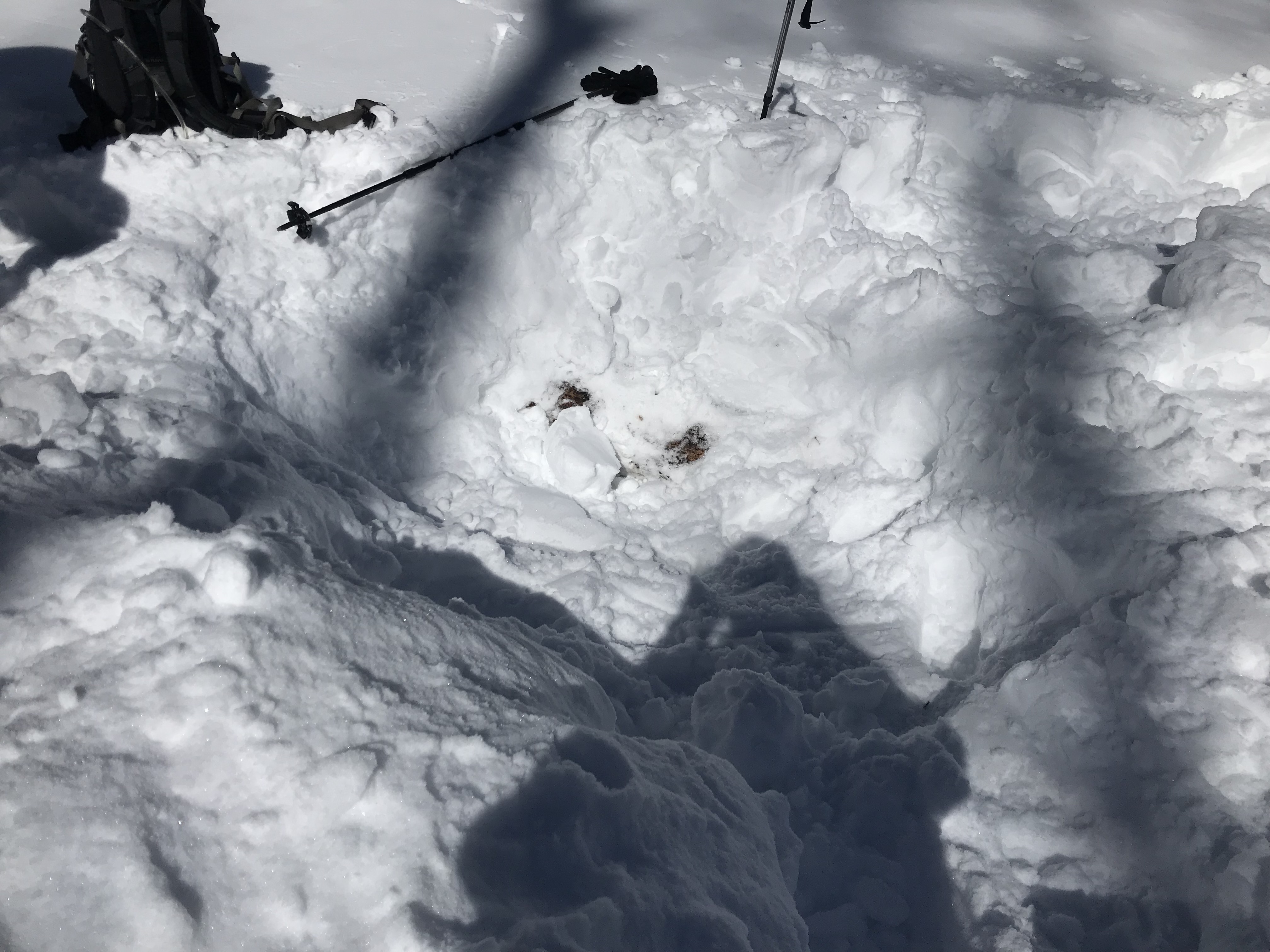
FINALLY, my superhero-on-snowshoes was able to tamp down a base of snow around me to work from and then we set about digging further. At some point, we figured out my foot was lodged under a large, fallen tree, and its entirety was buried under FEET of heavy, wet snow. It wasn’t going to move, so I had to. Finally, after about 30 minutes, Mr. Trekker was able to reach the lashings on my snowshoe and unhook them, and I was then able to remove my foot. I was free!!! (We were then easily able to twist the snowshoe around and lift it out.)
To be clear, we never saw the ground. There was snow under the fallen tree, as well, which means that portion of it wasn’t sitting on the ground. (We think there was probably an air pocket around the fallen tree and that’s what I fell into.) So, we don’t know exactly how deep the drift was, but by the end, the snow piled up around me was at least shoulder-height from where I had sunk into the drift. So, it was easily six feet deep at a minimum!
Solo Hiking can be Dangerous
Stuff happens fast out in the Wilds folks. My “event” happened over the course of one step and about two seconds…and it took two, able-bodied adults more than 30 minutes to get me free. I don’t necessarily think I would have died if I had been out there alone. I wasn’t injured (fortunately) and I had full use of my arms and my other leg (as much as I could twist it around). However, it would have been CONSIDERABLY more difficult, and taken considerably more time, to dig out if I’d had to rely on my own devices. This increases the risk factor exponentially for two reasons:
-
-
- With the exception of my hiking boot and the gator covering my calf, the only protection between the entire rest of my leg and large amounts of cold snow was a thin layer of hiking pants (it was a warm day). It was also breezy, so every time we tried to throw snow out of the hole, half of it would blow back in my face and cover me (adding to my wetness). If I had been stuck out there long enough, frostbite could have become a real threat to the areas of my skin that were touching the snow.
- Hypothermia was the other concern. Because it was warm and sunny, if I was able to stay above the snow, I stayed reasonably warm. However, digging out meant getting covered in snow and getting wet. It also meant leaning/sitting on cold snow at least somewhat. If it had been 20 degrees–or more–colder, like it usually is when we venture out “shoeing”, the risk would have been even greater. I could have called for help, but that portion of the trail wasn’t heavily used (hence why we had to cut trail). There were also a lot of snowmobilers in the area that day and their noise may have drowned out my cries.
-
To conclude
So this brings us to my point. Unless you are trekking a heavily used trail at a busy time, (and remember, even popular trails can be isolated at certain times of the day, the week, or the year) solo hiking (or solo-adventuring in any manner) is risky! I know this position is strongly debated, I don’t care, I stand by my conviction. Illness, injury, equipment breakdown, animal attack, losing your way, all these things can happen VERY quickly and easily. Cell service is lost just as quickly, and GPS shouldn’t be trusted either. All it takes is one, nasty rolled ankle, or a fall, to put you in a precarious situation that you can’t get out of on your own, or to leave you stuck somewhere you can’t call for help.
Your furry friend is a great companion, but unless they can search for a cell signal, then dial 9-1-1, and THEN give a good explanation of your location—unlikely—they DON’T count as a trekking buddy. 😜 (A furry friend may have been able to help dig me out in this situation IF you could make them understand what was needed, and then IF you could get them to help correctly–maybe your dog is more well-behaved than ours). 😝
This was one of those unique situations that don’t seem that bad on the surface. I wasn’t injured, I wasn’t sick and we weren’t lost. I just had my leg and foot trapped under a log and several feet of heavy, wet snow (as it was, we ended up “shoeing” around a good bit after Mr. Trekker “recovered” me.) But in other conditions, or if I had been alone, this could have gone bad very quickly.
I’m a firm believer in learning from the mistakes of others (or at least the situations others find themselves in). So please, take my experience as a warning. In my case, we avoided disaster. But had I been alone, and had it been colder (or if I had been injured, God forbid), this could have very easily ended up as a rescue scenario and then only once I was able to raise help.
There was no cell service where I was, and I was stuck so I couldn’t crawl to where there was service. I should also point out, we were less than a mile from a regularly-used road, so we weren’t really out in the wilderness–this wouldn’t have helped my situation either, had I been alone. Likely no one on the road would have heard my cries for help (I was in a gully, they would have been driving by at 50 mph and their windows would have been closed).
Obviously, I can’t force anyone to follow my advice. There is no Adventure Police manning the trails ticketing people who venture into the wilderness alone. But I think we can all logically acknowledge that it IS riskier to solo hike.
Bad things can happen SO quickly and SO easily when we’re enjoying nature. Even on fairly easy trails and/or on good-weather days. A perfectly wonderful day can turn dangerous (or at least problematic) in an instant. I’m not trying to be a killjoy, but I feel very strongly about this. For that reason, I can never endorse someone adventuring alone, anywhere off the beaten path.
I know some people really enjoy going out alone, so you need to make the decision for yourself if it is worth the risk. Also, sometimes, people don’t really have any acquaintances that enjoy these types of activities. This problem is much easier to fix. If you don’t have a trekking buddy, this is a great opportunity to make new friends! Look for groups online or join a meetup group (or start one yourself!)
So my final word on the subject is this: I implore you, please, think twice before going on a solo hike!
And also, sometimes, superheroes wear snowshoes! 😉😘😍
What are your thoughts about the risks of solo hiking? Tell me in the comments!
Did you enjoy this post? Pin it!
Like what you read here today? Please feel free to leave a comment, like or share this post! Add your email at the bottom of the page, or the sidebar to the right, to be notified when a new post is published. By signing up for the email list, you will also receive a free copy of the Tranquil Trekker’s Top 10 Tips of Trekking Do’s and Don’ts!
You can also follow the blog on social media by clicking the links below!