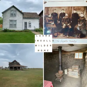
In this post, I review our visit to the home of my childhood hero!
When the Tranquil Trekker was a little girl, I LOVED the Little House books by Laura Ingalls Wilder! (We watched the TV show some too, but I always liked the books better.) I read the entire series numerous times and had half the story memorized!
If you had told the Little Trekker that in 30 years I would be living in the SAME STATE as Laura I would have freaked! 😂
For the last decade that we’ve lived in South Dakota, whenever we drive down I-90 through the eastern part of the state and see the sign for the Laura Ingalls Wilder Historic Homes, I would say, “We really need to visit there sometime!”
Well, we had plans to travel for a conference for Mr. Trekker’s work one fall, and he suggested we leave a few days early and stop at “Laura’s House” on the way. I readily agreed!–The eight-year-old Tranquil Trekker was fangirling hard that day!
We knew I had surgery (and a lengthy recovery) looming in the next several months, so after our visit, Mr. Trekker got me several of my favorite Little House books for Christmas that year. I LOVED rereading them again during my convalescence!
Where are the Laura Ingalls Wilder Historic Homes?
The Laura Ingalls Wilder Historic Homes museum is located in the tiny town of De Smet, in eastern South Dakota. The main museum and visitor center is found right off of US 14, almost downtown.
There are a few other sites related to Laura’s life scattered around the local area, as well. These include a marker to her husband, Almanzo, on Route 25 North and the Ingalls’ Homestead, an open-air museum, located off of 25 South.
You can also do a driving or walking tour through town and see where many of the buildings are (or used to be) from some of her later books. (If you stop at the main museum first, they have maps that show you all the other locations.)
For more information on visiting the museum, click here.
What you will see at the Laura Ingalls Wilder Historic Homes
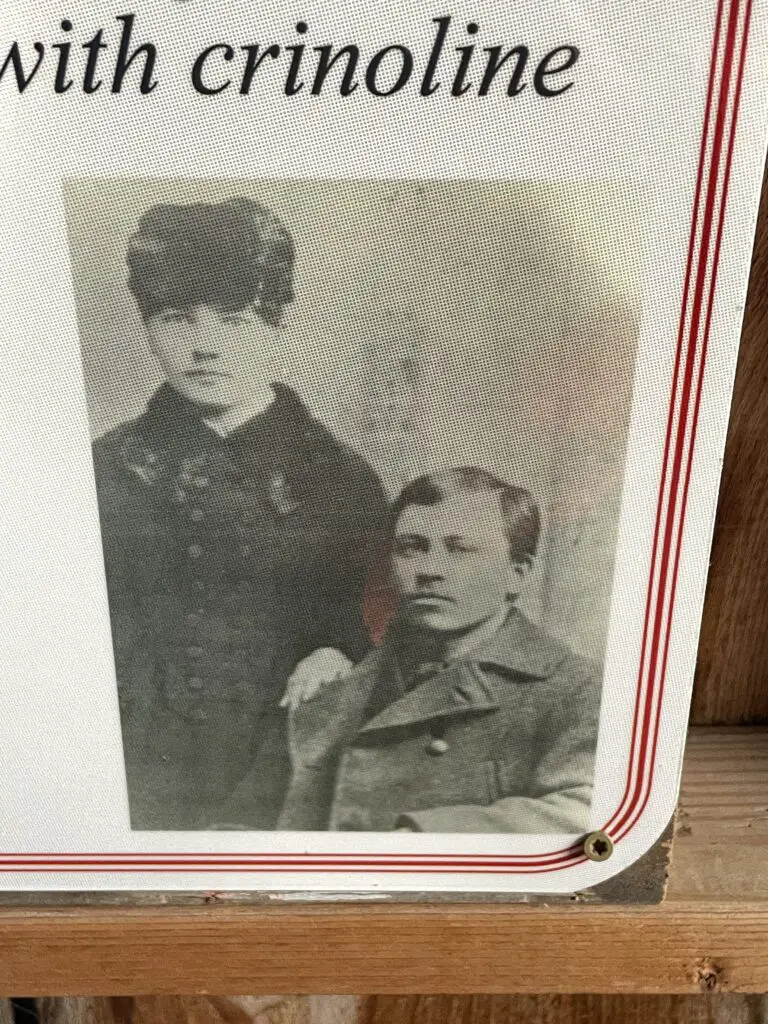
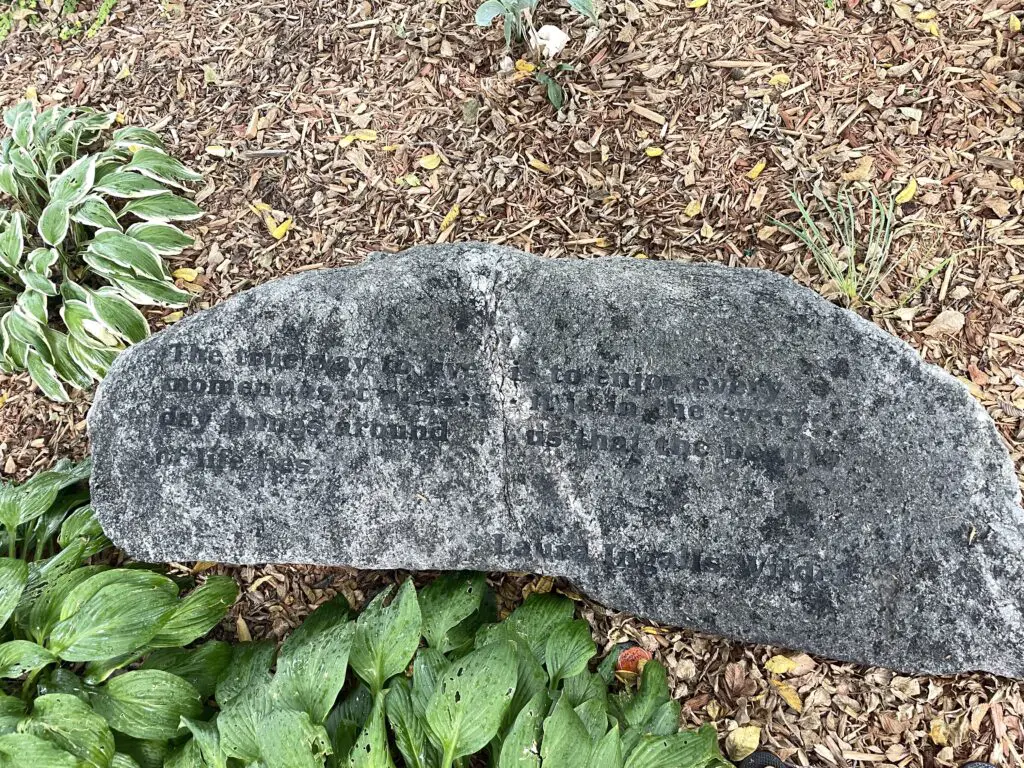
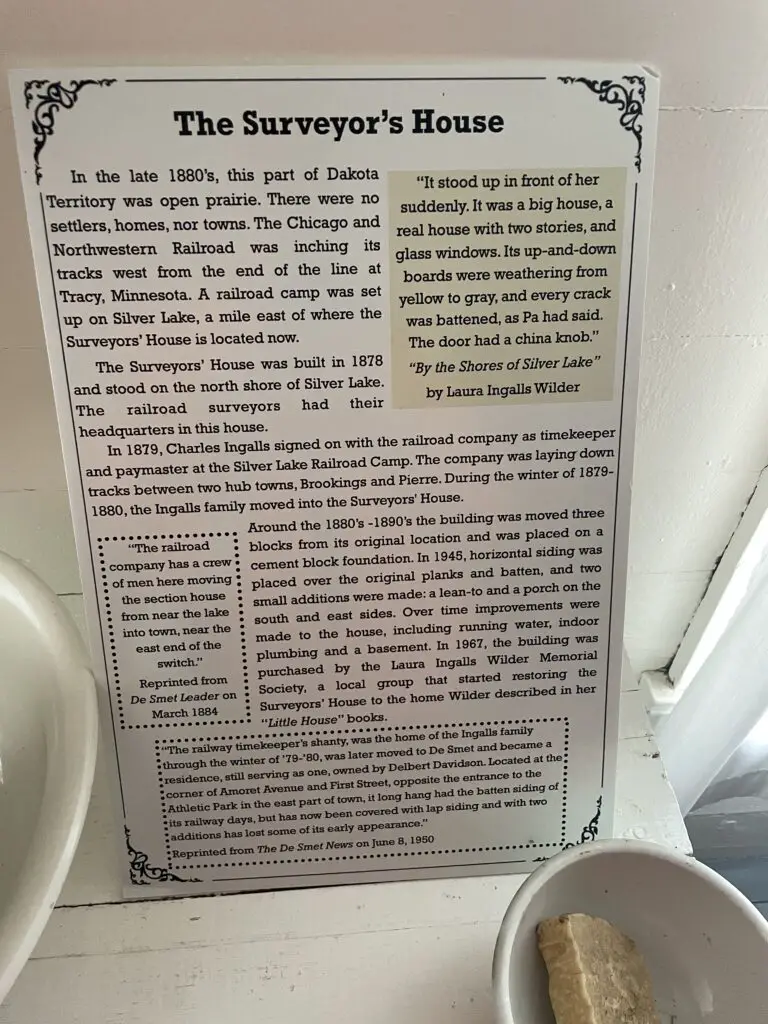
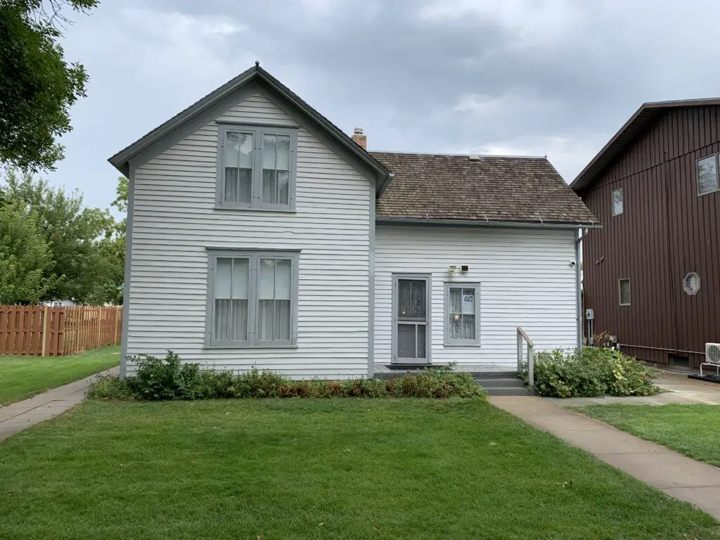
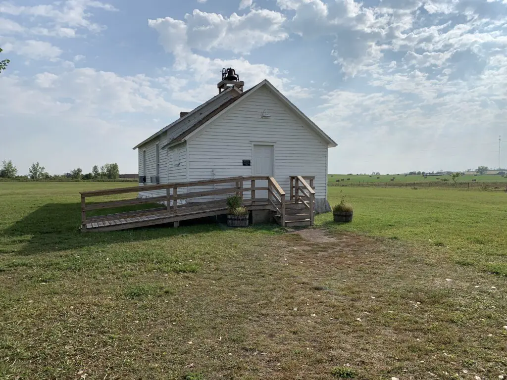
At the main, museum site you can tour the Surveyor’s House, where the family actually lived their first winter in De Smet. There are several other structures located on-site, as well that are available to tour, including a schoolhouse and a mock-up of a covered wagon.
While many of the structures are original this was not their original location. Some have been moved from their true location to the museum site to make touring easier. Others are re-creations and some are from a similar period even if they weren’t the actual buildings Laura and her friends used.
The Surveyor’s House:
The Surveyor’s House is the actual home Laura and her family lived in their first winter in De Smet. This story is portrayed in the book By the Shores of Silver Lake.
The Final, Ingalls Home
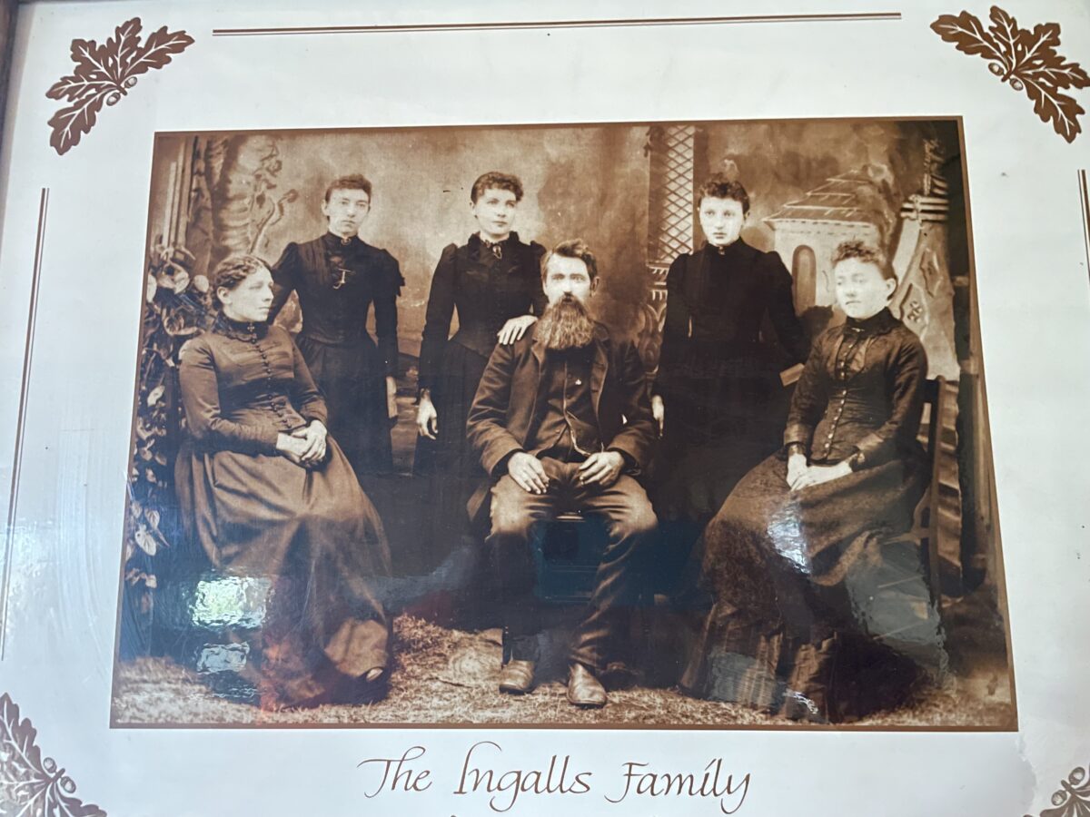
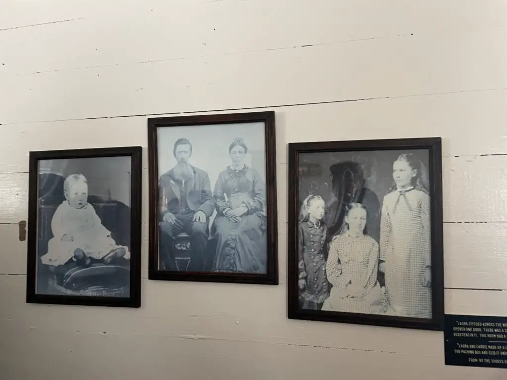
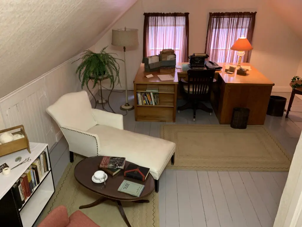
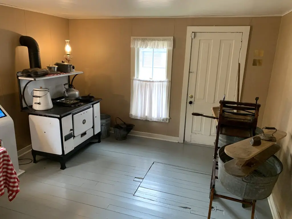
In town, a few blocks from the main museum is the final home the Ingalls all lived in as a family. The house still contains furniture, mementos, and pictures from when the family lived there.
The Ingalls Homestead:
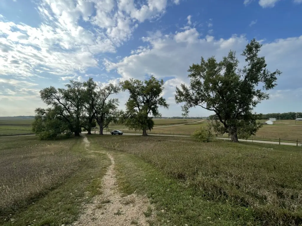
South of town, south of Big Slough, is the actual Ingalls’ homestead!
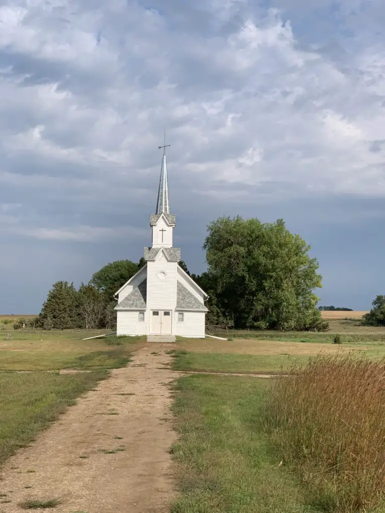
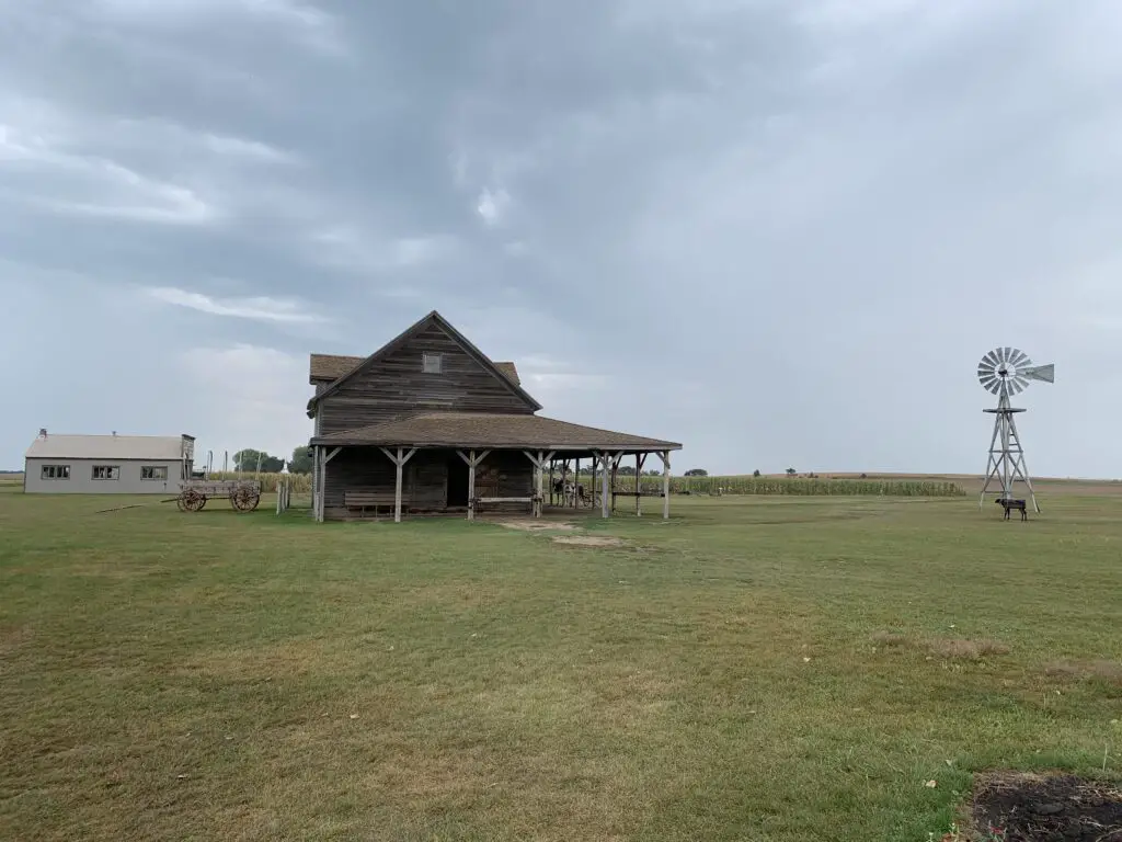
There is a mockup of a barn, a church, and a one-room schoolhouse, among other sites you can tour.
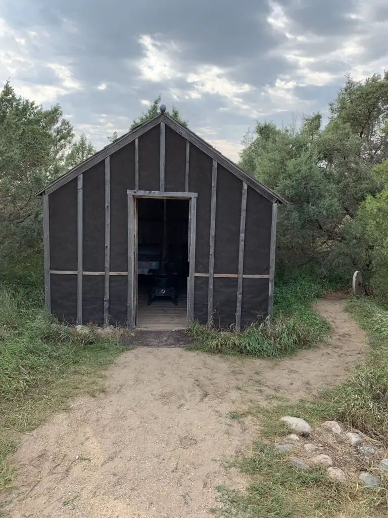
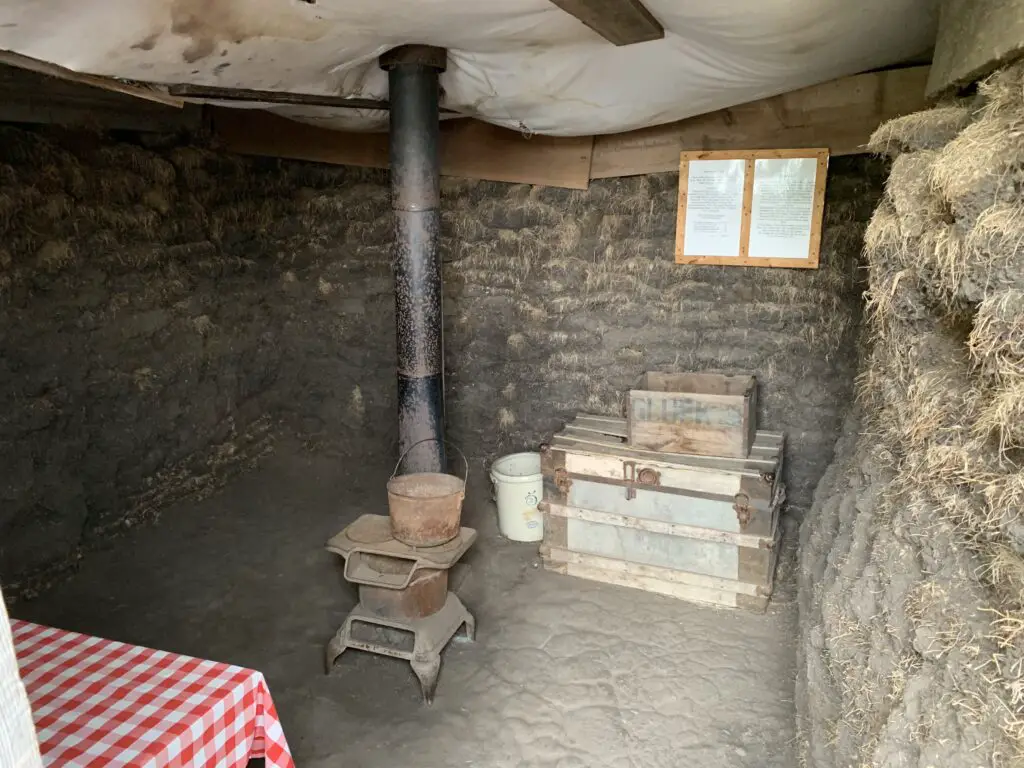
There is also a mockup of the shanty the Ingalls lived in on the prairie as well as an earthen dugout that some people used then (similar to what the Ingalls family lived in, in the book, On the Banks of Plum Creek.)
There is a wagon ride that runs at certain times throughout the year that will take you to these sites.
This is also a decent walk/hike if you’re able and interested–this is a great way to release some energy for the two–and four-legged–“kids” in the family (just remember the four-legged kids have to stay outside the buildings).
This site is a great historical place to visit that is educational but fun too. I’ve talked to several parents who said their children still love the Little House books (boys and girls). While they are definitely “stories about girls” they are much more “pioneer stories” than they are “girl stories”.
So if you’re looking for something educational and active to do in eastern South Dakota, check out the Laura Ingalls Wilder Historic Homes!
Did you enjoy this post? Pin it!
Have you visited the Laura Ingalls Wilder Historic Homes in De Smet, South Dakota? Did the site bring back fond memories of the Little House books from your childhood? Tell me what you thought in the comments!
Like what you read here today? Please feel free to leave a comment, like, or share this post! Add your email at the bottom of the page, or the sidebar to the right, to be notified when a new post is published. By signing up for the email list, you will also receive a free copy of the Tranquil Trekker’s Top 10 Tips of Trekking Do’s and Don’ts! You can also follow the blog on social media by clicking the links below!
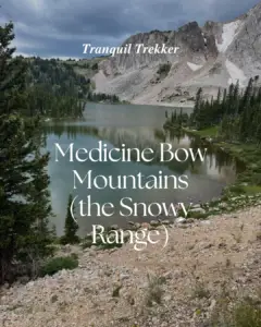
In this post, I detail some great places to hike and camp in the Snowys!
The Trekkers usually go to the Bighorn Mountains each summer. But this particular year the West had a VERY snowy and wet spring/summer (GREAT for avoiding wildfires, not so great for road conditions or mosquitoes). When we were making reservations all the roads/places we enjoy visiting in the Bighorns were closed due to mud and we figured the skeeters would be ATROCIOUS, so we thought why not try out the Medicine Bow Mountains (the Snowys) in south-central Wyoming instead?
Where are the Medicine Bows?
The Medicine Bows are a small area of mountains that run from north-central Colorado (near Rocky Mountain National Park) into south-central Wyoming (near Laramie).
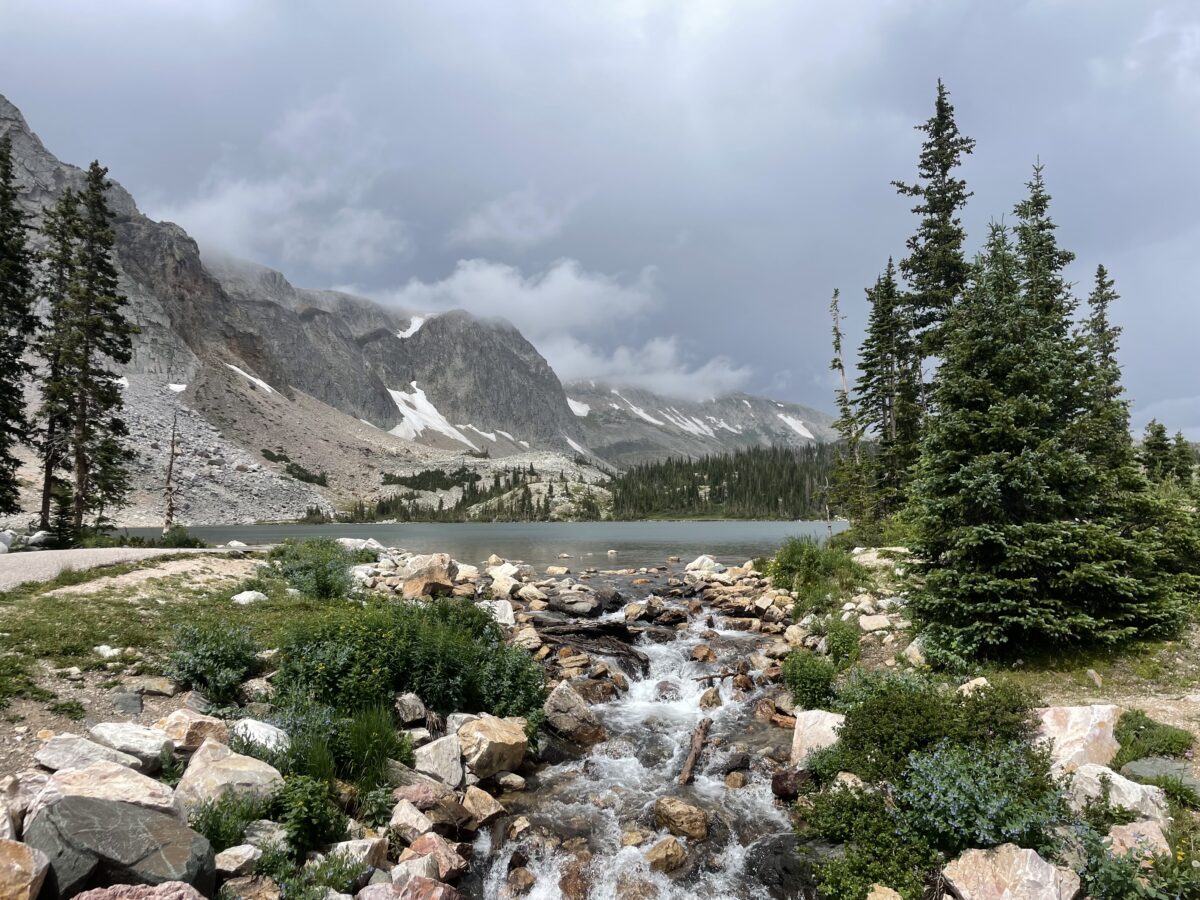
The Wyoming portion is what most people think of as the Medicine Bows. Here they are divided into three main areas: the Sierra Madres to the west, the Snowy Range (the Snowys) in the middle, and the Laramie Peak area to the east. Our trip focused on the Snowys…
The Snowy Range reminded us of Colorado!
—This area felt a lot like that around Walden, Colorado, and State Forest State Park which makes sense as it’s the same National Forest. Also, less than 100 miles separates the two…
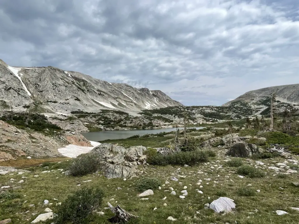
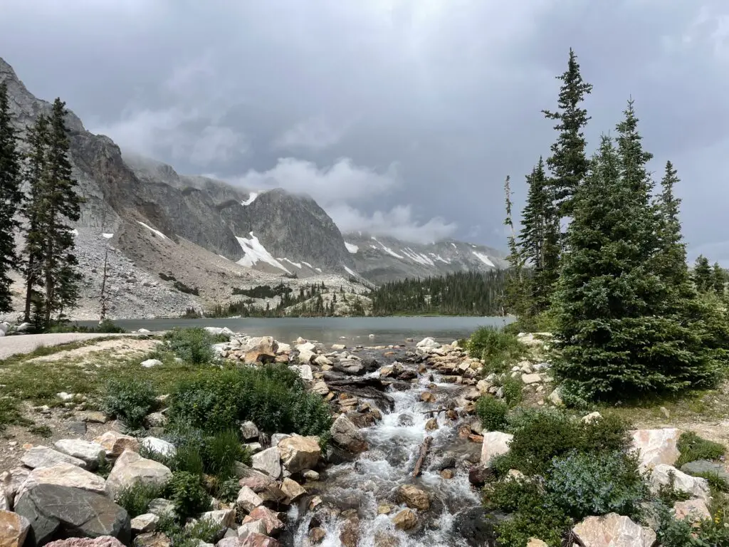
—There was still snow on some of the peaks. There is a reason they call this area “the Snowys”! 😉 Fortunately, the bugs weren’t too bad though!
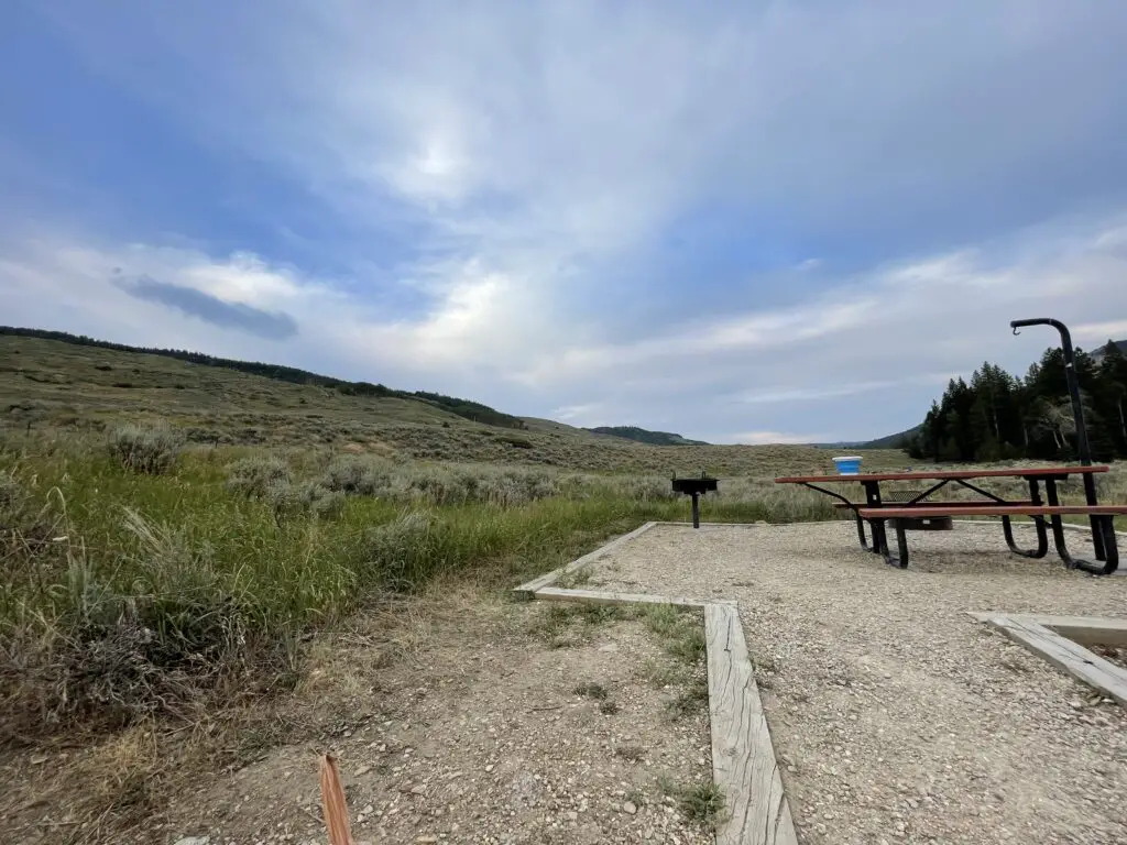
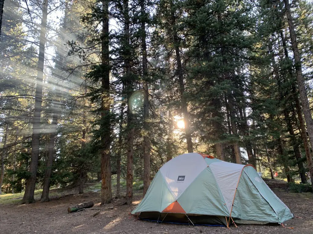
There are multiple Forest Service campgrounds in the Snowy Range. We chose Ryan Park as it was lower than many of the other campgrounds in the Snowys (at “only” around 8,000 feet rather than 10,000 feet.) This proved an obvious benefit as it was slightly warmer (especially at night) and may have had less rain (but was still FAR cooler than the lower elevations of the surrounding plains!)
To be clear, Ryan Park is still a Forest Service campground so it is rustic…
I’ve mentioned before that we REALLY enjoy US Forest Service campgrounds as they usually offer more secluded campsites and more rustic locations. Forest Services campgrounds are perfect for tent camping though most can accommodate RVs, as well (at least in some sites). Just be aware of what you’re getting into as most Forest Service campgrounds only offer:
potable water–at least in-season
decent campsites with fire grates and picnic tables (Always check local regulations to see if there are any current fire bans in place!)
…and that’s about it! 😀 Forest Service campgrounds also usually only offer vault toilets. (And, let’s be honest, a vault toilet is still just a hole in the ground that you pee in 😉but, the bathrooms at Ryan Park Campground were some of the cleanest and nicest-smelling outhouses we’ve ever been to! 😉)
I should do a post sometime about decent vault toilets we’ve visited around the country.Note: Yellowstone National Park and State Forest State Park, in Colorado, sport some of the NASTIEST! 🤥)
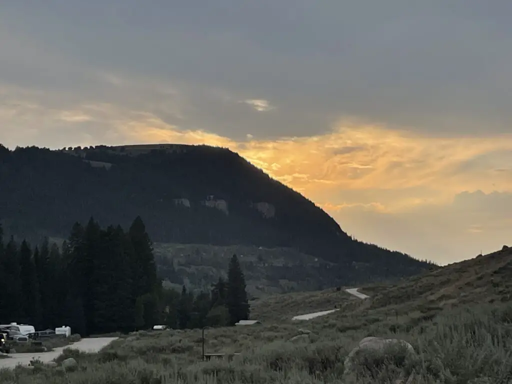
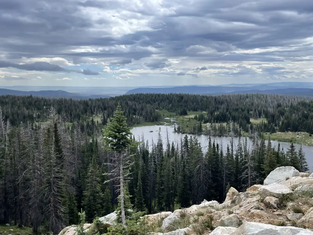
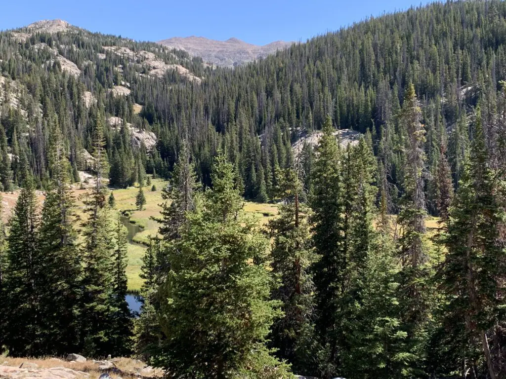
There wasn’t much shade at the campground. Sadly, this area has been hit BADLY by beetle kill in recent years. The Forest Service has done a good job of cleaning up all the dead trees near the Snowy Range campgrounds which is incredibly important for safety, it just means most of them are fairly bare of trees now. 😕This does equate to lovely views of the night sky and sunsets/sunrises though!
Hiking in the Snowy Range
We found some great hiking trails in the Snowys!
Medicine Bow Peak Trail
We hiked from the Sugarloaf trailhead near Lewis Lake. This is one of the shortest routes to Medicine Bow Peak, though we decided not to hike all the way to the peak–it was less than a mile from where we stopped but it was incredibly steep, rocky, loose, potentially slippy, and exposed on a shelf-like trail. (Thunderstorms were also forecast for the afternoon and we didn’t want to get caught out in such an exposed area.)
In addition to the Sugarloaf Trailhead, there are multiple trailheads you can use to access Medicine Bow Peak. The longest (but relatively easiest) is from Lake Marie. You can also access the trail from Mirror Lake and Brooklyn Lake, though these routes require a longer trek and combining multiple trails.
Is Medicine Bow Peak Trail Hard?
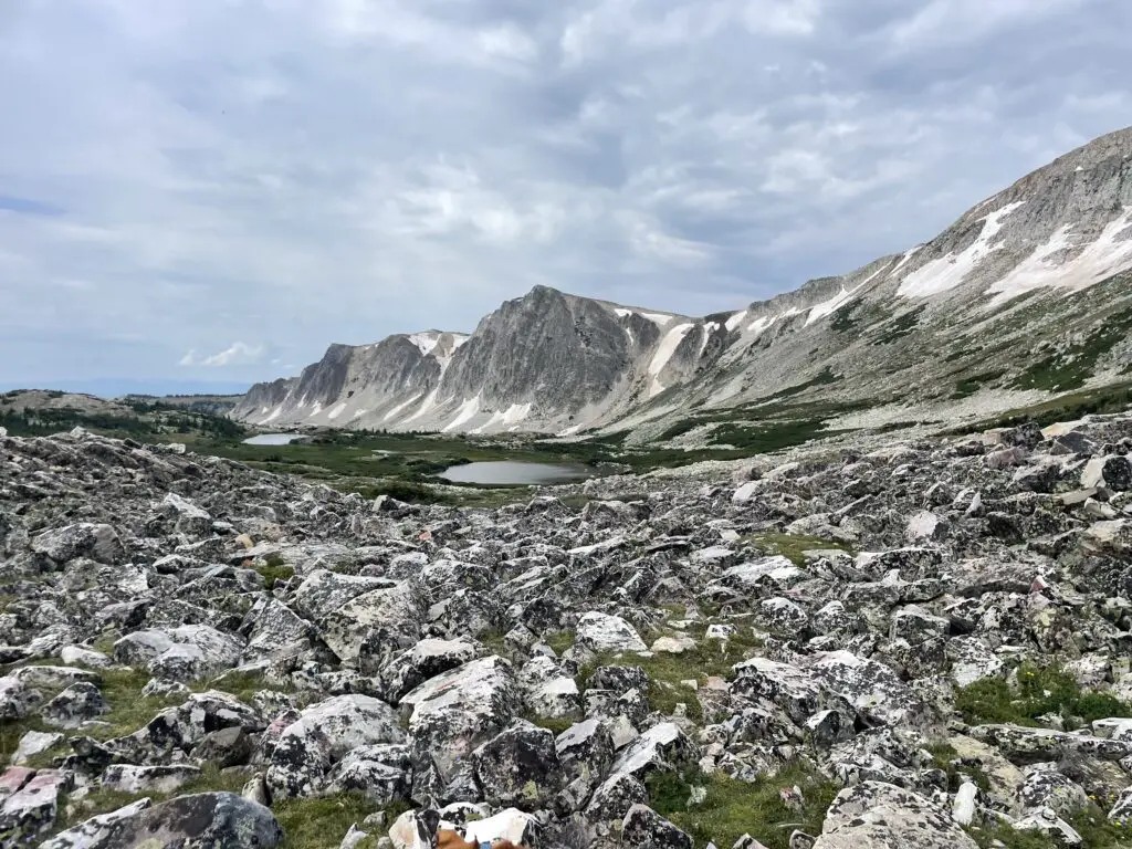
The trail from Lewis Lake is only about three miles long in total length but don’t let that fool you. It gains more than 1000 feet in elevation during the hike up. It’s also INCREDIBLY rocky and exposed, not to mention HIGH. (You start at over 10,000 feet and end up at almost 12,000 feet.)
Also, you’re above the tree line for the entire route so there is NO SHADE! This can also cause the trail to become INCREDIBLY slick in the rain, mist or snow–and note, snow and ice lasts LATE into the season and comes EARLY in the High Country. It can snow at any time of the year and thanks to monsoonal moisture, rain was forecast for our entire trip (it rained on us every day). Also, there is absolutely NO PROTECTION from lightning up here during the violent summer thunderstorms that frequently occur.
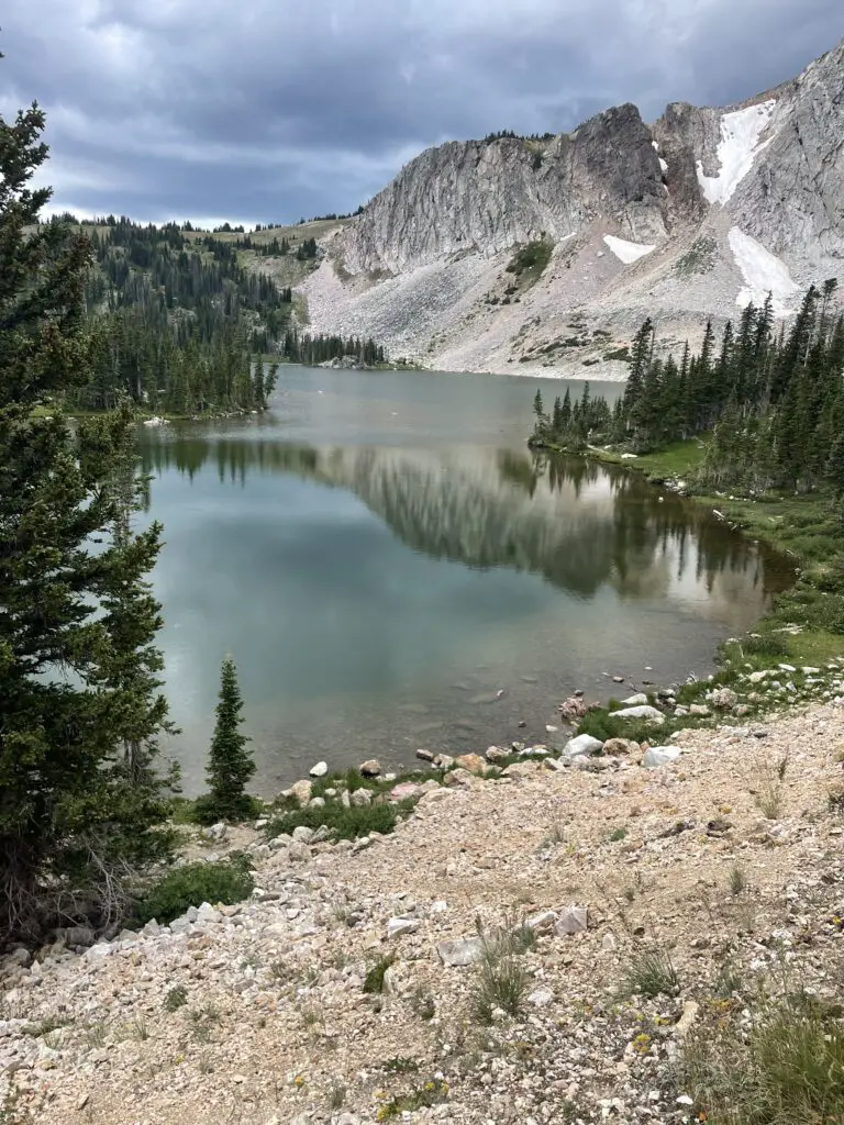
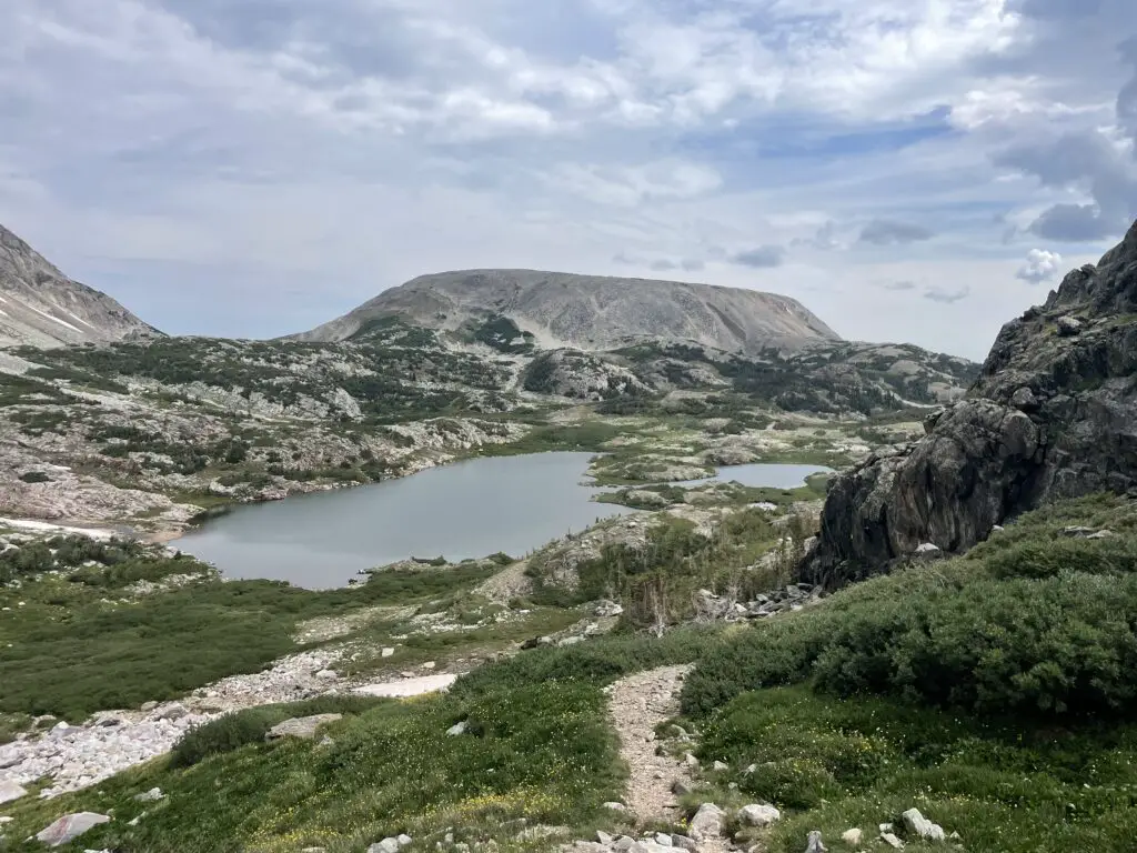
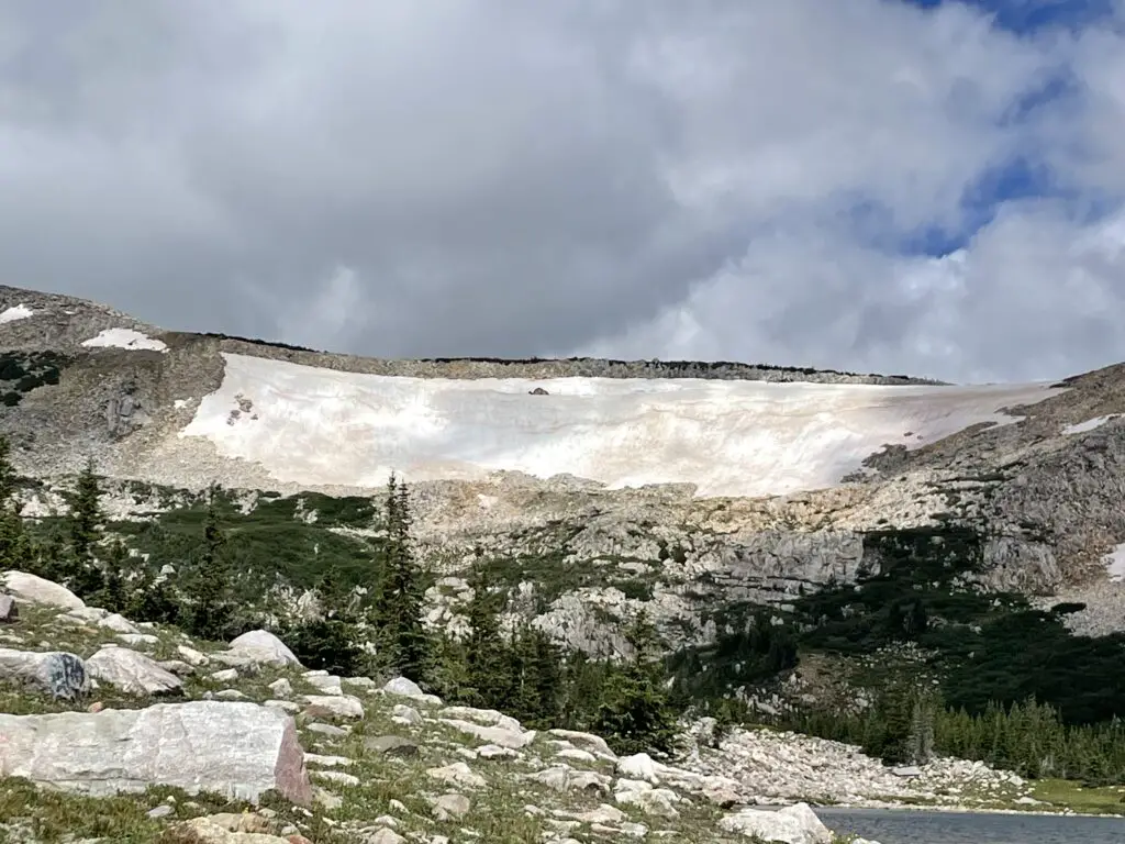
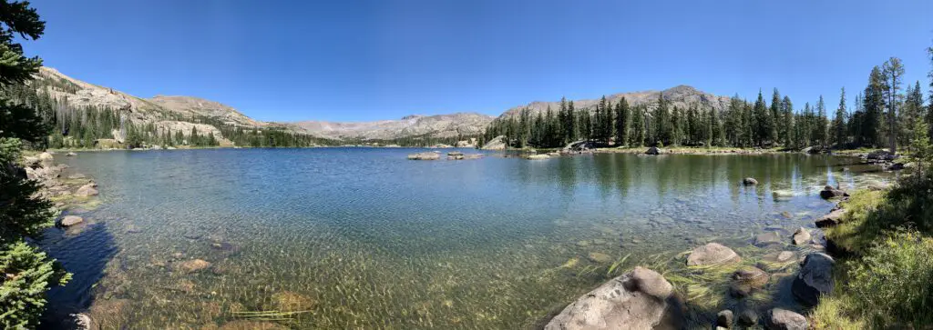
We chose to stop at a saddle where the HARD part of the trail starts. Here it also meets up with the other end of the Medicine Bow trail that comes up from Lake Marie. This trail is LOVELY though! You hike along the spine of the Snowy Range getting amazing views of the local lakes, the nearby mountains, and the surrounding landscape. At one point we could make out eight separate, small lakes!
I would rate the early portion of the trail (before the saddle) as moderate for sure. It isn’t overly difficult or long–we saw several families with young children. It is a bit rocky and there is some scrambling required in a few, short areas.
The most difficult part about this trail is just that it’s incredibly exposed and high (as I said before, entirely over 10,000 feet). There are no steep drop-offs directly from the trail though, so as long as you are a fairly capable hiker, you take it slow and you respect the conditions, you should do okay.
Though we didn’t have to navigate any actual snow in early August, there were still some snowfields along the trail. I can’t speak for how normal this is due to all the snow the West got that year (though they must call this area the Snowys for a reason!)
Lost Glacier Lakes Trail to Lost Lake
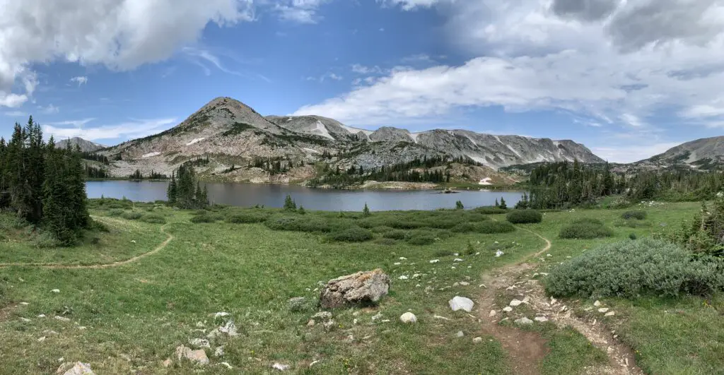
Lost Glacier Lakes trailhead is found on the east side of the Snowys. It starts from Brooklyn Lake and heads west. The route to Lost Lake is about six miles in total length (out and back).
From Lost Lake, the trail continues on to where it meets up with the Medicine Bow Peak trail at Lewis Lake and the Sugarloaf Trailhead (see above). The entire Lost Glacier Lakes Trail from Brooklyn Lake to Lewis Lake is a little over eight miles (in one direction).
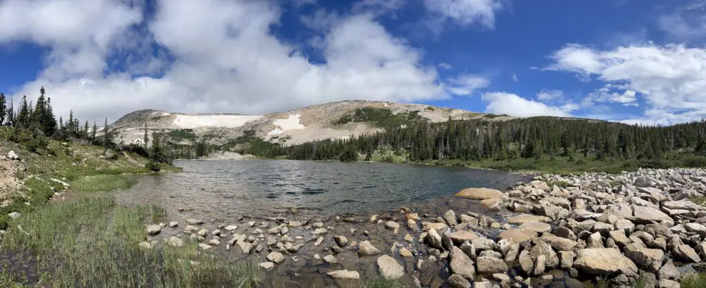
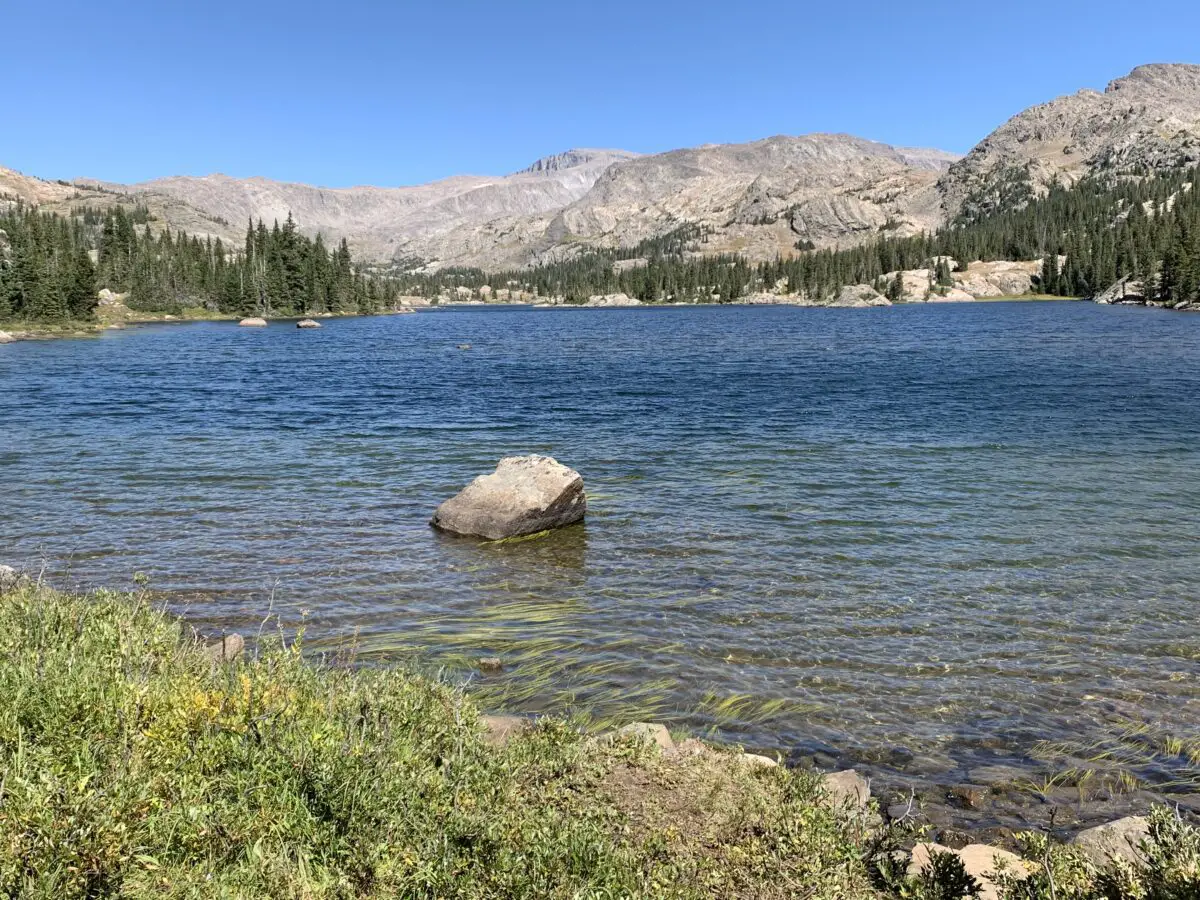
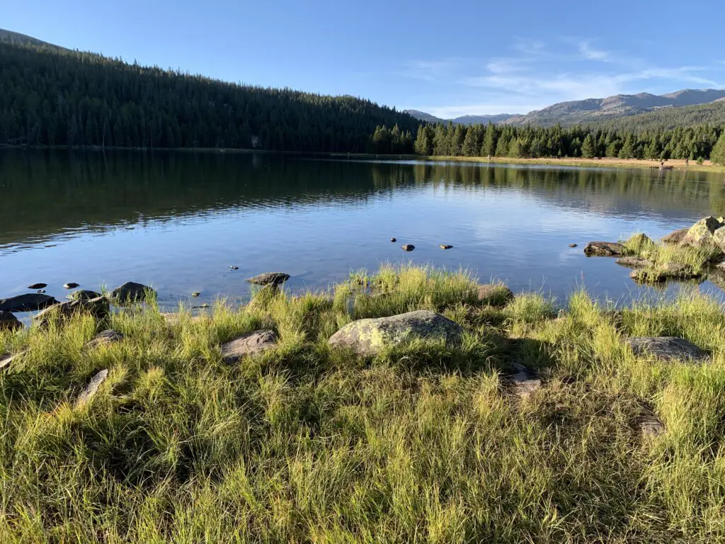
Lost Lake was SO BEAUTIFUL! It reminded me of Lake Helen in the Bighorns!
Is Lost Lakes Trail Hard?
The Lost Glacier Lake Trail is a lot of fun! It offers very little elevation gain and is mostly a wide, dirt path throughout. Be watchful for the occasional tree root and rock, but there is very little scrambling required. This is a kid-friendly trail! (Just remember the entire trail is still above 8,000 feet!) This trail is also below tree line so there is a lot more shade (and it’s much less exposed) than what you’ll find on the Medicine Bow Peak Trail.
We really enjoyed this trail! It offered nice views of the lower lakes and plains of eastern Wyoming. On clear days you can also spot some of the high peaks of the Rockies down in Colorado.
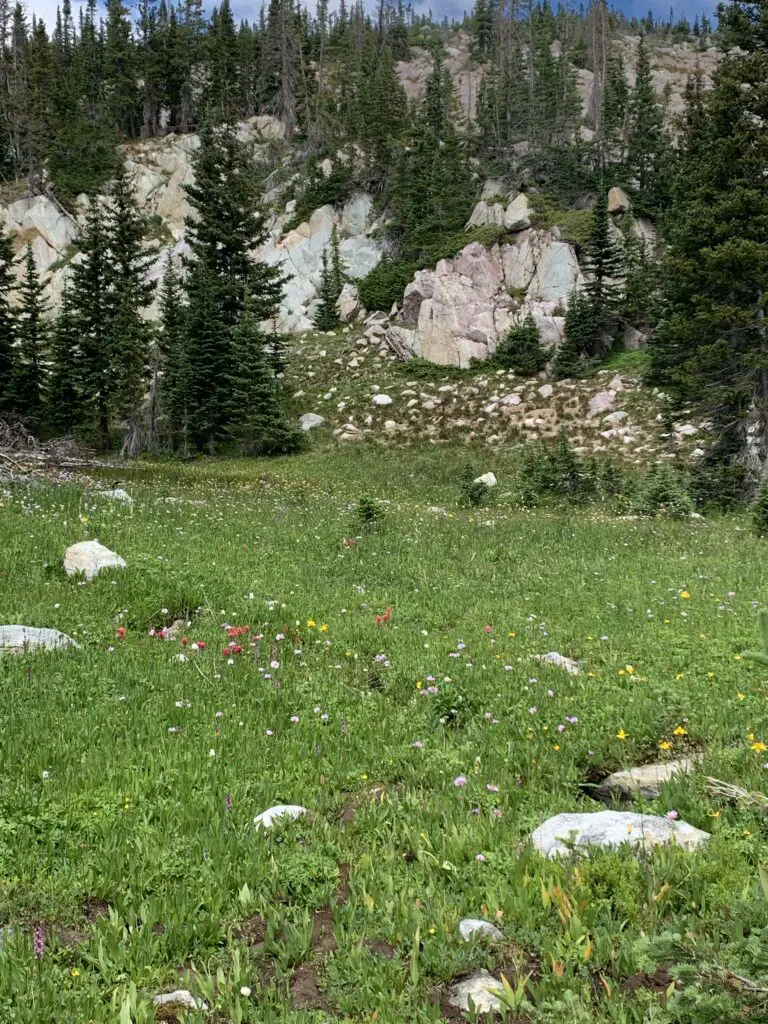
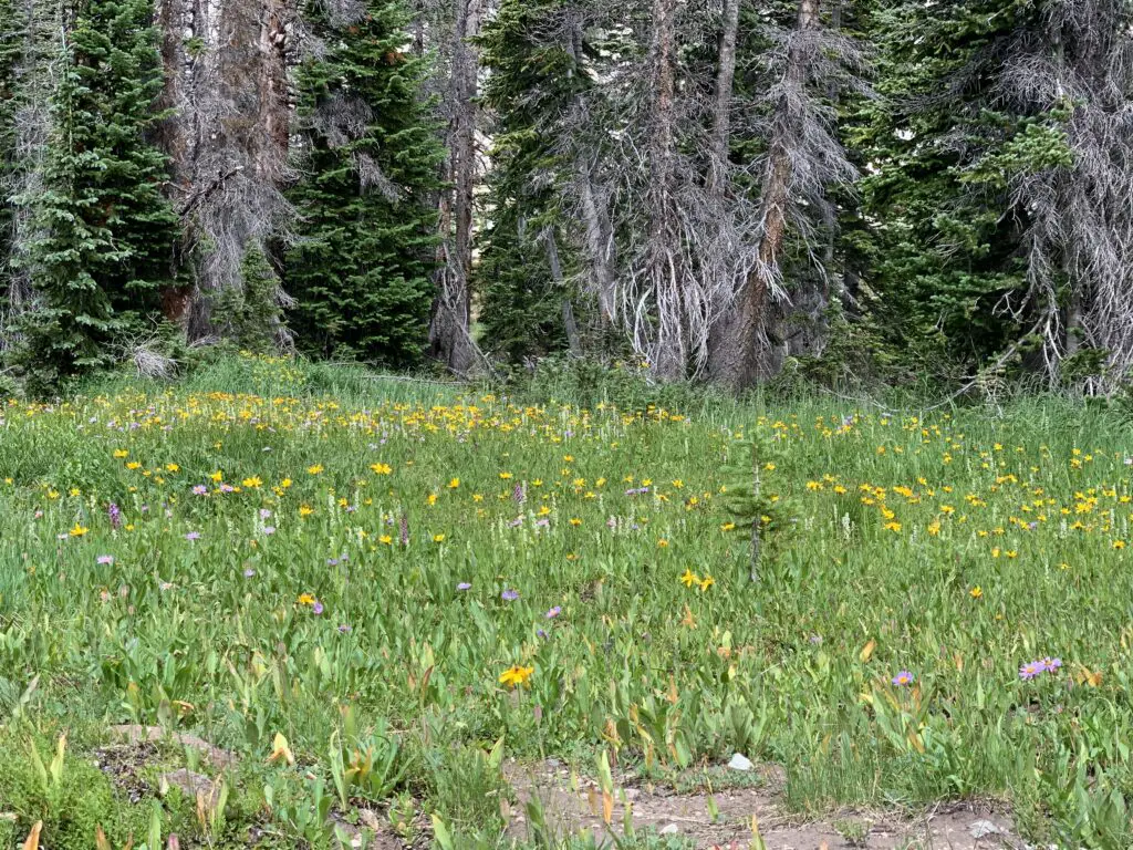
Below are some pictures of the wildflowers we saw on the Lost Glacier Lakes Trail. The pictures don’t do the colors justice, of course. The flowers were absolutely BEA-Utiful!
Camping in the rain!
As I mentioned earlier, our trip was at the start of Monsoon Season in that area so it rained every day of the trip. That’s okay though, part of “roughing it” in the wild is dealing with whatever weather Mother Nature decides to throw at you! A few tips on tent camping in the rain…
—-Spend money on a NICE tent (I recommend the REI brand) with a rainfly that covers the entire tent and reaches almost to the ground. Our tent stayed completely dry inside even though we got rained on all three days we were out!
—-Make sure nothing important is touching the walls of the tent (clothes, bedding, etc.) I can’t explain it but there is this phenomenon where if the tent is wet outside the water stays outside as long as nothing touches it from the inside. If something does touch it, that thing gets wet and the water seems to start seeping inside the tent.
This is probably some weird phenomenon of physics, but since I’ve never taken a physics class I can’t tell you any more about it. 😇
Scenic Byways!
We also drove several scenic byways in the Snowy Range! (Note: both of these routes are closed in the winter–they’re really only open May through November–and this is weather-dependent).
Snowy Range Scenic Byway
The Snowy Range Scenic Byway is Wyoming Route 130 that travels east-to-west through this portion of the Medicine Bow mountains. It runs from the Encampment/Saratoga areas in the West to Centennial, Wyoming in the East.
There are several nice pullouts along the Byway. Some of our favorites were:
Libby Flats: an open, meadow area in the higher elevations of the Snowys. It offers an observation tower and spectacular views of the surrounding countryside. We also saw a bunch of marmots here!
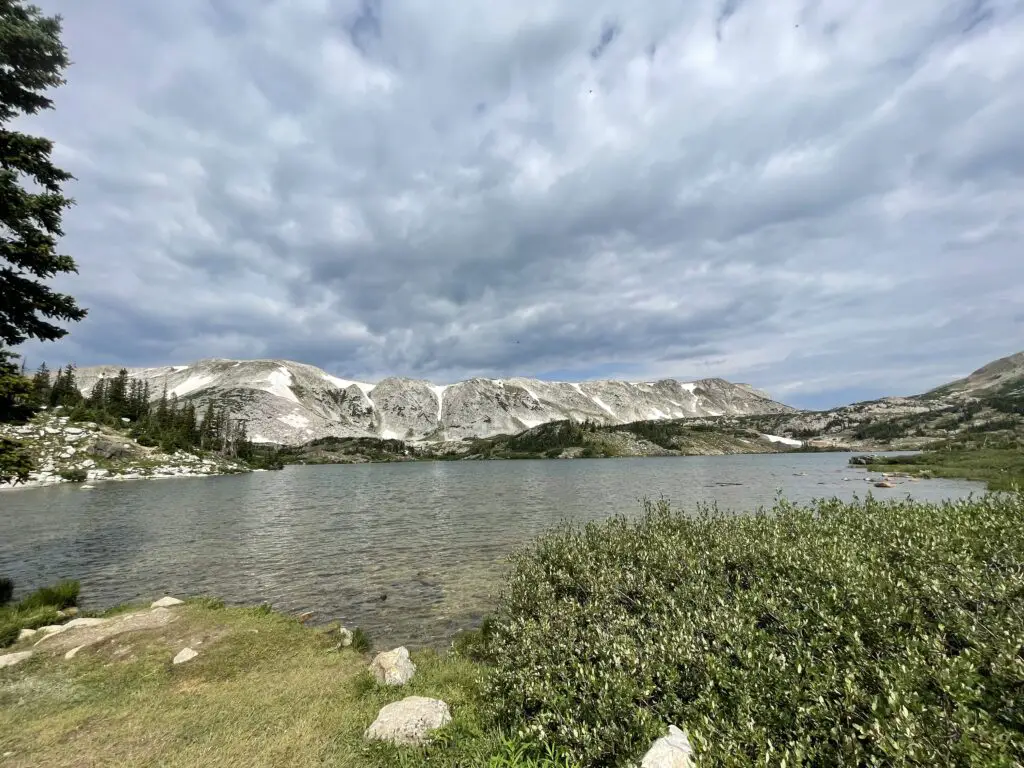
Lake Marie: a VERY pretty stop on the western side of the Byway. It offers a nice boardwalk and paved walking path that connects to the Mirror Lake picnic area just to the east. Other hiking trails break off from here, as well.
The Continental Divide! –Battle Pass Byway
Battle Pass Byway is Wyoming Route 70 that travels east-to-west through the Sierra Madre portion of the Medicine Bow mountains. It runs from Baggs, Wyoming in the West to Encampment in the East and crosses the Continental Divide.
So, if you’re looking for a great place to hike and camp that’s just across the border from the crowded trails in Colorado, check out the Snowys!
Have you spent time in the Snowy Range? Tell me about your experience in the comments!
Did you enjoy this post? Pin it!
Like what you read here today? Please feel free to leave a comment, like or share this post! Add your email at the bottom of the page, or the sidebar to the right, to be notified when a new post is published. By signing up for the email list, you will also receive a free copy of the Tranquil Trekker’s Top 10 Tips of Trekking Do’s and Don’ts! You can also follow the blog on social media by clicking the links below!
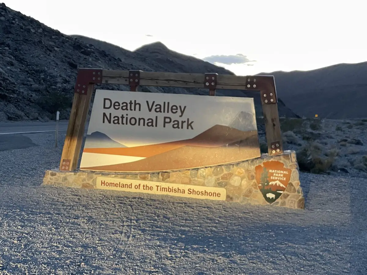
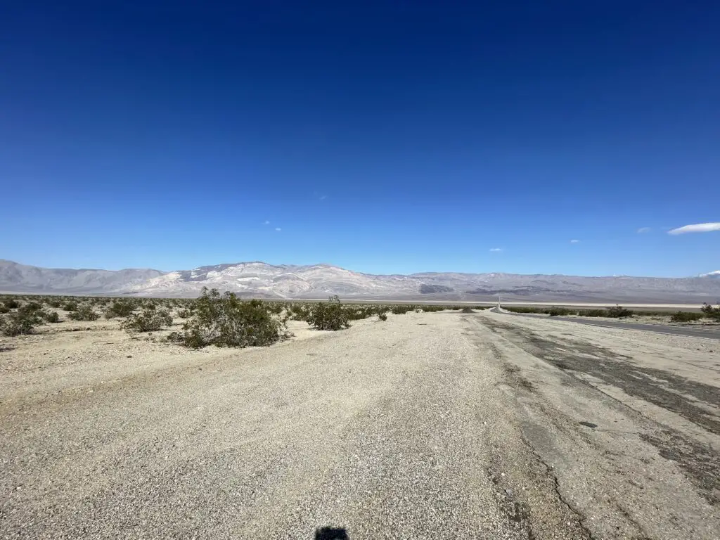
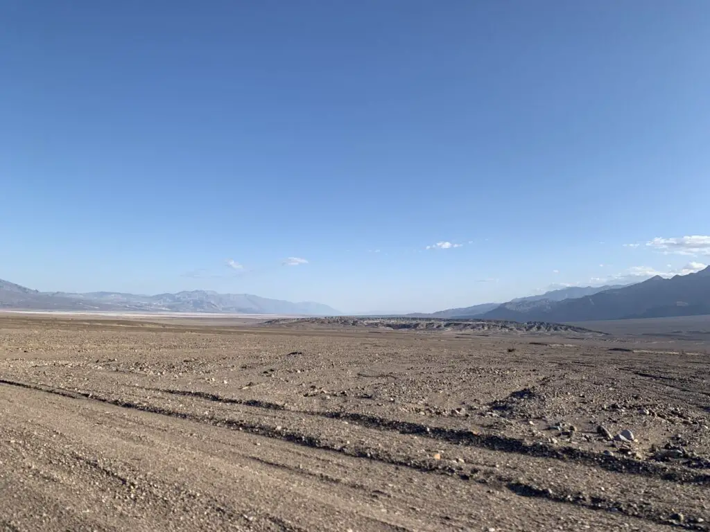
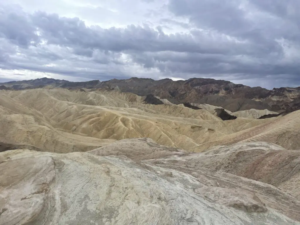
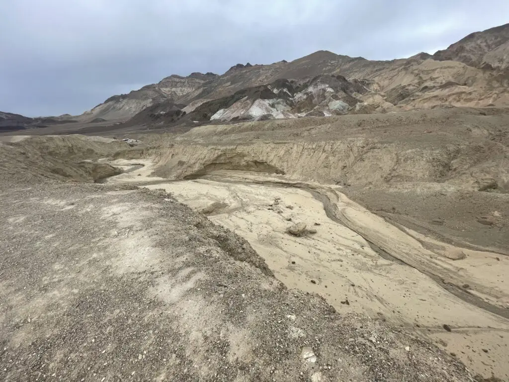
In this post, I detail a Spring Break trip we took to Death Valley!
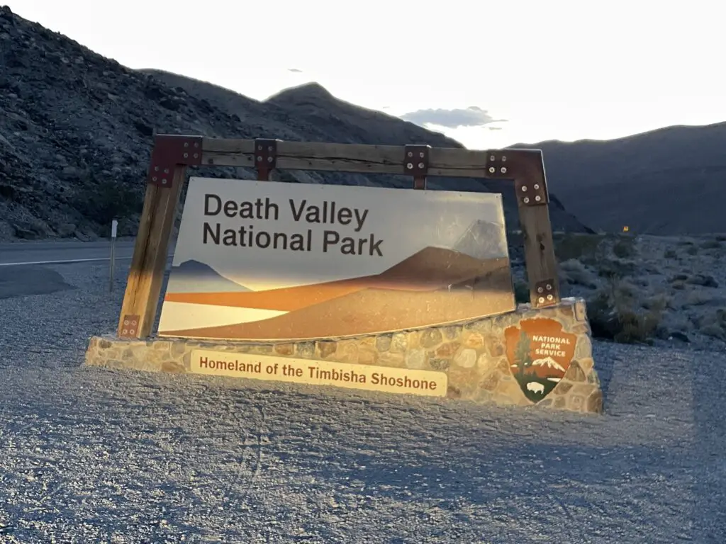
The final stop on our epic, Spring Break trip to celebrate the Trekkers’ 40th birthdays was Death Valley National Park! We’ve been wanting to visit Death Valley for a long time. We figured early March was hopefully a good (and cooler!) time to do it!
3 Tips for Your Visit to Death Valley:
–The heat in Death Valley!
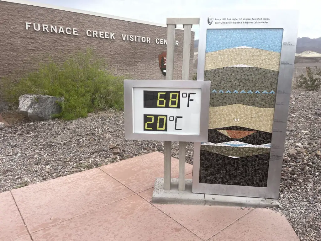
The heat in Death Valley is NOT a joke so PLEASE be careful! We were SO LUCKY that it was so cool when we were there (FYI, early March is a GREAT time to visit!) This place is literally on record as being the hottest place on Earth!
Death Valley is also extremely dry and can be very windy, which means you may be sweating (and getting dehydrated) and not even realize it. Some years, it has been known to be over 100 degrees here for almost HALF THE YEAR! I cannot stress enough the potential danger this type of heat can bring. Dehydration/heat stroke are very real dangers here for much of the year. This park can LITERALLY kill you!
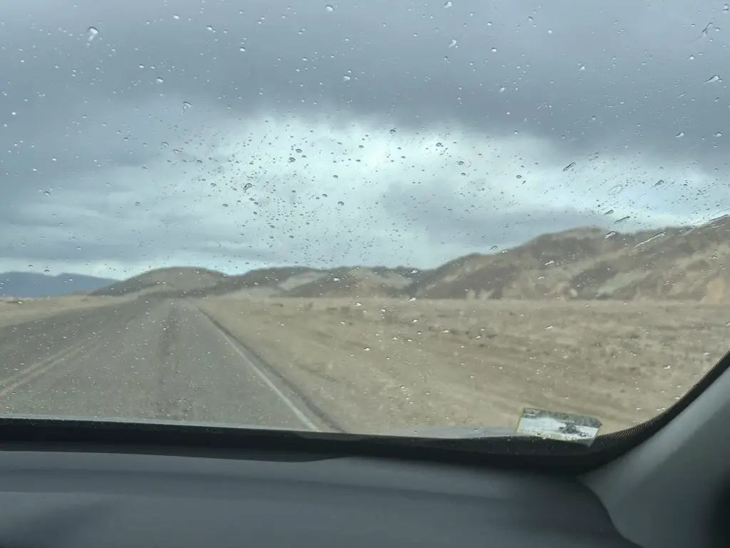
The heat can also be VERY hard on your car, and if it breaks down in the middle of the desert, you’re now stuck in the heat. There are almost NO TREES in Death Valley so there is also almost NO SHADE. We even saw one remote section of road where signs told you to turn off your car’s air conditioning to take the stress off the car’s engine (the road was also going uphill)–again, this wasn’t an issue with the cool temps when we were there. 😂
–No cell coverage in Death Valley
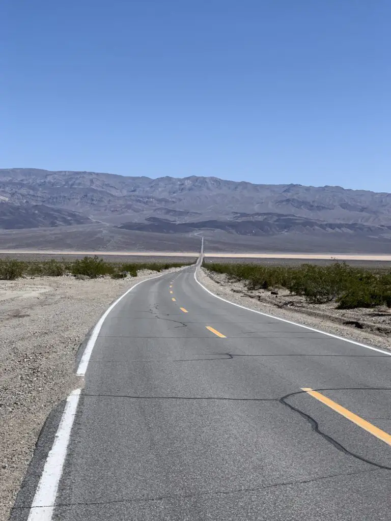
One big thing to plan for when you visit Death Valley is that the park is HUGE! It covers more than THREE MILLION acres so you should plan to do A LOT of driving! Also, it is a valley (duh! 😉) surrounded by mountains, so there is very little cell coverage–this adds to the danger the park poses if you encounter a problem.
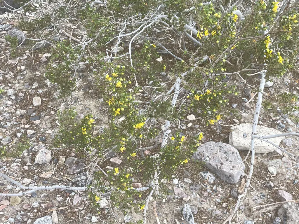
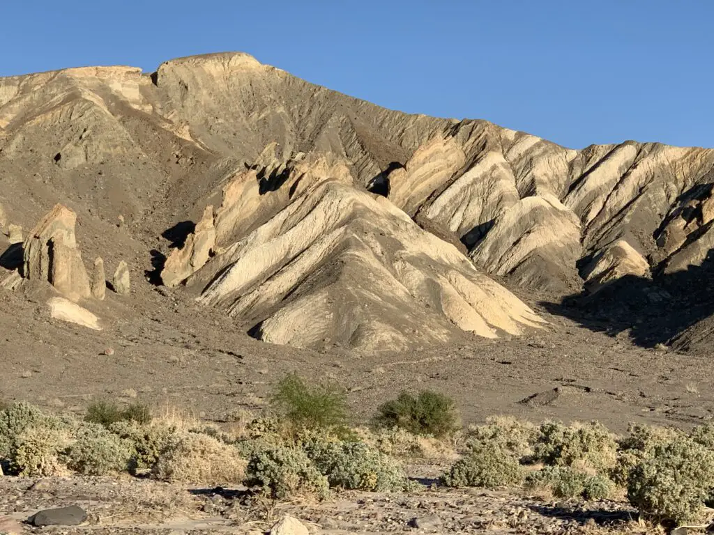
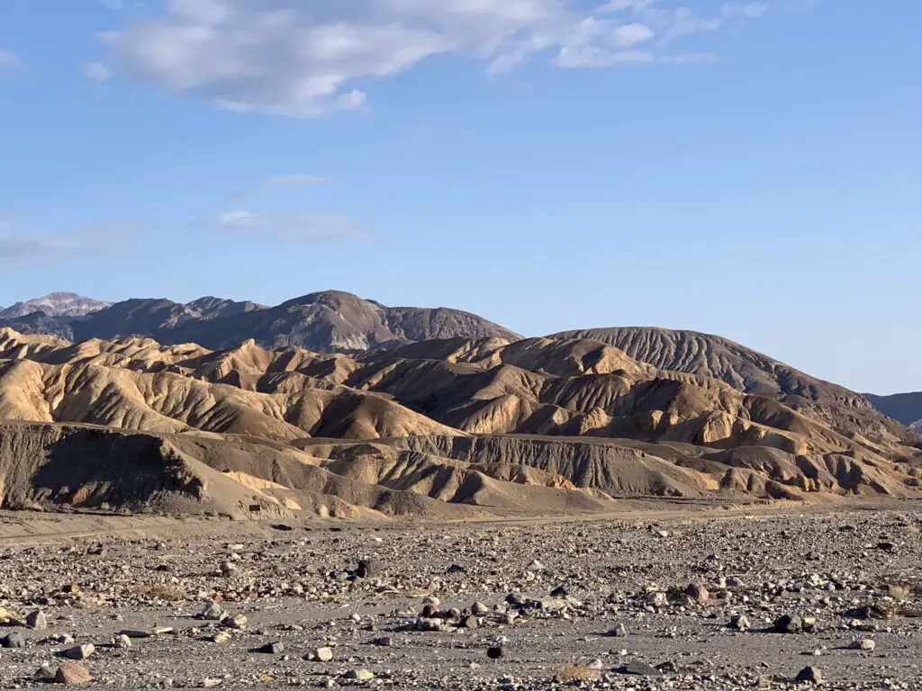
Also, something to be aware of, Death Valley isn’t the prettiest of our national parks. This comment is not intended to dissuade you from visiting in any way. I just don’t want you to be disappointed. Glacier NP this is not! 😇It’s called DEATH Valley for a reason! There isn’t much that grows or lives here! 😉
Where is Death Valley?
Death Valley is located in southeastern California, right on the border with Nevada. The park is situated about 130 miles west of Las Vegas and a little more than 200 miles to the northeast of Bakersfield, California.
The easiest way to reach Death Valley is to bring Nevada Route 160 west from Las Vegas to Pahrump. Then take State Line Road west to the Death Valley Junction on California Route 127. From there you pick up Route 190 and take that into the park! (Don’t worry, there are signs. Also, these are basically the only paved roads out there! 😉)
You can also reach Death Valley from the north by taking US 95 south through Nevada to California Route 374, or from the west on California Route 190.
Places you don’t want to miss in Death Valley:
There are a number of awesome sites to see at the park!
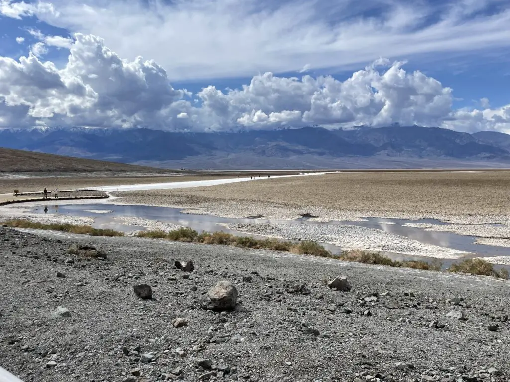
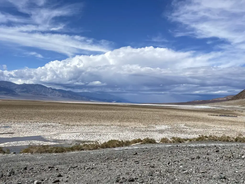
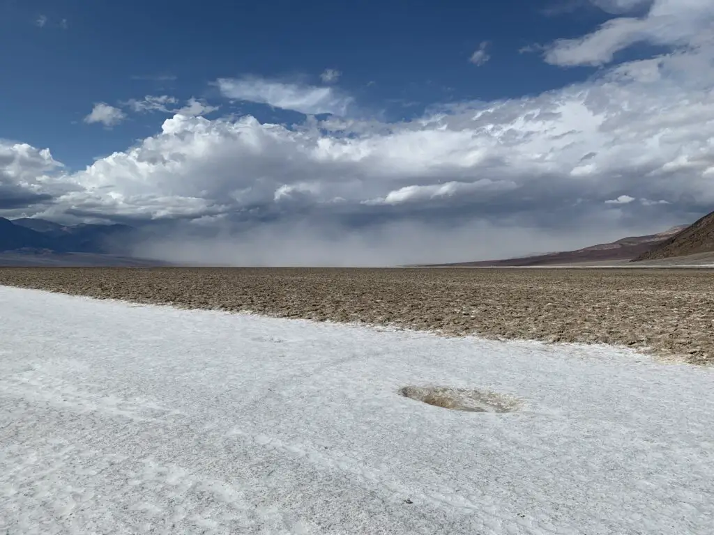
Badwater Basin:
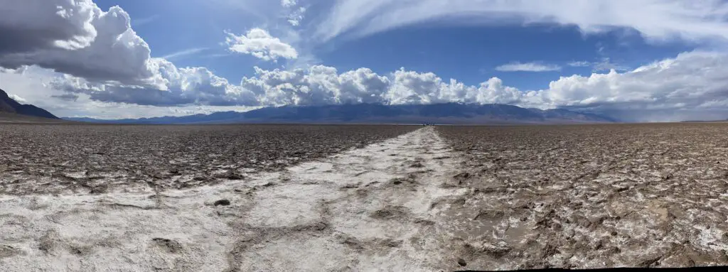
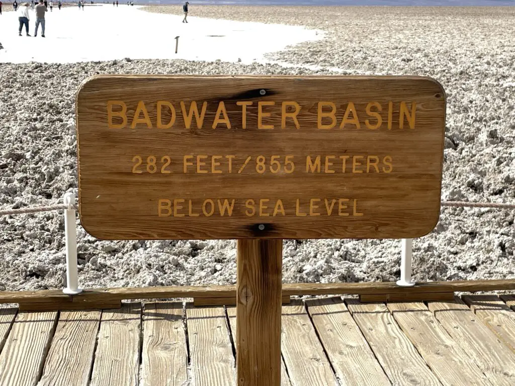
Badwater Basin’s claim to fame is that it is THE lowest point in North America, at more than 200 feet BELOW sea level!
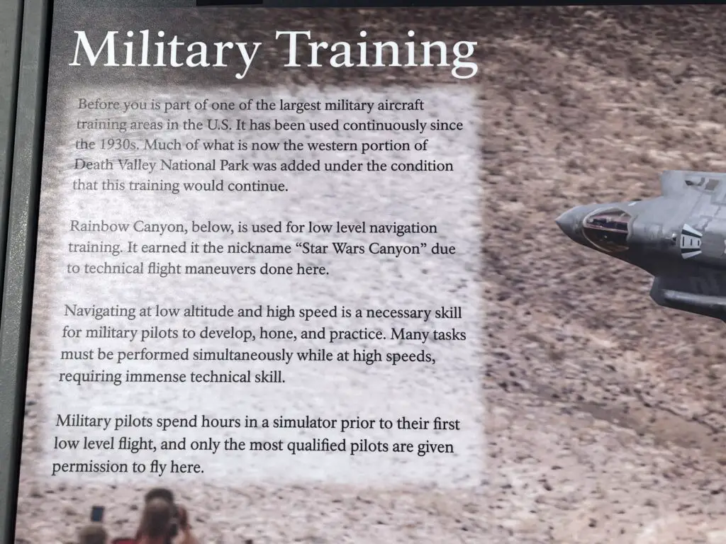
This locale is otherwise known as, “Star Wars Canyon”! Ironically this was NOT a Star Wars filming site (to learn more about those, scroll down!)–although portions of the new, Top Gun: Maverick were filmed here!
The proper name for this canyon is Rainbow Canyon, from the colorful rock and gravel that comprises it. However, it got its nickname as fighter jets have often practiced low-altitude moves here (the terrain mimics much of where they fly throughout other parts of the world.)
This has been a Bucket List item on both the Trekkers’ lists since Mr. Trekker heard you could see fighter jets here and I found out it was called Star Wars Canyon (and why!)This meshed well with our watching planes at Nellis Air Force Base in Vegas and touring the Extraterrestrial Highway earlier in the trip!
Sadly, several years ago there was an accident where the pilot was killed and spectators on the ground were injured so they’ve limited what all the planes can do here…but, you can sometimes catch a plane and…WE DID (two actually)! We didn’t get any pics or video (literally, we heard it, we saw it, it was gone, all in a total of about three seconds). 😁
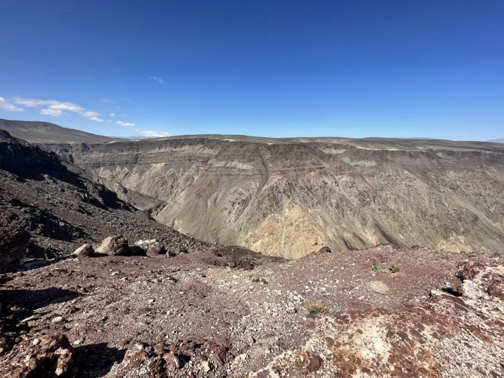
Panamint Valley
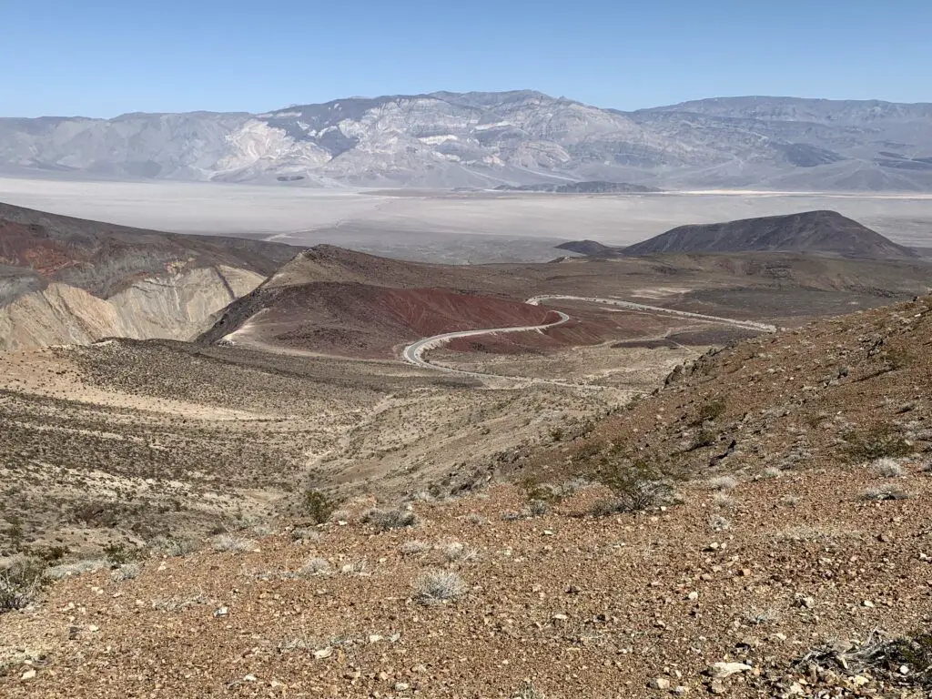
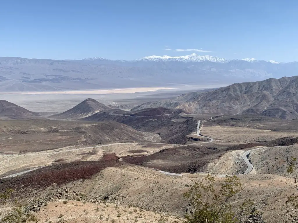
This GORGEOUS valley is situated just down the road (about seven miles) to the east of Father Crowley Overlook. This was my absolute, favorite spot in all of Death Valley (that we saw anyway). (We also saw a fighter jet flying through this valley (from the Father Crowley Overlook!)
One weird thing about this valley was that it was SO QUIET! All you could hear was the light breeze ROARING in your ears (and occasionally a fighter jet flying overhead! 😝) We realized what was missing, there were no birds and there weren’t even any bugs buzzing about. I’m not sure if this is unique to Death Valley or because we were there in early March (though a lot of literature on the park talks about the extreme quiet.)
Zabriskie Point:
This is supposed to be a great place for sunrise/sunset with the varying colors in the rocks!
Star Wars Sites in Death Valley National Park
Many people don’t know this but several scenes from the ORIGINAL Star Wars trilogy were filmed in Death Valley! Most were from Star Wars, Episode 4: A New Hope (SW), but a few were also from Episode 6: Return of the Jedi (ROTJ)! Prepare yourself, my nerd flag is about to fly high! 😉
Note: There were no signs or literature that we saw at the actual park that show where filming sites are. There is plenty of info on Google about where to look, then you have to kind of use your imagination to put droids, Luke Skywalker, and Obi-Wan Kenobi there. 😉
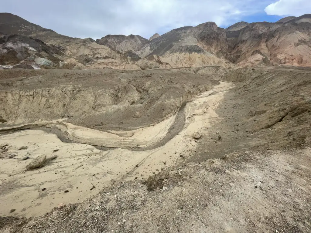
Artist’s Palette:
The scene where the Sand People attack Luke in SW…
Mesquite Sand Dunes:
The droid scene near the beginning of SW was filmed here (where R2-D2 and C-3po walk through the dunes after their spacecraft, life raft crashes. Jabba the Hutt’s sail barge scenes from ROTJ were also filmed here.)
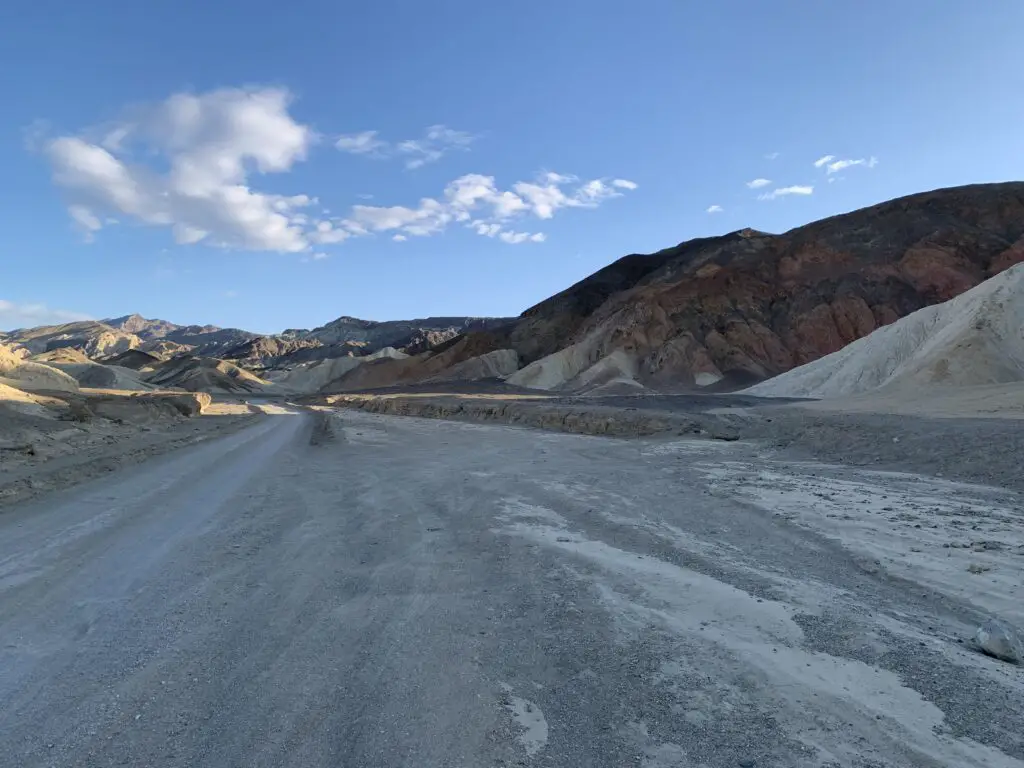
20-mule canyon:
The scene where the Jawas grab R2-D2 and where Obi-Wan’s home is located/where he meets up with Luke for the first time in SW. Also, the first droid scene from ROTJ was filmed here.
Dante’s Point:
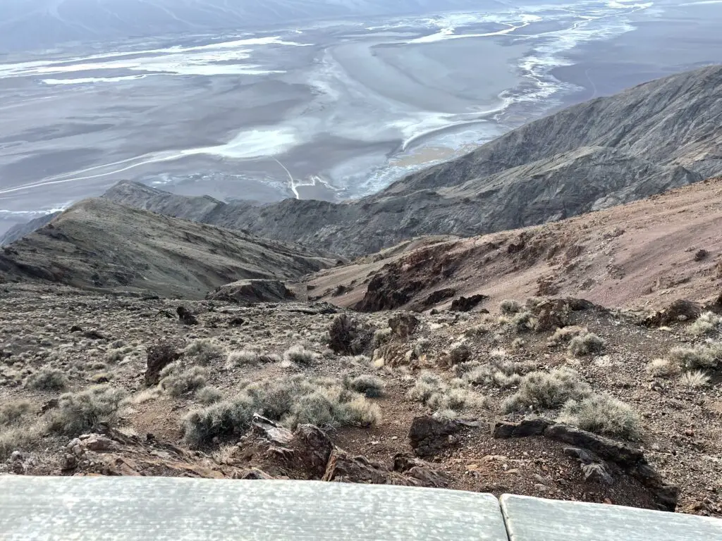
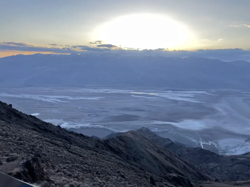
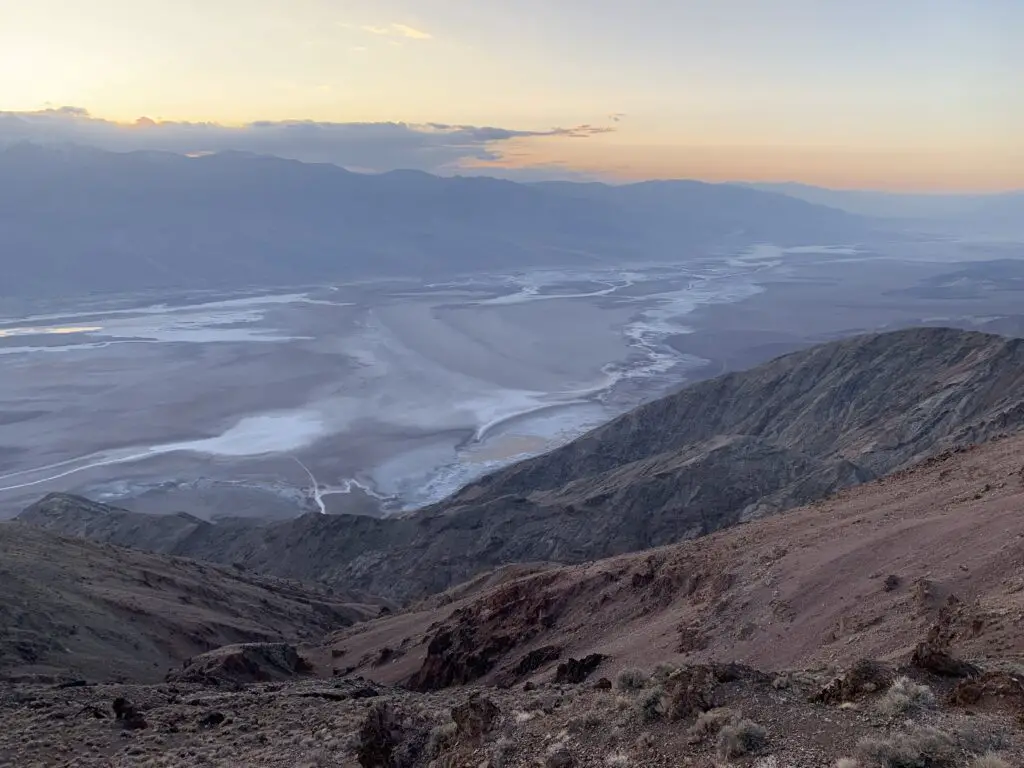
The lookout on top of the Point gives you this view down into Badwater Basin (this was the filming spot for the Mos Eisley Spaceport in SW–“you will never find a more wretched hive of scum and villainy…” 😁)
I-70 through Utah is GORGEOUS!
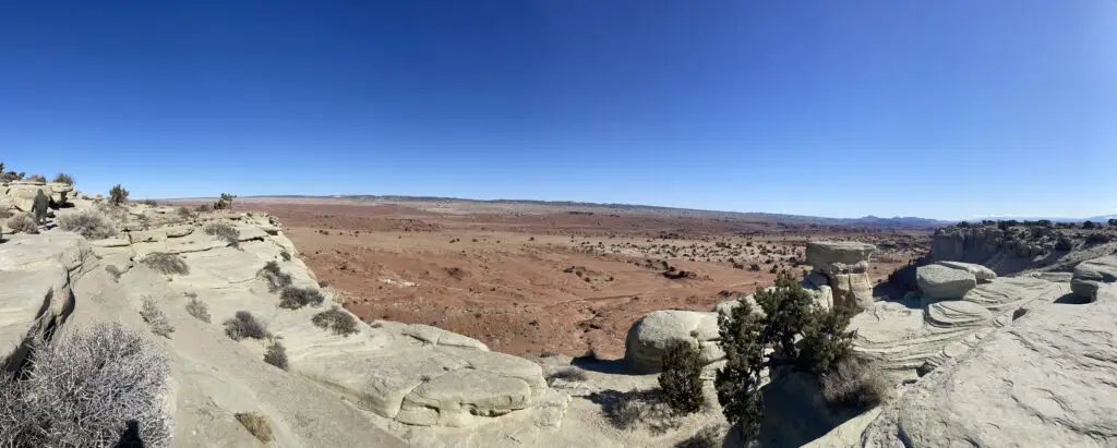
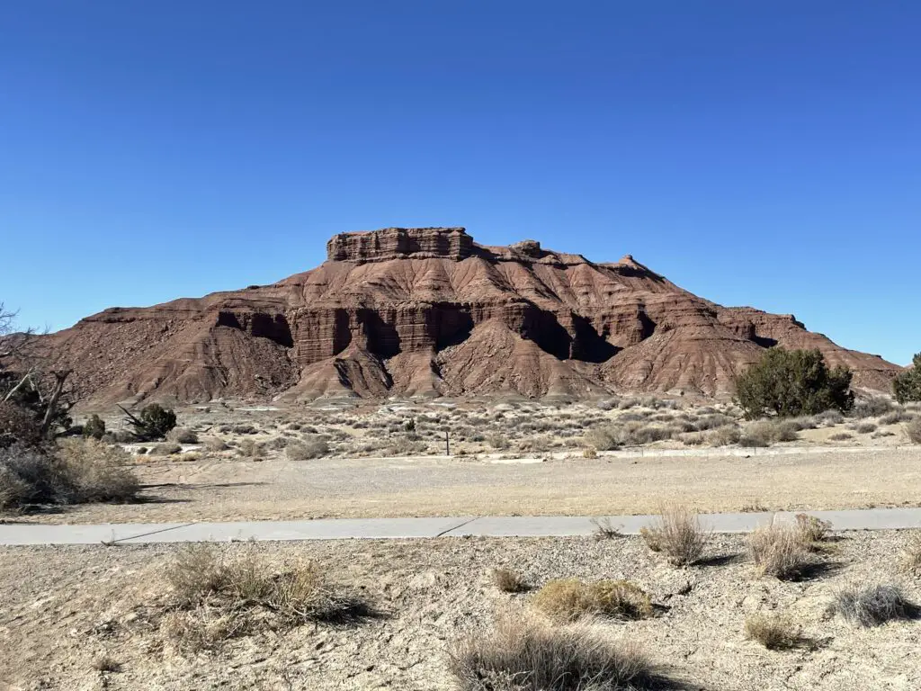
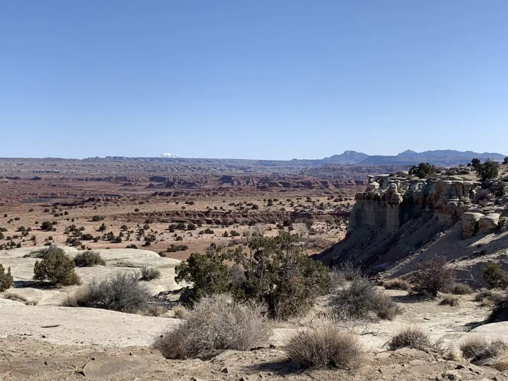
On our trip home, to South Dakota, we took I-70 through Utah. I’ve always thought I-70 through Colorado was pretty (and it is!) but the highway through Utah is INCREDIBLE! And literally, anyone can see these views, all you have to do is drive the highway!
Incredible views, Hollywood film sites, and potentially VERY hot temperatures. If you’re looking for a unique vacation check out Death Valley (but maybe not in the summer. 🥵)
Have you visited Death Valley? Tell me about your experience in the comments!
Did you enjoy this post? Pin it!
Like what you read here today? Please feel free to leave a comment, like or share this post! Add your email at the bottom of the page, or the sidebar to the right, to be notified when a new post is published. By signing up for the email list, you will also receive a free copy of the Tranquil Trekker’s Top 10 Tips of Trekking Do’s and Don’ts! You can also follow the blog on social media by clicking the links below!
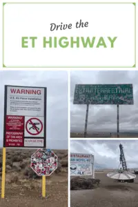
In this post, I detail our adventure through the Nevada desert on the ET Highway!
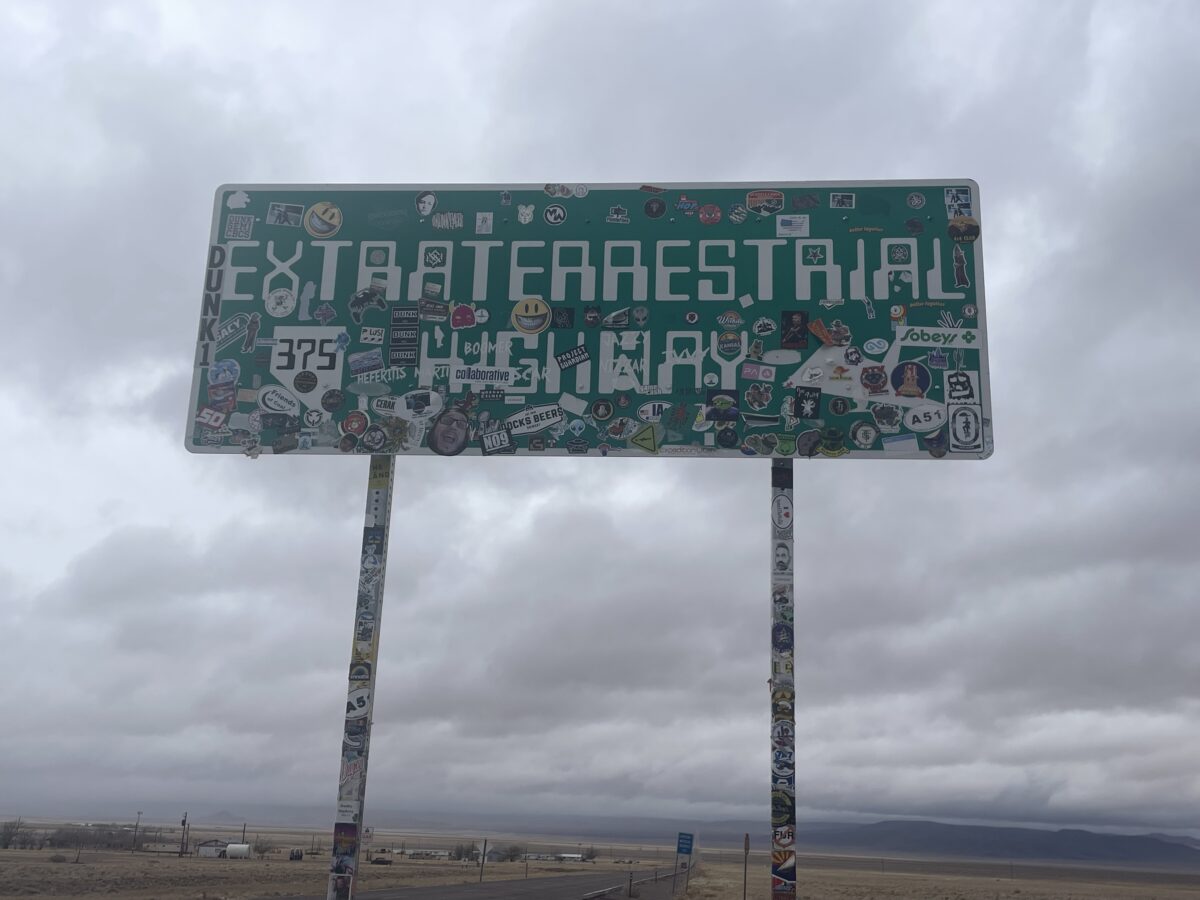
For me, the Extraterrestrial Highway was the highlight of our Epic, 40th birthday, Spring Break Trip! We actually somewhat designed the entire trip around THIS drive. 😁In fact, I enjoyed the ET Highway so much that I am dedicating an entire post to what amounted to only a few hours of our trip! Mr. Trekker gets nerdy about fighter jets (and the weather 😉), I get nerdy about aliens! 👽 🖖
The Extraterrestrial Highway has been a MAJOR Bucket List item for me for YEARS! It’s all thanks to one of my favorite movies, Paul! Paul is an amazing movie with awesome stars…that you’ve probably never heard of.
The movie came out in 2011 and is stupid-fun. 😁 It isn’t well-known and I have no idea why? It stars Simon Pegg, Nick Frost (if you are familiar with these two actors you can already guess what type of movie it is 😇); Kristin Wigg, Jason Bateman, and Seth Rogen voices the alien. It’s hilarious, fun, and literally one of my favorite movies EVER!
As you may have guessed from the actors, there is A LOT of swearing and adult humor in this movie. Depending on what kind of movies you let your kids watch I’d say it’s older teen-friendly. (It is rated R, for more info and a preview, click here!)
I won’t give away too many details but the basic plot of Paul is that an alien escapes from Area 51, finds a couple of nerds who he needs to help him get home and hilarity ensues. It’s kind of an ET for adults! 😁
Part of what makes the movie fun is that it spoofs so many other great alien movies: Star Wars, ET, Indiana Jones (ok, not an alien movie) Close Encounters of the 3rd Kind, and of course, Alien.
As part of the plot they visit a bunch of the “alien sites” in the desert southwest, and I’ve been wanting to see these since I first saw the movie. This trip was the perfect opportunity! (And it also inspired a book idea!)
Where is the Extraterrestrial Highway?
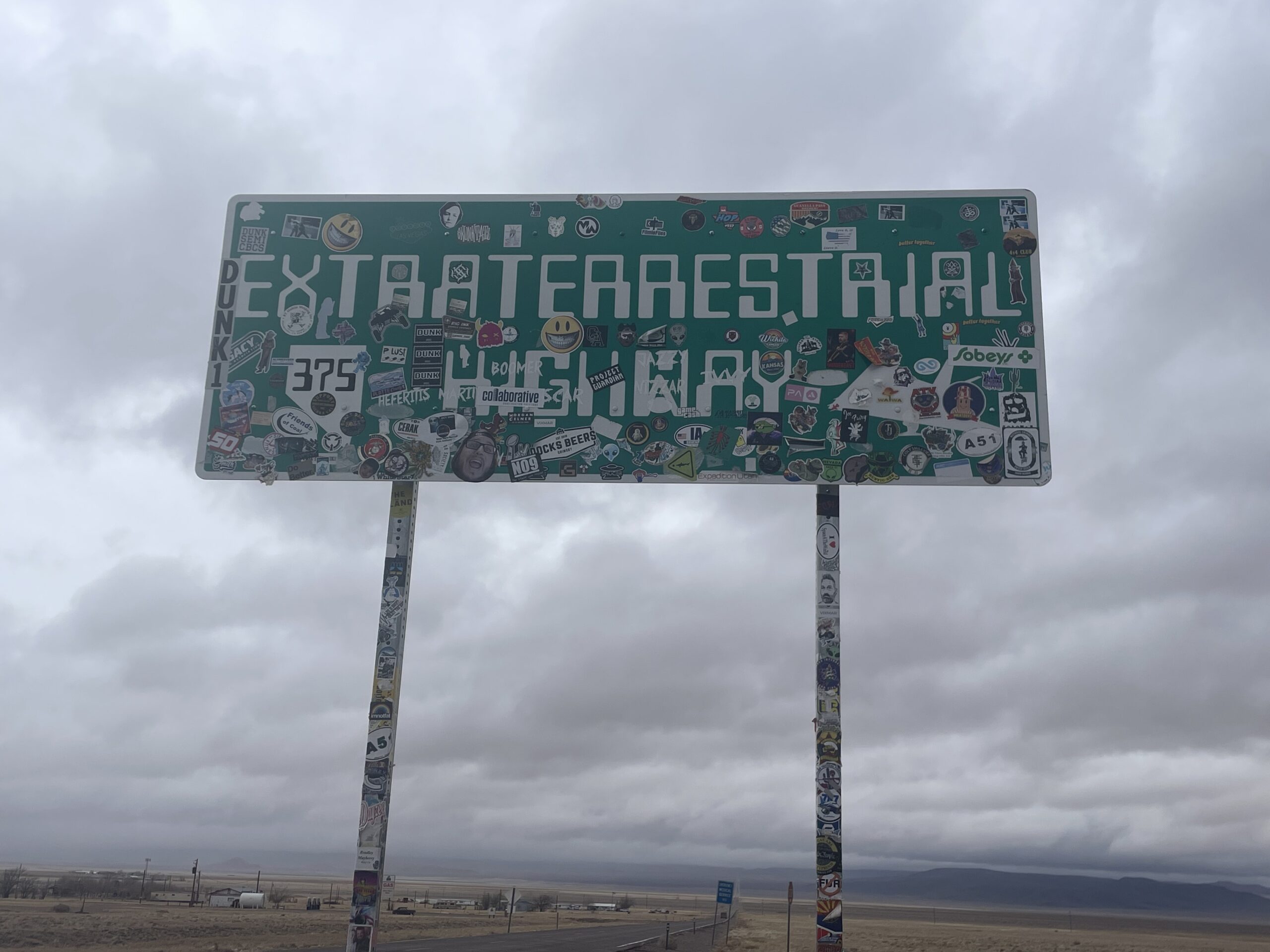
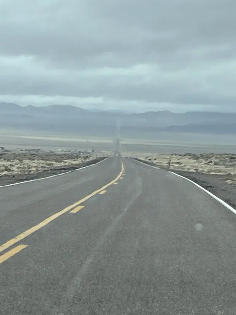
The ET Highway runs along the VERY rural Route 375 between Crystal Springs/Hiko and Warm Springs in southern Nevada!
The road got its name because it runs very near the infamous Area 51. It is also located in an extremely rural area where people claim to see strange lights in the dark, night sky. (We did talk to some locals who say they’ve seen weird stuff that they can’t explain.)
Alien Sites on the Extraterrestrial Highway
All of these sites can be found along and/or directly off of the ET Highway.
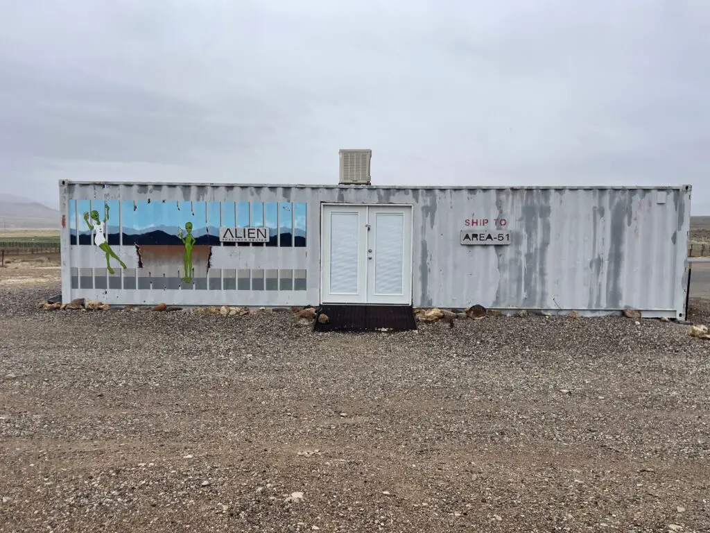
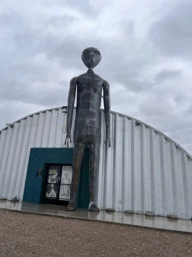
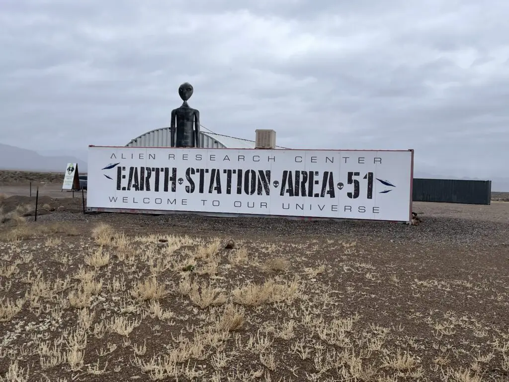
—Alien Research Center: This awesome place is located about seven miles south of Hiko, Nevada, and just to the west of Crystal Springs, on Route 375. (It’s literally the only thing in this spot, you really can’t miss it. 😉) It’s really just a tourist trap situated inside a Quonset hut. That being said, it is a MUST visit for any alien nerd. It is AWESOME! 😁
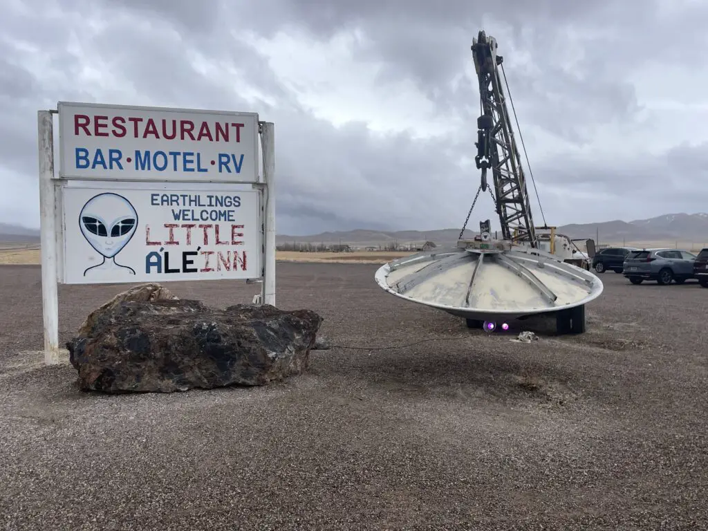
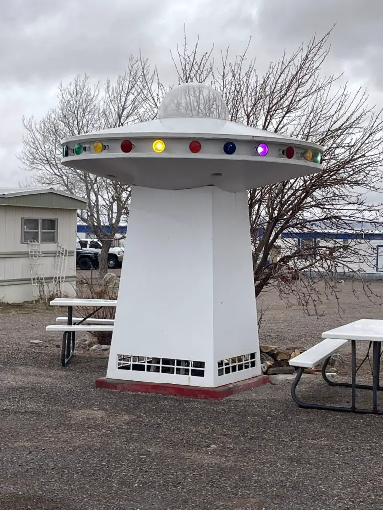
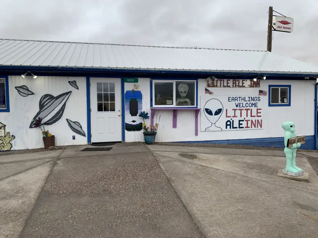
—Little A’Le’Inn: (pronounced “Little Alien”–get it? 😉) This is a small inn and cafe in the TINY “development”–can’t really call it a town–of Rachel, Nevada. It’s a good place for a potty break. The food is also good and the workers offer AWESOME tips on finding Area 51!
Some security guys from Area 51 were eating lunch there when we visited. How do we know they were from Area 51 you may ask? Well, they were wearing military fatigues, and driving creepy-looking, inconspicuous, government trucks (and the only government site for MILES around is, Area 51. 😁)
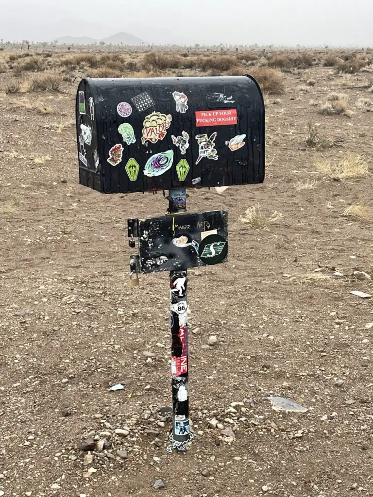
—The Black Mailbox: Rachel, Nevada–this is nothing but a dumb mailbox in the middle of nowhere but it’s fun! People put stickers on it and leave trinkets in it–it reminded me of the UFO Watchtower we visited on another Spring Break trip to the San Luis Valley of Colorado! The story goes that this is where secret, government mail for Area 51 was delivered (though there doesn’t appear to be ANY historical evidence this is true.)
—Area 51 (Dreamland Resort): Has anyone not heard of Area 51? I mean really? Watch the History Channel for five minutes! 😉
Area 51 goes by several names. It is also known as Groom Lake as this was an ancient lake bed. It is factually known to be an area where military aircraft have been tested and military, practice drills still occur (the infamous SR-71 was tested here during the Cold War). If you are lucky you may get to watch (and hear) military aircraft practicing not far above your head!
This page gives you all sorts of info on Area 51, the local area, “unexplained sightings” locally, and possible military traffic you can watch for.
We “almost” made it to THE Area 51! We were basically right next to it, but since it was actively raining (and had been raining/snowing for several days–because why wouldn’t it, in the desert? 😝) we opted not to take my CRV down the rutted, muddy path to reach the actual site. 😇 We did see the two roads that take you to the infamous locale, though.
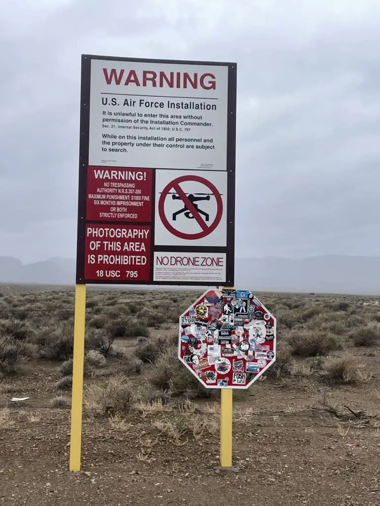
Note: if you venture to the site, you will be on a public road. Stop BEFORE you reach the gates. You will likely see security forces but they will leave you alone as long as you remain at a respectful distance. This is NOT a joke. From the stories we heard, these military police DO NOT have a sense of humor. 😝 For good tips on how to lawfully view Area 51 (and how to find it!) talk to the locals at the Little A’lé Inn.
So if you’re in the mood for a Road Trip and some Out-of-This-World fun, check out the Extraterrestrial Highway!
Have you driven the ET Highway? Did you have any otherworldly experiences? Let me know in the comments!
Did you enjoy what you read here today? Pin it!
Like what you read here today? Please feel free to leave a comment, like or share this post! Add your email at the bottom of the page, or the sidebar to the right, to be notified when a new post is published. By signing up for the email list, you will also receive a free copy of the Tranquil Trekker’s Top 10 Tips of Trekking Do’s and Don’ts! You can also follow the blog on social media by clicking the links below!
In this post, I detail our 40th birthday trip to Las Vegas and the Hoover Dam!
Mr. Trekker and I enjoyed an epic Spring Break trip to Las Vegas and the surrounding area to usher in both of us turning 40! We drove 3270 miles that week!
We had to take the LONG way to Vegas to avoid snowstorms on both I-80 through Wyoming and I-70 through Colorado. So, we drove south through Nebraska and the Colorado plains all the way to Trinidad, CO. Then we picked up I-25 to Albuquerque, New Mexico where we joined up with I-40, and took that to US 93, then the Hoover Dam, and Vegas!
This was not a typical vacation for us. The Trekkers are probably some of the worst people to visit Vegas. We barely drink or gamble (we only played–and lost–$5 on this trip! 🤑) and there weren’t any shows we were really interested in. 😂 When we go on trips we spend most of our time in the woods, not showering and using holes in the ground for toilets. 😯 Yet, we still had a pretty good time!
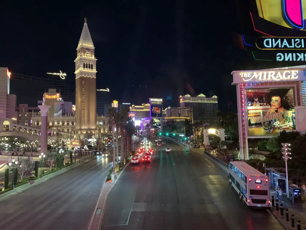
Las Vegas Casinos
We checked out most of the well-known casinos along the Vegas Strip. I was impressed that you can go into all the casinos/enjoy all the entertainment they offer regardless of where you are actually staying. You may have to pay an additional fee of course, but everything is accessible to everyone. Even places like the Bellagio Conservatory were free to everyone! It felt very egalitarian there…
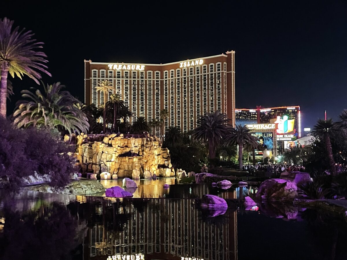
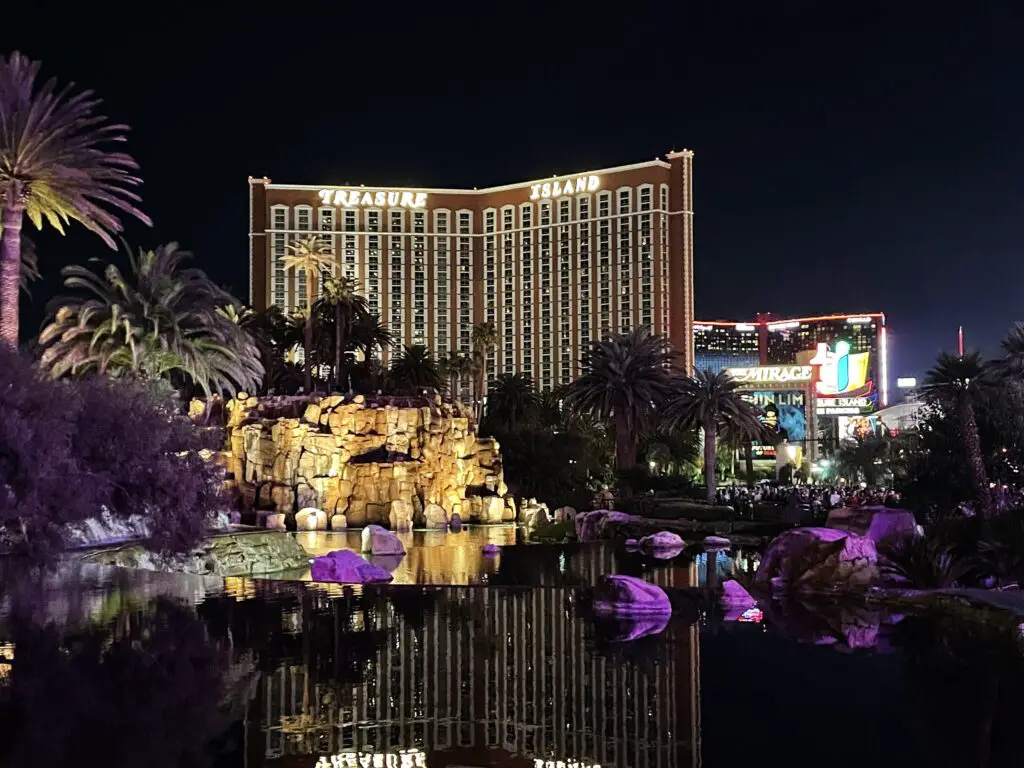
–We liked Treasure Island, it looked like a pirate ship inside. I also liked the pirate ship in the pool out front!
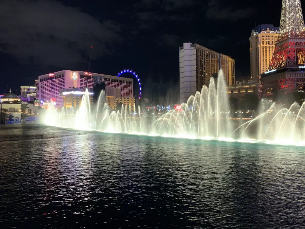
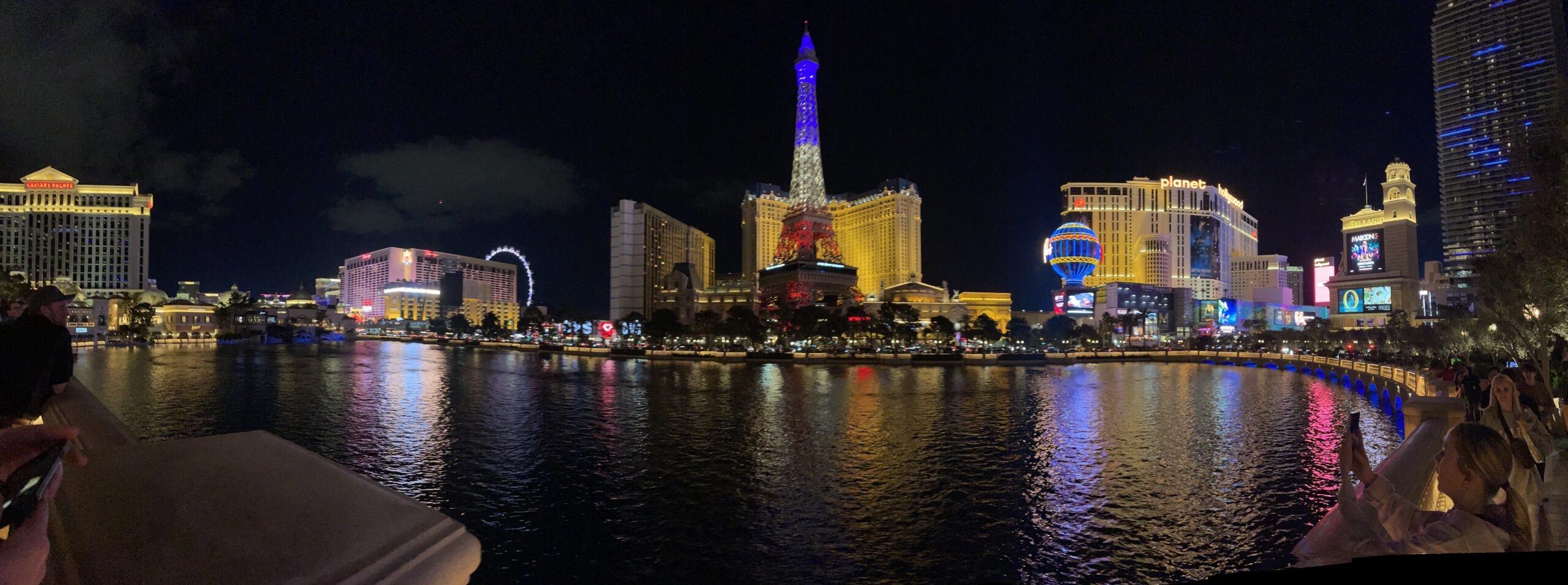
—The Mirage was cool. I especially enjoyed the Volcano show set to music! We LOVED the fountain show and the incredible conservatory at Bellagio!
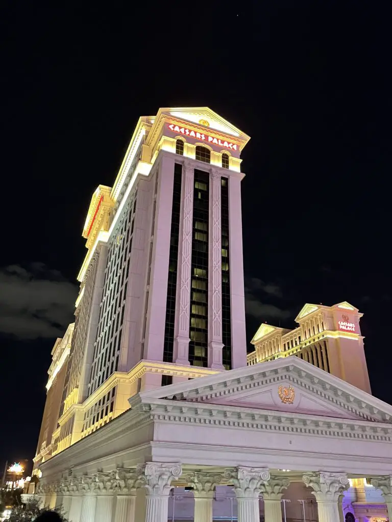
—Caesar’s Palace was very fancy but I found it felt somewhat confining with all the heavy wood and dark carpet/chair coverings.
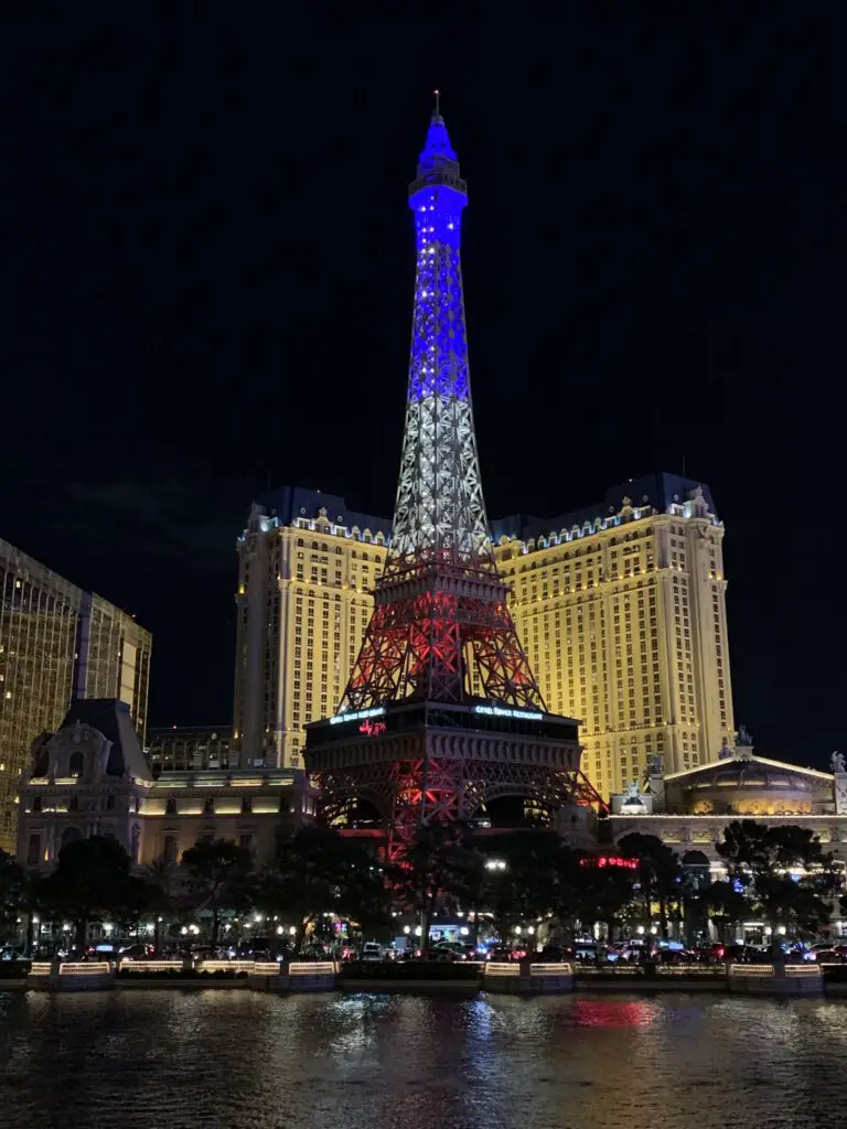
—The Pariswas our favorite, if we ever go back again we’d like to stay there. The actual atmosphere inside was almost calming. The ceiling looked like blue sky with white, fluffy clouds. It was set up like you’re walking through the streets of Paris along shops and restaurants. They even had a city-like walking bridge in the center of the main room!
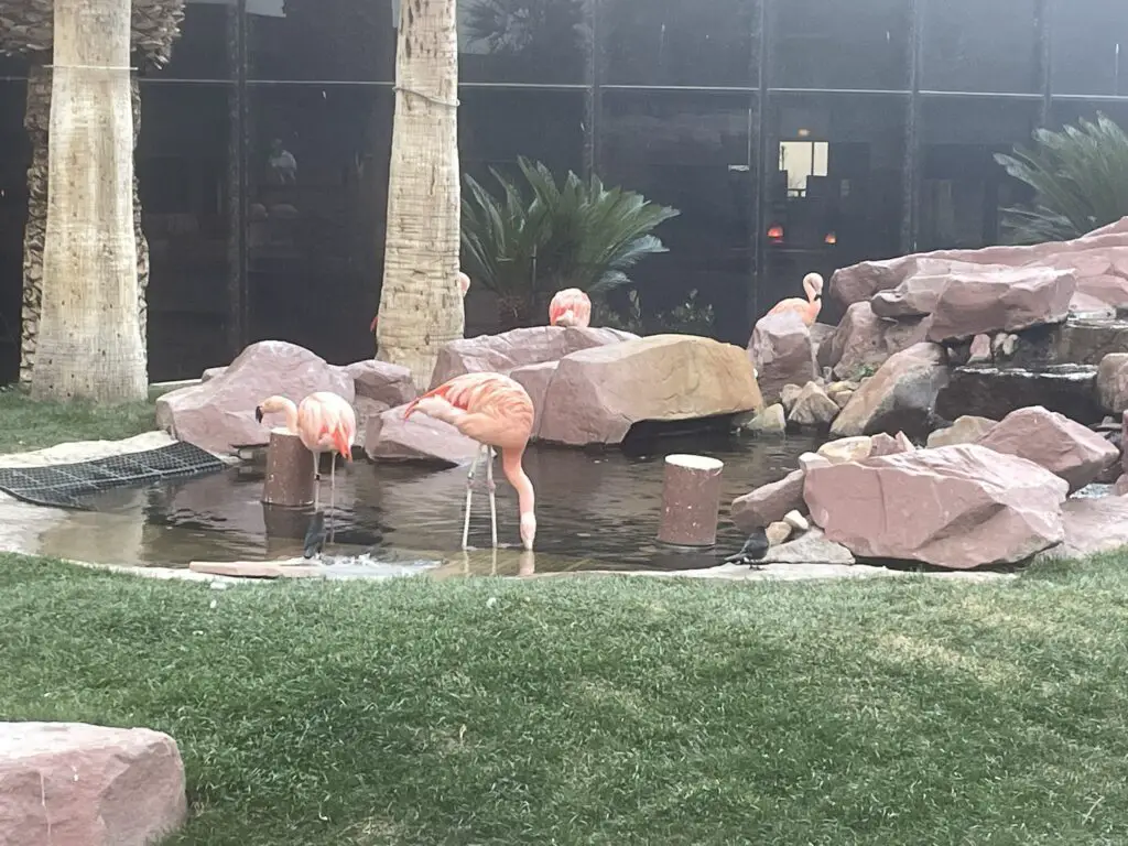
Flamingo Hotel
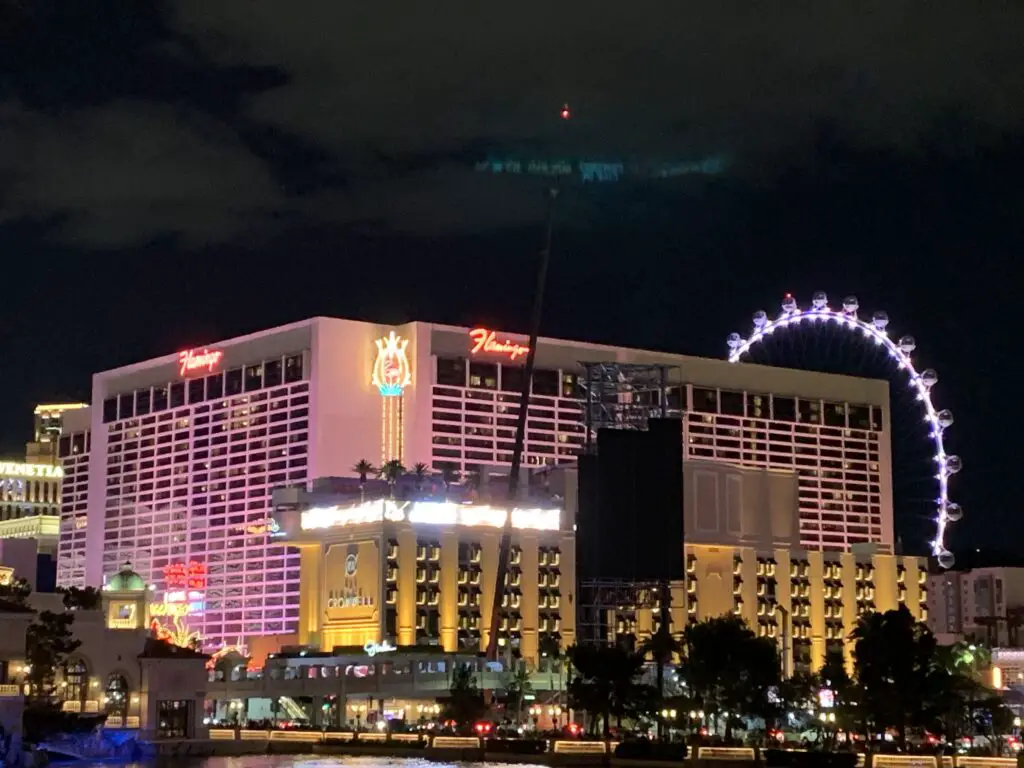
We actually stayed at the Flamingo. First, the bad news…
Customer Service was difficult to navigate…
The Ceasar’s online/phone customer service that I tried to use before we arrived was TERRIBLE! The woman on the phone could barely give me any helpful information regarding parking. I’d ask her things like where to park and she’d say, “talk to the front desk”. Then I asked her for that number or if she could transfer me and she said “Well, I really don’t know that.” Then she’d follow up with, “Is there anything else I can help you with today?” My literal response was, “Well you haven’t really helped me at all so far!” 😝
To be clear, I ALWAYS strive to treat customer service workers, housekeeping staff, waiters, etc. with the UTMOST respect and politeness. They work hard for little money and they put up with A LOT of crap! (I’ve done LOTS of customer service work.) But it was obvious this woman was just reading from a canned script and didn’t really care if I got the info I needed or not, she just wanted me off the phone as soon as possible. THAT does NOT sit well with me! 😤
Then I did some searching on Ceasar’s website and found a little more info. They even had a phone number for Ceasar’s Parking Customer Service! Of course, when you called that number, it rang a few times and then informed you it was a Ceasar’s nonworking number! 😝
Check-in was difficult to complete
Check-in also SUCKED! When we arrived on-site it took almost an hour to get through the line. We couldn’t get the online check-in to work using our phones. Then they had mostly kiosks available with very few actual humans working. Hardly anyone in line could get the kiosks to work so they had to resort to the humans anyway.
Though I will say, the Customer Service lady we dealt with was WONDERFUL. She was incredibly polite, helpful, and fast. I felt really bad for her. There were A LOT of irritated people and she was doing a great job of helping them. So KUDOS to her. And Ceasar’s, you should be paying her more! Whatever she is making, it isn’t enough!
The Flamingo was a good, lower-cost hotel option in Vegas!
Now for the good news! Once we finally survived check-in, the remainder of our stay was wonderful! The hotel itself was clean, it provided perfect access to the rest of The Strip, our room was nice and it was relatively quiet (other than our neighbors who seemed to enjoy coming home arguing at 3 in the morning for several nights straight! 😝We considered yelling outside their door when we left at 8 am but thought better of it. 😇 ).
I was actually impressed with the room. The Flamingo is kind of a “budget hotel” on The Strip. I was worried it would feel more like a Super 8 or Motel 6. This felt more like a Hampton Inn. Also, “budget” is relative. We still spent more than $500 for our stay there (three nights, Sunday through Wednesday) but that’s comparable to one night at many of the other hotels.
We used this website to easily check hotel availability in Vegas!
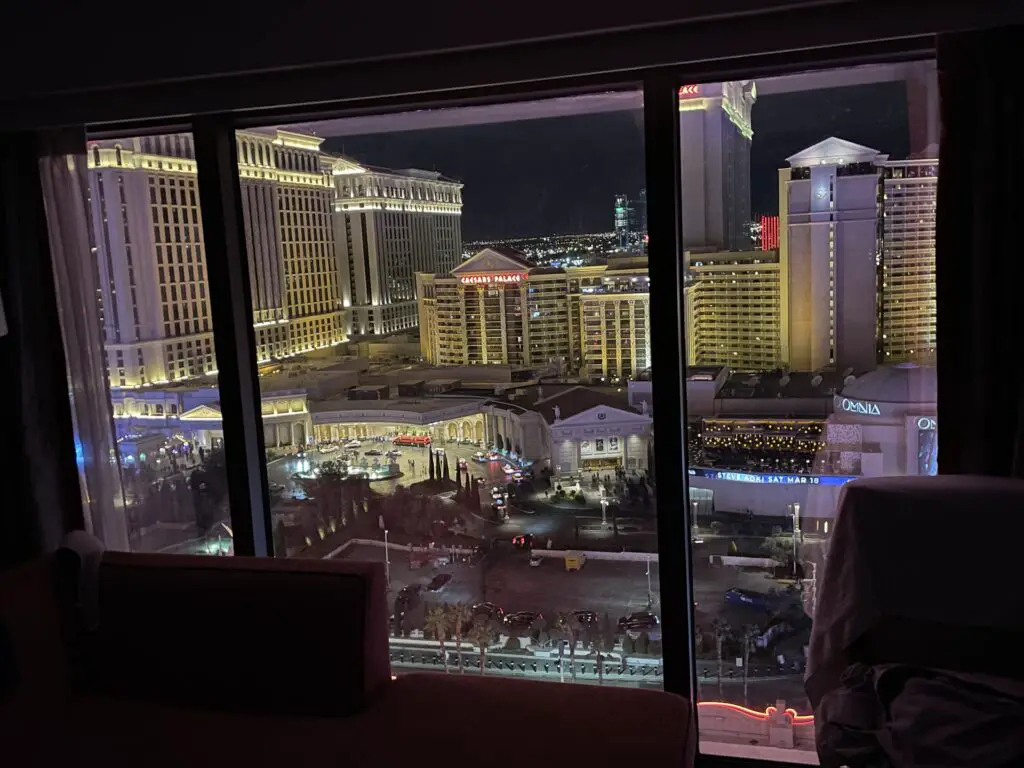
The accommodations at the other hotels are swankier but concerning location, Ceasar’s and Bellagio were literally right across the street from our room (also we paid extra for a room with a LARGE window and a Strip View.)
We spent more than an hour one night just staring out the window in awe, watching the well-oiled machine that is the Ceasar’s Palace limo system parade before us (we were getting Vegas-ed out by that point. 😂–it was impressive though!)
The Flamingo offers EASY access to EVERYTHING not to mention GREAT views. You could literally park your car once and not have to move it again till you leave. You can walk most places but for things that are further away the Vegas Monorail stops right by the hotel.
My final verdict is that the Flamingo is a good place to stay, especially for first-timers or “normal” people who are trying to stick to a budget. Aside from check-in, I would even consider staying there again.
Tips for Visiting Las Vegas
Author’s Note: This was our first time in Vegas so these tips are intended for first-time visitors. Some of this info may seem rather “duh!” to people who frequent Vegas.
I was a little anxious about this trip. I’ve always wanted to visit Vegas but the Trekkers don’t usually do big cities so I worried we might be biting off more than we could chew. I was actually much more impressed by Vegas than I thought I would be. I could never live there (it’s still a big city). I would also hate the heat and I’d REALLY miss the color green.
On that front, I was very impressed that even in the very nice neighborhoods people didn’t really bother trying to keep grass growing. Obviously, it’s the desert, so they seemed to use desert-friendly plants, rock gardens, patios, turf, etc. I was very impressed that they weren’t wasting such a precious, natural resource (water) on such a futile fight (keeping grass alive where it usually doesn’t grow.)–So good on you Vegas!
–Everyone was VERY friendly. I think I was a little intimidated to go to Vegas with the whole idea of rich, High Rollers walking around. I know they’re around and I’m sure there are places you can go that cater to those types of people (note: the Trekkers ARE NOT those types of people! 🤣) but everyone we encountered from fellow tourists to Locals, hotel staff, and servers were all very friendly! It felt like a city in the Midwest–which, shouldn’t really be surprising as Westerners tend to be pretty friendly too.
–It was pretty casual. We didn’t feel out of place at all in our hiking pants when we arrived. 😊 I expected to see lots of dressed-up people so I was pleasantly surprised to see so many people dressed comfortably like we were. I was a little surprised to see the “Sturgis Wear”, as I called them. 😂
So the standing rule in the Black Hills, during the Sturgis Motorcycle Rally, is you have to wear at least “pasties or paint”–mind you, this is in reference to what women wear to cover up their “upper halves.” 🤭
–Depending on what you want to do (and how much you can afford 😇) 2-3 days is a good amount of time to plan to spend in Vegas.
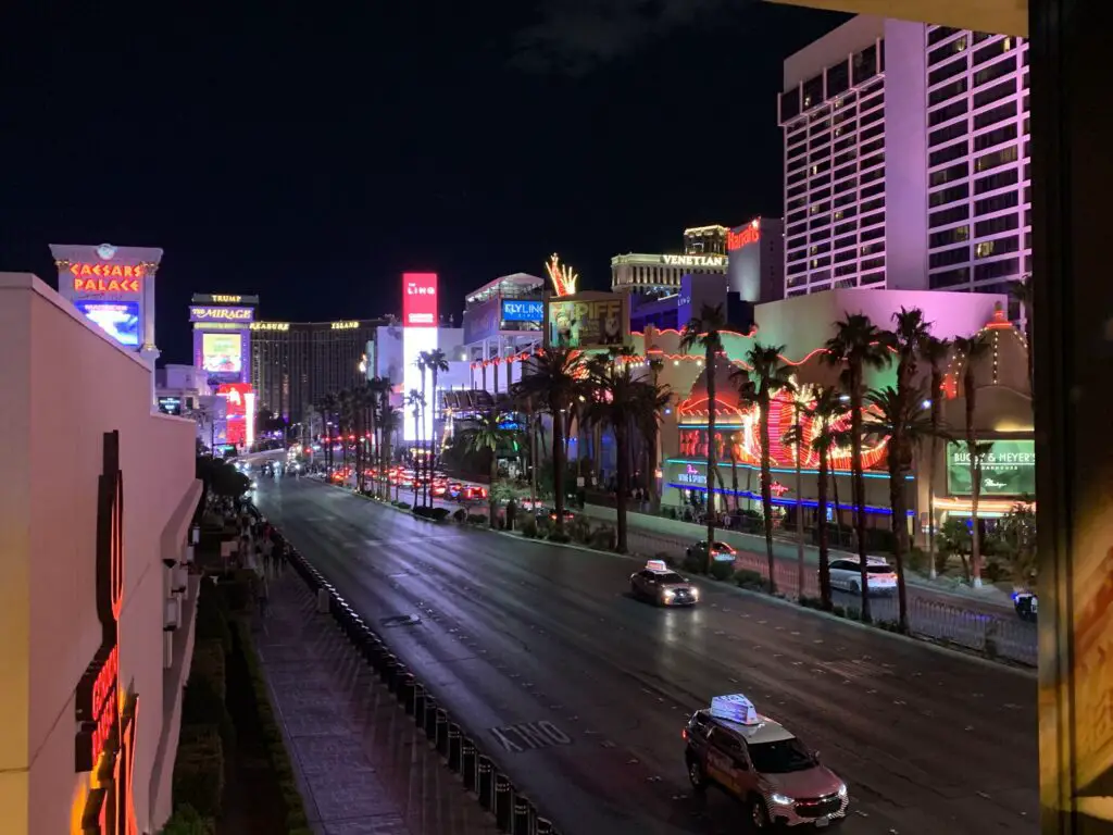
–I would definitely advise you to stay on The Strip if you can. It’s beautiful, you have the iconic, “Strip views” and it gives you easy access to everything available there (food, shows, casinos, people watching.)
–Bring comfy shoes! We walked SO MUCH! We were EXHAUSTED every night! It felt like it took 20 minutes just to walk to the car, in the parking garage, that was attached to our hotel! We both lost weight on this trip and it DEFINITELY wasn’t from eating healthy. 😂
–Whoever invented the raised walkways was a GENIUS! People/cars hardly intersect except for the driveways leading into the casinos.
A few negatives to be aware of:
It stunk like Pot…EVERYWHERE! 🤥 (All of my 40 years may be showing with this comment but I was a DARE child of the 90s so, deal. 😉) It was kinda weird because we never saw anyone smoking. I lean Libertarian so I’m not looking to impede people doing what they want but holy smokes (no pun intended!) does that stuff STINK! After smelling that for three days, when we actually smelled skunk later in the trip it almost smelled good! 😝–that’s saying something! I will say though, it seems to bother my asthma much less than cigarette smoke, interestingly enough.
–It was PRICEY! I mean, I get that we were on “The Strip” but the thought used to be you could get things like food and hotels cheap in Vegas because they wanted you to spend your money on gambling…NOT SO ANYMORE! $75 for a couple of burgers, some fries, and two milkshakes?! We spent $60+ one morning for Dunkin’ Donuts! I mean COME ON! (To be fair, you go off The Strip just a couple of blocks and prices return to normal.)
“Affordable” Vegas Restaurants
We definitely didn’t need to gamble to lose all our money on The Strip! That being said, below are a few food suggestions that shouldn’t break the bank:
Blueberry Hill: this restaurant has multiple locations around town (all off The Strip.). It was your basic, DELICIOUS, home-cooked meal. I especially recommend them for breakfast. (If it helps, the parking lot was full of local cars–on a Monday morning–which is ALWAYS a good sign!)
Bobby V’s Ristorante: This place was VERY good. I had some of the best cheese ravioli I’ve ever had!
Apparently, this is owned by Chef Buddy Valastro from Cake Boss–and that’s literally the extent of my knowledge on that subject. 😂
Bobby V’s is right on The Strip and not “cheap” but definitely a more “budget-friendly”, option, at least by Vegas standards. (It also offered some great views out the windows!)
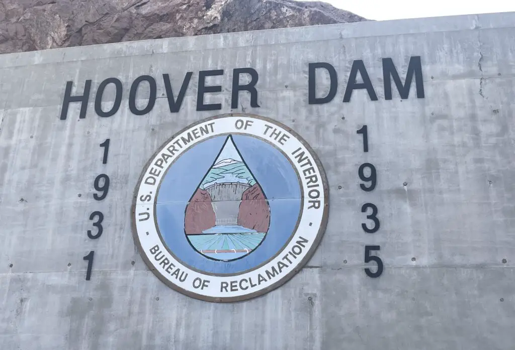
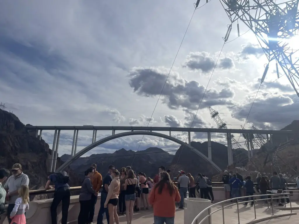
Hoover Dam!
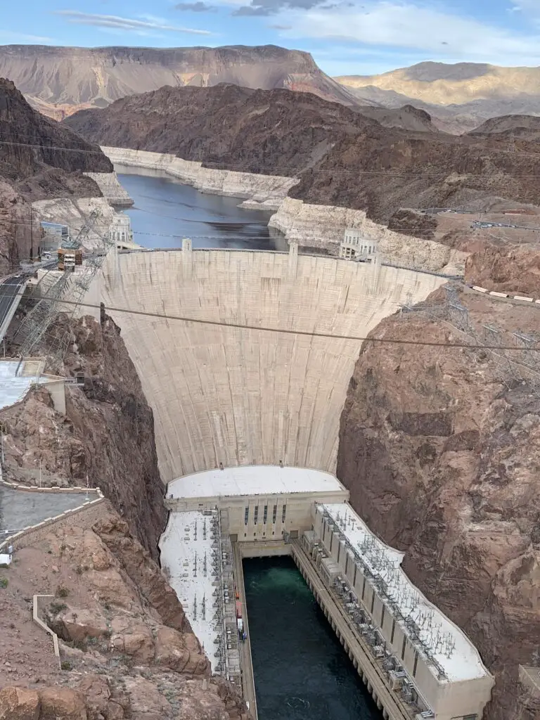
The Hoover Dam is a fun, interesting side trip when you’re visiting Vegas!
The Hoover Dam was built in the 1930s to help control the unpredictable floods of the Colorado River. The dam is used for hydroelectric power. There are a variety of tours of the dam offered at various times and days (unfortunately none were being offered while we were there as the elevators were being worked on.)
You can check out the dam’s website for info on tour times, days, and prices (which range from $15 – $30. Typical cost to view the Visitor Center and see the short documentary on the building of the dam is $10).
The dam was cool! We did feel a bit like cattle being herded through a pen as they guided us into the movie theater for the short info movie; then guided us upstairs to the Visitor Muesum portion and viewing decks. 😂 The sites and info were pretty cool though!
Where is Hoover Dam?
Hoover Dam is located off of US 93, right on the Nevada/Arizona border, about 40 miles east of Las Vegas. It spans the Colorado River in this area.
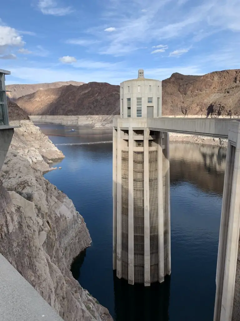
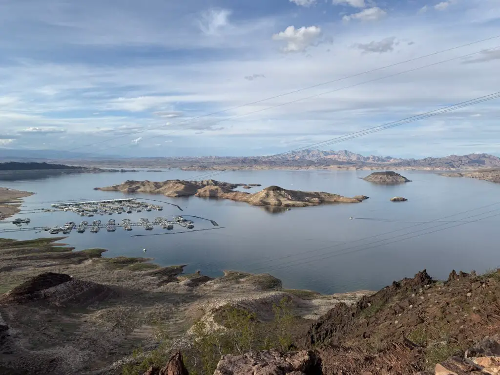
Lake Meade
As the Hoover Dam slows the mighty Colorado River, it forms Lake Meade, the largest reservoir in the US. The lake has been incredibly low for the last several years due to drought (like 20 to 30 feet low).
Watching Fighter Jets at Nellis Air Force Base
Nellis Air Force Base sits just outside of town and Mr. Trekker was very excited to find out some military exercises were being held while we were in Vegas (yep, I married a nerd! 😉) So we spent a sunny, 70-degree afternoon sunning ourselves next to the Vegas Speedway (which sits just across the road from the Nellis runway).
For some insider info on when you can catch planes flying at Nellis, click here!
WORD OF WARNING! You will be perfectly fine if you sit and watch planes on the roadside next to the Speedway. DO NOT sit across the road next to the Base fence! Technically both are portions of a public road, but the Base Police are known to get cranky if you sit on their side. (Just a tip to help your trip stay fun and uneventful. 😇)
So, take a trip to check out the Vegas Strip, the Hoover Dam, and maybe watch some fighter jets roar through the skies above you!
Have you been to Vegas or the Hoover Dam? Tell me what tips you would have for first-time visitors in the comments!
Did you enjoy this post? Pin it!
Like what you read here today? Please feel free to leave a comment, like or share this post! Add your email at the bottom of the page, or the sidebar to the right, to be notified when a new post is published. By signing up for the email list, you will also receive a free copy of the Tranquil Trekker’s Top 10 Tips of Trekking Do’s and Don’ts! You can also follow the blog on social media by clicking the links below!
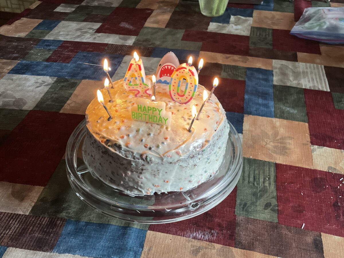
The Trekkers turned 40 recently! In this post, I ruminate on how it feels to turn over a new decade and dreams I have for Part 2 of our lives.
Both of the Trekkers turned 40 years young recently! 😮 🤭 It’s ok though, we’re excited for the next decade!
I always assumed that by now I’d have everything figured out. It’s silly, but when you watch tv, and there’s a character who’s in their 40s, they usually seem so mature. They seem like “real” adults. They have a “real” job, they’re married, they have kids, they own a house…I see them and I think, “I hope I’m like that when I grow up”…
…Wait! I’m married, we own a house, and we both have real jobs. We don’t have kids but Puppers comes in a close second, right? Wow! I am that person! But why don’t I feel like it?
Metaphorically old
I started feeling “old” when my doctors began responding with, “that’s normal with age” when I would point out oddities I had noticed. Don’t get me wrong, that is a far better response than the alternative could be, but still…
…you also start to notice your age when things start failing on your body and the only true cure for them requires surgery and a 6 – 8 week recovery period to fix! (Bunions on your feet, carpal tunnel in your hands…my knees have started to lock up from time to time…I knew all that hiking would catch up to me one day! )
Delayed adulthood?
Part of the reason we still feel like “kids” could be partially due to the fact that Mr. Trekker and I didn’t begin “adulting” until we were almost 30. When one of you spends seven years in grad school, other life events tend to get put on hold.
So, while most of our friends and family members were getting married, buying houses, and having kids at 22 (or earlier), we didn’t get to really start the process till almost 30. So, we’re basically eight years behind everybody else. Does that mean in “adult years” we’re actually only 32? Could that explain why I don’t feel “that old”…or maybe I’m just immature?
I feel as though there were themes to our recent, lived decades:
Our 20s were about finding ourselves in this adult world and figuring out what we wanted to be when we grow up (we’re still working on that one! 😝)…
Our 30s were about paying off the debt we accrued in our 20s, 😂 and building an adult life (“real” jobs, buying a house, starting to accrue a nest egg, etc.)
Hoping for a great decade to come
And now we’re looking forward to our 40s! I’m optimistic that 40 will be the beginning of a great, new decade. Plus, I get to be an even-numbered age again. I like even numbers, so hopefully, that’s a good omen.
I am prayerfully hopeful that our 40s can be about starting to move toward what we really want in life. For me, I’d LOVE to be able to “retire” by 50. I pray for good planning and a little luck to accomplish that.
To be clear, I use the word “retire” VERY loosely. I see it more as “removing oneself from the Monday – Friday, 9 – 5 grind” rather than “stopping work for the rest of what will hopefully be a very long life.” 😇
Our Dreams for the Future
Now that I’m 40, I feel like my priorities in life are changing. Instead of being motivated to pursue that great new job or promotion, I instead find myself wanting to pursue “living our best life”. This looks different for every person but for us, it looks like traveling to amazing places and having awesome adventures.
We’ve already done a decent job of traveling all over the country. We excel at taking random weekend (or multi-week) trips from:
We want to do even more adventures like this though. We’ve got some pretty epic trips we want to take in the next 10, 20, or even 30 years. As John Muir said, “The world is big and I want to have a good look at it before it gets dark.”
What else are we hoping to see and do in our 40s? Well…
we have goals to FINALLY make our epic, Alaska vacation a reality…
…and if we see Alaska we’ll only have one more state to visit to see all 50 US states so…I guess Hawaii it is then!
we want to drive ALL of Route 66…
we want to check out and camp on the North Rim of the Grand Canyon…
we’ve had Nova Scotia/Newfoundland on our list for some time…
there are still a ton of ghost towns we want to visit in Colorado, Utah, Montana…
…and these are just the big trips within and near the US, these don’t include all the smaller trips we’d like to take…we’ve got a bunch of international locales we’re excited about too, but those may have to wait till our 50s. 😉
I also have some personal goals I want to achieve:
Now that the world is entering the “Post-COVID era” I want to FINALLY get to a blogging conference!
I have one book I’ve been working on writing for quite some time and another I have ideas about…
I want to write guidebooks to help people easily see/experience this amazing world we’ve been blessed to live in…
I want to continue pursuing my freelance/consulting career…
Final Takeaways from my 30s…
I haven’t achieved all my dreams from my 30’s…
I had the opportunity to attempt to start my own business/work for myself. I was doing pretty well too until a little thing called COVID came along and kind of killed that dream 😡 –at least temporarily–though I’m still trying to press ahead with this in some form or another.
Several years ago I did leave a job that failed to make me happy, and while I’m back working a “somewhat” normal, 9-5 it tends to be one of the weirdest versions of that type of job that exists, I think 😂 (and I mean that in a good way!)
Easily 60% of my job is paperwork that I can do from home pretty much WHENEVER I feel like it. On top of that, even the meetings I do have I usually schedule myself. This means I can more or less work whenever I feel like it (as long as the necessary stuff gets done). And thanks to laptops and mobile internet I can often work from anyWHERE I want, as well (with a little time to plan.) My job is also based on Billable Hours which is a whole other, weird thing. It makes for an incredibly flexible job that plays well into my plans for lots of travel in our future. 😁
What does “getting older” mean for me?
I feel like I pretty much stopped “growing older” at around 30–and I’ve had a number of people tell me I don’t look “that old”–enough so that I don’t think they’re “just” being nice! 😇
Based on genetics, I have two possible physical paths to follow as I age. My dad’s side of the family tends to avoid getting grey hair as they get older. My mom’s side, on the other hand, has an infamous “Curse” where everyone has a head full of white (albeit BEAUTIFUL) hair by the time they’re 50! (So far I seem to be taking my dad’s family’s fork in the road. Only the next 10 years will tell if that continues or not! 😯)
I don’t feel old…Ok, maybe I do “a little”: when I stay up too late and feel like I have a hangover the next day…or when I tweak my back with a violent sneeze (thanks COVID! 😝)…or when I feel a random *crack!* in my neck when raking leaves! I’m more mature now (I think? 🤔) and I definitely feel much more secure in who I am and what I want out of this life (and the world).
My 30s were pretty good to me and I feel like I’ve really come into my own in the last few years. So what does it mean to notch another year on the proverbial stick of life?
Another birthday means being hopeful about the future!
The good news is both Mr. Trekker and I have longevity in our families. We are blessed to have some pretty good genes in our family trees, so I have every intention of us living to be 85 or so, at least. Almost all of our grandparents lived into their 80s (and many of our family members have lived at least that long, sometimes FAR longer).
While nothing is guaranteed, of course (my anxiety forces me to put that qualifier in, we don’t want to jinx anything now do we? 🙄) it’s a fair guess (hope?) that we’re not even halfway through our lifespans yet…which is a WONDERFUL thing. Hopefully *fingers crossed*, we have MANY years left to adventure together!
I have grand plans for the future. I want to travel, I want to write, I want to see and learn new things, I want to leave my impact on the world. I don’t have time to feel old!
Getting older means energy!
I’ve got just as much energy as ever. I still don’t need coffee to wake me up in the morning (Mr. Trekker will tell you the LAST thing I need in the morning is MORE energy 😇). Everything just seems to move so fast these days, I feel like life is racing by! The hours, the days, the weeks, the months, the seasons, the years! I want to embrace life and enjoy it as much as I can, and that can be hard to do when it feels like it’s just whipping by you! (This feels especially true after the craziness of the last few years.)
I pray our 40s are blessed
My goals for my 40s are similar to my goals from past years. I want to continue striving to appreciate the little positives that each day brings. I want to continue to embrace life’s small moments, so maybe each year won’t race by so quickly anymore.
I thank God for these first four decades, and I pray He chooses to bless both Mr. Trekker and me with MANY more! I always try to celebrate birthdays and don’t complain too much about getting another year older. After all folks, it’s better than the alternative, right?!
To help celebrate getting older, check out this great song by one of my favorite Celtic bands. One More Day Above the Roses, by Gaelic Storm!
What do you hope to accomplish in the next decade of your life? Let me know in the comments!
Did you enjoy this post? Pin it!
Like what you read here today? Please feel free to leave a comment, like or share this post! Add your email at the bottom of the page, or the sidebar to the right, to be notified when a new post is published. By signing up for the email list, you will also receive a free copy of the Tranquil Trekker’s Top 10 Tips of Trekking Do’s and Don’ts!You can also follow the blog on social media by clicking the links below!FacebookTwitterInstagram
In this post, I highlight our visit to Garden of the Gods, Pikes Peak and other locations around Colorado Springs!
The Trekkers’ enjoyed another lovely, anniversary trip to Colorado! This time we visited the Front Range, the one part of the state we haven’t spent much time in. We also knocked several long-held items off our bucket list: the National Museum of World War II Aviation, Garden of the Gods, and Pikes Peak!
I find I have a love-hate relationship with Colorado. I LOVE visiting there! If I had to pick one state in the entire nation to vacation the rest of my life it would be Colorado, hand’s down. It’s just SO beautiful and there are so many things to do!
That being said though, to actually live in Colorado, you have to either choose a crowded big city or live isolated, in the middle of nowhere, with weather that can be incredibly harsh for much of the year. *sigh*
We’ve spent extensive time in the northern, western, southwestern, and southeastern portions of this awesome state. The only place we hadn’t really visited was the Front Range. So, as Mr. Trekker had a work meeting there on our anniversary weekend we thought we’d make use of the opportunity! (I’m very blessed that, as long as I have internet access, my flexible job allows me to work from hotel rooms in random states. 😉)
On the drive down to Colorado Springs we opted for the “Nebraska Route” from the Black Hills. This is a great drive to avoid traffic but it includes a unique trip through the nuclear missile fields of far southwest Nebraska and far northeast Colorado. The dichotomy between these weapons of death and destruction that sit just off the road and the relatively benign, green energy, wind turbines that watch over them from the nearby hills is enough to leave a chill down your spine. 😮
The Colorado Front Range
For those who don’t know, the Front Range is essentially a conglomeration of cities and towns that run for almost 200 miles, north-to-south, along I-25 and the “front range”–hence the name–or eastern border, of the Colorado Rockies. This region basically runs from Fort Collins to Pueblo and includes the other highly populated areas of Boulder, Colorado Springs, and, of course, Denver.
I get why people like to live on the Front Range. It’s got many cultural opportunities, easy access to shopping (basically anything you could want), and easy access to incredible sites and all the outdoor activities you can think of at any time of the year.
Now for the bad news…THERE ARE SO MANY DAMN PEOPLE!!! 😝 This region is one of the fastest-growing areas of the country (not to mention one of the most expensive places to live) and it keeps expanding! This equates to it being incredibly busy and hectic. 🤯 Sorry kids, there is nothing tranquil about the Front Range. 😂 The Trekkers have spent too much time living in small-town America to handle all that craziness. Plus, you’re talking to the girl who grew up in rural Indiana and liked it! FAR too many curses emit from my lips when trying to navigate Front Range traffic! 😂
So, Colorado, while I love you and will forever enjoy vacationing there, I don’t EVER see myself living there! 😇
Pikes Peak
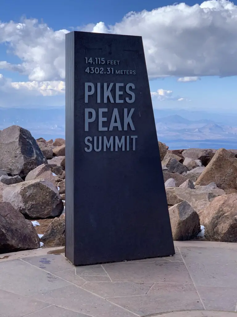
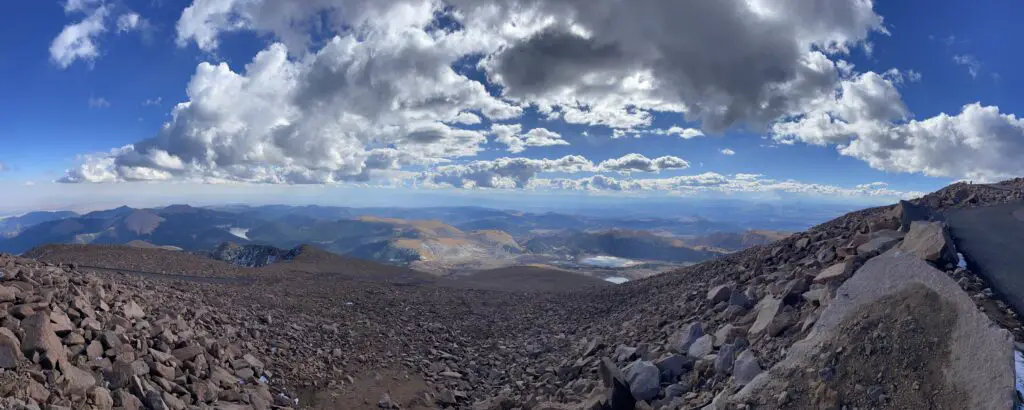
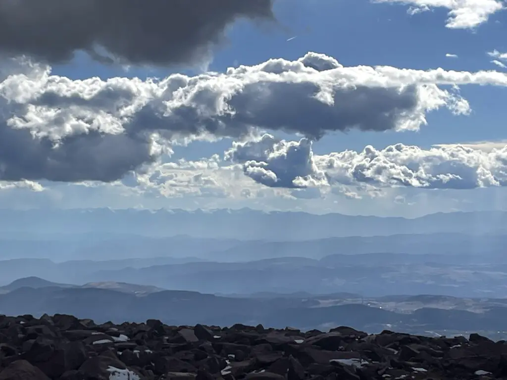
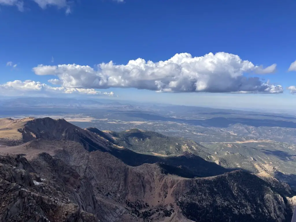
The summit of Pikes Peak sits at over 14,000 feet of elevation. This is VERY high! The air is much thinner up here and the oxygen level is much lower. Do not be surprised if you feel short of breath, dizzy, and lightheaded with even the most minimal exertion. Also, if it is summertime know that you can get sunburned FAST at this altitude.
Altitude sickness can occur at this height (though it is rare if you are only visiting for a short time and is a larger concern if you are heavily exerting yourself.) Symptoms to watch for include nausea, dizziness, and shortness of breath. In most cases, these will subside once you return to a lower elevation.
How do I visit Pikes Peak?
There are multiple ways to visit Pikes Peak! You can drive your car, ride a shuttle bus, hike up or take a train! Details on each option are below:
Drive the Pikes Peak Toll Road
You will find the entrance to the Pikes Peak Toll Road off of US 24, about 10 miles west of Colorado Springs. There is a fee to reach Pikes Peak using this route. Please note: this mountain is VERY popular. So much so that during the summer season (Memorial Day through the end of September) you must have a reservation to drive all the way to the summit. (You can purchase tickets online here.) There are also guided tours during the summer months that allow you to let someone else drive.
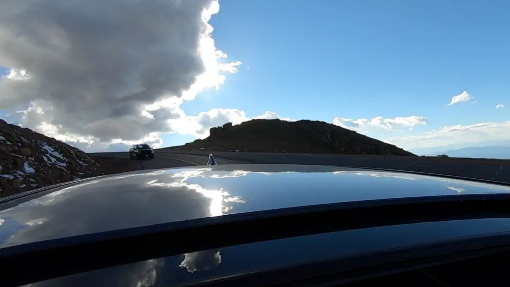
Click here for a video of our drive UP Pikes Peak and here for a video of our drive down the mountain (complete with police escort! 😮
Ride Bikes up Pikes Peak Highway
You can also ride a bike to the top of the mountain via the Pikes Peak Highway. Fees and reservations still apply.
This wouldn’t be my preferred method as you’re sharing this winding, narrow road with about a million of your closest friends (mostly tourists who are trying to navigate large machines that could easily kill you while they’re looking around at the amazing views)…but you do you. 😉
Hike Pikes Peak
If you’re the ambitious type, you can hike the Barr Trail up Pikes Peak. This would be an incredibly scenic way to see the mountain although I’ve heard the hike is not for the faint of heart. We didn’t do it but I know some people who have, successfully. For a first-hand account of the hike up Pikes Peak please see the blog of a friend of mine!
This hike is no joke! The trail is 13.5 miles long (one-way) and gains more than 7000 feet in elevation! It also reaches heights of over 14,000 feet and much of it is incredibly exposed both to sun and thunderstorms that can easily pop up.
Many people like to hike up the mountain and then take the Pikes Peak Cog Railway on the return trip (see below)!
Pikes Peak Cog Railway
One of the more popular ways to reach the summit is via the cog railway. This way someone else gets to “drive” (while you enjoy the views!) and you don’t have to deal with the crowded roadway on the way up! Click here for information on getting tickets for the cog railway!
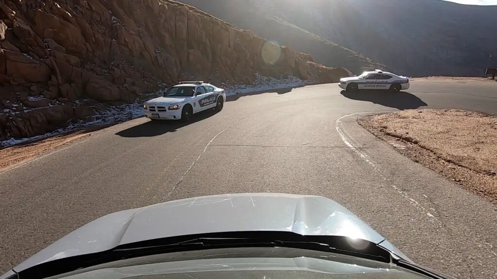
Police escort off Pikes Peak (not a joke!)
We had quite the adventure as we left the summit of Pikes Peak. The story starts when we initially arrived at the gated entrance to the attraction around 2 in the afternoon. (That gave us a good four hours to enjoy the views and get down before dark.) When we paid our entrance fee the “gatekeeper” told us THE MOST IMPORTANT THING to know is to keep the vehicle in low gear on the return trip to save the car’s breaks. Note: he stressed the importance of this tip and this is the ONLY THING he told us.
We reached the summit and went to check out the summit building when I realized this was the place that had the awesome donuts I had heard so much about! (They ran out WHILE we were standing in line! 😝) We also saw some signs that said the summit building closes at 4:00 pm.
That’s fine, we’re used to buildings in our local national parks closing around that time, it just means you need to find an outhouse if you need a bathroom after that time…or so we thought. Note again, this is the ONLY thing the signs or the brochure said–stay with me, this is important for later in the story…
A short while after leaving the summit we stopped at a pull-off where a number of people had stopped and were hiking around. We wandered down the trail and around the corner of some rocks for about 20 minutes. We were upwards of 14,000 feet in altitude so we weren’t moving very fast 😇 but it was a nice day and we were enjoying our walk.
As we were returning to the car we noted the pull-off was now completely devoid of other vehicles save the ranger truck with flashing lights sitting next to our car (and another police truck sitting on the road just before the pull-off.) We talked to a VERY friendly, older-gentlemen ranger who said they close the summit at 4 in hopes everyone will be off the mountain by 5-ish–ok, we were heading down anyway. Note: Again, this is ALL he said…
So we left the pull-off and got back onto the road with a friendly wave to the police truck who then…basically escorted us, with flashing lights, off the mountain. We thought, “wow, they aren’t kidding about closing the summit!” (That’s way more intense than we’re used to but whatever, we were on our way down anyway.)
About halfway down the mountain, we came to another pull-off where several vehicles and people were still milling about. As we slowed down for the curve we were finally able to make out the muffled noise coming from the police truck behind us…”I told you all once before, if you’re not off the mountain by 5 pm it’s a $1000 fine!” (For the record, he was talking to the people still parked, not us.)
I should also note, it was currently about 4:55 and there was NO WAY we were going to make it off the mountain in the next five minutes! Fortunately, he was busy with those people and ignored us and we merrily continued our way down the mountain with no further problems.
With the rise in van life and “stealth camping,” not to mention the winding road, steep dropoffs, and large wildlife (and close proximity to a large, metro area) I can understand their desire to keep people off the mountain in the dark. However a few suggestions come to mind…
–Maybe…when a park gate employee tells you “THE MOST IMPORTANT THING TO REMEMBER…” three hours from park closing time, he should actually mention that there is a closing time? (Especially if there is a monetary fine involved?…)
–Maybe…on the brochures for the park (not to mention the signs on actual park buildings) they note this closing time as well?…
…these are just suggestions, of course. 😝
***I should also note we visited the park in mid-October, during the summer I believe it closes at 8…JUST MAKE SURE YOU’RE OFF THE ROAD BY THEN! 😝***
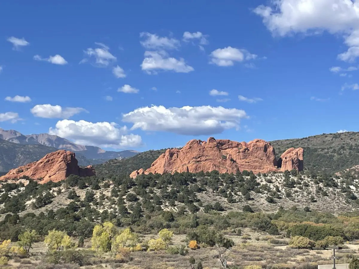
Garden of the Gods
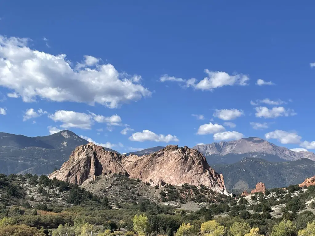
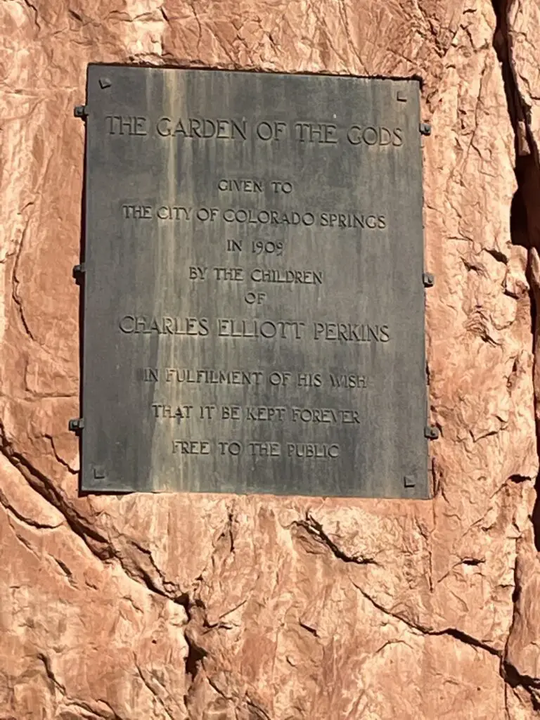
Garden of the Gods has to be one of the more famous “city parks” in the country! The main entrance is off 30th street on the west side of Colorado Springs (though there is another entrance on the south side from US 24.) Also of note, this park is open till around 9 each night, and there were signs ALL OVER clearly stating this…*ahem* 😝
This is a great attraction! It’s found right in town so it’s easy to access for Out-of-Towners or Locals wanting a nice place to exercise or walk the dog. Rock climbing is also available at certain places within the park. Another cool thing about Garden of the Gods…admission is completely FREE!
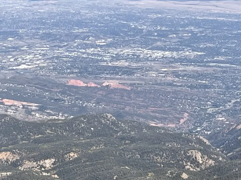
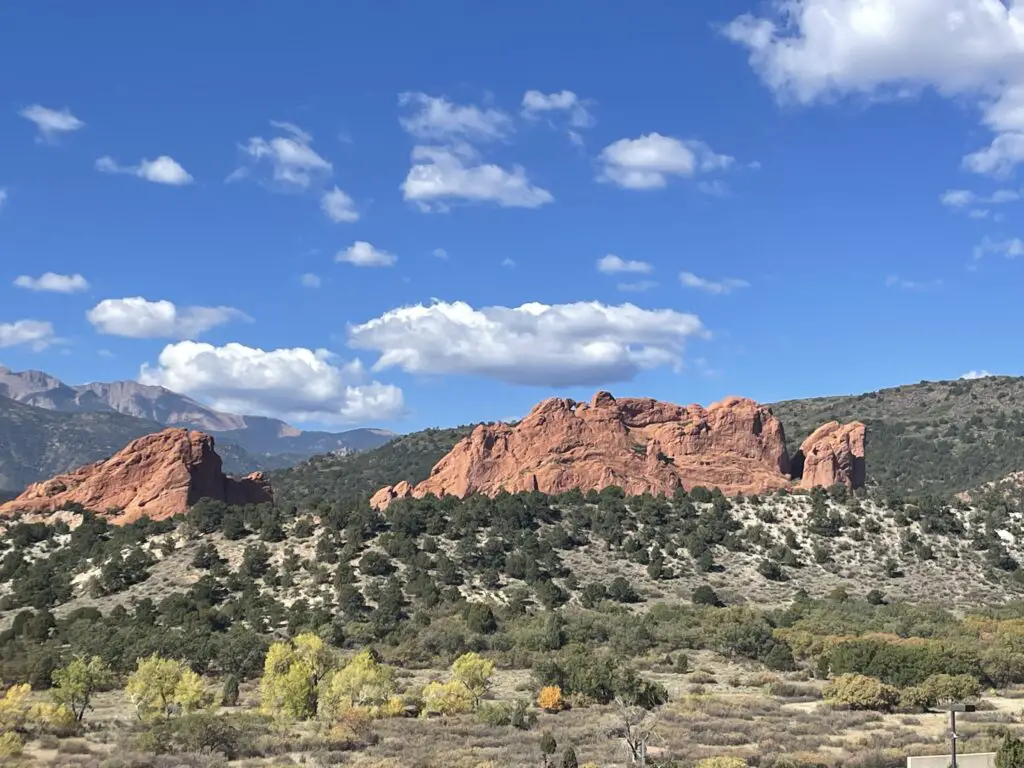
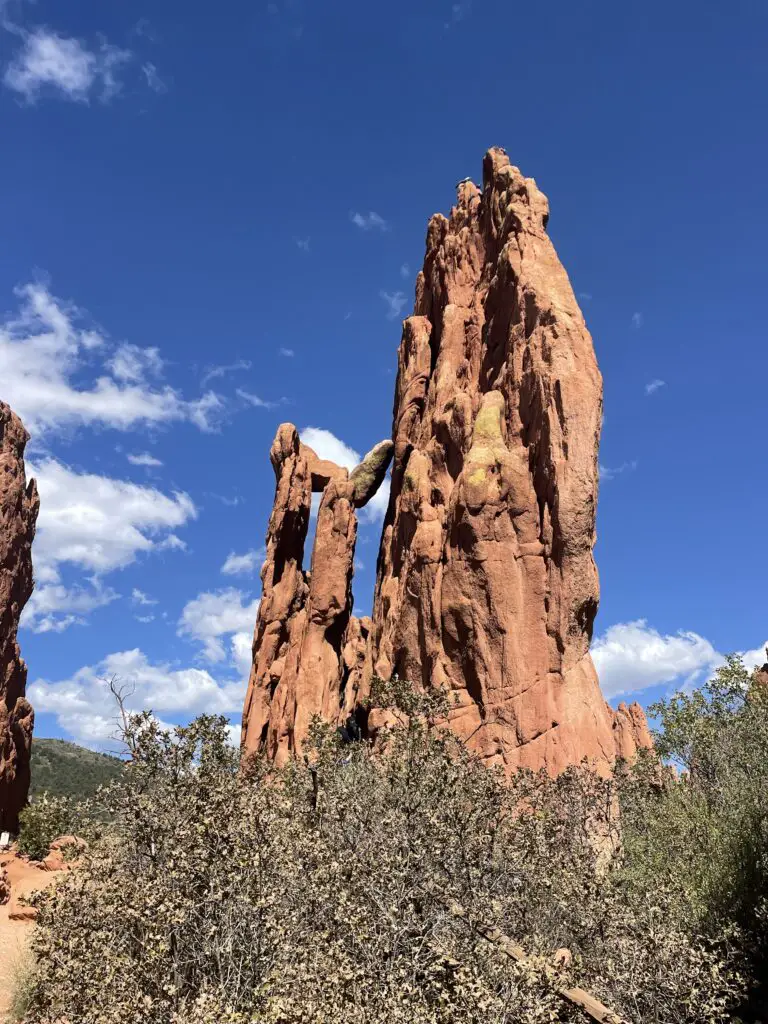
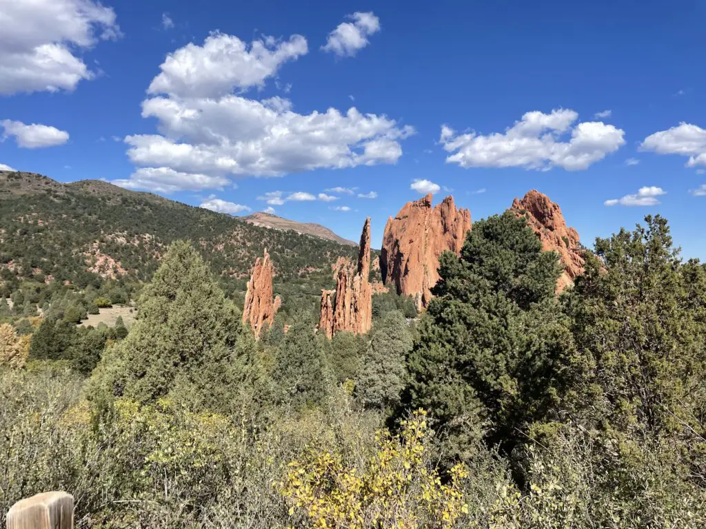
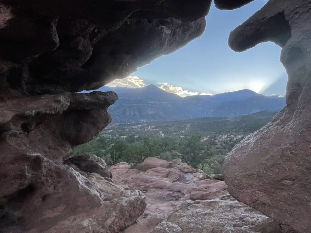
This locale is characterized by a number of red rock formations rising from the dry, green scrubland that is common in this part of Colorado.
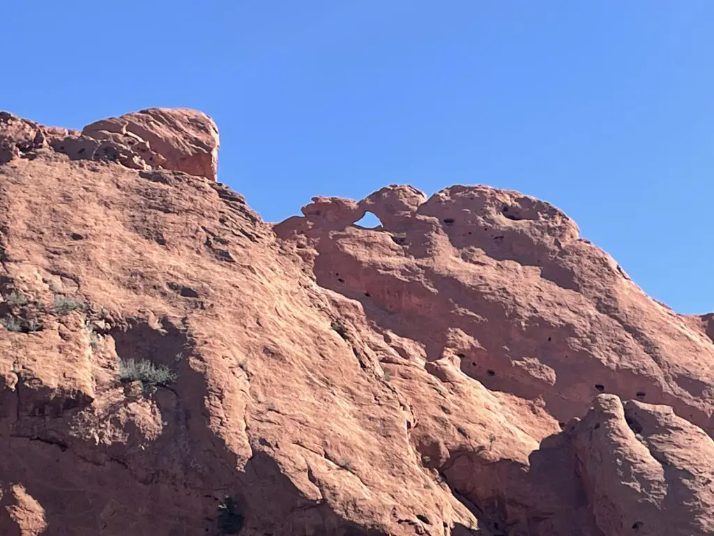
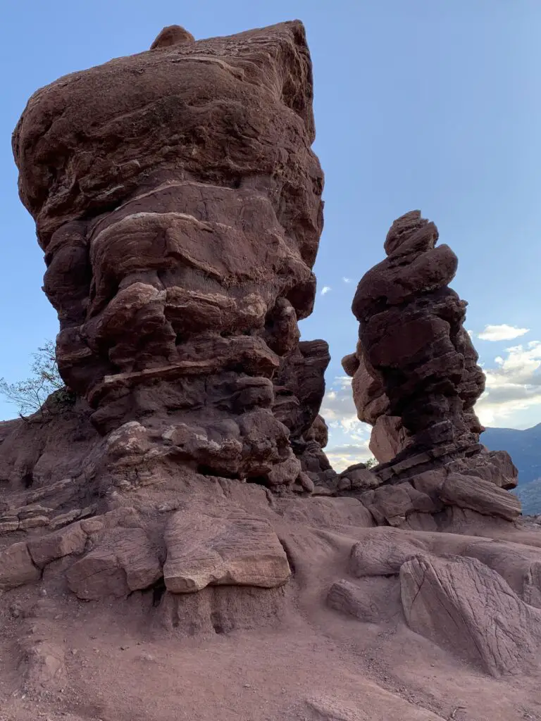
The Twins!
National Museum of World War II Aviation
While in Colorado Springs we also checked out the National Museum of World War II Aviation which is located just north of the Colorado Springs Airport, just off Aviation Way (which you can reach from US 24). This was a nice museum! As Mr. Trekker is a history nerd with a special fondness for WWII airplanes, he especially enjoyed it. 😉We had enjoyed the Pikes Peak Regional Air Show earlier that fall and many of the warbirds from the museum were featured there.
Places to Eat near Colorado Springs
As usual, we found MANY good places to eat on our trip:
Paninos Restaurant–this is a cute, casual, family-owned, Italian restaurant. We enjoyed a lovely anniversary dinner there!
Louies Pizza –a tasty, casual place for pizza in a convenient, downtown location
Sandy’s restaurant –Sandy’s has one of the best breakfasts in Colorado Springs! This place has HUGE portions! (I’m not kidding. However much you think you should order…halve that!) You usually need reservations on weekends but the hostess liked us when she found out we were from South Dakota (a certain blogger may have noticed her Mt. Rushmore shirt and casually mentioned we live near there. 😇) She convinced some friendly locals to let us sit with them at their long table.
This is one thing I LOVE about traveling, road trips, and taking the scenic route. It often means you get the privilege of visiting local places. You never know when an opportunity will arise to get to know a complete stranger in a comfortable environment. I LOVE interacting with Locals like this! You never know what you’ll learn from their experiences!
Josh & Johns –this was a yummy place for a sweet, ice cream treat
Uncle Sam’s Pancake House, Manitou Springs —nothing fancy here but the staff were friendly and attentive and the breakfast was DELICIOUS!
Hoosier Pass, Colorado
After our weekend in Colorado Springs, we needed to get to Boulder as Mr. Trekker had some work meetings there. Normal people would have driven straight up I-25 from “the Springs” to Boulder…but who wants to be normal?!
Instead, the Trekkers opted for the VERY scenic route! We took US 24 west to Hartsel, then took Route 9 across one of our favorite parts of Colorado, South Park (click here for a video of another drive through South Park!) We even got to check out the ghost town of Alma and the skiing area of Breckenridge on this jaunt!
Leave it to the Trekkers to willfully and eagerly turn what could have been a simple, 90-minute drive into an incredibly beautiful, 8-HOUR tour of central Colorado on a GORGEOUS fall day…ALWAYS take the scenic route!
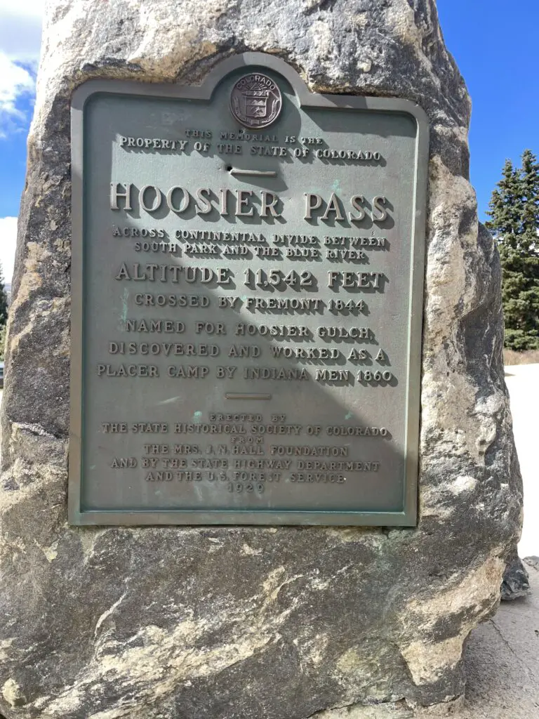
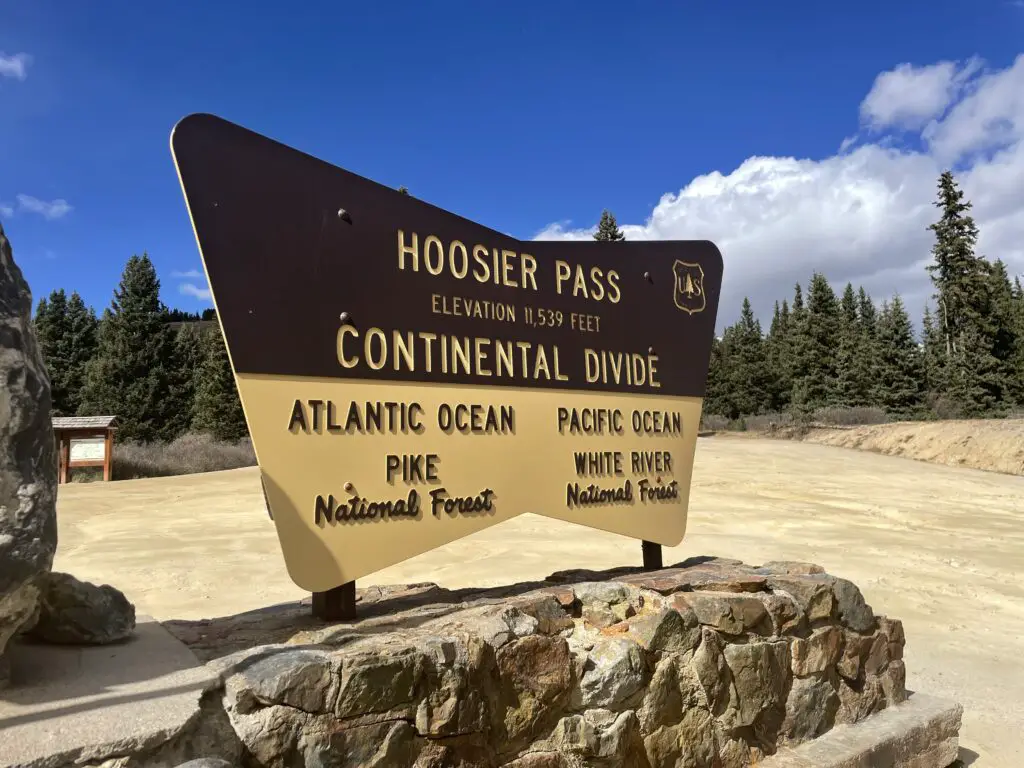
As part of our scenic drive, we randomly stumbled upon a place I’ve had on my list to visit…that’s right, the Hoosier finally found Hoosier Pass! 😁 😁 😁 (Not sure why the two signs differ by three feet in their claim of how high it is? 😮)
This is a great little park situated in north-central Colorado, around 15 miles west of Golden and about 17 miles north of I-70. It’s got a number of trailheads that can be accessed from various areas, but the main entrance/ Visitor Center can be found on Route 46 about five miles east of the t-intersection with Route 119.
Golden Gate Canyon State Park offers around 35 miles of trails in addition to other activities (like camping) and it’s dog friendly! If you want to know how the park gets its name, visit in late September/early October, it was beautiful!
There are places in the park that also offer incredible views of the surrounding Rockies, including some of Rocky Mountain National Park’s most notable peaks (the national park sits only about 60 miles to the north).
Places to Eat in Boulder
We were only in Boulder a few days but we enjoyed a few yummy places to eat there, as well!
Sweet Cow –another yummy place for a sweet, ice cream treat!
Chez Thuy–this is a great, Vietnamese restaurant. I highly recommend their Pad Thai!
So if you’re visiting the Colorado Front Range, be sure to check out Garden of the Gods, Pikes Peak, Golden Gate Canyon State Park, and the National Museum for World War II Aviation! You’ll be glad you did!
Have you visited any of these locales? What did you enjoy most? Tell me about it in the comments.
Did you enjoy this post? Pin it!
Like what you read here today? Please feel free to leave a comment, like or share this post! You can also follow the blog on social media by clicking the links below!
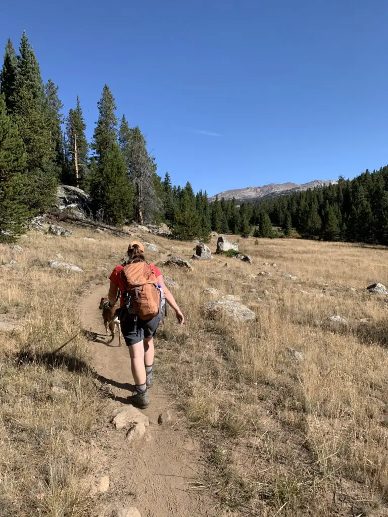
In this post, I review the Misty Moon trail starting at the trailhead at West Ten Sleep Lake and continuing to Lake Helen.
Are you looking for a moderate hiking trail that really lets you enjoy the wilderness of the Bighorn Mountains in Wyoming? Check out the Misty Moon trail from West Ten Sleep Lake to Lake Helen in the Cloud Peak Wilderness!
Where is the Misty Moon trail?
Trail #63, the Misty Moon trail, is one of the most accessible, main trails to access Cloud Peak and Bomber Mountain. It starts at the trailhead behind West Ten Sleep Lake (this is also where the trail for Mirror Lake/Lost Twin Lakes begins.
To reach the trailhead take Forest Route 27 to where it terminates. FR 27 is located off of US 16 in the southern Bighorn mountains. You will turn at the sign for (and location of) the Deerhaven Lodge. Boulder Campground, Island Park Campground, and West Ten Sleep Campground are also all located off of this road.
What is the trail to Lake Helen like?
The first few miles of the trail are LOVELY. You start by meandering on a flat trail through the woods around West Ten Sleep Lake.
We saw a momma moose and baby bedded down in the tall grass near the lake! Be sure to give these animals PLENTY of space, especially with dogs. Most momma animals can be INCREDIBLY aggressive when they’re protecting babies, and moose have been known to kill dogs–we kept Puppers on a leash and she was too distracted by smells to be aware of our new friends.
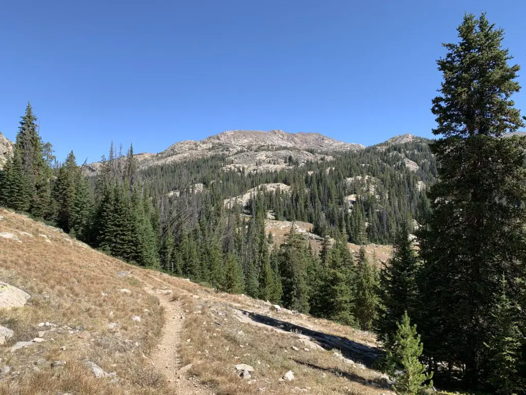
Once past the lake, you start a gradual climb through several grassy meadows and forested areas, with great views of the mountains beckoning you along the way.
The trail undulates the whole way so while there are a few short, steep spots, there are no lengthy, spirit-crushing climbs–I think this contributed to the trail feeling easier than it actually was.
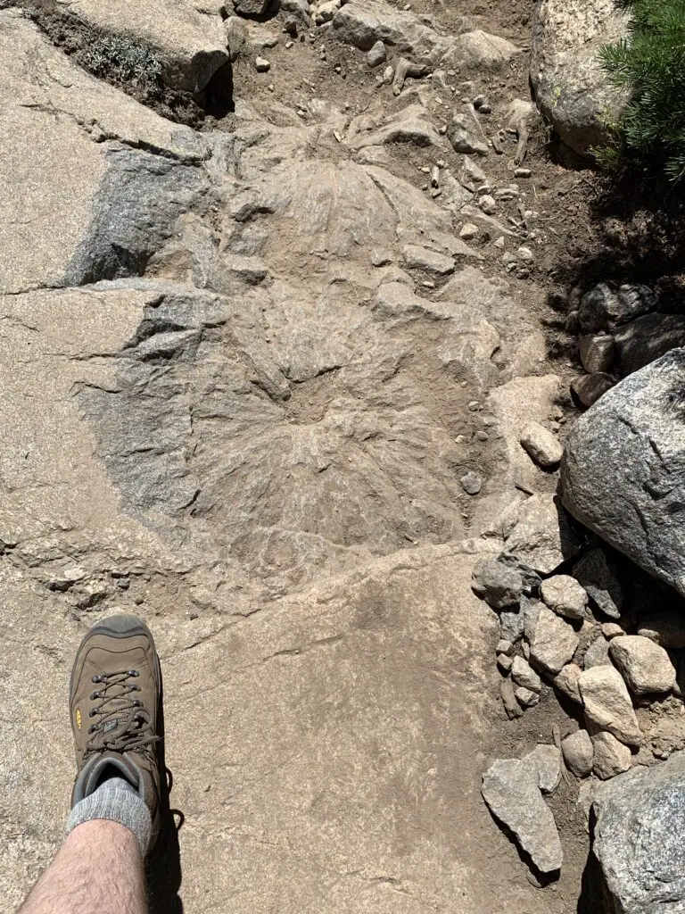
About halfway to Lake Helen, the trail becomes steeper. This is where you hit the rocky sections. There are no large boulder fields to cross and no scree slopes to navigate (on this portion of the trail) but the rocks are big enough that they cause a lot of uneven terrain that you’ll need to manage. Hiking boots are definitely recommended for this trek!
I think older kids could do this trail. It’s a longer one and they may need some help in the rocky areas, but overall I would say it is moderately difficult.
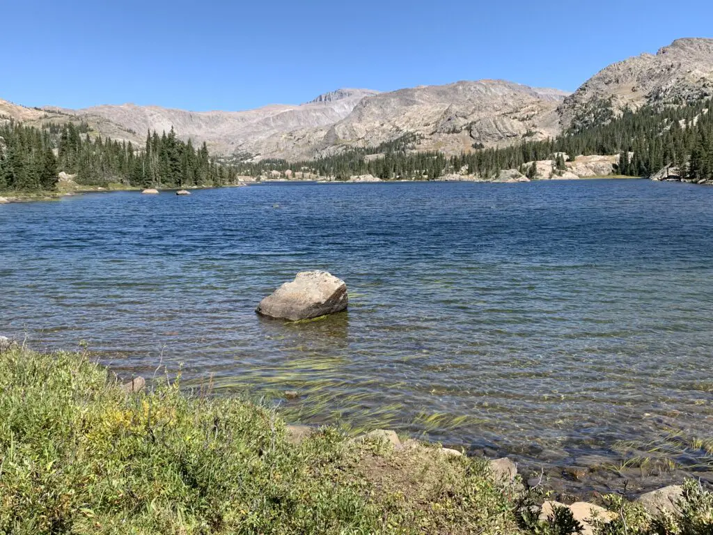
The hike didn’t actually seem that bad while we were doing it. Both Mr. Trekker and I were pleased at how good we felt throughout. Especially considering we carried heavier packs than usual (we brought A LOT of water) and we hadn’t hiked much this summer as it’s been so warm. Also, the trail STARTS at around 9000 feet (you gain around 1000 feet in elevation over its five-mile length. Lake Helen sits at almost exactly 10,000 feet.)
Mr. Trekker and I were both pleased that we didn’t feel the altitude too much (it probably helped that we camped at 9000 feet the night before). If you aren’t used to these altitudes though, you’ll definitely want to take it easy.
The Trekkers seem to be doing better with altitude in recent years. It used to be that just driving to Estes Park in Colorado (which sits at around 8000 feet) was enough to make me feel funny. Now we’ve camped and hiked higher than that on multiple excursions in Colorado, Wyoming, and Montana and done quite well. They claim your body “learns” how to adjust to the altitude better the more you experience it and I think that may be true. (Living at 3000+ feet for the last decade probably hasn’t hurt either. 😉)
We considered going all the way to Misty Moon Lake but that would have added several miles to our already 10-mile hike. All three of us were feeling good when we arrived at Lake Helen so we figured we’d just spend a relaxing lunch at the lake and head back.
As it turned out it was good we did decide to turn back. Even though she was raring to keep going when we reached the lake, by the time we got back to camp Puppers was hurting. This was the first time she’s ever really had issues on the trail. This is one of the longer trails we’ve ever done with her (though she’s done 10 miles with us before). This trail is REALLY rocky, in parts, which means it’s probably also one of the toughest trails we’ve ever done with her. We did LOTS of rock hopping on the way down and she was obviously aching by the time we got back. She seemed to make a full recovery within a few days though! (In her defense, my hips were sore for several days afterward, as well.)
Obviously, I can’t speak to the trail past Lake Helen (since we didn’t do it. 😉 I do know that Misty Moon Lake is only about 300 feet higher than Lake Helen but it takes two more miles of hiking (each way) to get there.
Also, my understanding is once you get past Misty Moon Lake the trail gets much tougher. There are some scree slopes and boulder fields (namely on the way to the wreckage site at Bomber Mountain and to reach the actual Cloud Peak). Also, once you get past Lake Helen you are basically above treeline the entire way. This means there is NO SHADE at all so make sure you bring sun hats, LOTS of water, and sunscreen if you’re planning to go this route. There is also NO PROTECTION if you’re caught out in a storm.
I cannot stress this enough: if storms appear imminent PLEASE get below treeline as safely and quickly as possible. It is INCREDIBLY dangerous to be above treeline during a lightning storm. Safety should ALWAYS be your first priority!
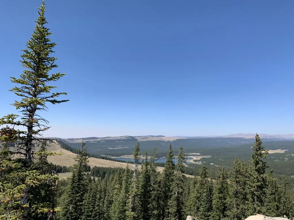
From Lake Helen you can see Bomber Mountain and the high-altitude, Florence Pass to the right. What you cannot see is Cloud Peak (as often as we have visited the Bighorns we have yet to see that site. It’s VERY isolated. 😝) From what I have heard from other hikers though, you CAN get views of Cloud Peak from Misty Moon Lake.
Let’s talk about Bomber Mountain and Cloud Peak
Cloud Peak and Bomber Mountain reach altitudes higher than 12,000 feet so altitude sickness starts to be a concern when you spend lengthy amounts of time at these altitudes. Potential hikers should also be aware the snow can be quite deep on these trails through July! Also, mosquitoes are said to be HORRIBLE in the summer (we had no problems at all on Labor Day weekend and we didn’t use any bug spray. 😁)
Bomber Mountain: This used to be an unnamed mountain in the Bighorns. That is until a World War II-era bomber crashed here while on a training mission in the early 1940s. If you know where to look you can still view the wreckage. (Don’t ask me how to get there, I don’t know. 😉. For more info on this hike you can click here)
You can check with local forest offices for information on how to get to the site. From what I’ve heard there are also rock cairns that help direct the way but you need an idea of where to look.
Please be respectful if you visit this site as several soldiers did lose their lives in the crash.
There are no actual trails that go to Bomber Mountain or Cloud Peak. (This seems a little odd to me as Cloud Peak is the highest point in the Bighorns and is what the wilderness area is named for, but I digress. 😝) There are some rock cairns to guide your way to Cloud Peak. My understanding is for Bomber Mountain, you pretty much just have to know where you are going.
This being said, PLEASE be sure you have a good, topographical map and a compass with you if you are attempting these hikes. Also, be aware there will likely be some bushwacking involved and you could easily become lost. These routes should only be attempted by EXPERIENCED, backcountry hikers! (Cell phone service is spotty at best in this area. DO NOT rely on it!)
Cloud Peak: “can” be done in one day but it would be a VERY long and VERY hard day (it’s around 24 miles total). People have done it but most suggest doing a 2 – 3 day backpacking trip. (Lake Helen and Misty Moon Lake are popular places to camp for these.) The last three miles to the summit are said to be a boulder field with “house-sized” boulders (per the reviews). The “trail” isn’t super clear either. Some people suggested this is actually a more difficult hike than the notorious Longs Peak in Rocky Mountain National Park 😮 so PLEASE think hard and use incredible caution if you’re considering this trek.
West Ten Sleep Lake Campground
On other trips, we’ve stayed at the Island Park campground but since we were leaving from the trailhead at the lake we stayed at the West Ten Sleep campground on this trip.
It was LOVELY! Some sites had views of the lake, ours had forest views. But the sites were nicely shaded with lots of soft, pine fluff. The campground was also relatively quiet and quite pretty. It was also only a couple of hundred yards to the beauty of West Ten Sleep Lake!
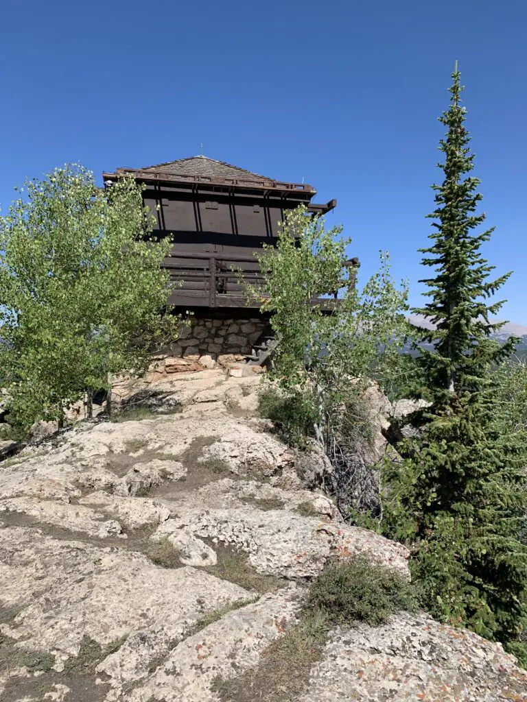
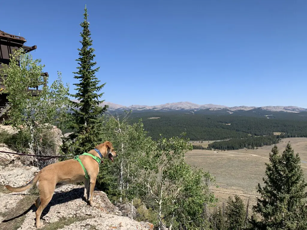
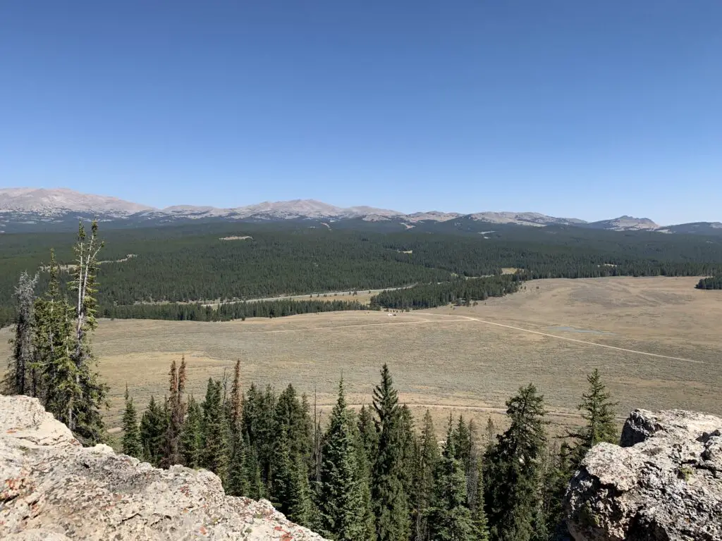
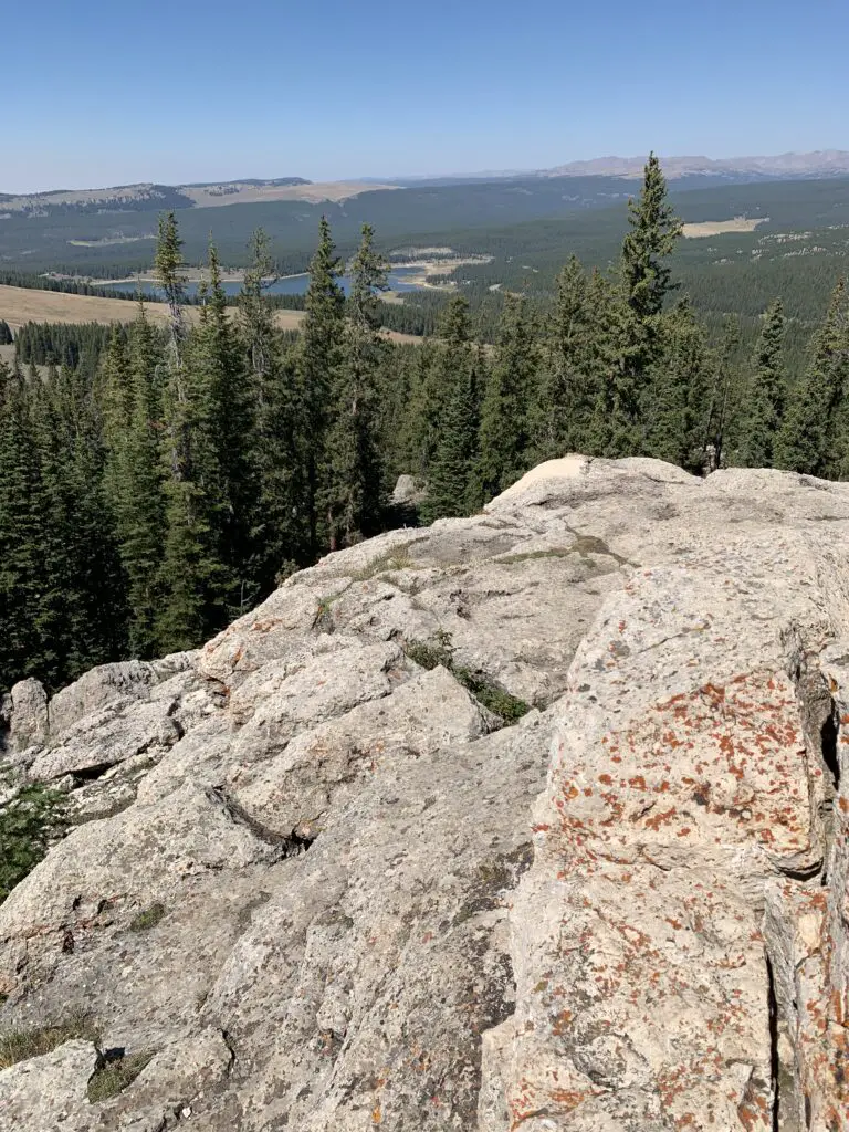
James T. Saban Fire Lookout
The Trekkers have passed this lookout on every trip we’ve made to the Bighorns and we always say, “we should check that out!”…so, we did!
The trailhead for the James T. Saban Fire lookout is found off Route 16 in the Bighorn Mountains, around five miles east of Meadowlark Lake. The turnoff is on the south side of the road. I can’t remember if there are signs telling you to turn but you can see the lookout at the top of the hill from the road. This is also the turnoff for the St. Christopher’s Chapel and there are signs for that site.
This fire lookout is easy to reach and offers some amazing views of the surrounding area. It requires a short drive on a narrow, dirt road to reach the trailhead. You’ll want to take it slow and watch where you are driving. In good conditions, I would be comfortable taking almost any higher clearance car, SUV, or truck there. In poor conditions (mud or snow) the road may be impassable.
Once you reach the trailhead, it is about a 15-minute walk (in each direction) to the tower at the top of the hill. It isn’t a bad hike. It gets a little steep in spots but the trek is short enough almost anyone in good health should be able to handle it. (Note: you are at an altitude of around 8000 – 9000 feet in this area so take your time as you may feel short of breath.)
Though it is a bit long and strenuous, the Misty Moon Trail to Lake Helen is a great hike if you want to really get a taste of the Cloud Peak Wilderness area in the Bighorn Mountains!
Have you hiked to Lake Helen, Bomber Mountain, Cloud Peak, the James T. Saban Lookout Tower, or Misty Moon Lake? If so, tell me about your adventures in the comments!
Did you enjoy this post? Pin it!
Like what you read here today? Please feel free to leave a comment, like or share this post! You can also follow the blog on social media by clicking the links below!
A post about a nifty museum we visited in south-central Pennsylvania.
If you’re in south-central Pennsylvania and you enjoy military museums, check out the US Army Museum (also called the Army Heritage and Education Center) in Carlisle!
To be honest, this type of attraction is much more up Mr. Trekker’s alley than mine. I’m not really into war/military stuff all that much. However, he enjoys learning about history and going to these types of museums so as the sweet, dutiful wife, I happily tag along. 😉I will say, I was pleasantly surprised and impressed with how much I enjoyed this locale.
Where is the US Army Heritage and Education Center?
This US Army Museum is located at 950 Soldiers Dr., in Carlisle, Pennsylvania. I will warn you, it isn’t super easy to find. The museum sits right along I-81 but there isn’t a good exit for it off that highway so, don’t rely on that landmark to find the attraction. 😝 There are a number of signs around town pointing to the Carlisle Army Barracks…but these are on an active Army base and aren’t where you want to go.
You can reach the museum off of Army Heritage Drive which is located off of East North Street/Claremont Road in town (which you can reach from Route 11). My advice would be to ignore the blue signs around town (until you are almost to Army Heritage Road) or else they will just confuse you.
The good news is if you take a wrong turn and end up on base–which is surprisingly easy to do–the soldiers at the guard house are very friendly and willing to direct you where you need to go (I can speak from experience 😇). You get the impression they’ve done this before. 😝
Note to the US Army: maybe make your awesome museum less confusing to find?
Signed: a US taxpayer 😝
Outdoor Exhibits at the US Army Museum in Carlisle, PA
The outdoor exhibits at the museum are pretty cool! We didn’t have time for the “Global War on Terror” portion before the rain arrived, but the rest of the outdoor displays were great! They include a walking path for the family to enjoy and you can even bring your furry friend along for this section of the museum.
Two of the exhibits allow you to walk through both an American and German version of trenches from World War I.
I found myself feeling claustrophobic and panicky in these close quarters and we only had to worry about noise from I-81 nearby. I can’t imagine what it was like with bombs exploding around you while standing knee-deep in unnamable slop with death all around. 😮
We also got to see a Vietnam-era “hooch” and climb a tower camouflaged in the jungle foliage, then we were off to explore some Civil War and World War II-era cabins.
The outdoor portion of the museum is great, our only criticism of it was the order of exhibits was a little convoluted. They start with the modern-day War on Terror, then jump to World War I trenches, then to Vietnam, then to the French and Indian War, then to the American Revolution, then to the Civil War, and then finally end with World War II. 😝
Indoor Exhibits at the US Army Heritage and Education Center
I was also impressed with the museum’s indoor exhibits. This included a picture gallery of Army history from the early 1900s to the Present.
Many of the exhibits were hands-on and quite fun! In one you get to experience a nighttime parachute jump into an enemy jungle. In another you’re sitting in a Korean War-era “hooch” at night, hearing bullets whiz by outside. There is another where you get to experience riding in a “Huey” helicopter.
There is also an exhibit where you are given dog tags for people who were actually in various wars (World War II, the Vietnam War, the Gulf War, etc.) You then “follow” them through the course of the exhibit. This reminded us of the experience at the Holocaust Museum in Washington, D.C., where you “follow” a person throughout the whole experience.
These are just some of the hands-on exhibits available at the museum. I thought they all offered something interesting that even kids can enjoy!
Want more information on the US Army Museum in Carlisle, PA?
See below for more info on the US Army Heritage and Education Center:
You can check out the main website for the museum here.
This website gives information on theArmy Heritage Trail–this is all the outdoor exhibits at the US Army Museum.
If you’re in south-central Pennsylvania and you’re looking for a fun activity the whole family can enjoy, check out the US Army Heritage and Education Center!
Have you ever been to this museum? If so, what did you think? Let me know in the comments!
Did you enjoy this post? Pin it!
Like what you read here today? Please feel free to leave a comment, like or share this post! Add your email at the bottom of the page, or the sidebar to the right, to be notified when a new post is published. By signing up for the email list, you will also receive a free copy of the Tranquil Trekker’s Top 10 Tips of Trekking Do’s and Don’ts!
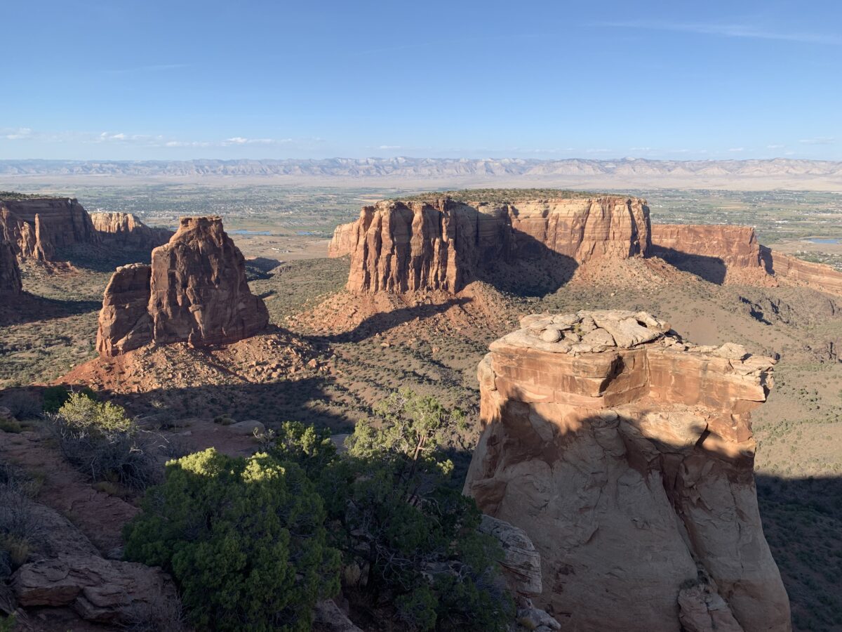
You can also follow the blog on social media by clicking the links below!
In this post, I detail a recent trip the Trekkers took to the San Luis Valley in south-central Colorado.
One cool event to check out in early March is the Monte Vista Crane Festival in the beautiful, San Luis Valley of south-central Colorado!
The time we visited our trip started with an interesting drive down I-25 in southeast Wyoming near Cheyenne. We got as far as Wheatland, Wyoming on the interstate, and then saw the flashing sign for “I-25 closed to Cheyenne”! (It had snowed the day before, and even though it was bright and sunny strong winds were causing blowing snow and bad enough winter conditions to close I-25 and I-80 for close to 12 hours!) So, we had to turn around and drive in “a big f-ing circle”–per Mr. Trekker 😂–back to the nearest alternate route through Torrington.
Anyone who’s driven through MANY parts of Wyoming knows, alternate routes (or roads in general) can be hard to come by. 😝
After navigating some black ice…in the dark…and some sketchy drivers (I’m looking at you reckless semi-truck! 😒)we finally made it safely to Cheyenne. From there it was an easy trip to the hotel in Lakewood (with a quick stop at Chick-fil-A for dinner!) This is the price we pay to live in the INCREDIBLE Mountain West and try to travel during the fickle, early spring. 😂
The next day we headed down the GORGEOUS Route 285 southwest of Denver. I LOVE this drive, it is always SO PRETTY! It sweeps through mountain passes and across alpine valleys. It was cool because we’ve never been to the Rockies when they had this much snow before! One of my favorite parts of the drive traverses South Park, an incredible valley in central Colorado. Click here for a video!
San Luis Valley, Colorado
Eventually, we arrived in the BEAU-tiful San Luis Valley!
The San Luis Valley, in southern Colorado, is an amazing place! It is the world’s largest high-altitude (alpine) valley that stretches over 100 miles north-to-south and is almost 75 miles in width. It was once the bottom of a large lake and this is evident as the valley floor is flat as a pancake! The valley is especially striking as it is lorded over on three sides by the Sangre de Cristo (Blood of Christ) mountains that reach higher than 14,000 feet! The views here are truly incredible! (Click here for a short video of the drive into the valley.)
Where is the San Luis Valley?
You will find this amazing valley hidden…in the middle of nowhere. 😉The southern tip of the valley is only about 35 miles north of the state’s southern border with New Mexico. The valley is also situated almost directly in the center of Colorado (going west-to-east). It sits around 150 miles west of the mountain town of Durango and 120 miles from I-25 (nearest to the small town of Trinidad and the larger city of Pueblo.)
Fun Things to do in the San Luis Valley
The San Luis Valley is chock full of fun (and sometimes downright WEIRD) things to do!
Great Sand Dunes National Park
This is the second time we’ve visited this park. The first was several years ago in October (another lovely time to visit.) We were able to hike higher on the dunes this time but we still haven’t made it to the top. Those things are steep and they’re situated at like 8900 feet of elevation so you’re dealing with thinner air too! It always seems to be windy at the Dunes (but I suppose that makes sense as wind is what created them. 😉)
Crestone, Colorado
The small town of Crestone, Colorado is found in the northeast corner of the valley. The town has a population of only a little over 100 people but at least eight different religions offer sites here. They range from a co-ed Catholic monastery to Buddhist, Hindu, and New Age offerings. You can see a Ziggurat–a monument commonly found to honor ancient, Mesopotamian gods. There are also Buddhist and Hindu centers. This tiny town even hosts the only open-air funeral pyre (used for open-air cremation) in the country!
Aliens in the San Luis Valley?
This valley is known for one very unique characteristic, a large amount of UFO sightings! This has helped it earn the title of the “Bermuda Triangle of the West”. There have been recorded UFO sightings in the valley since the Spanish Conquistadors first came here in the 1500s! (Before that time there are stories of “Star People” found in the ancient legends of the American Indian tribes who were here far earlier.)
No one knows exactly why there are so many UFO sightings here:
It could be due to the incredibly dark, night sky that is somewhat unique to this area. This is provided by the towering mountains that surround the majority of the valley blocking out light pollution from larger towns in the local area.
This region is also very rural, some of the largest towns in the valley only boast populations of around 10,000 people.
Some also suggest these sightings may be related to covert operations occurring at Cheyenne Mountain, a military base located less than 200 miles to the northeast (not too far as the secret government plane flies. 😮 😉)
Whatever the reason though, there are more UFO sightings here than at the infamous, Roswell, New Mexico.
UFO Watchtower!
Continuing with the “out-of-this-world” tradition of the San Luis Valley is the UFO Watchower! We discovered this unique locale the first time we visited the valley. We literally stumbled on it as we were driving down the road. 😂We didn’t have time to stop then so Mr. Trekker promised we could return on the next trip!
It takes a little imagination and a BIG open mind to fully appreciate the quirkiness of the site. The story goes that two large, energy vortices are found here. One spins clockwise, the other counterclockwise. (They are said to be connections to other dimensions/universes. Supposedly, 25 different psychics have visited the site and have confirmed this.) Several have also claimed that two large “beings” protect the vortices (they’re supposed to be friendly as long as you are respectful. 😇)
I’m not sure I believe any of this, but science has shown the earth has different magnetic fields, so maybe these could influence the area? Neither of us sensed anything strange but maybe we’re just skeptics? 😝
There is “The Garden” where people leave trinkets (I left a bobby pin, it’s all I had in my pocket. 😇) Some of the psychics also claim there is a mile-long mothership buried in the ground underneath the watchtower. (Could this help explain all the UFO sightings? 👽🖖)
Where is the UFO Watchtower?
The UFO Watchtower sits around three miles north of the tiny community of Hooper, Colorado. You will find it on Route 17, a little more than halfway down the San Luis Valley. It is situated around 25 miles north of one of the largest towns in the valley, Alamosa, and about 60 miles south of the town of Salida.
The friendly proprietor of the site claims that since the destination opened in May of 2000 around 231 “tourists from outer space” have been spied in the night sky over the valley. (The owner claims she’s seen around 28 “things she can’t explain”.)
Sandhill Cranes!
The main reason we chose this weekend to visit the San Luis Valley is that it was the date of the annual, Sandhill Crane Festival (it occurs every year in early March.) We always enjoy watching (and hearing!) the cranes fly over our area every fall and spring, their unique song echoing across the Hills as they fly high on the thermals.
We actually learned while we were down there that the Cranes that fly over the Black Hills are NOT the ones we were watching in the San Luis Valley. These are the greater Sandhill Cranes that migrate to the Yellowstone area for the summer. The ones that fly over our house are the lesser Cranes who summer in Canada.
You can view the cranes, feeding, flying, and “loafing” about all around Monte Vista. We especially enjoyed visiting the Monte Vista National Wildlife Refuge where we saw a bunch of geese too!
Click here for a video of the cranes, their incredible song and their “flight ballet”…
Places to Eat in the San Luis Valley
The Trekkers always find great places to eat on our adventures:
—The Cow –a yummy place for breakfast (This locale is not actually in the San Luis Valley. It is located in Morrison, Colorado, not far from the Red Rocks Amphitheater.)
—San Luis Valley Brewing Company–Alamosa, Colorado. A good place for dinner and/or drinks –Campus Cafe–Alamosa, Colorado. Another great place for breakfast (and probably the best meal we had all weekend!)
—Purple Pig Pizzeria–Another fun place for a post-adventure meal!
If you want to explore a lesser-known part of the incredible state of Colorado, check out all the amazing San Luis Valley has to offer!
Have you checked out any of these sites in the San Luis Valley? Tell me about them in the comments!
Did you enjoy this post? Pin it!
Like what you read here today? Please feel free to leave a comment, like or share this post! Add your email at the bottom of the page, or the sidebar to the right, to be notified when a new post is published. By signing up for the email list, you will also receive a free copy of the Tranquil Trekker’s Top 10 Tips of Trekking Do’s and Don’ts!
You can also follow the blog on social media by clicking the links below!
This website uses cookies to improve your experience. We'll assume you're ok with this, but you can opt-out if you wish. Cookie settingsACCEPT
Privacy & Cookies Policy
Privacy Overview
This website uses cookies to improve your experience while you navigate through the website. Out of these cookies, the cookies that are categorized as necessary are stored on your browser as they are as essential for the working of basic functionalities of the website. We also use third-party cookies that help us analyze and understand how you use this website. These cookies will be stored in your browser only with your consent. You also have the option to opt-out of these cookies. But opting out of some of these cookies may have an effect on your browsing experience.
Necessary cookies are absolutely essential for the website to function properly. This category only includes cookies that ensures basic functionalities and security features of the website. These cookies do not store any personal information.