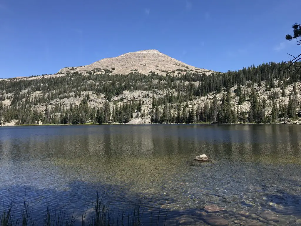
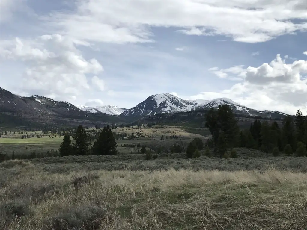
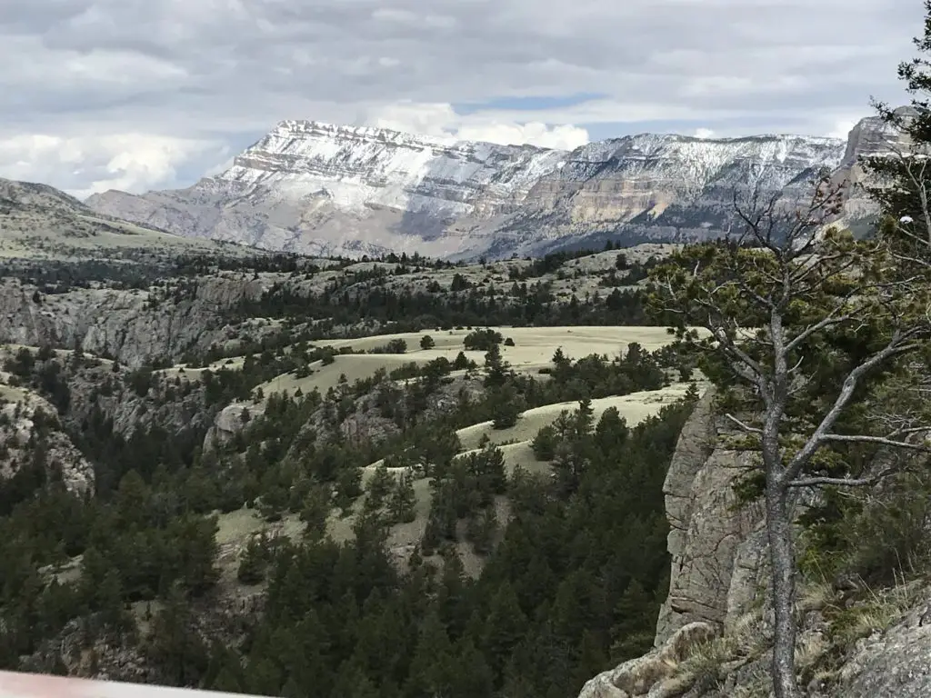
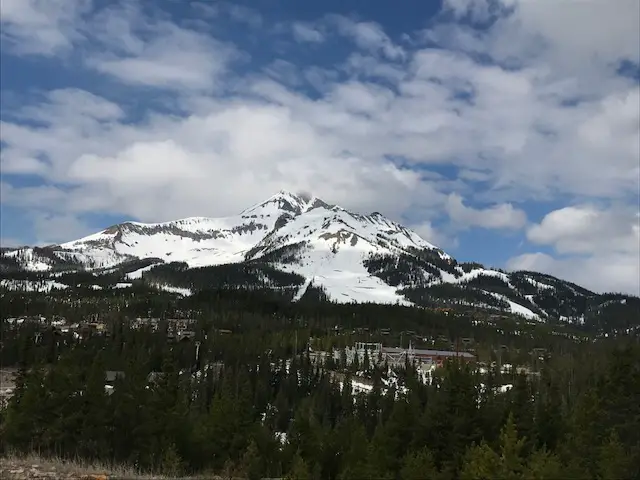
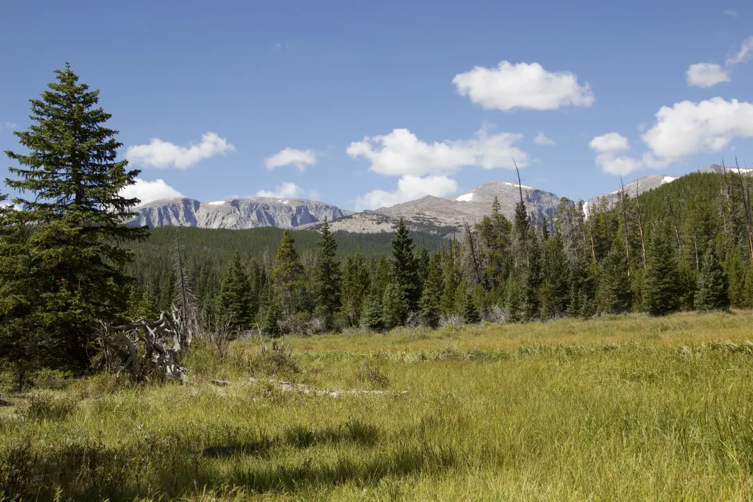
The Bighorn Mountains in northeastern Wyoming are a great place to hike and camp. There you can find great campgrounds, historical sites, picturesque waterfalls, and even dinosaur footprints!
Porcupine Campground, Bighorn Mountains
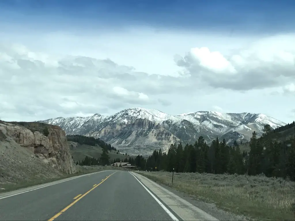
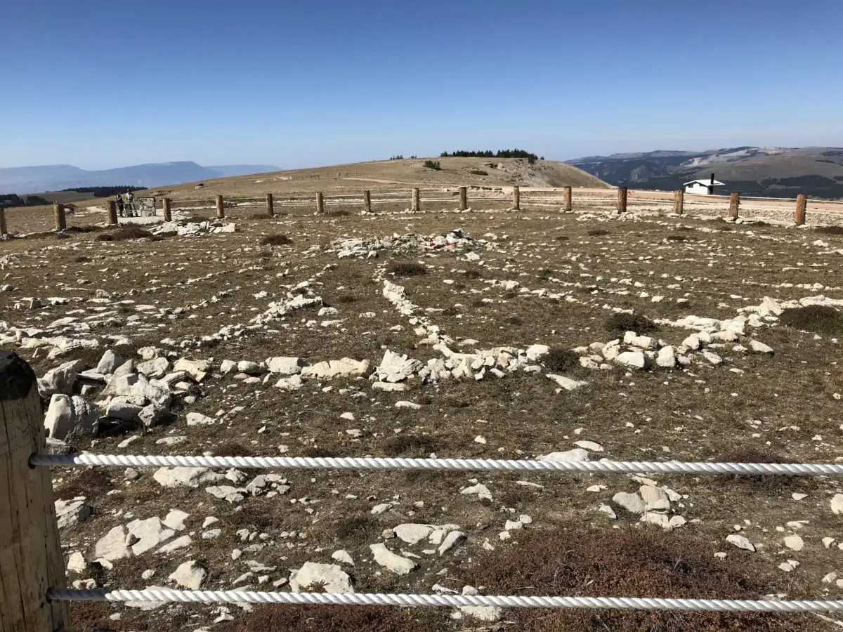
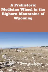
The Porcupine Campground is located off of Route 14A, in the northern portion of the national forest. (It is not far from the ancient Medicine Wheel that we visited several years ago.) We drove in from the east, from the Sheridan and the Ranchester area.
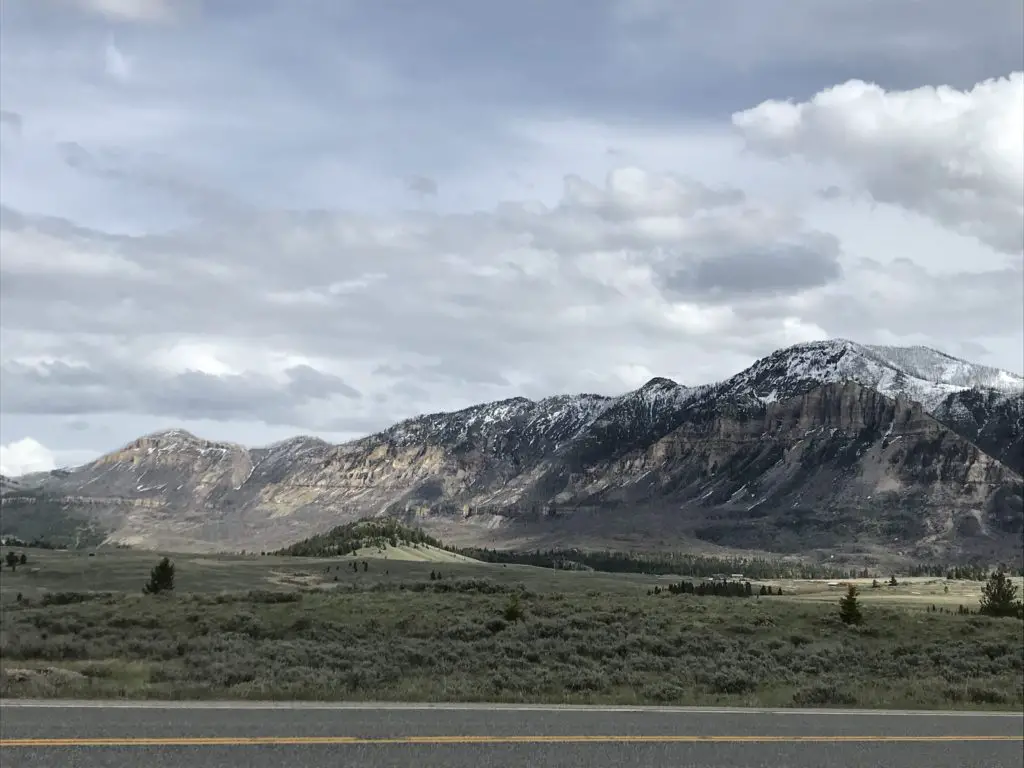
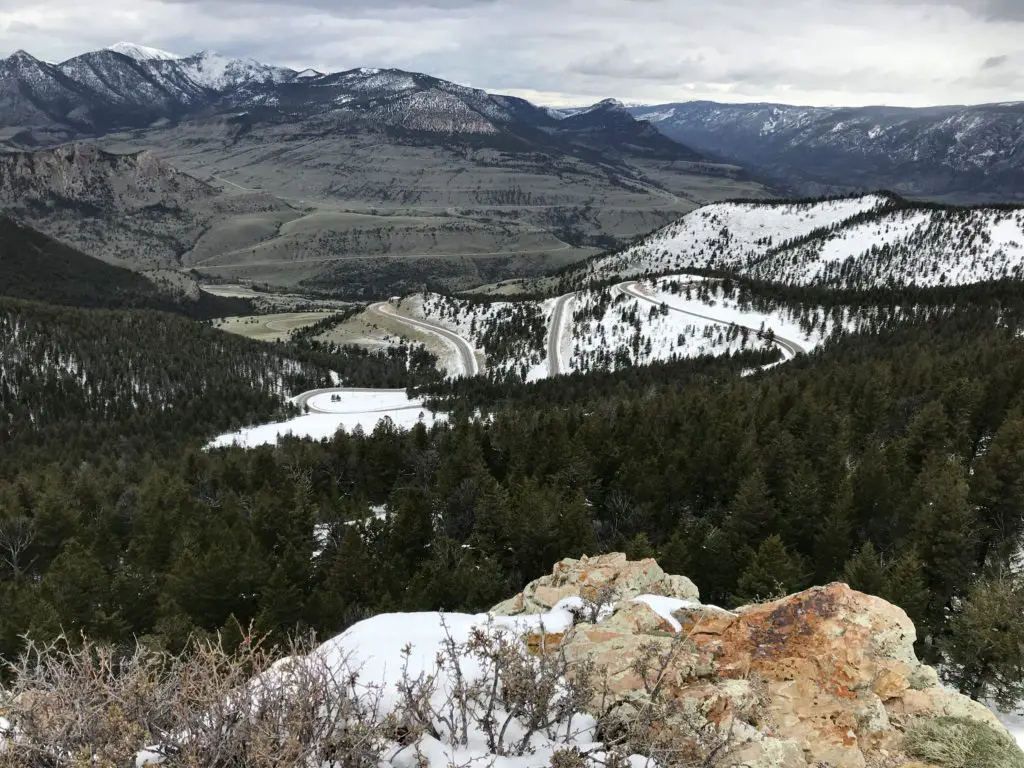
This is a MUCH easier drive than coming in from the west, near Lovell. That way is far steeper with much sharper turns. When we drove the road from that direction several years ago we both agreed we wouldn’t want to have to do it pulling a 5th wheel. We talked to someone in the campground who had accomplished this feat, and he confirmed it was quite difficult.
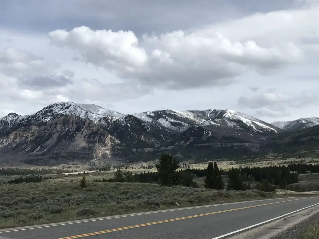
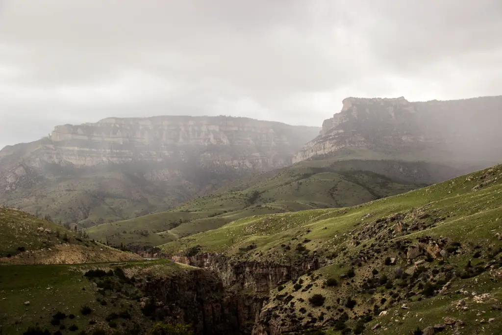
Climbing the mountains from the west you do get some nice views of the Bighorn Basin, but it was a lovely drive through a canyon coming in from the east, as well.
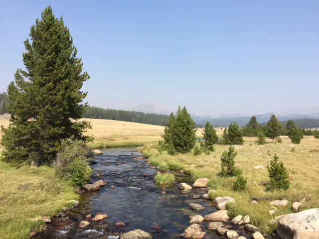
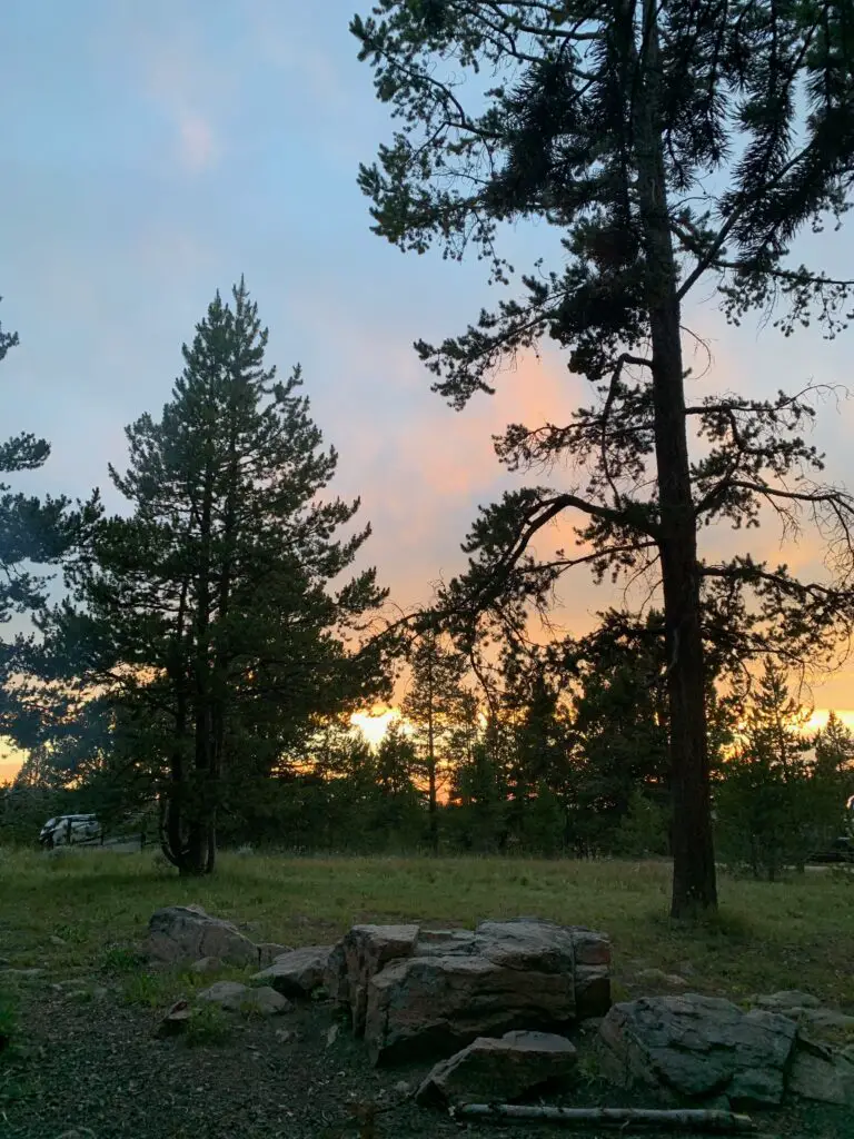
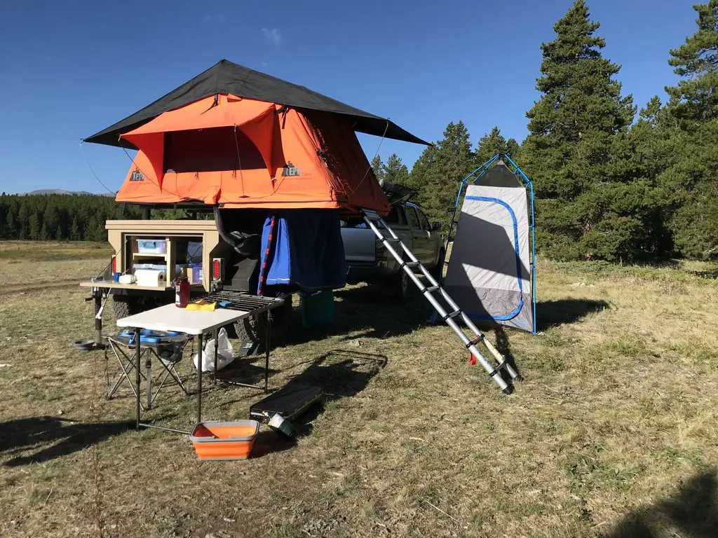
Porcupine Campground is very nice for a national forest campground. (Far nicer than one we visited in South Dakota in the Black Hills National Forest.) The sites were large and flat, and also well-spaced apart, some even appeared to be wheelchair-accessible. They also gave you lantern hooks! (I’m easily impressed, what can I say? 😉)
There was a goodly amount of shade at the campground and some of the sites offered fantastic views from the hillside. The mosquitoes weren’t quite as bad as what we’ve experienced elsewhere, though they still gave us a few good bites.
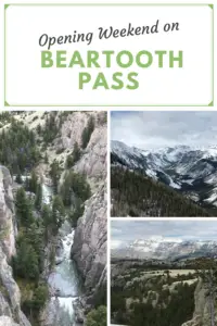
Waterfalls in the Bighorns!
Read on for two AMAZING waterfalls that are easy to reach in the Bighorns!
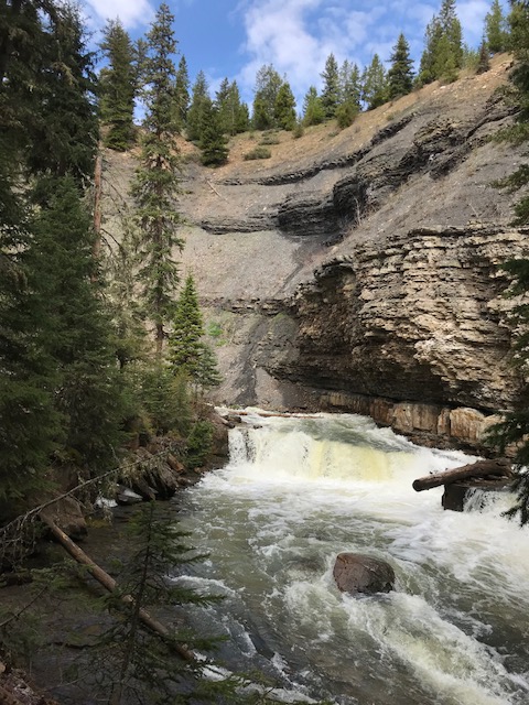
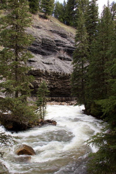
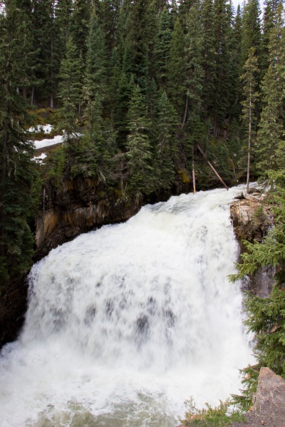
Porcupine Falls in the Bighorn Mountains
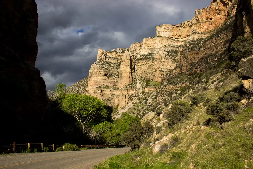
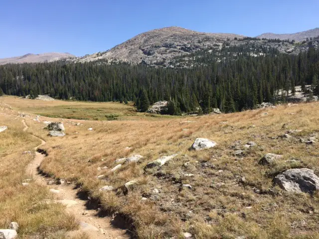
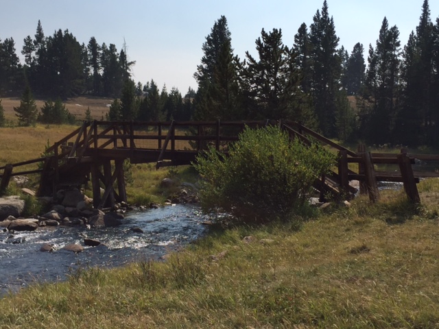
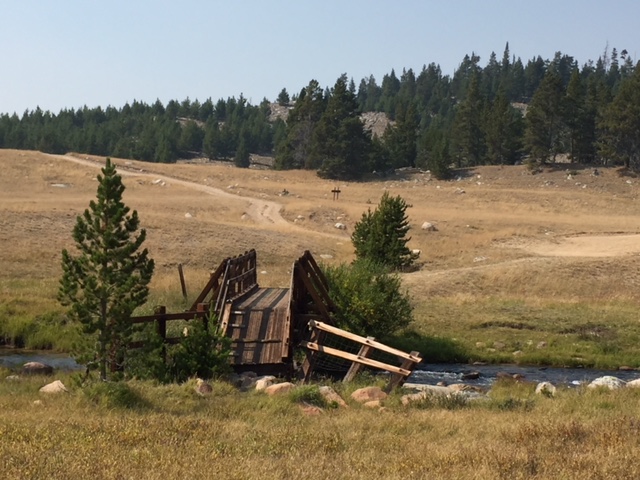
For our first hike, we visited Porcupine Falls. It isn’t on all of the maps but it is easy to find. It’s located off of Route 14, the same road as Bucking Mule Falls (which IS on most maps) and there is a sign at the turnoff. The road to the trailhead is short but it does get rather rough. (We saw people in RVs and regular sedans who made it through though.) In good conditions, most vehicles shouldn’t have too much trouble as long as you are watchful and take it slow.
The trail is short, less than a mile in each direction, but it is STEEP! We were prepared for this but I strongly recommend GOOD walking shoes with strong tread if you’re attempting this hike. In dry conditions, it was a little slippy heading down. If it was muddy or snowy/icy this trail could be downright treacherous! It’s a downhill hike the whole way to the falls, so you know what that means for your return trip! 😮 Another thing that makes the trek back so difficult is the altitude as you’ll find yourself above 5000 feet in elevation when attempting this hike.
It becomes extra fun when you meet an unleashed, less-than-friendly dog along the trail with no owner in sight, who insists on getting in your pup’s face and growling. PUBLIC SERVICE ANNOUNCEMENT: Please be responsible for your pets and respectful of everyone else on the trail. No one else knows your dog, or if the growls he emits are casual, or a prelude to something more aggressive–this is especially concerning when you have a pup who thinks EVERYBODY just wants to play with her! 🙄
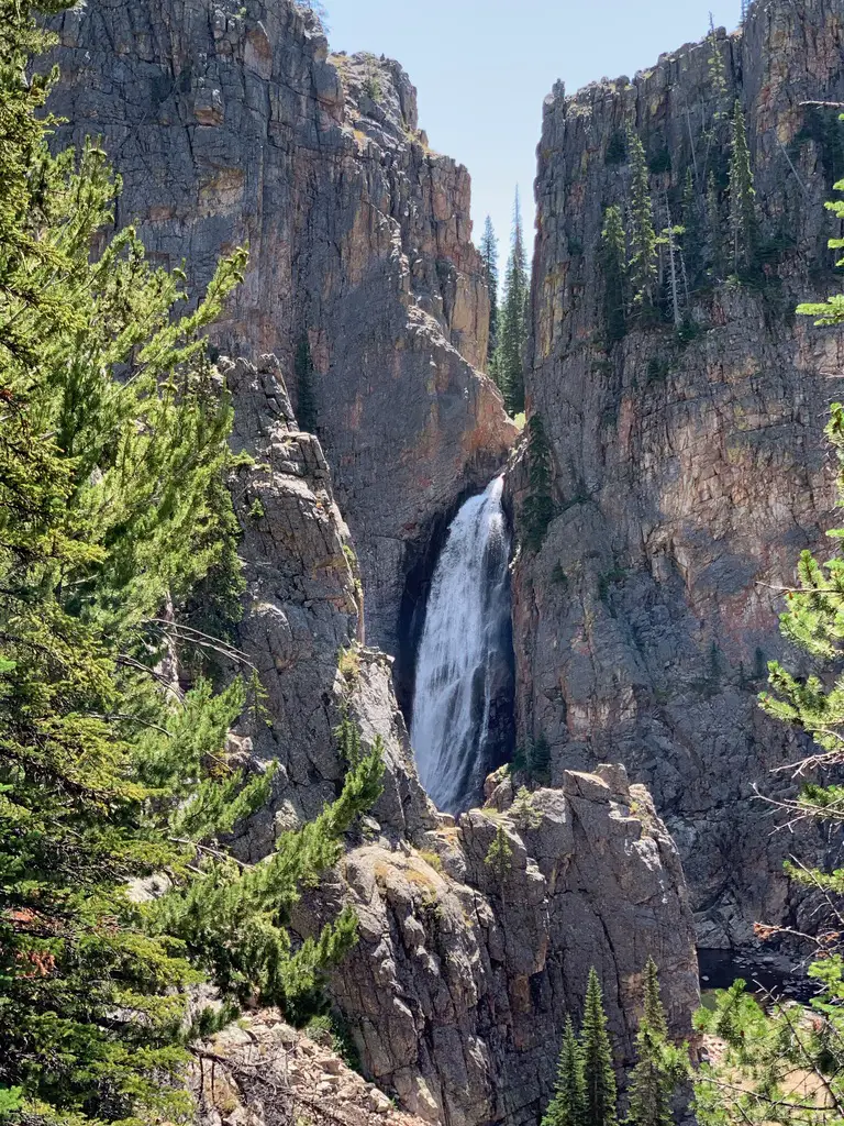
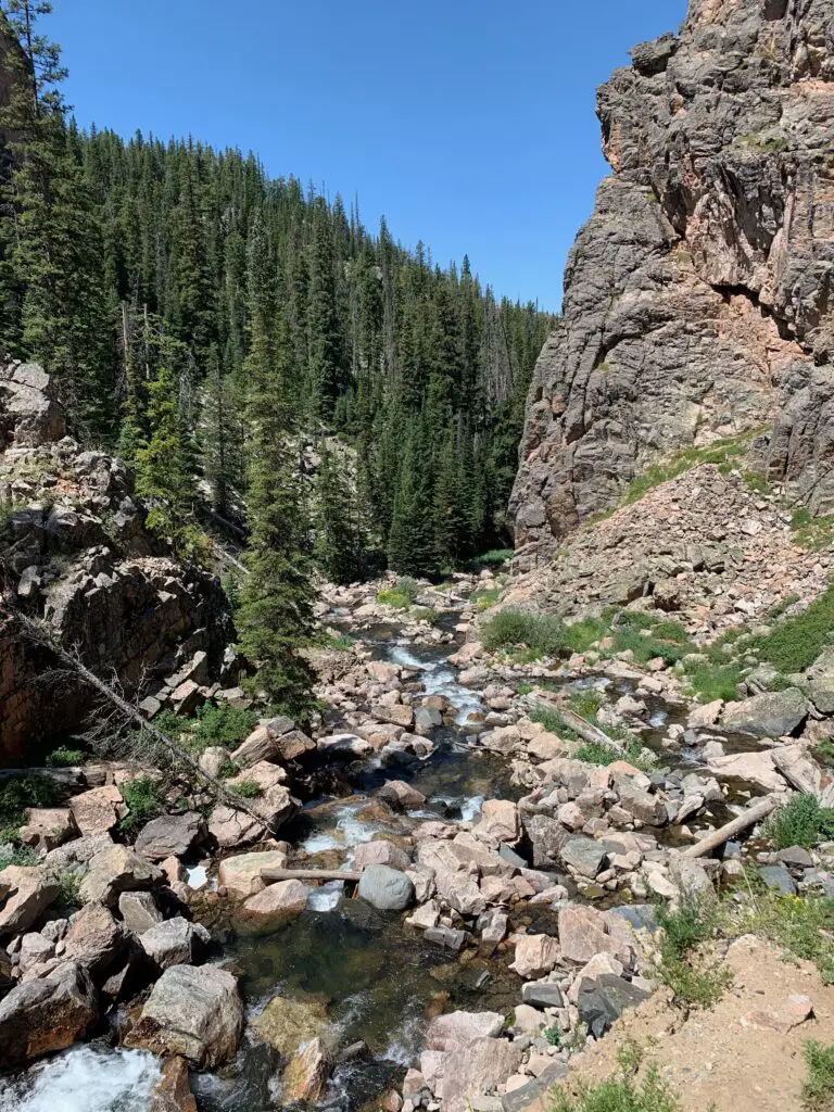
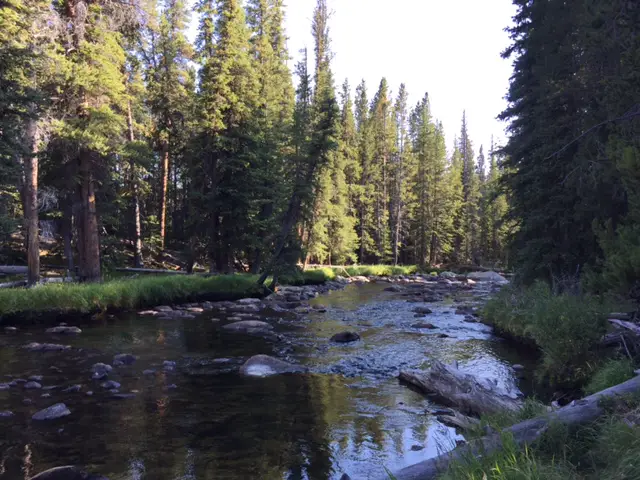
The view is definitely worth the challenge of getting to the site. The roaring cascade plummets into a pool at your feet from over 200 feet above you. On hot days, this makes for a perfect place to take a cool dip, but be warned, the water is COLD!
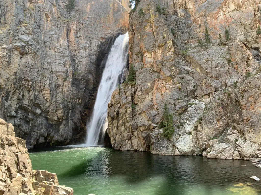
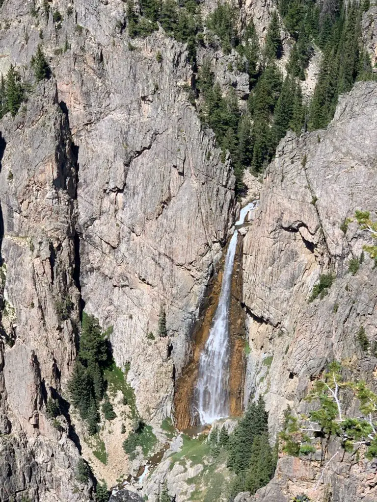
Bucking Mule Falls in the Bighorns
After that adventure, we continued down the road to Bucking Mule Falls. There were numerous horses and campers at this location and before you ask, yes, there was also a mule! Poor Puppers didn’t know what to make of the ungodly noise that emanated from him in response to some nickers from other horses. 😂
You get extra points if you know what a mule actually is (hint, it’s a hybrid). You get EXTRA, extra points if you know a unique characteristic that this hybridization causes…🤔 **(answers at the end)
I was in absolute heaven! I LOVE the smell of horse (yes, really 😝). I blame my childhood, growing up on a hobby farm, with horses, in Indiana. But seriously, there is something cool about those animals. They’re REALLY intelligent, for one thing, and their smell is divine! It isn’t anything like other barnyard animals, it’s sweeter. (The only time I’ve ever known a horse to stink is when they’re super sweaty after a hard ride.) Even their manure smells better than other animals. That’s right, you heard me! I like the smell of horse poop! 🤣
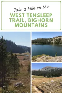
Related posts: Lake Helen, Bighorn Mountains, Wyoming; West Tensleep Trail, Bighorn Mountains, Wyoming; Bighorn Medicine Wheel in Wyoming; Camping in the Bighorns
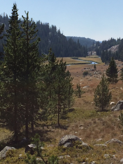
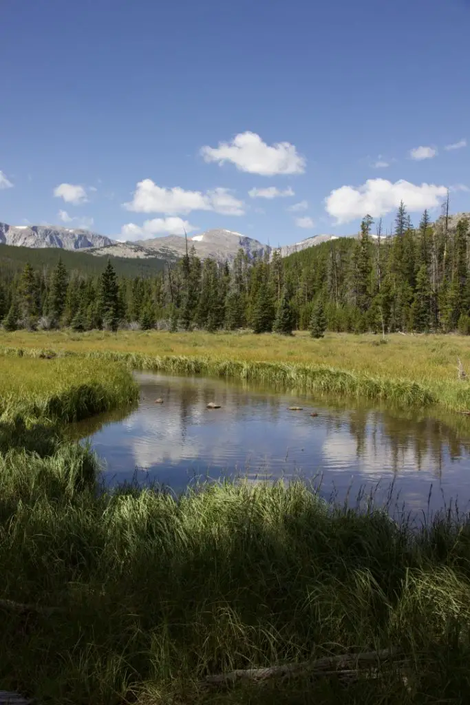
This was a great trail! It was about four miles round-trip, but there wasn’t much elevation gain. The route mostly rolled over the lower-lying hills in the local area. It traversed a beautiful, wooded forest with the pine needles cushioning your footfalls, as well as some more craggy outcrops. The trek was fairly well-shaded, on a graded path, without a lot of roots or boulders to trip you up.
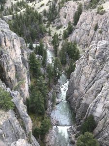
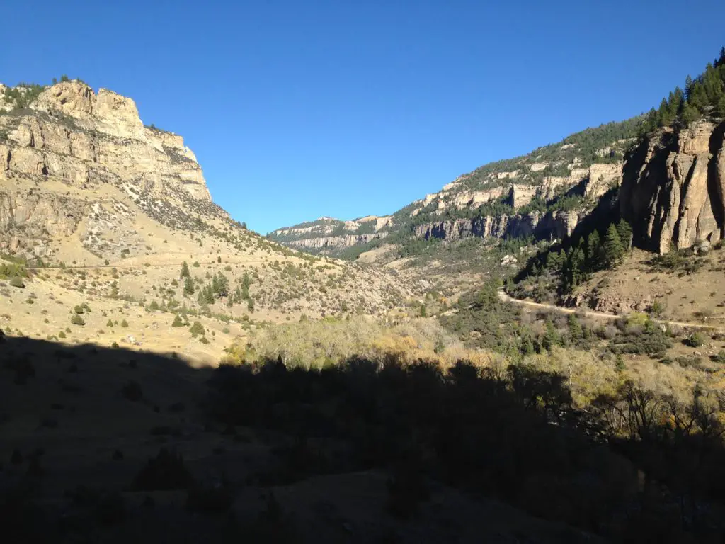
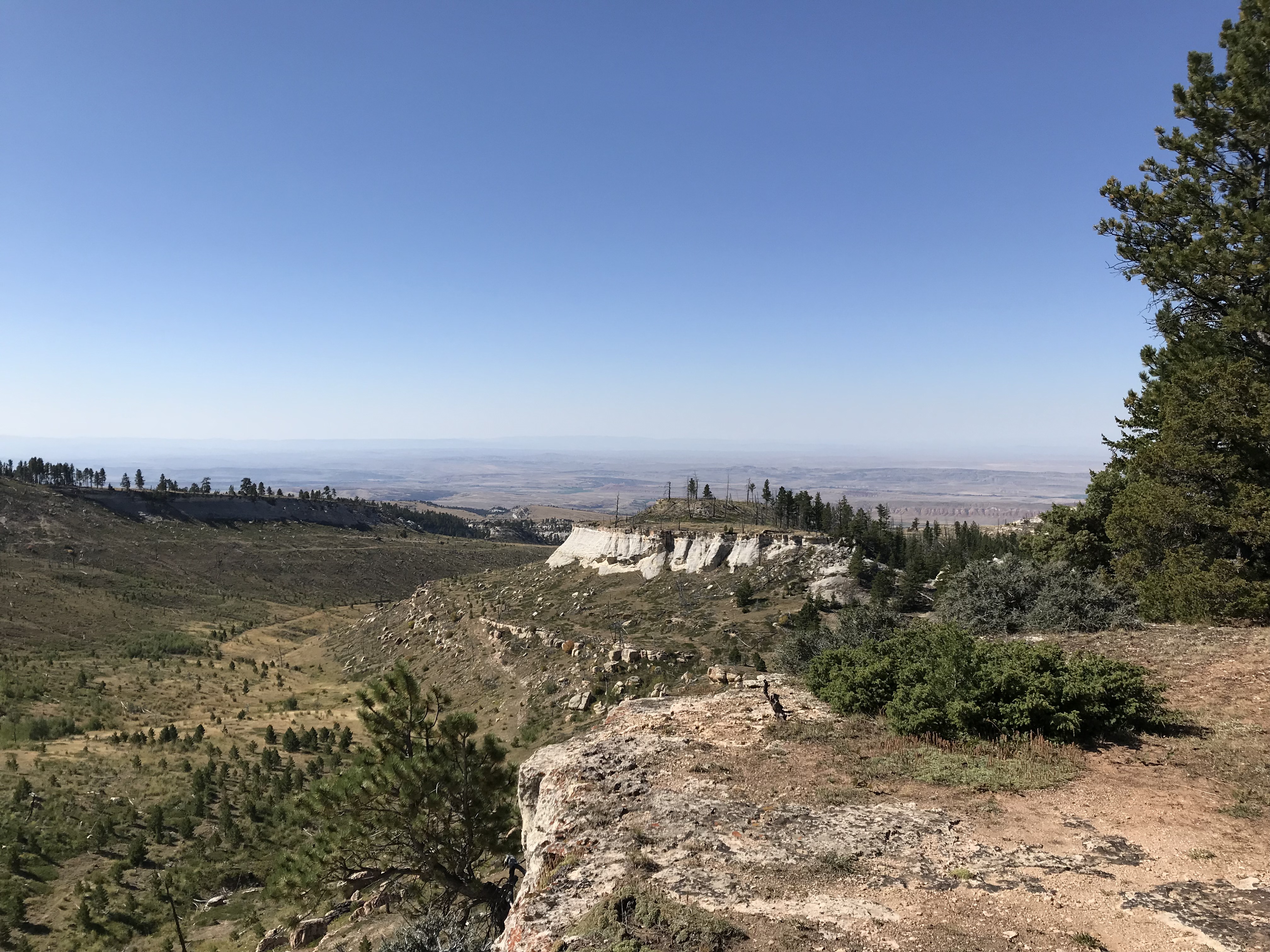
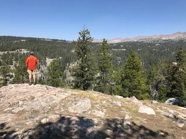
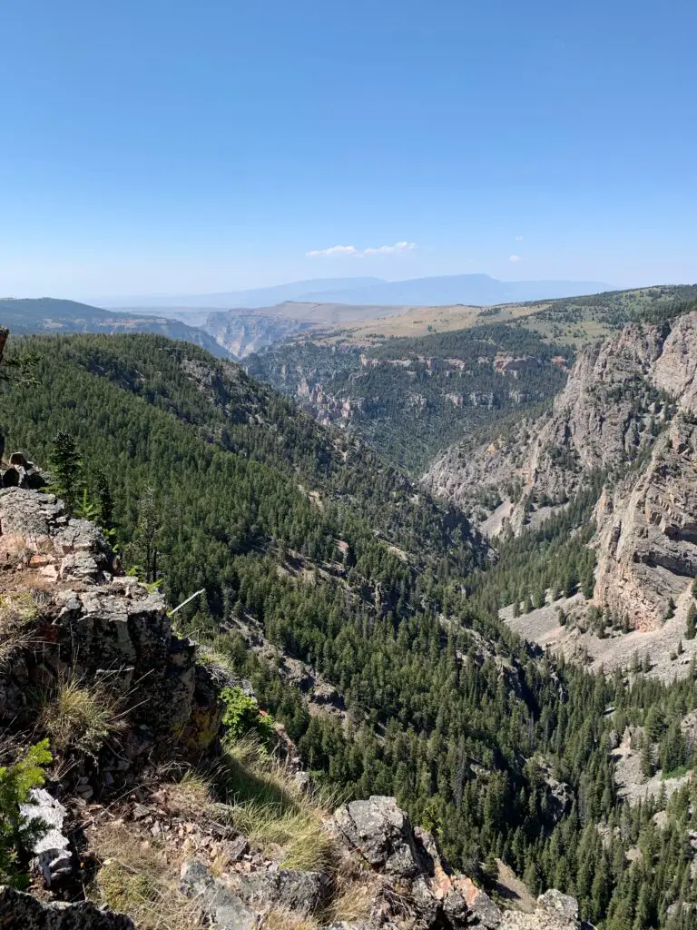
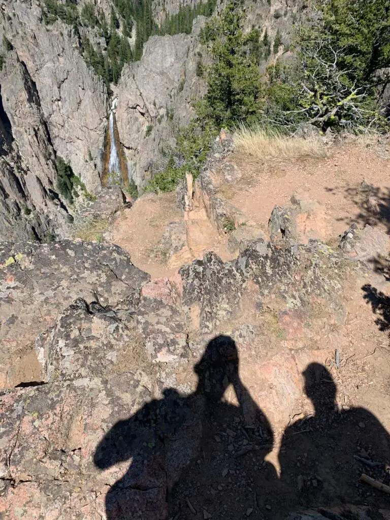
At the end, you come to a lookout point over Devil Canyon, where you look DOWN on the falls from high above (it emerges from the opposite canyon wall). It was really cool! The canyon was HUGE and beautiful, not what I was expecting at all. It reminded me of the canyon that Green River formed at Dinosaur National Monument, in Colorado. It leads to the west and opens onto the expansive, hazy plains of Bighorn Basin.
There is also a Paradise Falls in this area. I didn’t see it on the map and we didn’t know it existed until someone told us about it. Apparently it’s a bit of a secret. 🤫 It does show up on Google Maps though and looks rather easy to reach if you want to research this location on your own…
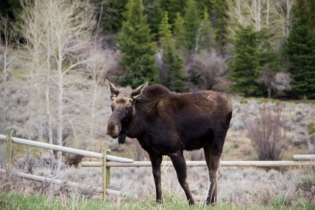
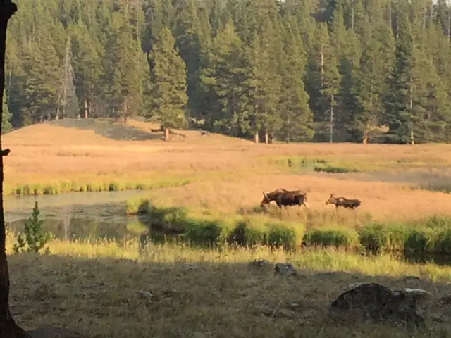
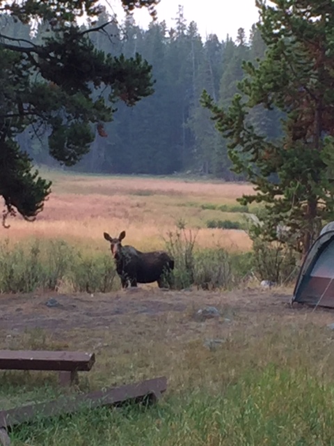
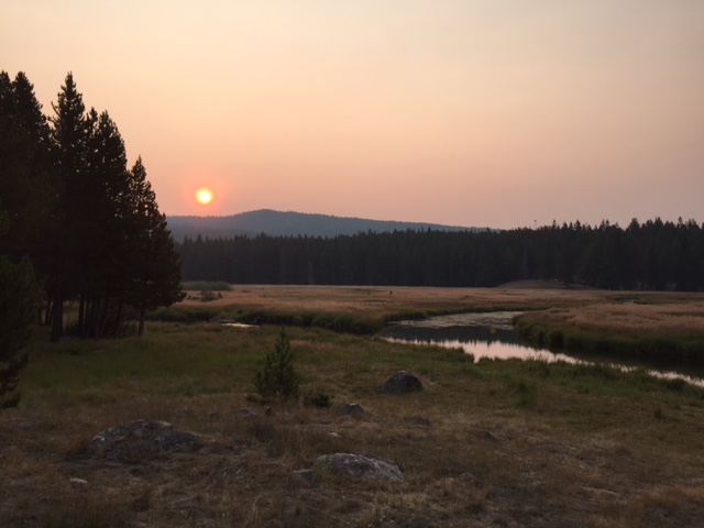
Later, we drove a loop from 14A to Route 15, to Burgess Overlook. Then we returned back to our campsite via 14A. This allowed us to FINALLY see a moose (she ended up being the only one we saw the entire trip! 😕)
It’s highly unusual that we see so few moose in the Bighorns. Usually, we are there in early September so I’m not sure if our lack of moose sightings was a result of the hotter weather over the summer, keeping them at higher elevations, or the crowds encouraging them to stay more isolated. The babies would still be smaller and younger at that time of year which may explain why the mommas may want to keep them further from people.
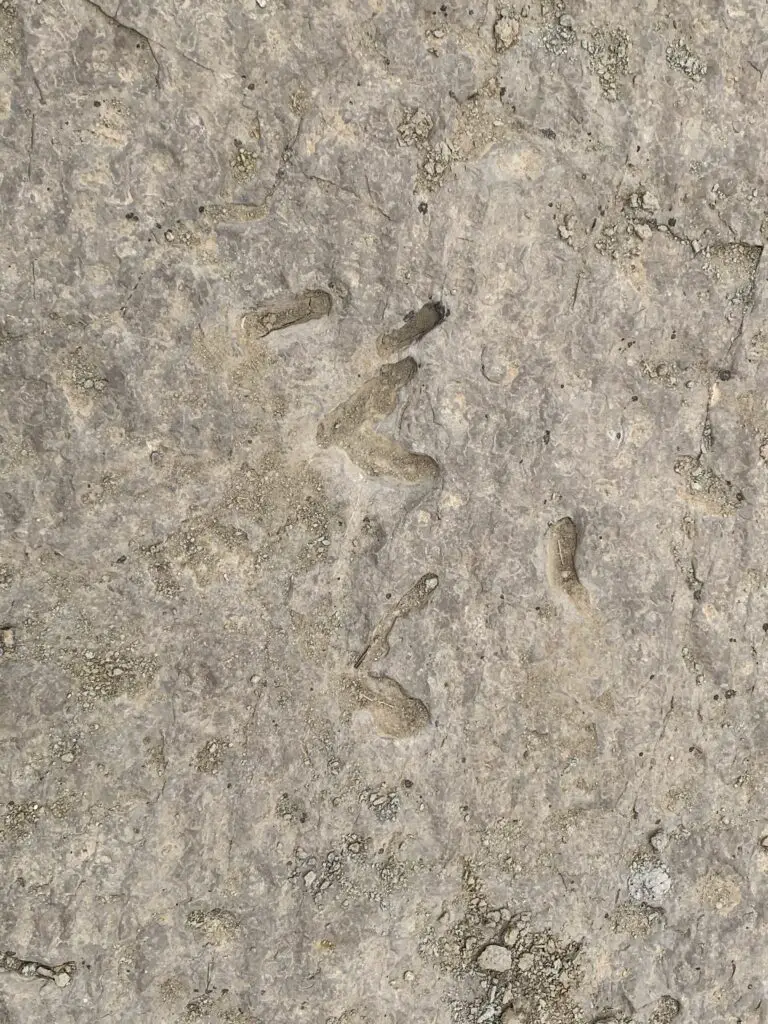
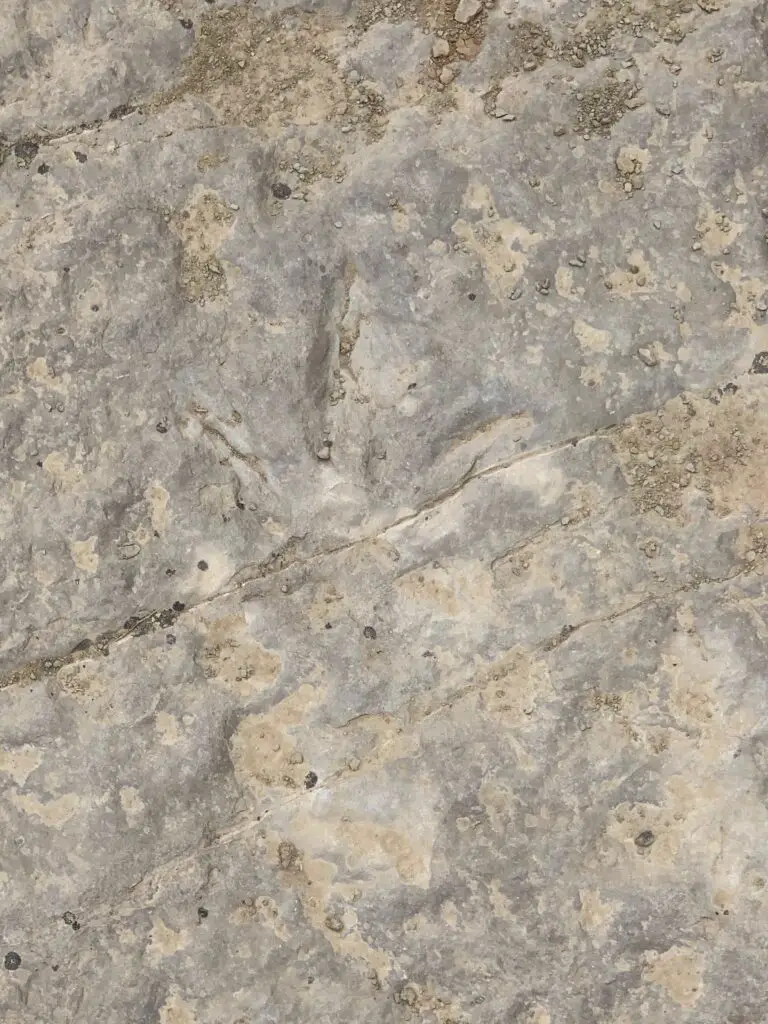
Red Gulch Dinosaur Tracksite
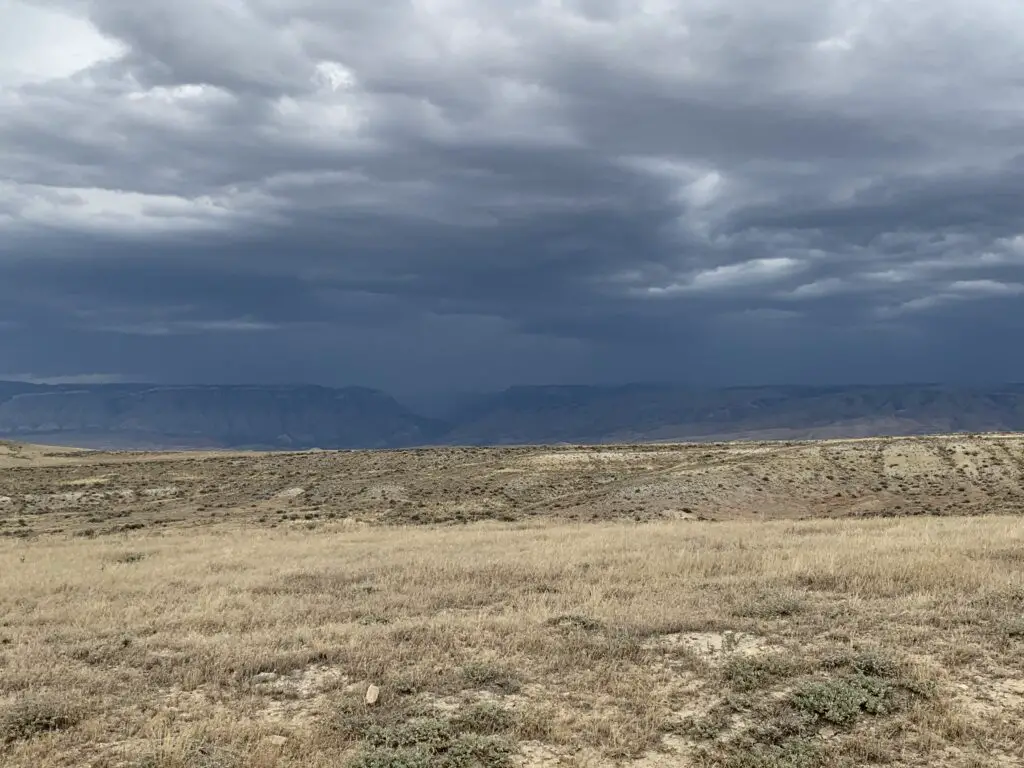
On the third day of the trip, we took Shell Canyon to the west on Route 14. We’ve traveled this road before but never in this direction, so we got a different perspective on it. Later we got to view the rain shafts hammering the canyon as we looked up at it from the west. It was a very cool sight!
Then we took Red Gulch Road to the Dinosaur Tracksite. This was very cool and something I had just happened to stumble upon on the map. They think this location was a beach on the edge of an inland sea during dinosaur times. The “terrible lizards” would walk in the mud next to the water and leave tracks. These eventually hardened and were fossilized!
This attraction is small and free. It was a nice place to visit for lunch and to let the pup run a bit. I can imagine it being quite hot on a warmer, sunnier day. They had nice picnic facilities, though.
We then finished this backcountry byway that we had completed the other leg of on another trip. Ya’ll know how I LOVE finishing things that I start! 😁 This portion of the road was quite rutted and rough too, so it’s not really fit for a typical sedan (though a higher clearance SUV could handle it in dry conditions–we saw some CRV’s do it!)
If you’re looking for some great day hikes in the northern Bighorn mountains, check out some of these cool options!
Have you visited any of these sites? Tell me about your experiences in the comments!
**Mules are a hybrid of a male donkey and a female horse. You can usually spot them because they’re the size of a horse, but with GIGANTIC ears. And the other characteristic that makes them unique? Because they are a hybrid, rarely can they reproduce…The More You Know 🌈 😉 !
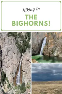
Did you enjoy reading this post? Pin it!
Like what you read here today? Please feel free to leave a comment, like or share this post! Add your email at the bottom of the page, or the sidebar to the right, to be notified when a new post is published. By signing up for the email list, you will also receive a free copy of the Tranquil Trekker’s Top 10 Tips of Trekking Do’s and Don’ts!
You can also follow the blog on social media by clicking the links below!
 Though this area is just as beautiful as the Rockies, it is FAR less crowded, which makes it so much more pleasant to visit. 😋 There are no lines of people hiking in the Bighorns like we’ve experienced in various places around Colorado. Also, oftentimes, the lower-elevation plains may be baking in 90-degree weather, while it’s in the 60s-70s, and breezy, in the mountains!
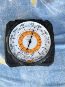 Our campsite was at about 7500 feet on this visit (oftentimes we stay much higher, closer to 9000-10,000 feet). We’ve noticed something odd at these high altitudes that we have also experienced in
 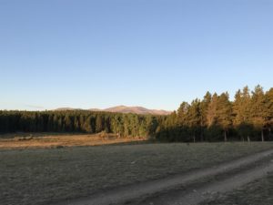 Sometimes when we head out we Disperse Camp. This is also known as “dry camping”, where you just set up your camp somewhere in the national forest, outside of an established campground. We tried this for the first time in Colorado, at both State Forest State Park and near Crested Butte. On both occasions, we did stay at an actual, numbered campsite, it was just away from any campground and we weren’t able to see our neighbors.
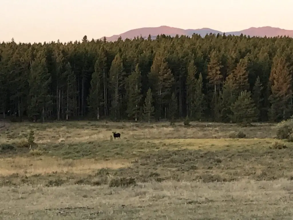
 This hike was deceptively tough. It’s only about three miles in total length, but it’s overgrown in many spots, very rocky and there are lots of downed trees. We actually lost the trail several times and had to root around to locate it again. Other parts of it are PERFECT though. They feature a flat, graded path through a moist, pine forest, that is surrounded on both sides by a green carpet of ferns, moss, and soft undergrowth. It almost felt like hiking in the cool rainforests of the Pacific Northwest. It was such an idyllic sight!