The Trekkers had a unique experience when snowshoeing one early, spring day. It was a humbling reminder that when we venture out into the Wilds, humans are NOT at the top of the food chain!
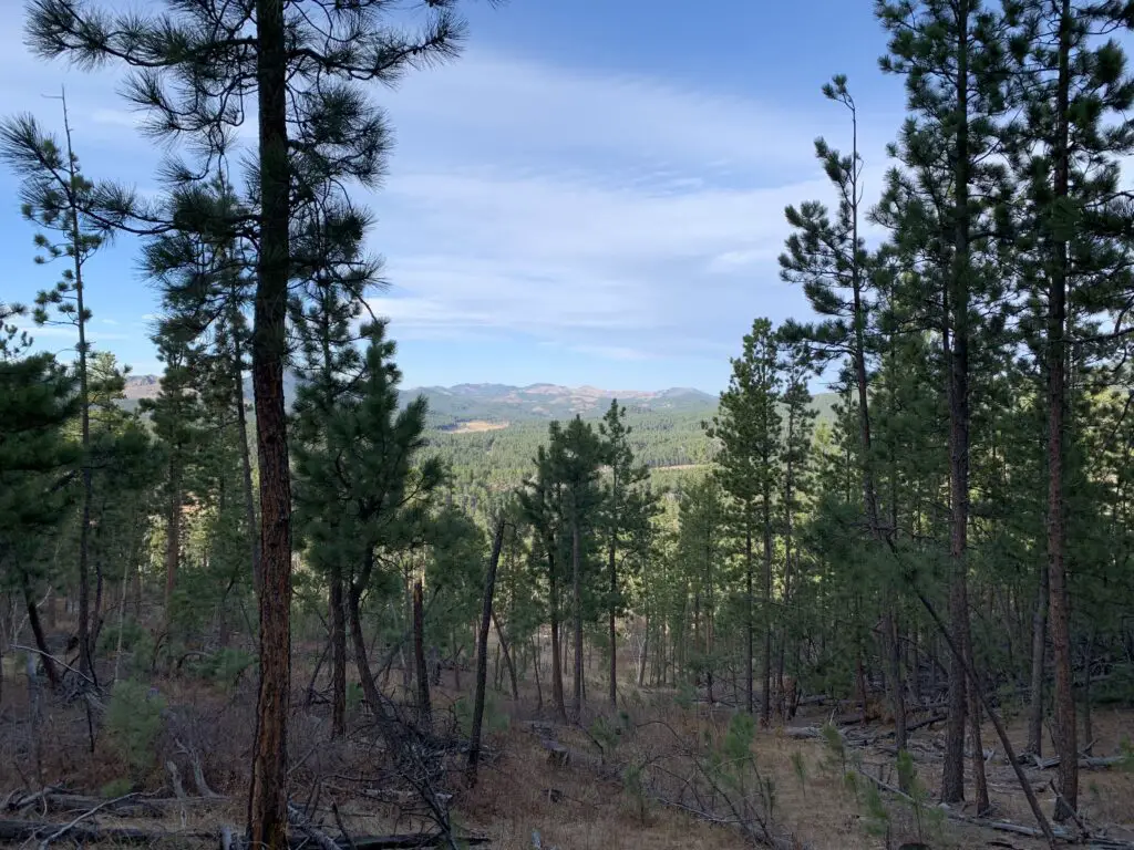
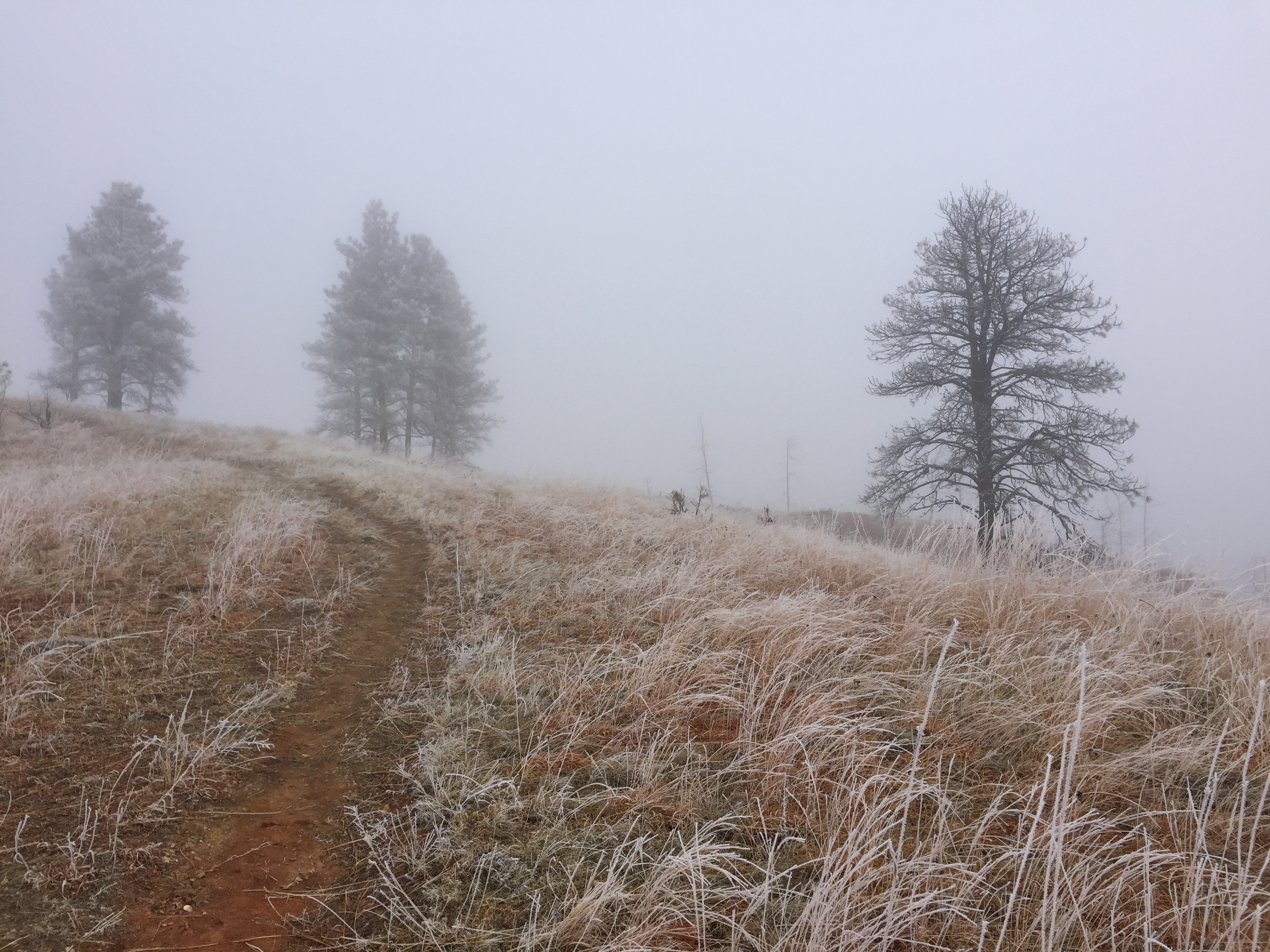
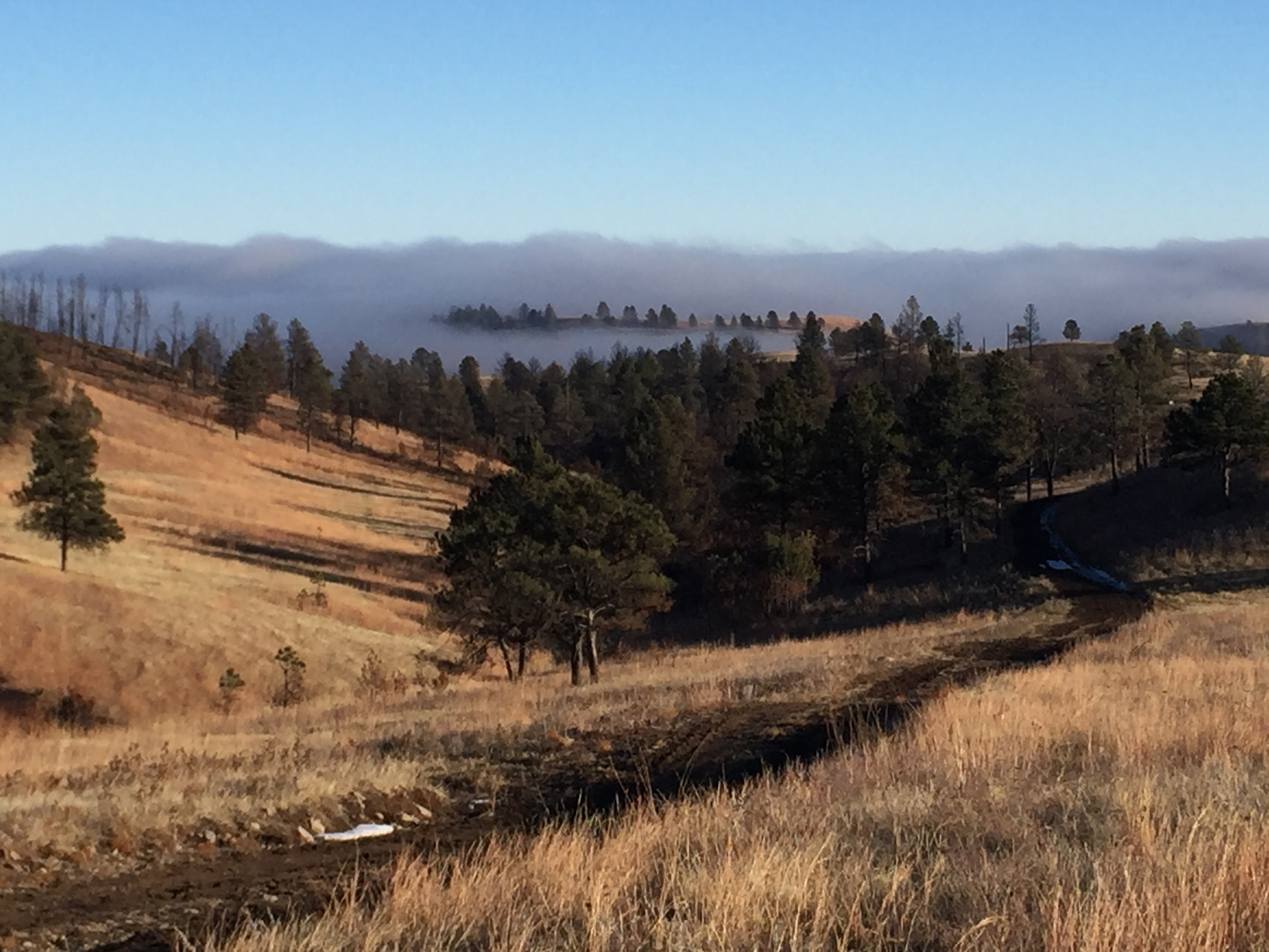
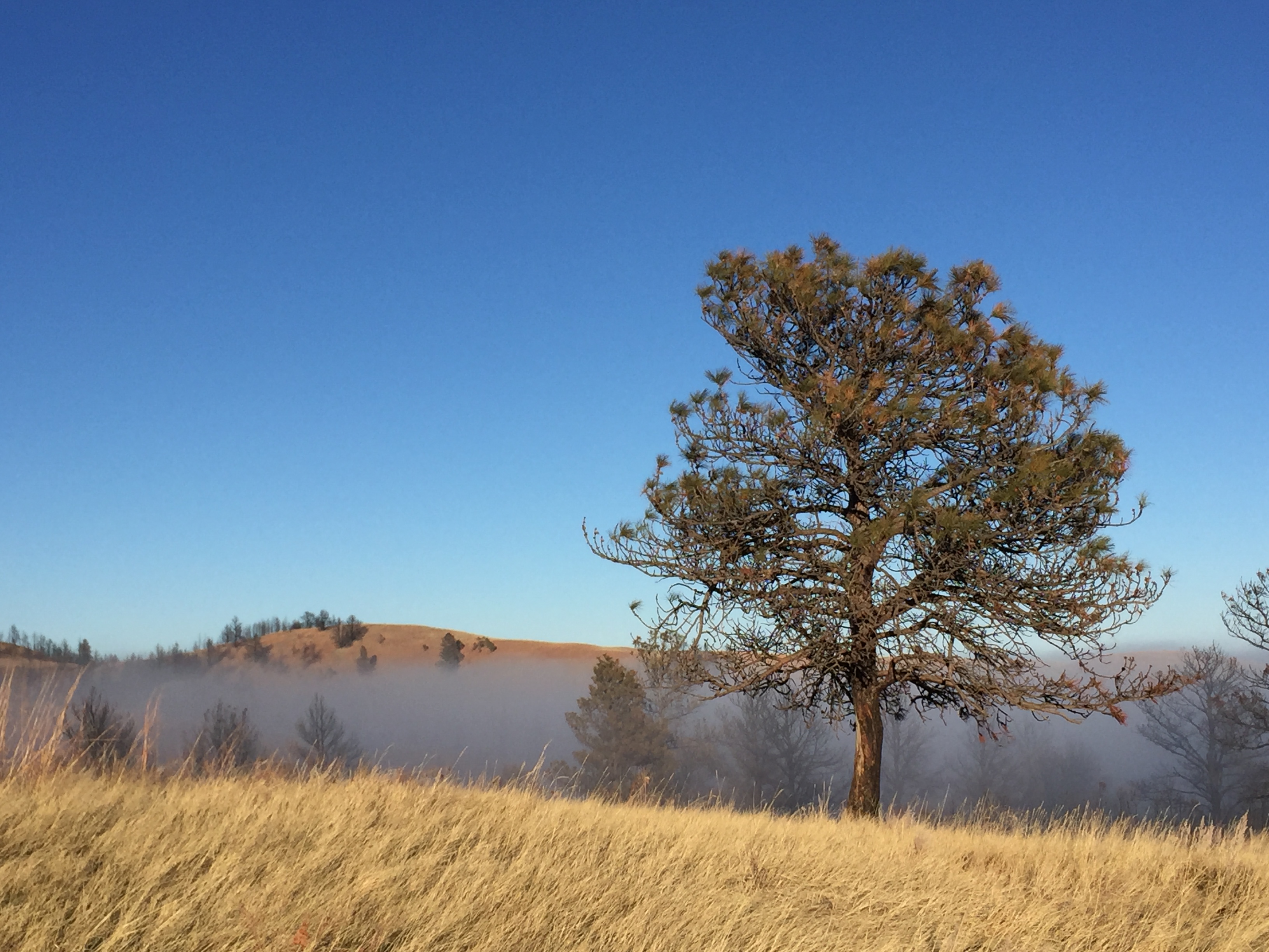
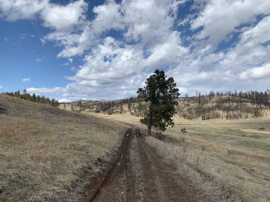
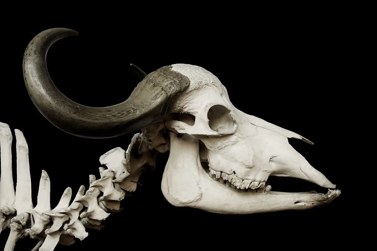
We were snowshoeing on the Deerfield Trail, just off the Mickelson Trail, in the central Black Hills of western South Dakota. We were trudging down a forest road, just tromping along. It was a lovely day! The sun was shining in a bright blue sky, the birds were tweeting, we were happily enjoying our own, peaceful, little slice of paradise. That all changed when we wandered around a bend in the road and came upon a deer…that had seen better days (or, at least, what was left of it). 😳 This was easily the most gruesome, mountain lion kill scene we’ve ever come across.
I’ll spare you the grisly details, except to say it was a bit unnerving to see blood spatters scattered along a long span of the road. It raises the hairs on the back of your neck a bit when you come upon this type of scene. Our senses were immediately heightened to the possibility that we may not be alone out there, especially as mountain lions are known to guard their kills. (We never saw or heard any sign of the predator, fortunately.)
There wasn’t much remaining of the deer other than the head and spinal column. While some birds were still snacking on the remnants, we assumed any larger predators had already had their fill and wouldn’t be returning, though we opted not to stick around to find out. 😝
We assumed it was a mountain lion kill, as there weren’t many tracks to be found in the snow. It appeared there may have been a coyote or two that had come by. We surmised this due to tracks, and because big cats usually cache their kills. However, in this case, lengthy drag marks had been left in the snow and the kill had been scattered over a wide area. We didn’t see any obvious evidence of a coyote pack so it may have been a loner. These critters have been known to scavenge and even try to steal kills from mountain lions (they are a lot braver–stupider?–than I am! 😝)
I didn’t take any pictures, for obvious reasons. I try to avoid putting anything too grisly on this blog, and it felt a bit disrespectful to the dead. In a bit of an odd contrast, there was one interesting sight–amongst the gore–you could see marks left in the snow from where the wings of flying scavengers had whisked across it as they landed. It felt odd to see something so beautiful in a scene so full of death.
Humbled by Mortality
It’s humbling to view a sight like that. This isn’t the first kill site we’ve ventured upon while traversing the Wilds, and I’m sure it won’t be our last. Though it was one of the more bloody sites we’ve encountered, I have found my anxiety surrounding these situations continues to abate with repeated exposure. We’re always careful to watch and listen for critters, and we don’t hang around these macabre scenes long.
It seems brutal, but it’s a perfectly natural act. The mountain lion gets hungry (and if it was a female, she may have either been pregnant and near birth, or may have been caring for newly born young in a den).
The predators also provide a necessary check on the local deer population. Without them, the number of deer would quickly grow out of control, to the point that the natural resources of the local area would be depleted and wouldn’t be able to sustain their large population. This eventually leads to famine and starvation within the species (and possibly that of other animals living in the local area).
So, this is, obviously, a necessary service. I am reminded of when I was a child, and my family would watch the show “Nature”, every Sunday night on the local PBS station. A favorite saying of one of the narrators was, “where there is something to eat, there will be something to eat it.” 😮
Nature Shows no Mercy
This situation offers a stark reality check and a reminder that nature isn’t kind. It isn’t always pretty and it certainly isn’t always gentle. It favors the strong at the expense of the weak. Nature isn’t “fair” and it isn’t “compassionate”, it’s all about survival of the fittest. We must remember this when we venture out into the wilderness, especially because this policy applies to us as well!
We must always respect Mother Nature when we set out to commune with Her. We can never turn our back on Her because, when we embark on a wild adventure…we become part of the food chain…and we aren’t necessarily on top! 😳
How to Protect Yourself in the Wilderness
There are various methods you can use to protect yourself when out in the wild, some are more useful than others:
Recreating alone is risky: One of the biggest and easiest things to remember is that it is very risky to recreate solo. This isn’t always a popular opinion, but I stand behind it 100%. Not everyone has human companions to adventure with (consider this motivation for locating some!) while others truly enjoy their solitude and prefer to head out alone (or just with a four-legged friend).
The bottom line is though, being out in the wilderness alone puts you at FAR greater risk of both injury and animal attack. Cell phone service is frequently spotty in these areas and all it takes is one wrong step to sustain an injury that will make it impossible for you to hike out. If you don’t have good cell service where you’re located, that leaves you with no choice but to crawl to a place you can get it. This could require hundreds of feet (at a minimum) of dragging yourself over unforgiving terrain. Your four-legged friend can’t offer much assistance in this instance either (no opposable thumbs 😝).
If you can avoid injury, it is still more likely that you could be at risk of wild animal attack when alone. Your four-legged friend will be able to assist in this matter, as you’ll both make noise to warn away any wild animals. Your furry companion can also serve as a deterrent, though don’t allow them to antagonize a wild animal. Moose, especially, hold no fear of dogs and will attack if they feel threatened.
Any time you are present in a group (of at least two or more humans), you make more noise, that’s just physics. Even if none of you speak, the sounds of your feet, or snowshoes, or skis (or paws) making their way through the environment, create quite the clamor. Humans are inadvertently loud, and we also stink of awful things like shampoo and soap. 😉 Animals know those smells and sounds aren’t “natural”, so they prefer to just avoid us if they know we’re around. Venturing out in a group can really help with this.
Firearms: I will begin this portion of today’s lesson by admitting this is a controversial subject. 😝 (Anything said below is meant to be US-centric. I can’t speak to any laws outside of the United States.)
I’ve mentioned before that I lean Libertarian, so I fully support the 2nd Amendment and the responsible use of firearms. This is a personal choice that we all must decide for ourselves.
HOWEVER–and I can’t stress this enough–“responsible use” means following ALL Federal, State, and local laws of the area where you are located (whether you agree with them or not). Always remember that laws can vary greatly between states with lenient gun regulations (like South Dakota) and those with much stricter laws (such as California or Connecticut). It is YOUR RESPONSIBILITY to educate yourself on the laws of the local area. Ignorance is NOT an excuse.
It should also be noted that according to the US Fish and Wildlife Service:
“Persons encountering grizzlies and defending themselves with firearms suffer injury about 50% of the time. During the same period, persons defending themselves with pepper spray escaped injury most of the time, and those that were injured experienced shorter duration attacks and less severe injuries.”
And on that happy note…
Bear Spray: I am a big believer in this, though again, it must be used responsibly. Bear spray is pepper spray, on steroids. People and pets can be severely injured with it, so please, treat it with the respect it deserves. Though it’s legal in most states, some have strict laws regarding its use, and again, it’s your responsibility to educate yourself on these.
The biggest thing to remember with bear spray is to ONLY SPRAY DOWNWIND! (This may seem obvious, but in an intense situation, this crucial detail could be easily forgotten.) If you spray into the wind, all you’ll succeed in doing is making yourself an incapacitated, pepper-flavored snack. 😝
It should also be noted that this is NOT a bear repellant. It should NEVER be used unless you feel an attack is likely/imminent and then only as a deterrent. Educate yourself on the use of this product BEFORE it is needed.
Another point to note, “bear spray” can be used on any animal that is posing a threat, it doesn’t have to be a bear. One thing I like about this method is that it is intended to be non-lethal. It will, likely, cause intense pain to the animal, but any damage should be temporary.
We should not be flippant about the use of bear spray; however, if it is used successfully, while the animal will be uncomfortable for a time, the experience will serve as an important and unpleasant reminder that getting too close to humans results in pain. The goal being, in the future, the animal will do all it can to completely avoid a human, to begin with. This negative reinforcement is a behavioral method for deterring the animal. (Ever burn your hand by touching a hot stove when you were a kid? Did you touch the stove again? The same principle applies here. 😝)
Mother Nature Deserves Respect
I don’t bring this situation up to scare people. I LOVE spending time in the wild (and that includes in “Big Cat” and “Grizzly Country”). It can be such a rewarding experience, I want to encourage everyone to try their hand at enjoying it. I just want people to keep in mind that when they do venture out, you are leaving behind the safety and security of our dull, civilized lives. This is a good thing! However, it is something that needs to be kept in mind and respected. Follow these guidelines and you’ll increase your likelihood of having a safe, enjoyable adventure.
Humans may not rank at the top of the food chain when we set out into the uncivilized, natural world and nature may be all about “survival of the fittest”. Fortunately, we were blessed with intelligent brains that make up for what we lack in brawn.
Have you had any hair-raising experiences with animals in the Wild? Tell me about them in the comments!
Did you enjoy this post? Pin it!

Like what you read here today? Please feel free to leave a comment, like or share this post! Add your email at the bottom of the page, or the sidebar to the right, to be notified when a new post is published. By signing up for the email list, you will also receive a free copy of the Tranquil Trekker’s Top 10 Tips of Trekking Do’s and Don’ts!
You can also follow the blog on social media by clicking the links below!