As part of a road trip out East to visit the Trekker In-Laws a few years ago, we visited the Flight 93, September 11th Memorial in Shanksville, Pennsylvania. (For anyone who isn’t aware, United Flight 93 was one of the four planes hijacked by terrorists on September 11, 2001. They believe this one was headed towards the capital when it was brought down by the INCREDIBLY brave passengers who were trying to take control back from the terrorists.)
Author’s Note: I usually try to keep this blog light and carefree. Unfortunately, there is really no way to do that with this post.
I felt like I lost my innocence in a lot of ways on September 11th, 2001. The metaphorical curtain was removed and I saw the depravity, hate, and evil capable in the human spirit. I also felt horrible feelings within myself that I didn’t even know were there. It was the first time in my life I understood how it felt to actually hate another human being, to feel like I wanted to lash out and hurt someone who was responsible for hurting others. When you see innocent people being harmed, dying in horrific ways, knowing that families are being ripped apart, forever altered, it makes you angry. You can’t understand why some people would want to hurt others like that. (As someone who has a degree in human psychology, I can understand that these feelings are perfectly normal as a reaction to such a trauma. It’s still alarming to see those feelings manifested in myself, however.)
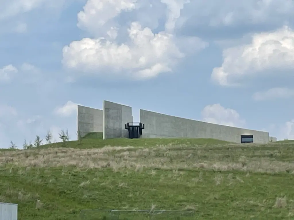
The Flight 93 Memorial Visitor’s Center
We started at the Visitor’s Center which was very well done. It highlights the events of September 11th with various video and audio recordings that actually occurred that day (news reports, recordings from air traffic control, even some of the messages people on the planes left with their families–those were particularly heartwrenching.)
It was a very emotional experience to visit this memorial, as I assumed it would be. Mr. Trekker and I realized this is the only national memorial we’ve been to that commemorates something that happened in our own lifetime. (I’ve also been to the 9/11 Pentagon Memorial which is very beautiful. We hope to visit Ground Zero at some point in the future, as well.).
I can’t imagine the thoughts and emotions that the people on the plane felt. They knew what was happening and that they were likely to die, so they were facing their own mortality on top of dealing with this attack on their homeland. I have always been awed by their bravery and their final act to try to stop the attack and take control back. I pray I am never in a situation like that.
The memorial brought back memories of that fateful day. Mr. Trekker and I were (barely) freshmen in college, we had only been there a couple of weeks. Funnily enough, that was one of the first times we remember actually spending time together. We went to chapel together with a group of friends that night…
One of the spooky parts of that day for us was our college was located only about an hour from Chicago. A lot of the kids we were in school with were from the Chicago area and they were all worried that the terrorists might be targeting the Sears Tower (now the Willis Tower).
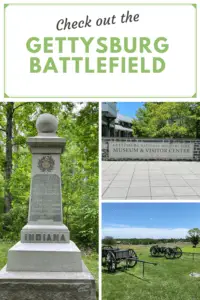
Related Posts: Hershey’s Chocolate World!; Gettysburg Battlefield
This was the first national crisis Mr. Trekker and I had ever lived through, it was definitely a defining moment for our generation. (I realize this is an indication of just how blessed life is for most of us in the US…the fact that we were almost 20 before we had to deal with a crisis like this and that for most Americans, this type of national crisis is a once or twice-in-a-lifetime experience. We are so blessed not to live in a war-torn country!)
This was our “Pearl Harbor moment”. I will never forget where I was or what I was doing that morning, what the weather was like, or how we found out “something” was wrong.
While walking through the memorial I just kept thinking, “I know our country and world are divided right now but man, I can’t contemplate one person having so much hate for another, and for seemingly innocuous reasons. How can you want to kill someone who isn’t posing a risk to you or your family, who is just existing…most if not all of the victims were completely innocent (some were children even!)
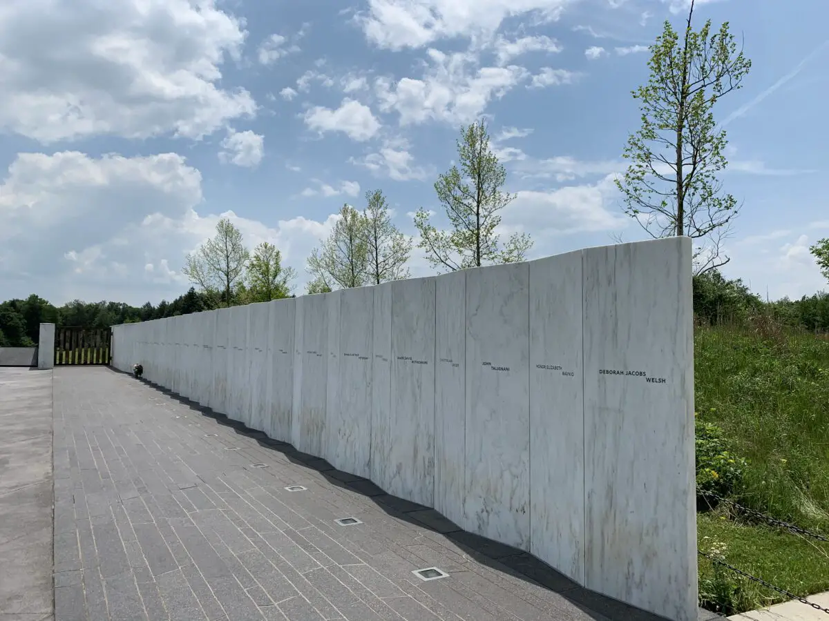
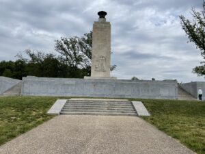
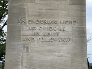
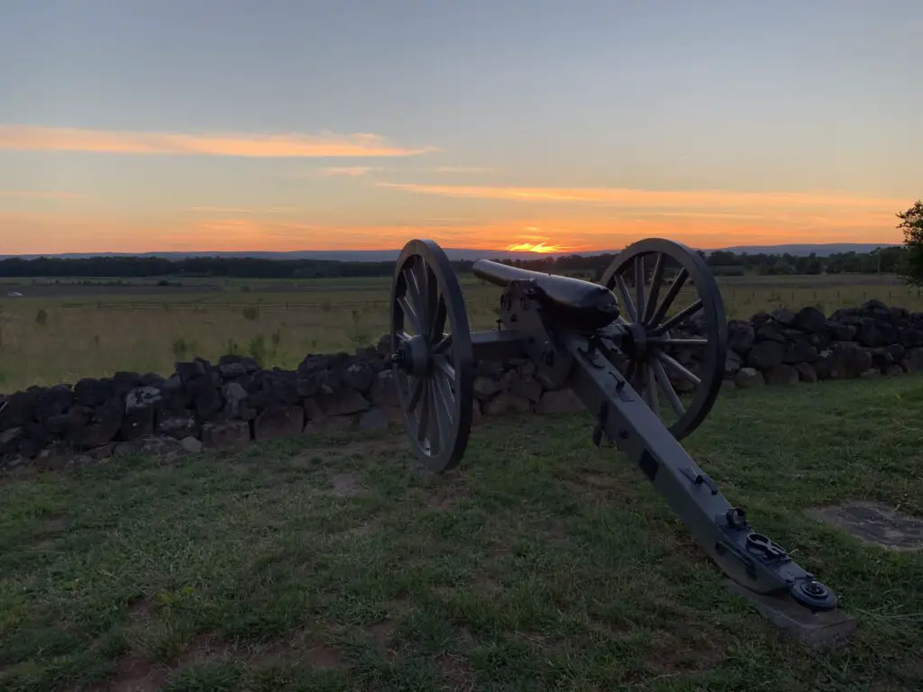
The Wall of Names
The Wall of Names is the actual, granite, memorial stone that looks much like many other memorials around the country. It also sits at the bottom of the hill, near the final flight line and boulder that marks the crash site. It features a separate stone for each innocent person killed on the flight with their names engraved in the marble.

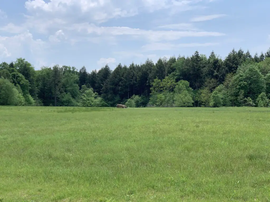
Flight 93 Flight Line and Crash Site
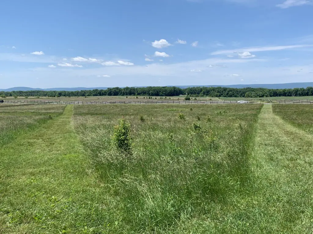
The actual crash site sits in a field below and behind the Visitor’s Center. It was once an old mine that scarred the land. Now it is a lovely green area filled with wildflowers, surrounded by trees and accentuated with birdsong. I think it is a perfect memorial to the people who died. I’m glad this former scar on the land got a new lease on life, so to speak.
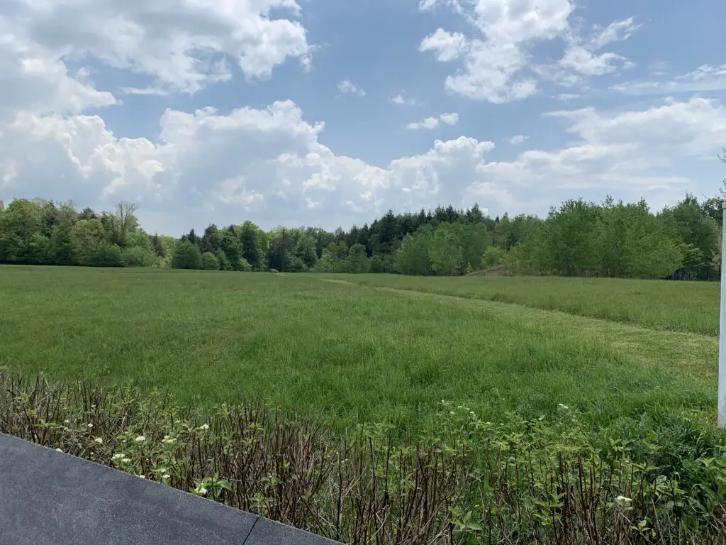
According to one of the guides we spoke with, the plane hit the ground at over 500 mph with hundreds of gallons of fuel onboard. Needless to say, the resulting explosion left very little behind. So a boulder is used to mark the plane’s final resting place…
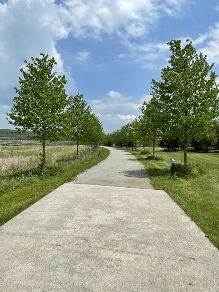
Walking Trails at the Flight 93 Memorial
There are several walking trails that ring the field that marks the plane’s final resting place. One is the Avenue of Trees that is a paved trail lined on both sides by trees. It circles one side of the field where the plane crashed and leads from Memorial Plaza, at the bottom of the hill where ceremonies are held, back to the Visitor’s Center. It leads past the 40 Memorial Groves where more than 1500 trees were planted to commemorate the people who died at this site that day.
The Western Overlook Trail is a dirt and grass path that forms the other side of the loop around the field. It runs from the Visitor’s Center down to the actual stone memorial and the crash site itself, and then on to Memorial Plaza at the bottom of the hill.
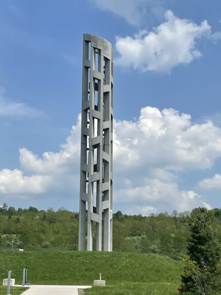
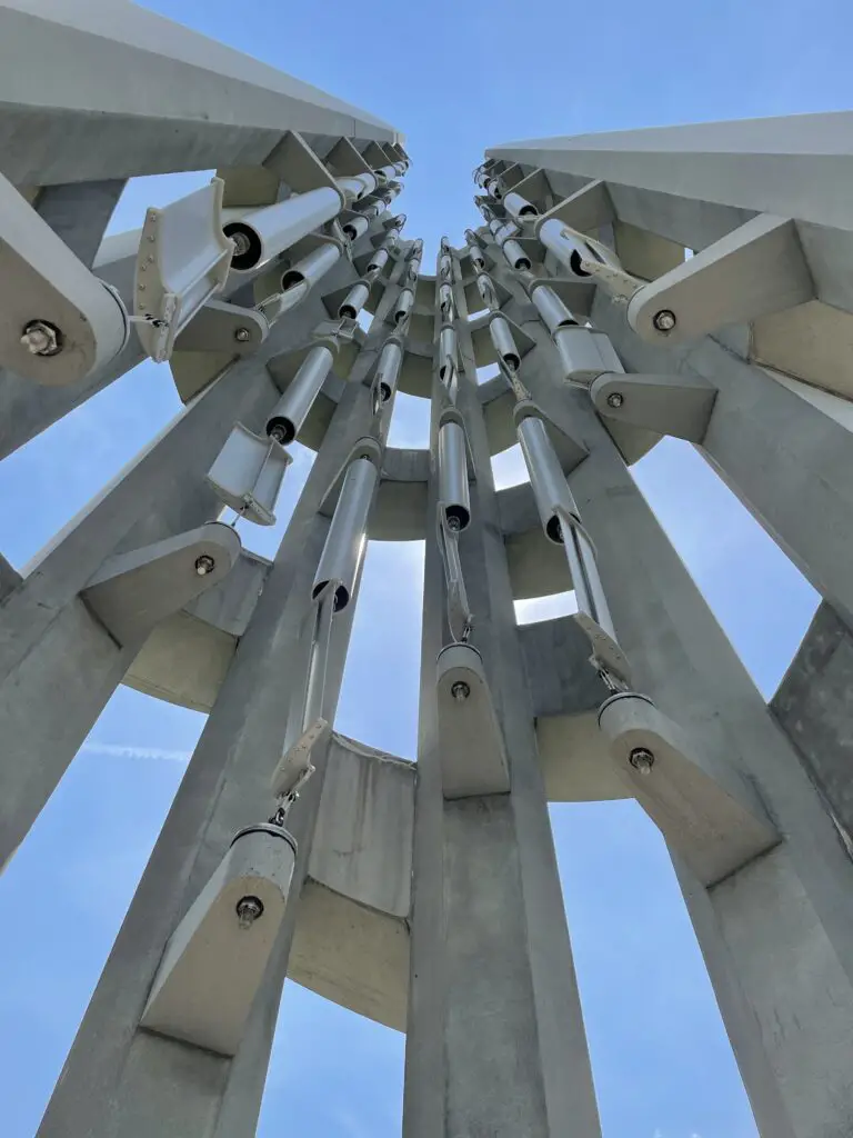
Tower of Voices
The Tower of Voices is located elsewhere on the monument’s property. It is 93 feet tall (in honor of the flight number) and it features 40 different wind chimes (one for each, innocent person killed on the fateful flight.) It needs at least a 12 mph wind to chime well. It wasn’t ringing much the day we were there but what we heard was pretty. It’s an unusual, haunting, and very subtle sound.
Click here for a video of the chimes in action. (This link takes you to the virtual tour of the site on the Memorial’s main page. Click “Enter” to start the virtual tour, then click on “Tower of Voices” at the upper right corner of the map. Then click the musical note in the upper right corner. Sorry it’s convoluted, this is the best-sounding video I could find.)
US 30 through Southern Pennsylvania
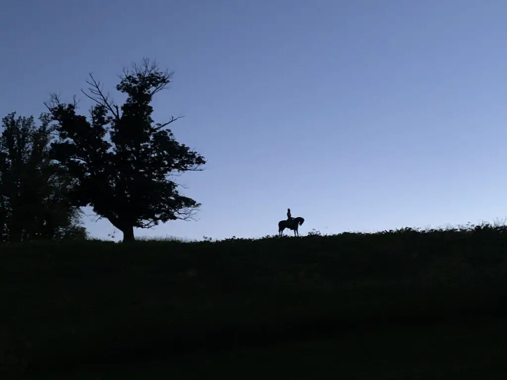
We brought the scenic, US 30 back from the memorial. This road holds a special place in my heart as it was the same route we drove to college (from home, in Indiana) and I took a portion of it from home to North Carolina when we lived there. It’s funny how certain objects (like roads) can sometimes play a role in our lives. As another example, US 6 ran right near where I grew up. It also ran right through Mr. Trekker’s hometown, even though we grew up almost 800 miles apart. We were connected long before we even knew it! 😀
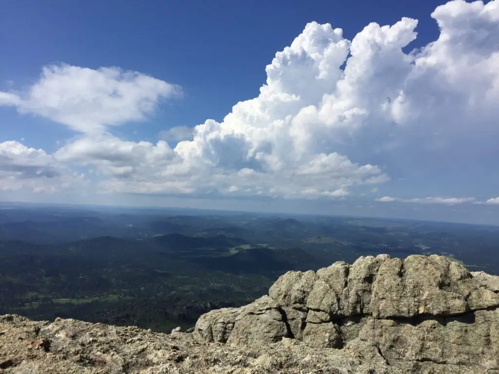
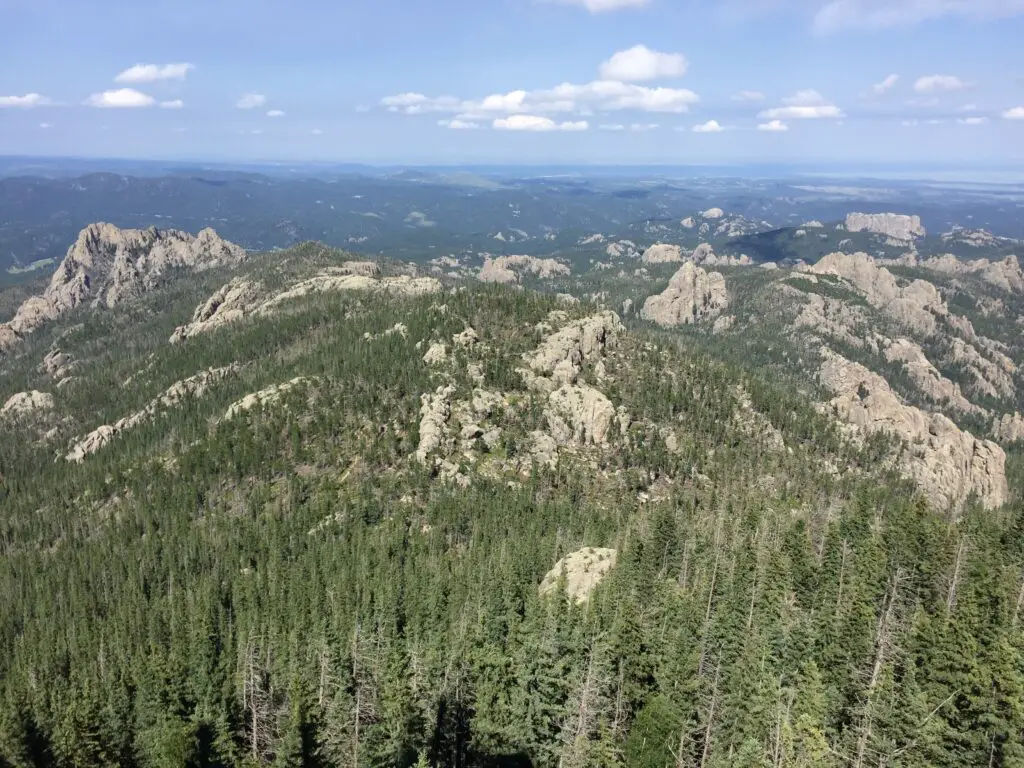
This is a VERY pretty, country drive. The route curves through forests and over and around hills–I use this term instead of mountains–technically we were in the Appalachian and Allegheny Mountains. HOWEVER, they are thousands of feet shorter than the Black Hills in South Dakota, so I also call these uplifts hills. 😀 (Even though they are almost twice as tall, the Black “Hills” may be called that because they are thousands of feet shorter than their big brothers to the south and west in Colorado, Wyoming, and Montana. 😀)
**Final snarky note (I felt bad putting this further up) 😇 :
People wonder why I don’t like to fly (I’m probably one of the only ‘travel bloggers’ who hates to fly! 😂) I don’t like dealing with airport security (which admittedly has gotten worse since 9/11). I don’t like packing for it, I don’t like having to take my shoes off; I don’t like that flying in a plane is essentially just public transportation where they pack you into a tube, like sardines.
I don’t like that my flight in Michigan can get delayed for HOURS because it’s raining in California and I’m flying to Florida. 🙄 I’m also terrified of the prospect of crashing to my death from 30,000 feet in a fiery tube (and that’s just from good, old-fashioned, mechanical failure, that’s before the idea of terrorists comes into play.) 🙄 All of this is why the Trekkers’ road trip! 😂
I really enjoyed our visit to the Flight 93 Memorial. It is situated in a beautiful setting in the country. It’s peaceful and tranquil, with the tweeting of birds surrounding you. I couldn’t help thinking this would have made me mad if I had been there when the crash happened. How dare the birds tweet happily on this horrible day! 😝 It is a wonderful, final resting place for the people who died on that fateful day, however.
I want to end this patriotic post with my favorite song that came out after 9/11. I still get chills whenever I hear it…Courtesy of the Red White and Blue, by Toby Keith…
Have you been to the Flight 93 Memorial? What was your experience like? Tell me about it in the comments!
Did you enjoy this post? Pin it!

Like what you read here today? Please feel free to leave a comment, like or share this post! Add your email at the bottom of the page, or the sidebar to the right, to be notified when a new post is published. By signing up for the email list, you will also receive a free copy of the Tranquil Trekker’s Top 10 Tips of Trekking Do’s and Don’ts!
You can also follow the blog on social media by clicking the links below!
 lit and is worth seeing both during the day and in the dark. In daylight, you can appreciate the memorial while at night the beauty of the flame is most prominent. The whole scene felt very solemn and majestic as you see it flickering across the darkening field.
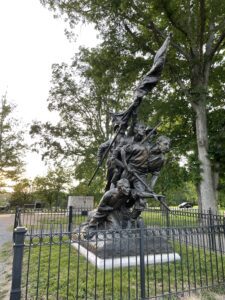 North Carolina Memorial: My in-laws took us to a cool memorial that fit two places that have connections for us. The memorial was for the North Carolina soldiers who fought in the battle (we used to live there) but it was sculpted by Guzman Borglum, who also sculpted Mount Rushmore (which is in the Black Hills, where we live now!) It was cool to see that unique connection!


 This is found just past the turnoff for Sylvan Lake. (C
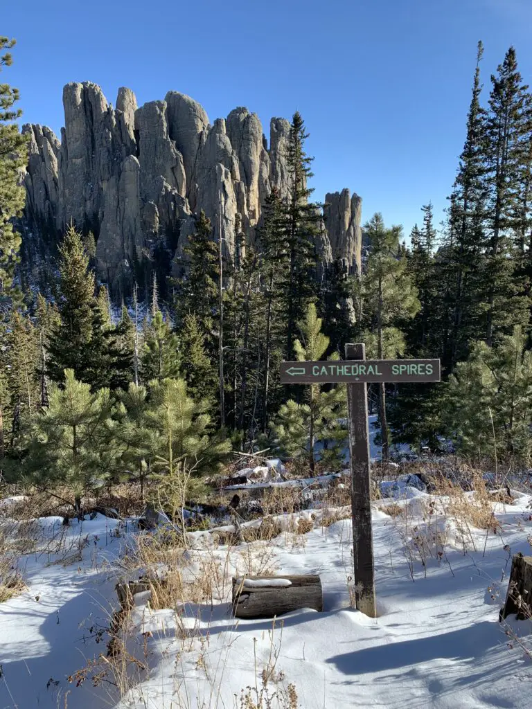

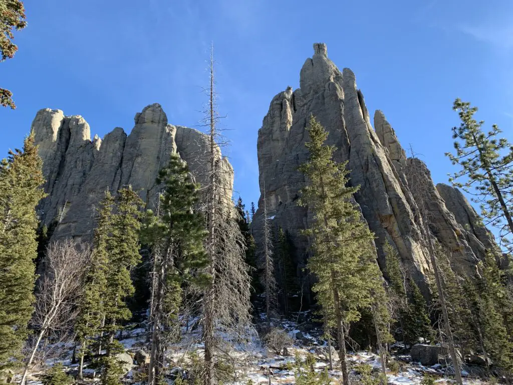
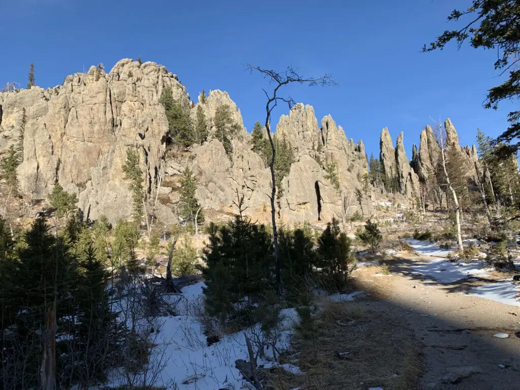 Needles Highway