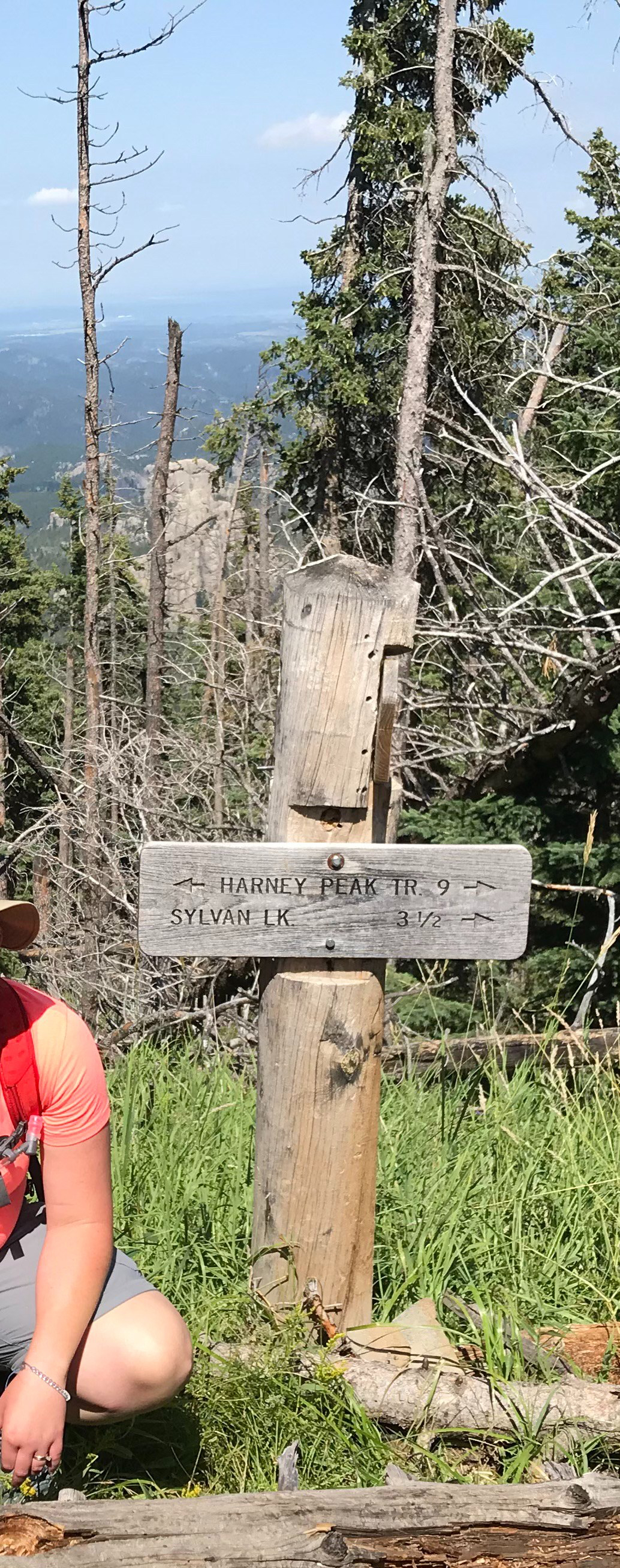
Located along the crest and walls of Spearfish Canyon, in the northern Black Hills of South Dakota, is Rimrock Trail–Trail #79. (This route also now offers access to the recently organized Tinton Trail that traverses this area, as well.)
Where is Rimrock Trail?
You can access the route via several different trailheads. The easiest is to use Forest Road 222 from the tiny hamlet of Savoy, at the junction of Spearfish and Little Spearfish Canyons.
From the Spearfish Canyon Byway turn at the Spearfish Canyon Lodge. Once you drive past the final pullout for Roughlock Falls, start looking for parking areas–there are several. (If you reach the T-intersection with Tinton Road you’ve gone too far.)
The parking areas are near the Rod & Gun and Timon Campgrounds, on the right-hand side of the road. Be watchful as they are VERY small–they only fit about two vehicles each. Also, some of the trailhead signs are recessed into the woods a bit, so they’re easy to miss.
There is easy, trail access from the Rod & Gun and Timon Campgrounds, as well, though there are technically no “official” trailheads here. If you want to avoid the crowds near Savoy, you can also take Tinton Road north from US 85 as it heads west out of Lead (towards Wyoming) and turn right onto Roughlock Falls Road, heading towards the falls (in this case the trailheads will be on your left before you reach the falls).
There is another access point to this route from a spur trail that begins at the Old Baldy trailhead and parking area, which is found further along Tinton Road. From here you will actually approach the canyon from the top. This portion of the trail is relatively flat.
What is the Rimrock Trail like?
The trail is comprised of two loops, the Upper Loop is 4.7 miles long and the Lower Loop is 3.2 miles. We enjoyed both, and doing so means you’ll experience around a 700-foot total elevation change (the trail is fairly flat, the entire elevation change is mostly contained within an area of 1/2 mile or so, twice, throughout the hike–once descending and once ascending the canyon wall).
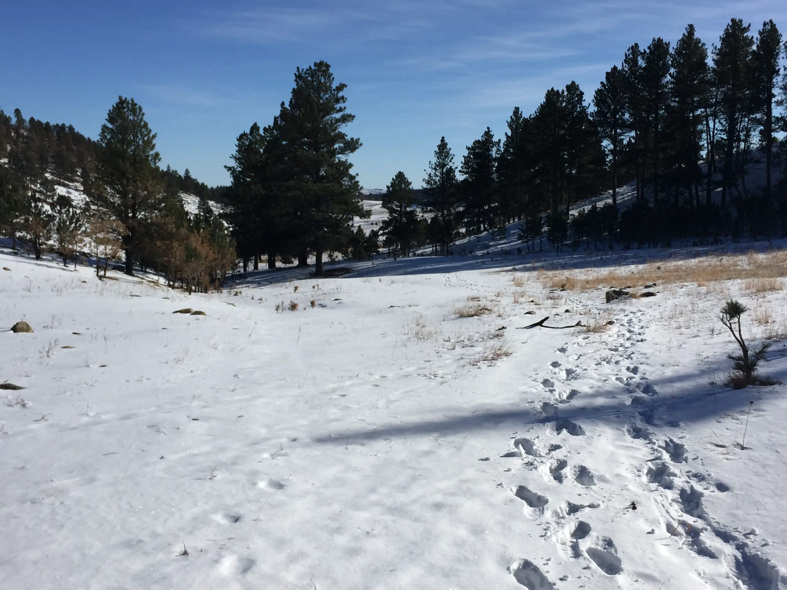
This area is open for hiking, snowshoeing, horseback riding, and mountain biking. The trails can be enjoyed year-round with proper equipment, though be aware, Route 222 is closed in the winter to all vehicles other than snowmobiles.
Tinton Road is not usually maintained in this area during the winter either, so, its accessibility varies depending on current conditions. In addition to the weather, these include the vehicle you’re driving, the recovery gear you’ve got at your disposal, and your experience level with 4×4 driving. We’ve traversed it successfully, but we’ve also gotten stuck, to the point where we would have had to be rescued had we not had proper recovery gear with us.
What you will see on the Rimrock Trail
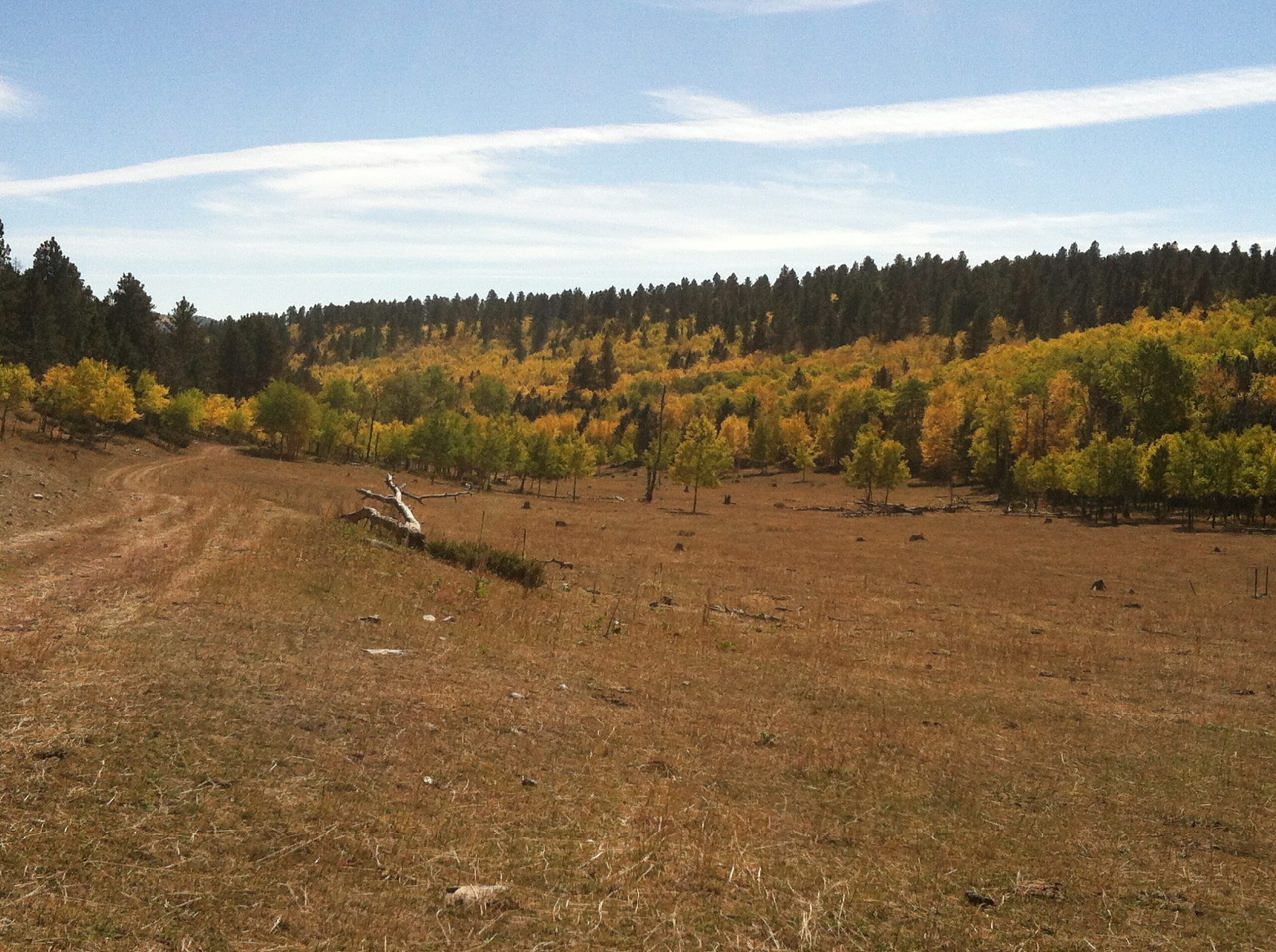
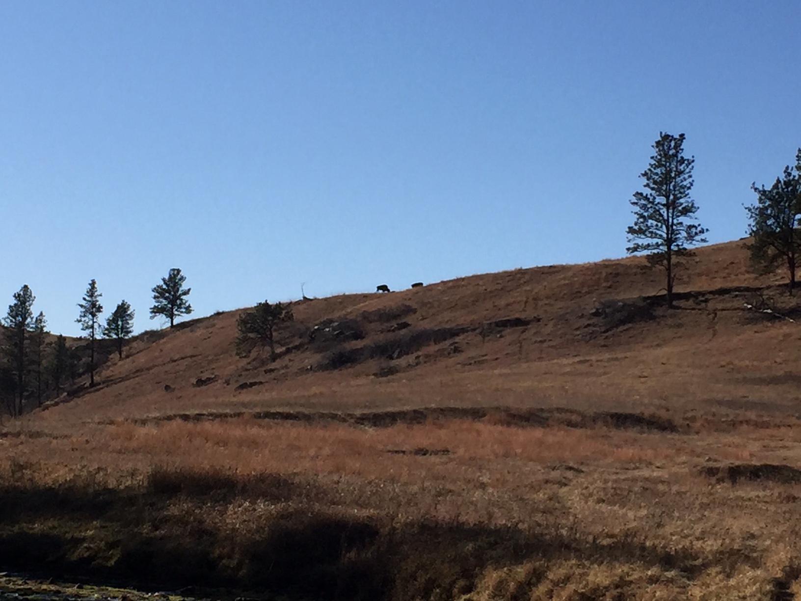
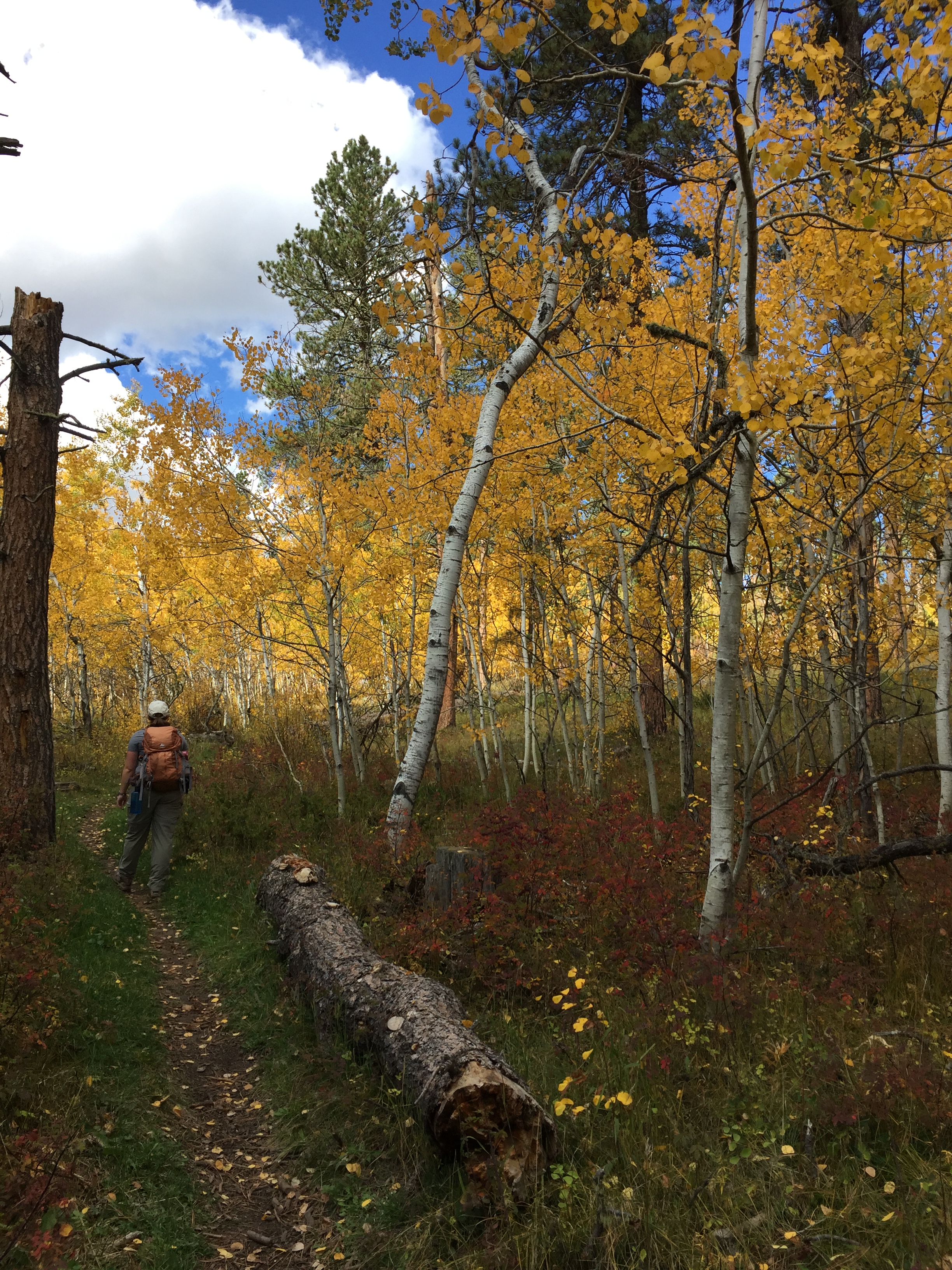
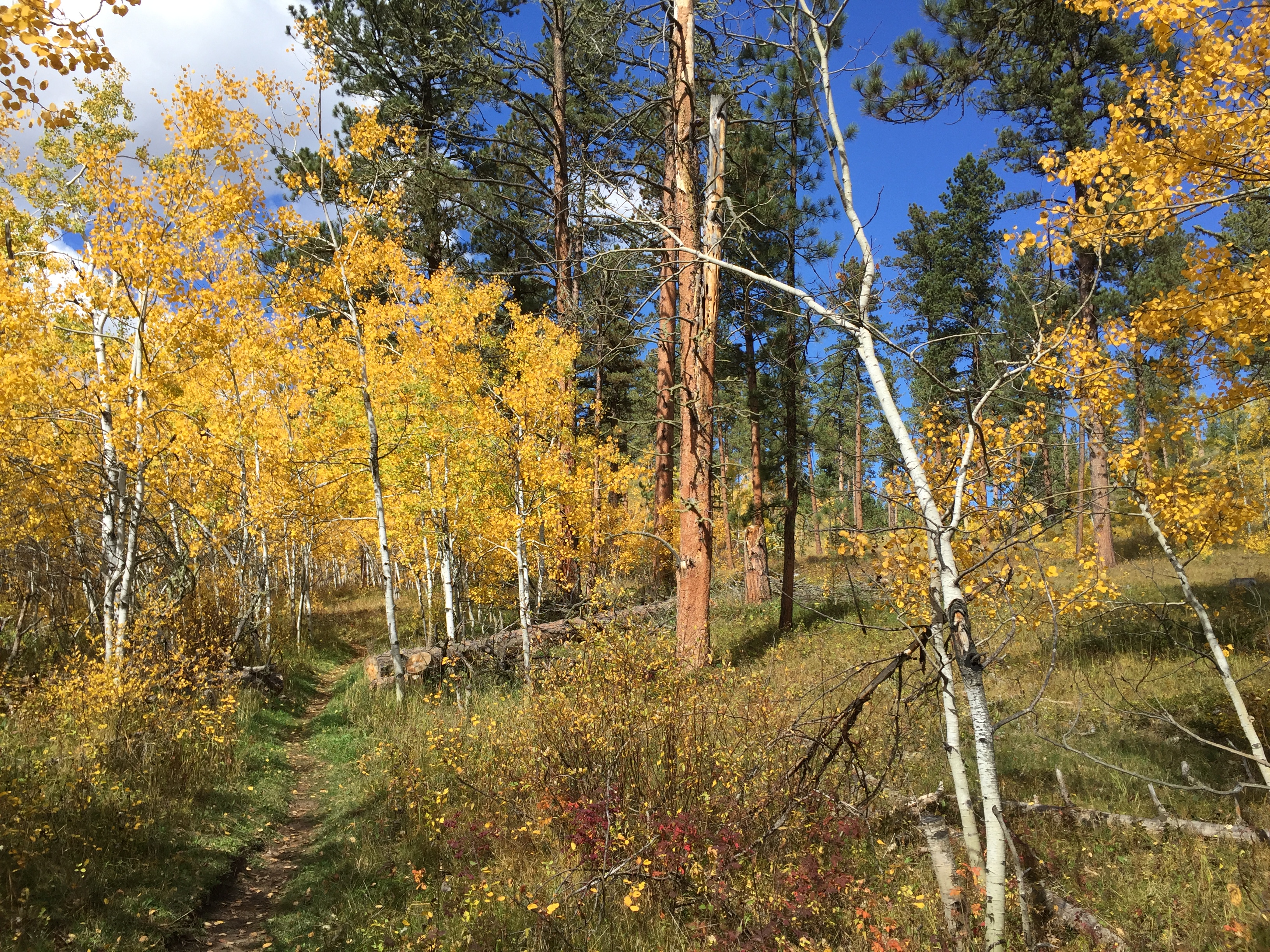
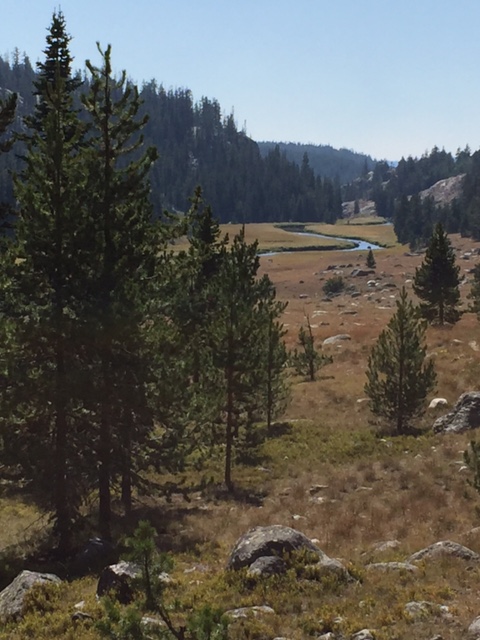
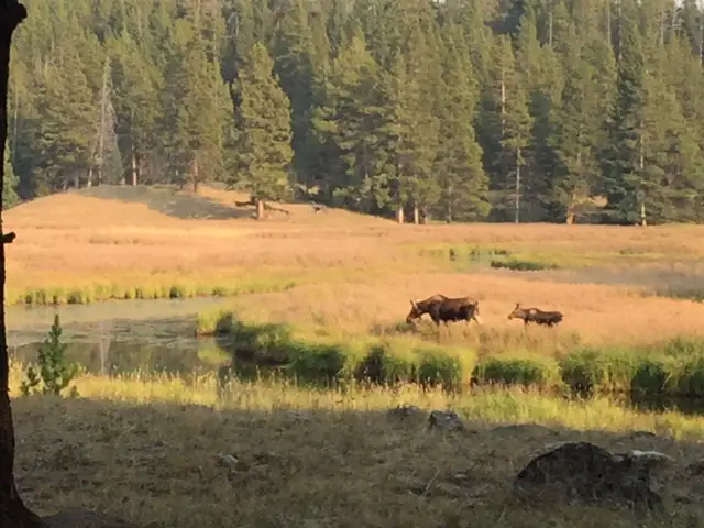
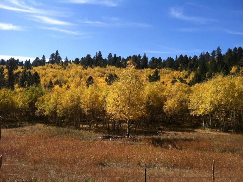
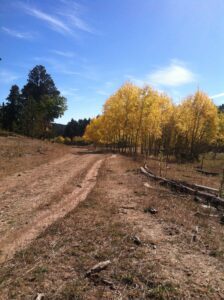
The trail offers GORGEOUS aspen groves that are especially lovely in Fall (take note, this area is one of the higher elevations in the Hills and trees usually change earlier here.) The trek also features canyons and open meadows that are perfect for a stop for lunch.
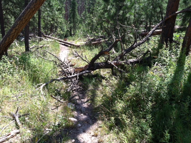
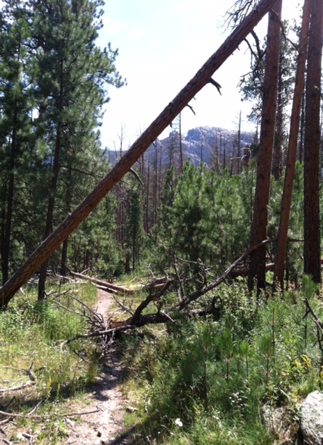
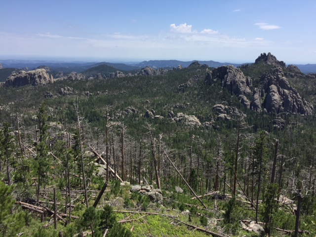
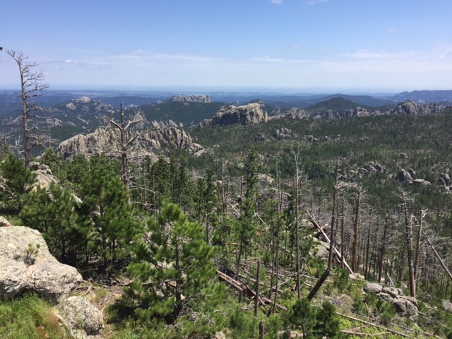
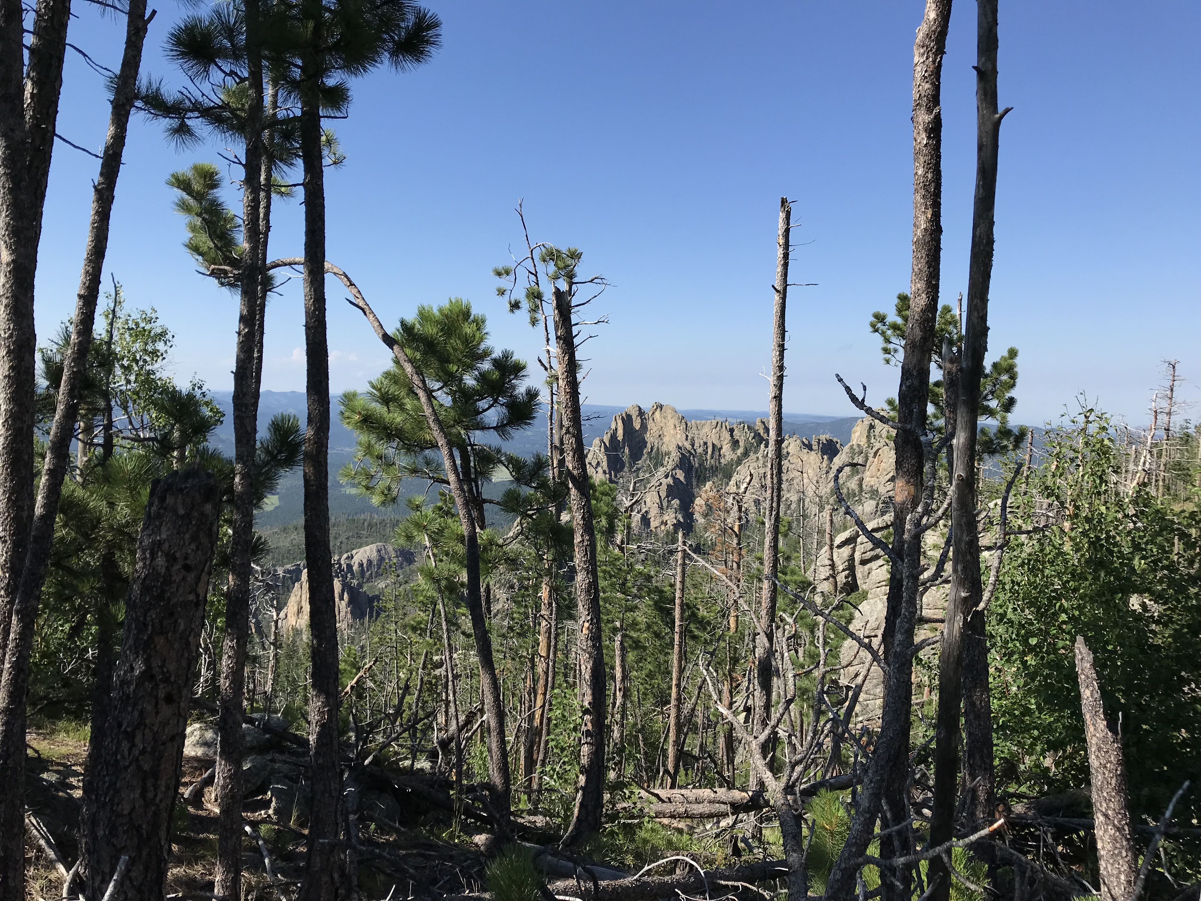
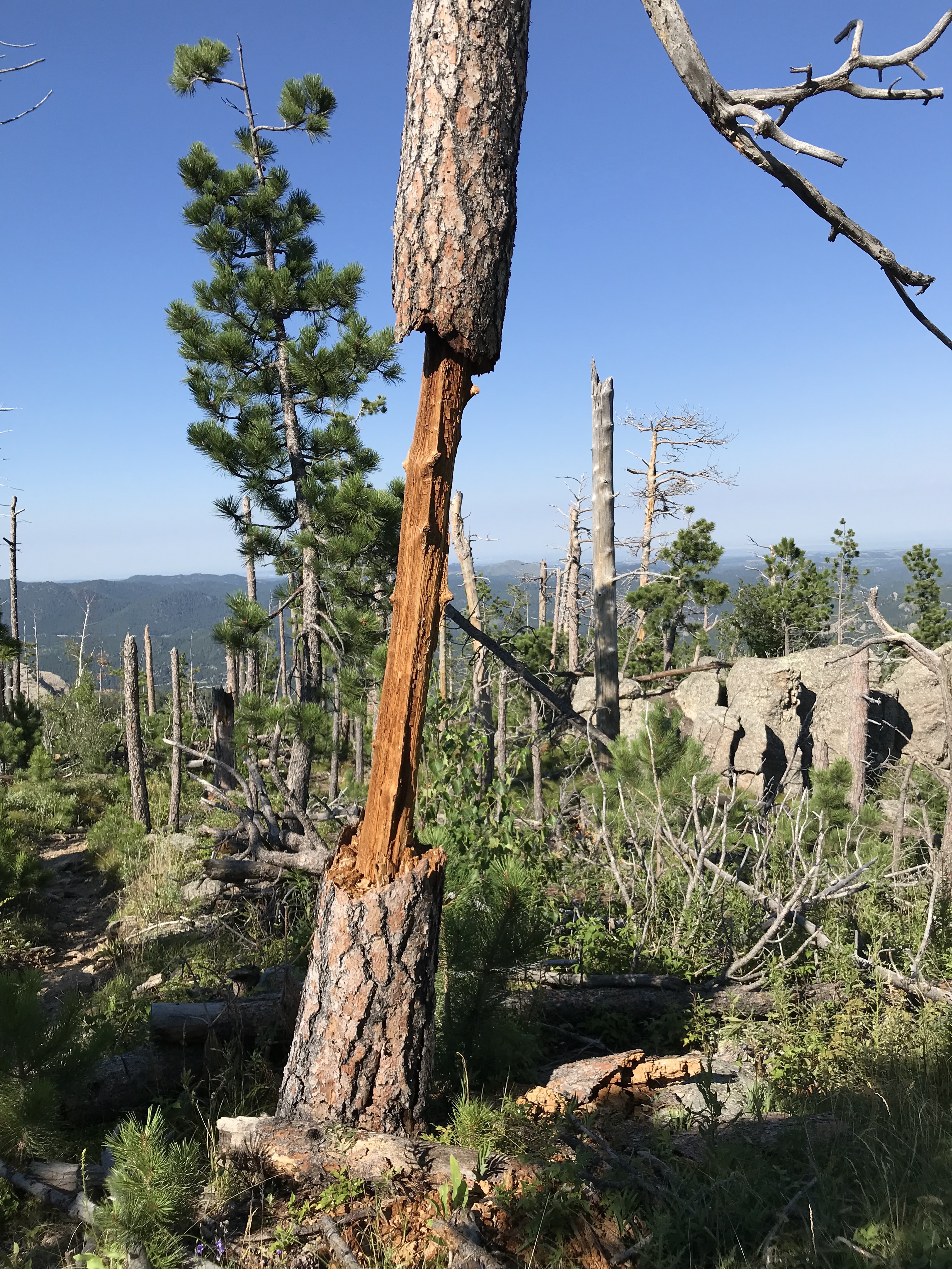
This area used to be fairly well-shaded. Unfortunately, it has been hit by multiple tornadoes in recent years so now there are several bare spots where the trees once stood. 😕
We started from the eastern, Lower Loop, trailhead (the first one you come to when traveling from Savoy.) Beginning the hike from here, the climb isn’t as steep, whereas if you start from the western trailhead the trek gets VERY steep almost immediately. Due to the grade of that climb, that area would be very difficult and potentially risky if it was muddy.
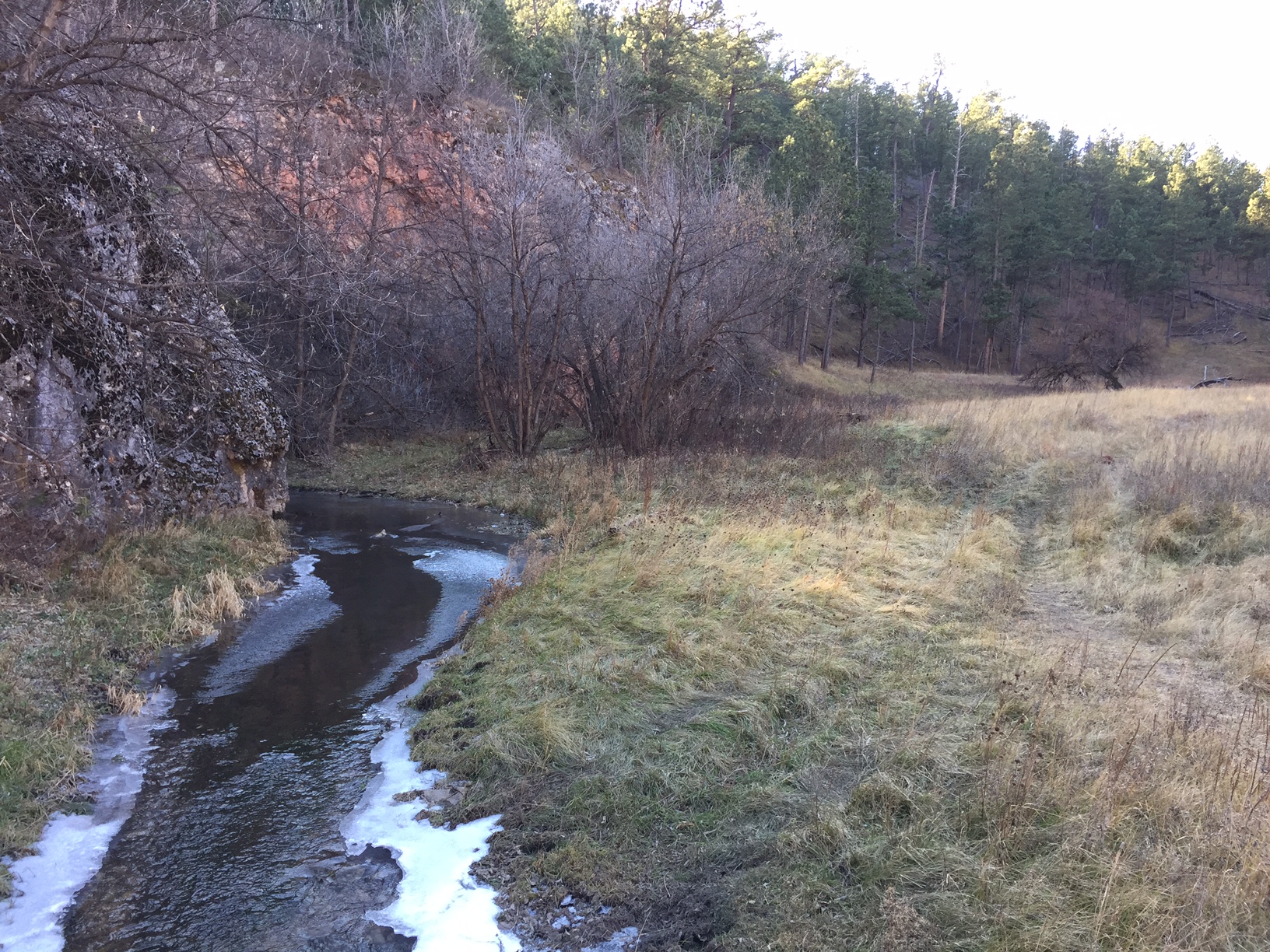
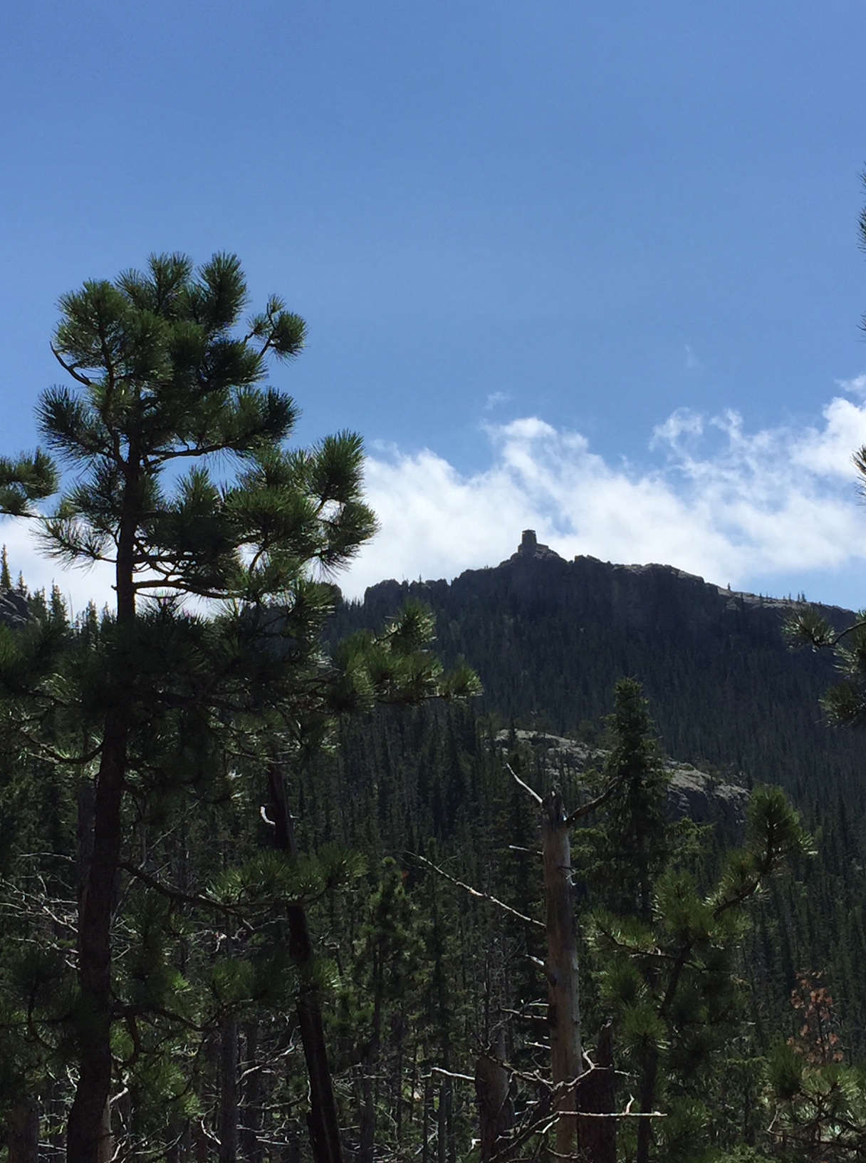
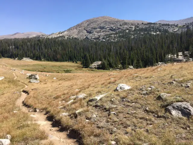
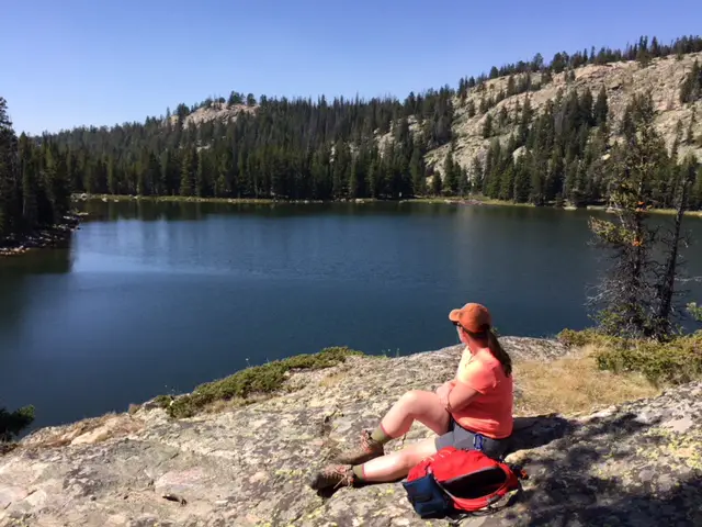
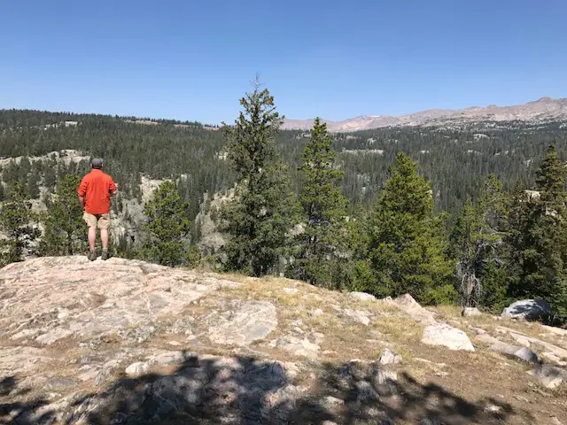
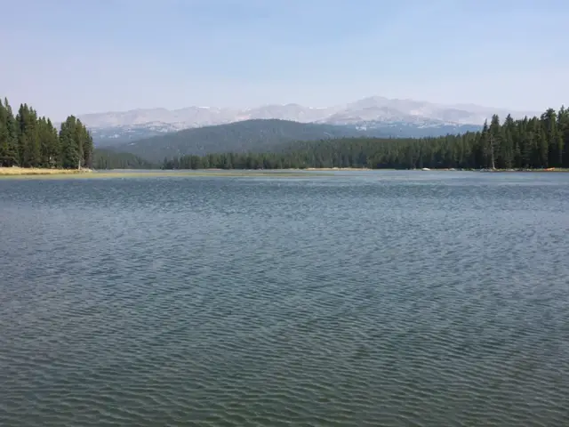
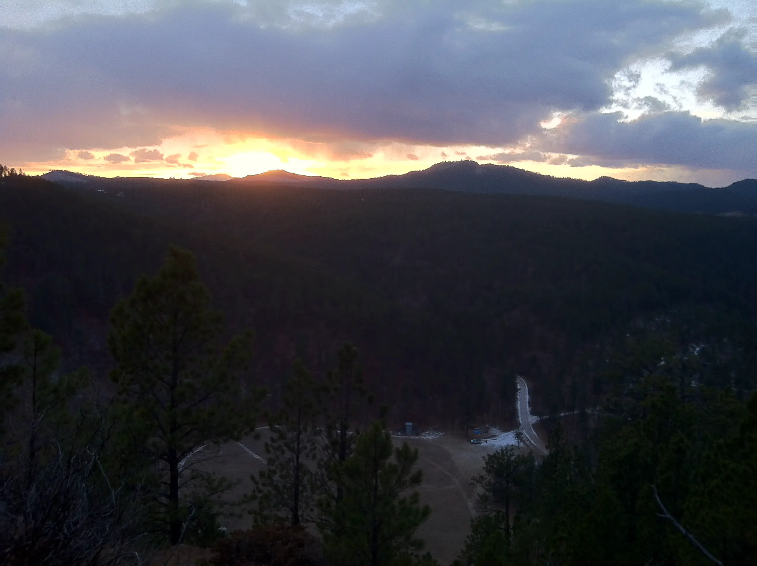
From where we began, it was amazing how quickly the ecosystems changed from a cool, damp, almost rainforest-type environment to the dryer, warmer, ponderosa pine forest and meadows common to the rest of western South Dakota. The trail also offers expansive views of the canyon and surrounding countryside once you reach the crest.
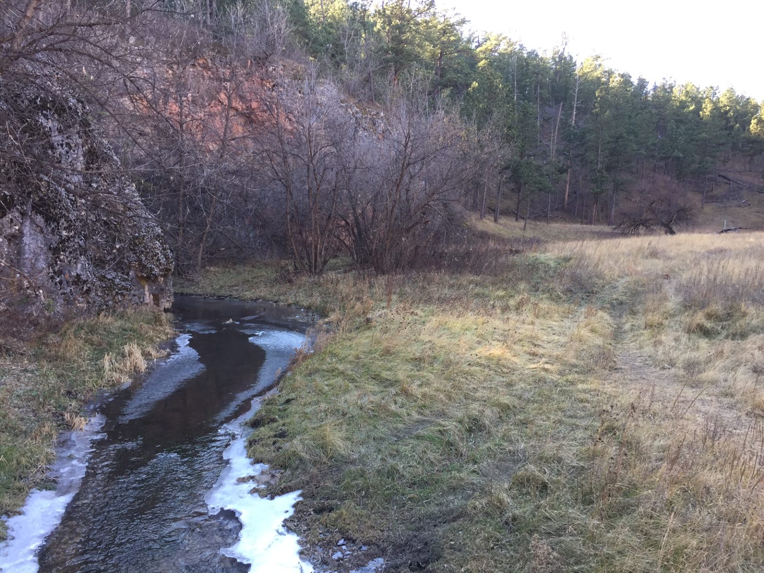
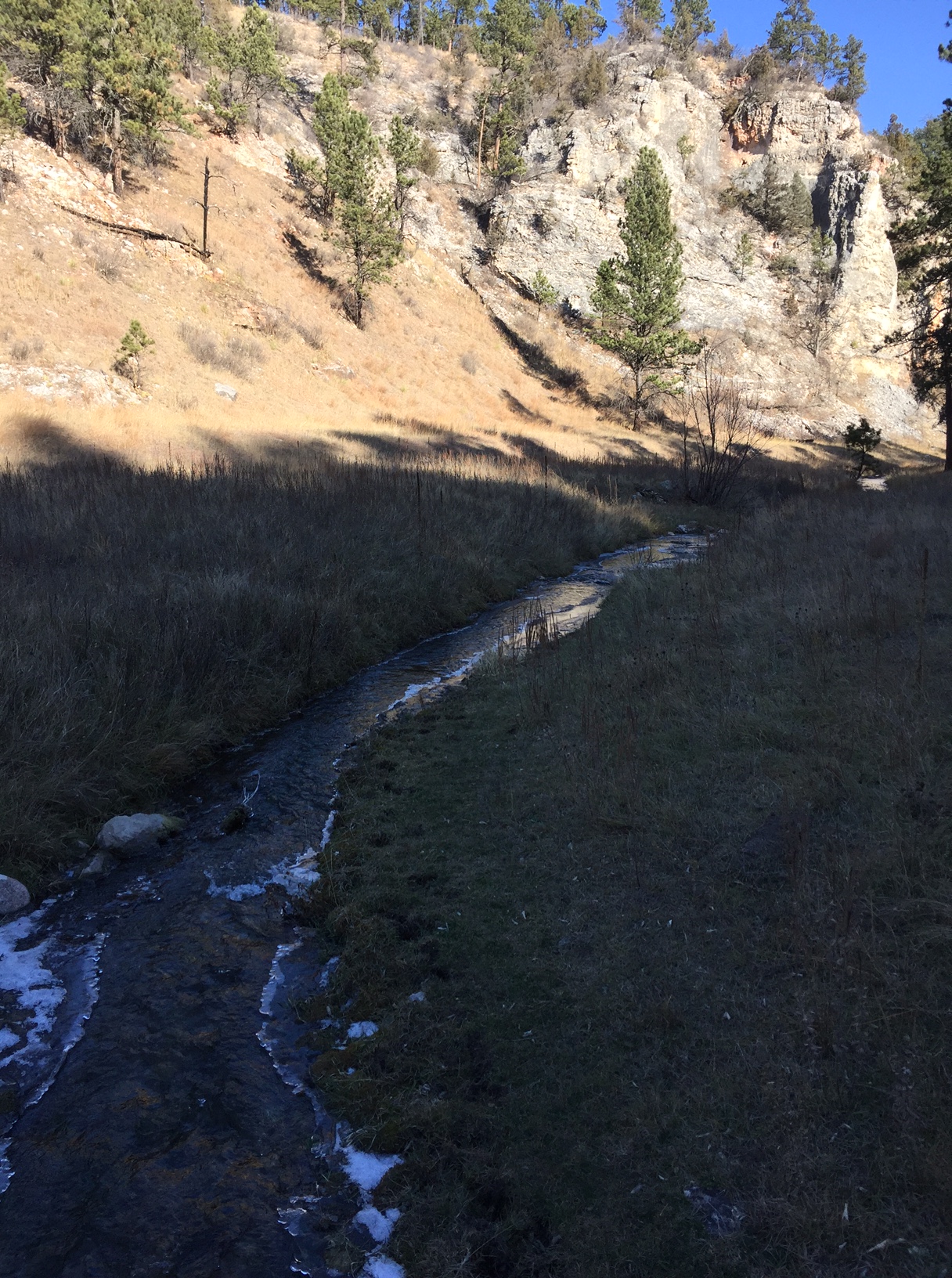
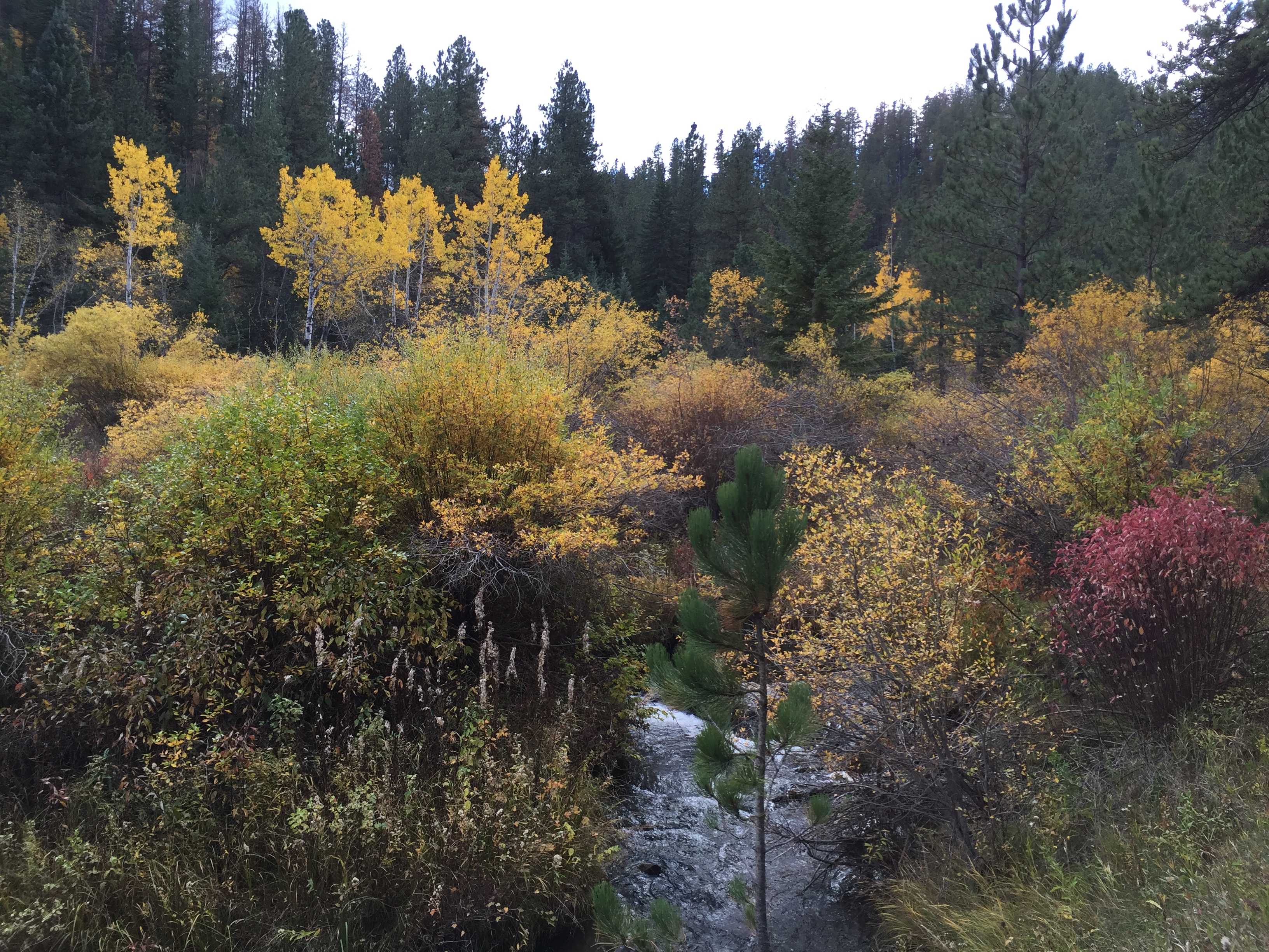
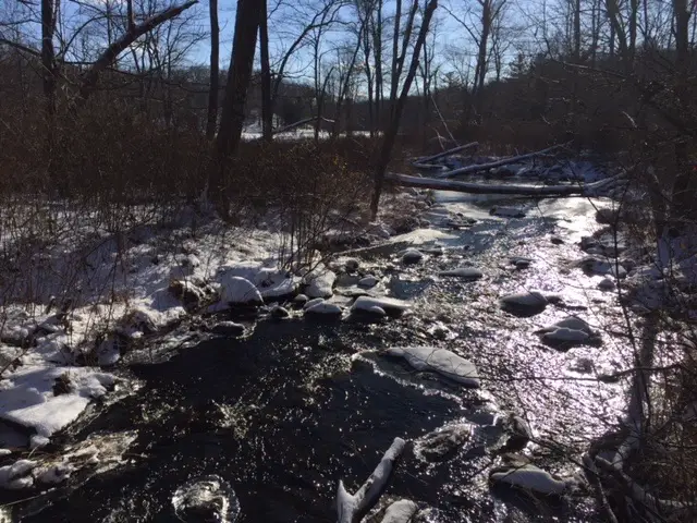
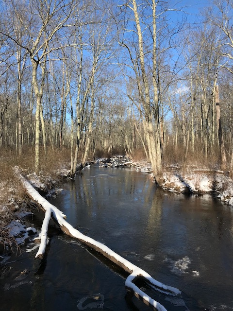
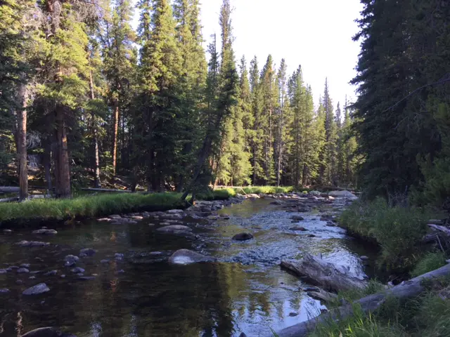
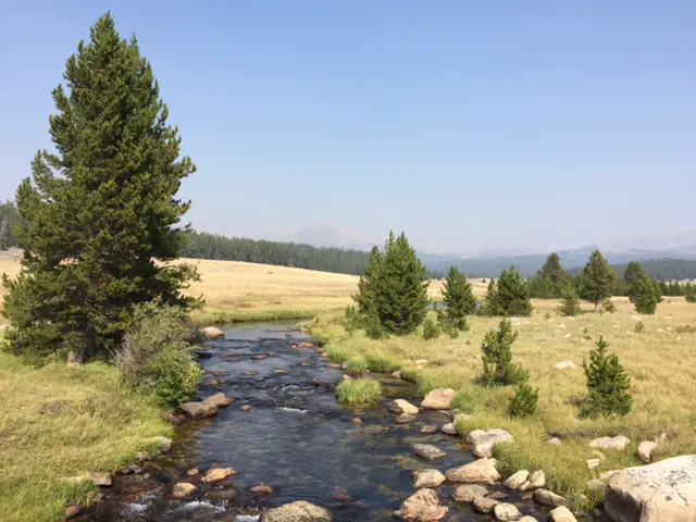
Going this direction, the final stretch of the route is easy and almost flat (which is nice when your energy is running low) as it traverses the floor of the canyon. The babbling Little Spearfish Creek accompanies you the entire way. Feel free to stop for a spell and soak your tired feet in the cool water, or watch minnows dart in and out of the sun-dappled shallows.
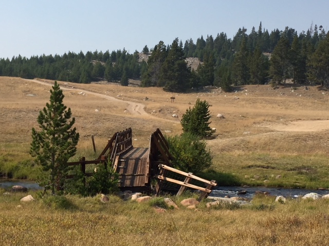
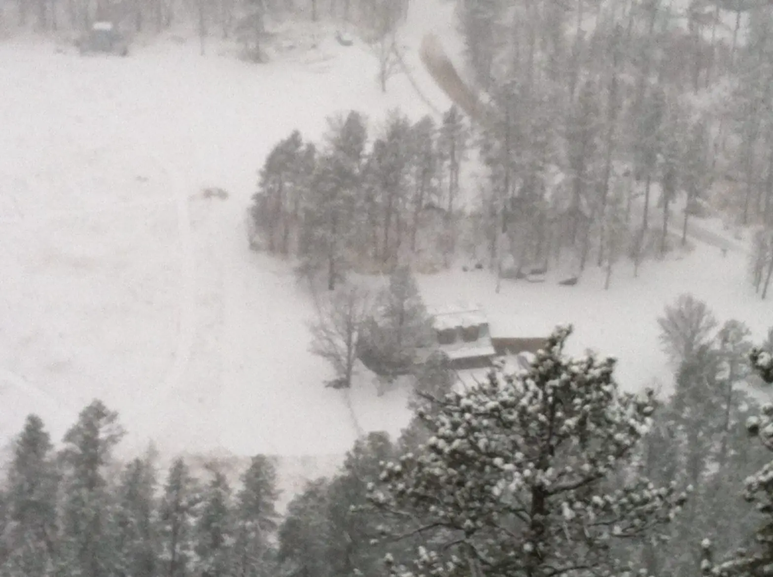
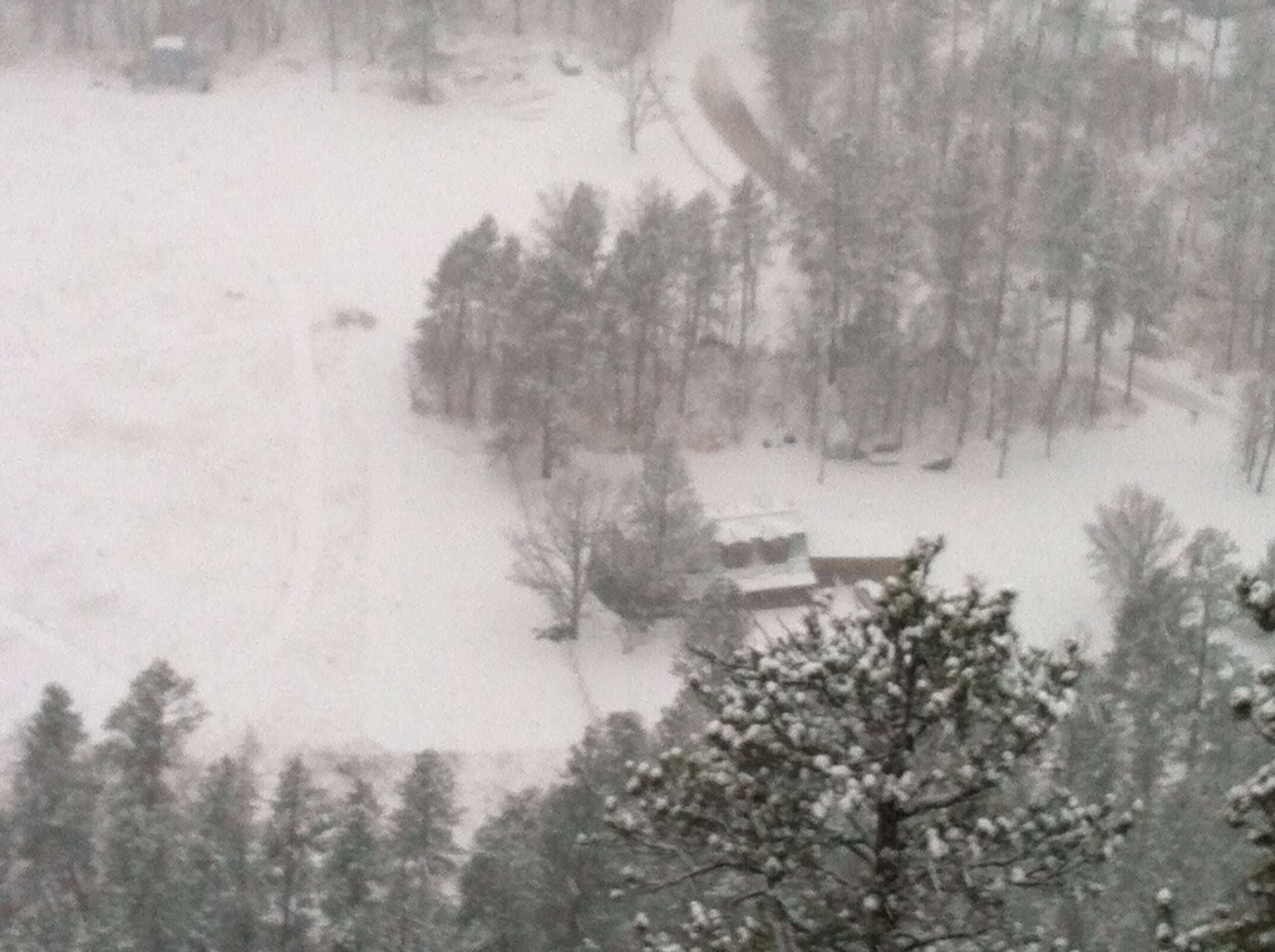
You’ll pass a filming site from the movie Dances with Wolves (from the final scene in the film). The origin of the 1997 White House Christmas Tree and the remains of an abandoned ranger station/homestead can be seen in this area, as well.

This really is a great trail! It’s one of the better options to experience the various ecosystems western South Dakota has to offer and it’s also very pretty. The canyon portions remind me of those I’ve mentioned previously on the Deerfield Trail.
In the fall, you can enjoy some of the best leaf viewing the Black Hills has to offer without having to negotiate all the traffic and visitors to the main portion of Spearfish Canyon. During the autumn months, the yellow of the aspen contrasted with the dark ever-green of the pine trees; the brown bark of fallen logs; the incredible South Dakota blue sky, and the white puffy clouds (with red creekside plants speckled throughout the canyon areas) truly creates an iconic scene.
I would rate the entirety of the trail as moderate (though several of the flatter portions are actually easy). The climb up and down the canyon wall is relatively short but it’s steep enough for a strenuous rating, especially in less-than-superb conditions. Because the trail can be divided into shorter sections, it is appropriate for smaller children, though they may need some assistance negotiating the steeper portions.
If you’re seeking a less well-known hike in the Hills, check out Rimrock Trail!
Have you ever hiked in this area? What did you think? Tell me about your experience in the comments!
Did you enjoy reading this post? Pin it!
Like what you read here today? Please feel free to leave a comment, like or share this post! Add your email at the bottom of the page, or the sidebar to the right, to be notified when a new post is published. By signing up for the email list, you will also receive a free copy of the Tranquil Trekker’s Top 10 Tips of Trekking Do’s and Don’ts!
You can also follow the blog on social media by clicking the links below!


 For beginners, I strongly recommend starting with the initial Loop A. It’s a short, groomed trail that just goes in a small circle around a meadow/forested area near the front of the Big Hill trail network. It’s fairly flat with only a few short rises and dips and doesn’t offer much opportunity for falls (though, full disclosure, I have fallen here 😝).